The best road cycling routes around Indevillers
4.6
(75)
2,000
riders
67
rides
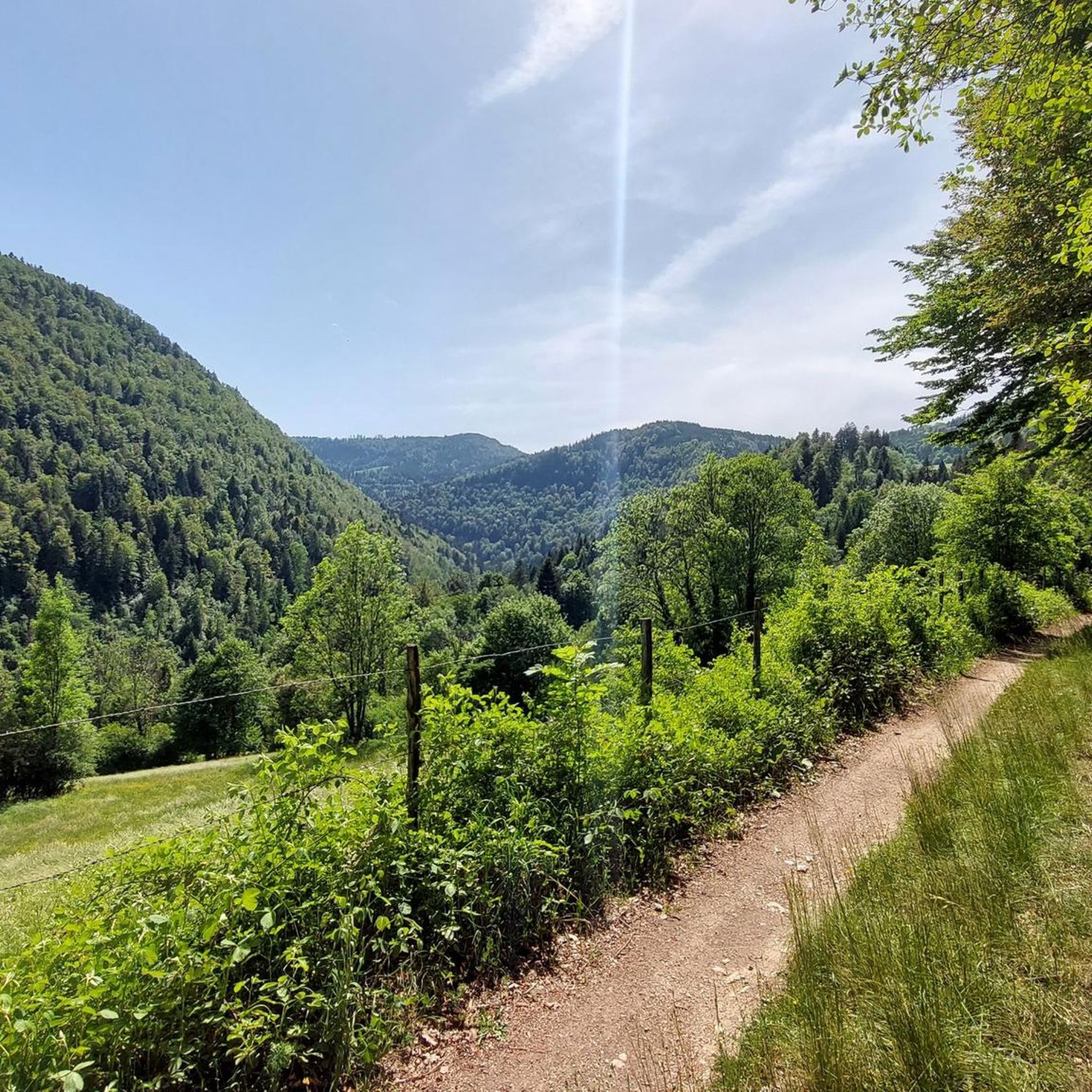
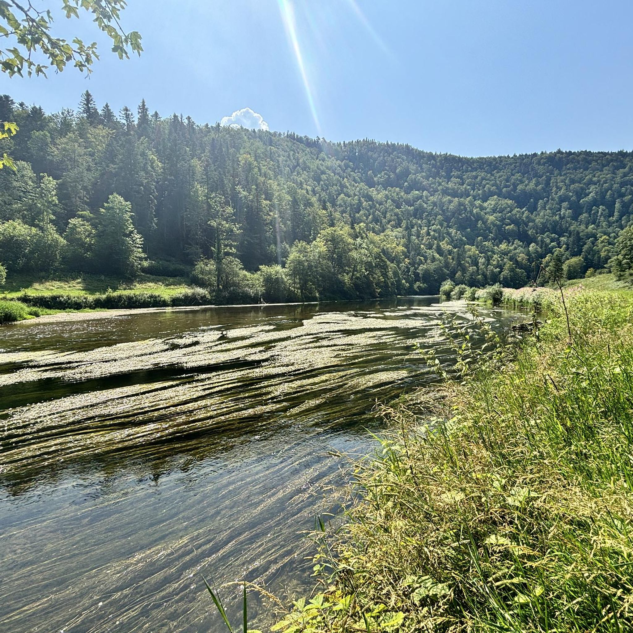
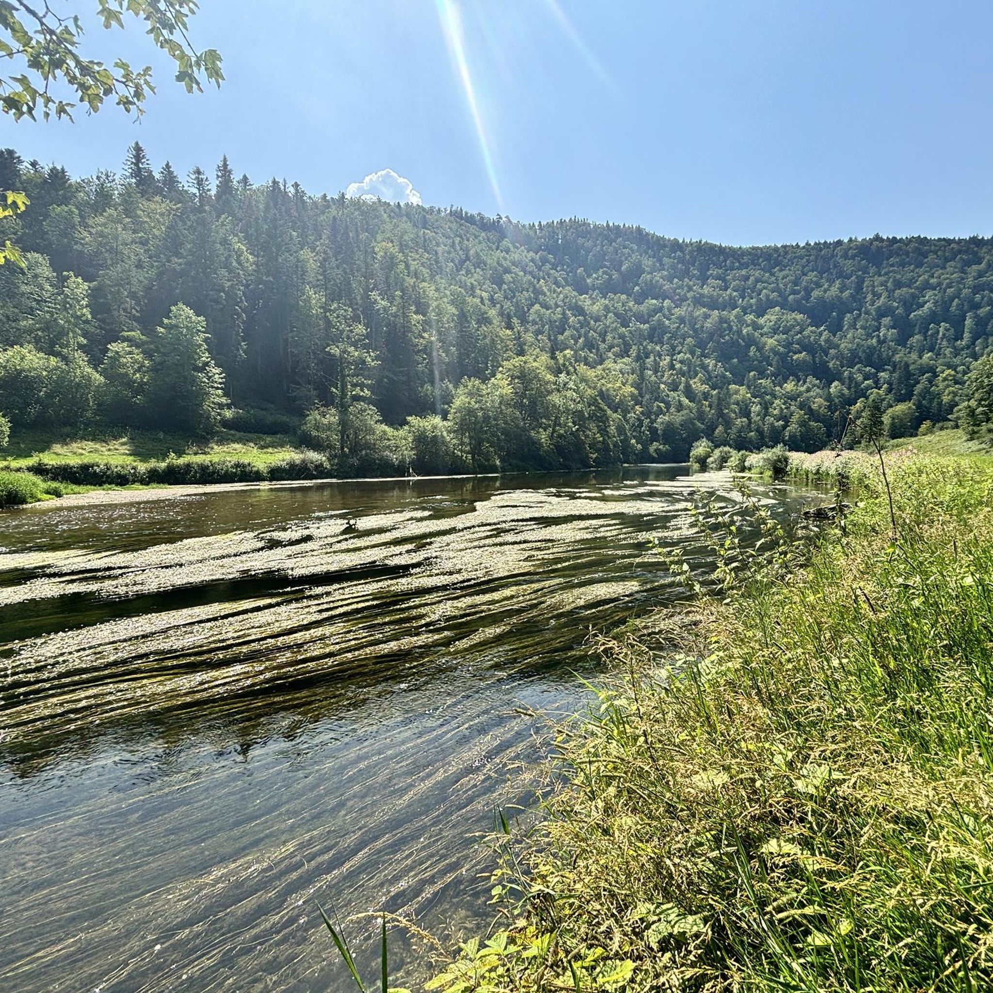
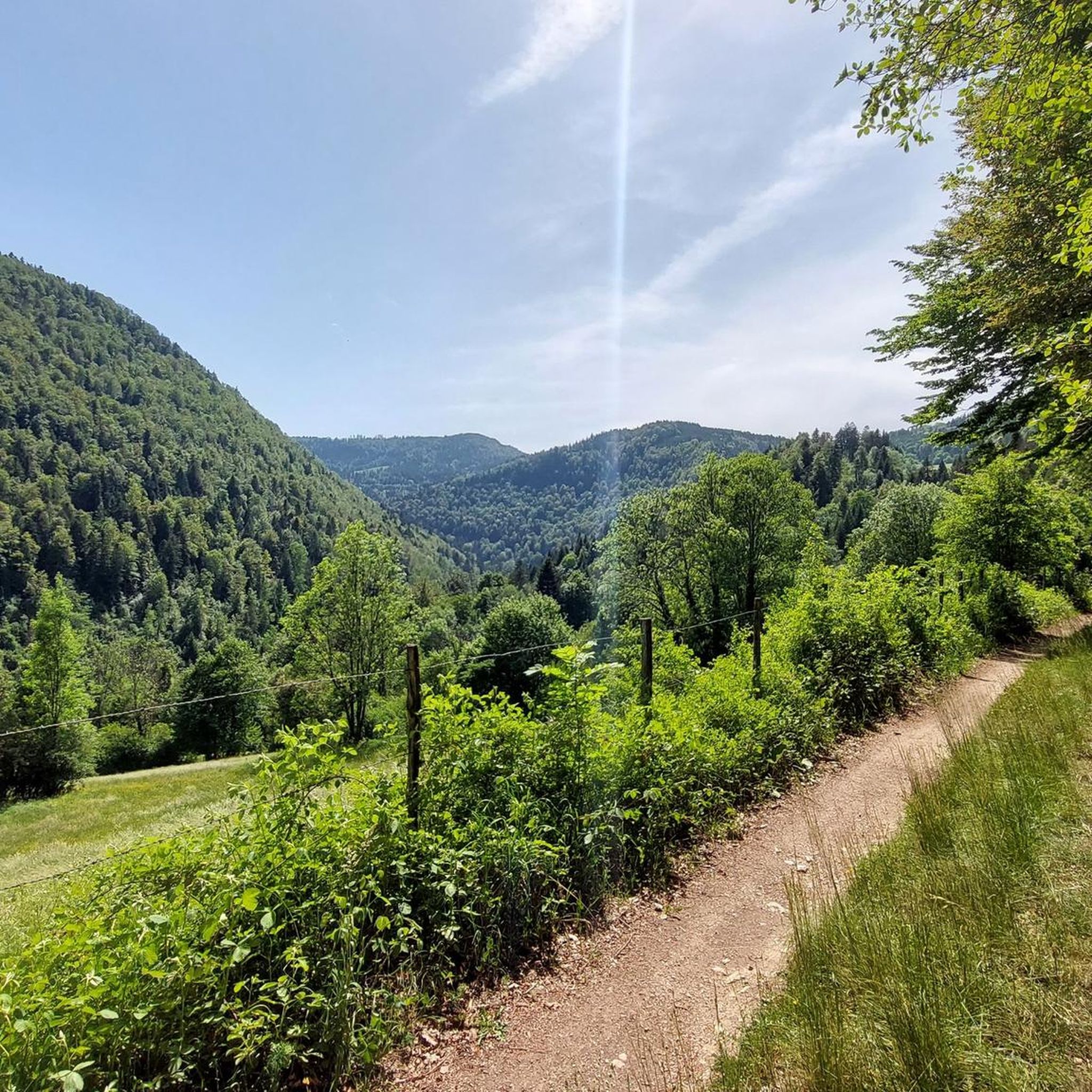
Road cycling around Indevillers offers diverse terrain within the Doubs department of the Burgundy-Franche-Comté region. The area is characterized by valleys, extensive forests, and the picturesque Doubs River, providing varied landscapes for cyclists. Routes feature a mix of flat sections and ascents, with altitudes ranging from approximately 473m to 922m in the immediate vicinity. This region benefits from a well-developed cycling infrastructure, including greenways and routes along waterways, making it suitable for different road cycling preferences.
Best road cycling routes…
Last updated: October 11, 2026
5.0
(3)
25
riders
39.1km
02:08
600m
610m
Moderate road ride. Good fitness required. Some segments of this route may be unpaved and difficult to ride.
4.0
(1)
27
riders
64.6km
03:22
930m
930m
Hard road ride. Very good fitness required. Mostly well-paved surfaces and easy to ride.

13
riders
24.3km
01:30
580m
580m
Moderate road ride. Good fitness required. Mostly well-paved surfaces and easy to ride.
12
riders
31.0km
01:26
230m
230m
Easy road ride. Great for any fitness level. Mostly well-paved surfaces and easy to ride.
9
riders
28.2km
01:32
340m
340m
Moderate road ride. Good fitness required. Some segments of this route may be unpaved and difficult to ride.
Get access to more routes and recommendations from other explorers.
Already have an account?
Our route recommendations are based on thousands of hikes, rides, and runs completed by other people on komoot.
Start today with a free account
Your next adventure awaits.

Tips from the Community

mega super pretty here
0
1
mega super pretty here
0
1

Goumois offers some culinary surprises, e.g. trout and other specialties.
1
0

Beautiful and fast descent surrounded by impressive rock faces
0
0

The beautiful old stone railway bridge crosses the valley with the road to the Col des Rangiers. The slender yet mighty bridge arches can be seen from afar and also mark the beginning of the climb.
0
0

The back of the Chasseral is always a beautiful view
0
0

Border bridge with Hotel du Doubs on the Swiss side
0
0

A rock that unmistakably resembles the face of a monkey 😉
1
0
Frequently Asked Questions
How many road cycling routes are available around Indevillers?
There are over 60 road cycling routes around Indevillers, offering a wide range of options for different skill levels and preferences. You'll find everything from easy rides to more challenging ascents.
What kind of terrain can I expect when road cycling near Indevillers?
The terrain around Indevillers is quite diverse, characterized by valleys, extensive forests, and the green landscapes of the Jura mountains. You can expect a mix of flat sections, particularly along the Doubs River, and ascents with altitudes ranging from approximately 473m to 922m in the immediate vicinity. Some routes even offer distant views of the Alps.
What are the difficulty levels of road cycling routes in Indevillers?
Indevillers offers a good mix of difficulty levels. Approximately 7 routes are considered easy, 37 are moderate, and 25 are difficult, ensuring there's something for every road cyclist, from beginners to experienced riders looking for a challenge.
When is the best time of year to go road cycling in Indevillers?
The best time for road cycling in Indevillers is typically during the spring, summer, and early autumn months when the weather is mild and the landscapes are lush. The region's diverse environment, with forests and valleys, provides pleasant conditions for riding.
What natural features can I see along road cycling routes in Indevillers?
Many routes offer stunning natural scenery. You can cycle along the picturesque Doubs River, which forms a border with Switzerland, or through extensive forests. Notable natural attractions nearby include the dramatic Saut du Doubs waterfall and the Gorges du Doubs, about 31 kilometers away. You might also encounter highlights like the Bief Waterfall or scenic viewpoints like View of the Doubs.
Are there any charming villages or historical sites to visit while cycling?
Yes, the region is dotted with charming villages and historical sites. For instance, the route Scenic trail along the Doubs – Saint-Hippolyte village loop from Glère passes through the charming village of Saint-Hippolyte, known for its ancient streets and Romanesque church. Other notable sites within cycling distance include Montbéliard with its castle, the architectural marvel of Ronchamp Chapel, and the imposing Château de Joux.
Are there any loop road cycling routes available around Indevillers?
Yes, many of the road cycling routes around Indevillers are designed as loops, allowing you to start and end in the same location. Examples include the popular Mont Soleil Wind Turbines – Mont Crosin (1,227 m) loop from Le Bémont and the longer Vallée du Doubs – Saint-Hippolyte Town Centre loop from Soubey.
What do other road cyclists enjoy the most about road cycling in Indevillers?
The area is highly rated by the komoot community, with an average score of 4.5 stars from over 50 reviews. Cyclists often praise the varied terrain, the scenic beauty of the Doubs River valley, and the extensive forests. The well-developed cycling infrastructure in the broader Bourgogne-Franche-Comté region also contributes to a positive experience.
Is parking available for cyclists in Indevillers?
While specific designated cyclist parking isn't detailed, Indevillers, as a commune, generally offers public parking options. For routes starting from specific villages like Glère or Soubey, you can typically find parking in or near the village centers.
How can I access Indevillers by public transport for cycling?
Accessing Indevillers directly by public transport for cycling might be limited due to its rural location. However, the broader Bourgogne-Franche-Comté region is well-connected. You might consider traveling to larger towns like Montbéliard by train and then cycling to Indevillers, or researching local bus services that may accommodate bicycles, though this can vary.
Are there family-friendly road cycling options in Indevillers?
While many routes feature ascents, the region's extensive network of greenways and routes along waterways, particularly within the broader Bourgogne-Franche-Comté, offers gentler options suitable for families. Look for routes described as 'easy' or those that stick to riverbanks for a more relaxed experience.
Can I find routes with scenic viewpoints around Indevillers?
Absolutely. The varied topography of Indevillers, with its valleys and higher elevations, provides numerous opportunities for scenic viewpoints. Routes climbing towards areas like Mont Crosin offer expansive vistas. You can also find specific viewpoints like View of the Doubs, which are popular among cyclists.
Most popular routes around Indevillers
Most popular attractions around Indevillers

Get inspired with the komoot mobile app


Explore more
Browse the best Road cycling routes in other regions.
