The best running trails around Molières-Cavaillac
4.5
(61)
1,531
runners
102
runs
Jogging routes around Molières-Cavaillac offer diverse terrain within the Gard department of Occitanie, France. The region features dramatic natural beauty, including the deep canyons of the Gorges de la Vis and the spectacular Cirque de Navacelles. Runners can explore mountainous Cévenol relief, lush valleys like the Vallée de l'Arre, and karst plateaus, providing varied elevation changes. The landscape is characterized by limestone formations and schists, offering a unique geological backdrop for outdoor activity.
Best jogging routes around Molières-Cavaillac
- The most popular jogging route is Running loop from Molières-Cavaillac, a 4.0 miles (6.5 km) trail that takes about 40 minutes to complete. This route offers a moderate challenge through the local landscape.
- Another top favourite among local runners is Arre Valley loop from Molières-Cavaillac, a difficult 15.1 miles (24.3 km) path. This route explores the scenic Vallée de l'Arre, known for its mountainous relief and panoramic views.
- Local runners also love the Running loop from Avèze, a 6.8 miles (11.0 km) trail leading through the varied terrain surrounding Avèze, often completed in about 1 hour 10 minutes.
- Jogging around Molières-Cavaillac is defined by deep gorges, verdant valleys, and high plateaus, with options ranging from accessible greenways to challenging trails with significant elevation gain. The network offers options for different ability levels, from easy runs to difficult mountain paths.
- The routes in Molières-Cavaillac are highly rated by the komoot community with an average score of 4.6 stars from more than 20 reviews. More than 1600 runners have used komoot to explore Molières-Cavaillac's varied terrain.
Last updated: July 8, 2026
29
runners
5.50km
00:37
80m
80m
Moderate run. Good fitness required. Mostly paved surfaces. Suitable for all skill levels.
25
runners
25.3km
03:37
1,200m
1,200m
Hard run. Very good fitness required. Mostly paved surfaces. Suitable for all skill levels.

Sign up for free
24
runners
13.3km
01:28
160m
160m
Moderate run. Good fitness required. Mostly paved surfaces. Suitable for all skill levels.
10
runners
7.74km
00:50
80m
80m
Moderate run. Good fitness required. Mostly paved surfaces. Suitable for all skill levels.
12
runners
6.52km
00:44
100m
100m
Moderate run. Good fitness required. Mostly paved surfaces. Suitable for all skill levels.
Get access to more routes and recommendations from other explorers.
Sign up for free
Already have an account?
Our route recommendations are based on thousands of hikes, rides, and runs completed by other people on komoot.
Start today with a free account
Your next adventure awaits.
Login or Signup
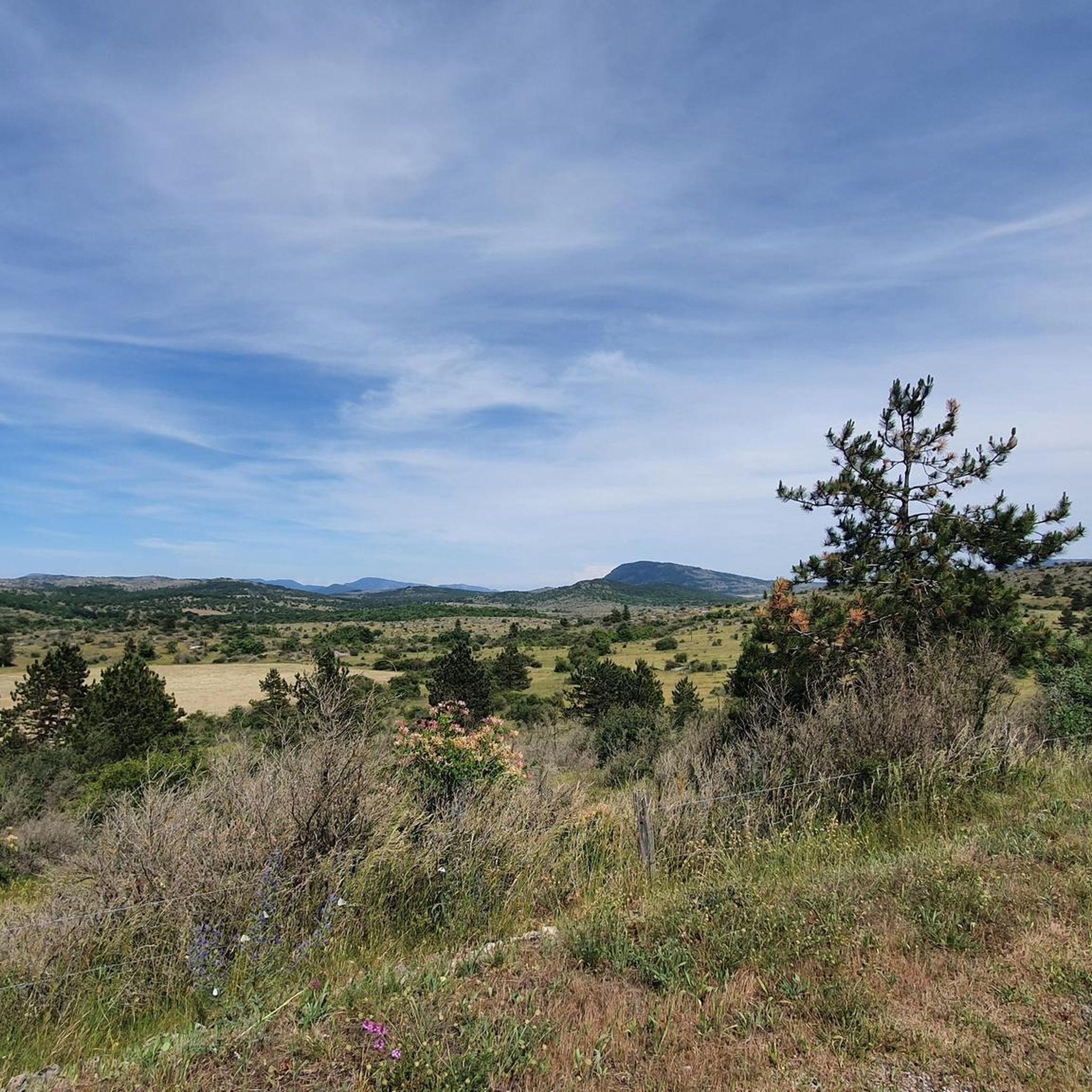
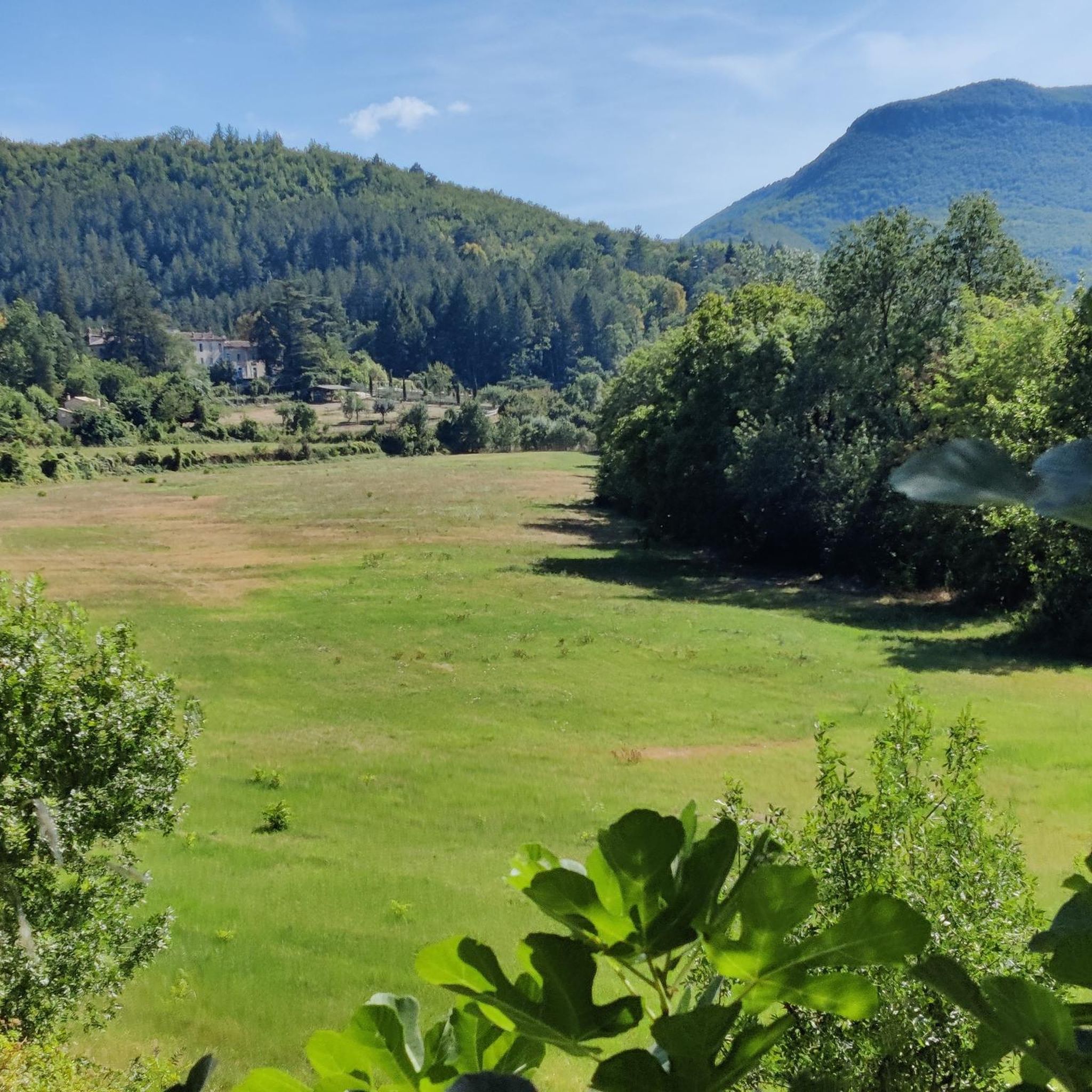
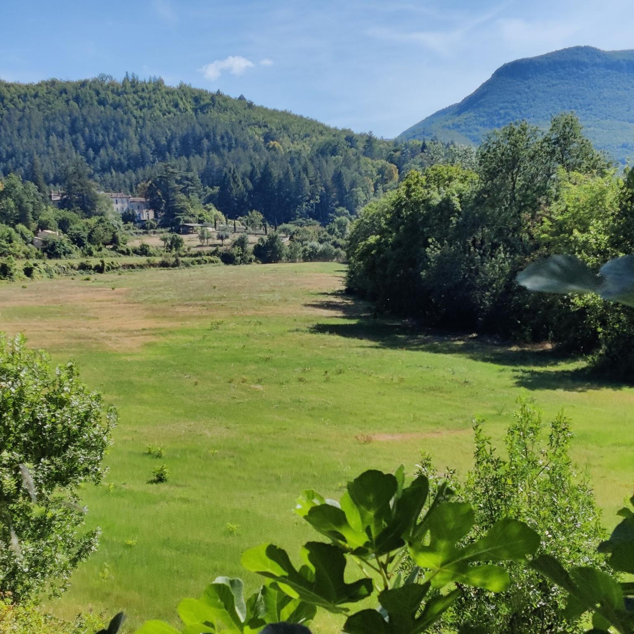
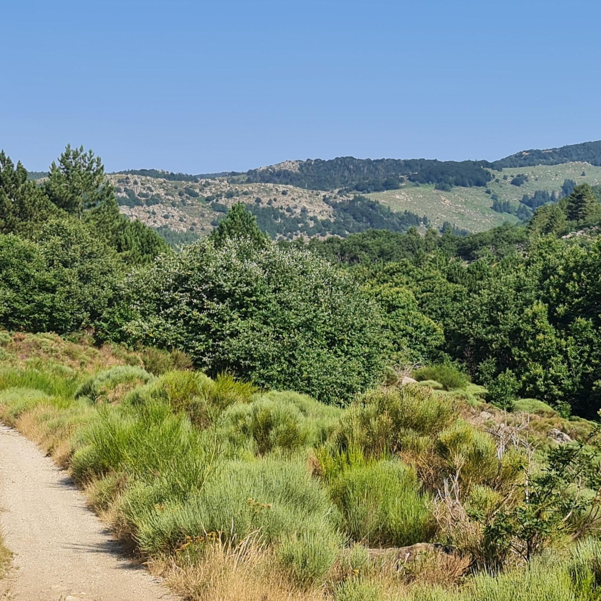
Tips from the Community

This viaduct is a perfect example of the many structures that make up the La Cévenol Greenway. Indeed, it follows the old railway line that crossed the Cévennes mountains.
0
0

Excellent 👌, easy to access and really great
1
0
Little water at this time, very pretty but not really want to set foot there
0
1

Although located in the Cévennes, the small town of Le Vigan forms a sort of junction between the Massif Central and the Mediterranean world. It's a geographical frontier at the crossroads of different climates and cultures. It is quite isolated compared to the nearest major cities, such as Alès or Nîmes. It is fed by three rivers, the main one being the Arre. A spring supplies the town with water, which, in these relatively dry regions, is an undeniable asset. The town center is very pleasant.
4
0

Path along the Arre valley allowing you to gain height and enjoy beautiful panoramas.
1
0
There are many waterfalls near Le Vigan. This one, which is on the Arre, has the particularity of being close to the city center.
1
0

Part of the former Tournemire-Le Vigan railway line Best accessed via the bridge – other locations can be difficult to judge. On the map, it looks like a "crossroads" – but in reality, there are elevation changes.
0
0

First of all, the town is not Le Vian but LE VIGAN. The bridge and the houses around exist more 5 centuries ago. I'm personally living in one of these houses closed to the roman bridge along the river Arre shown on these pictures.
0
0
Frequently Asked Questions
How many running routes are available in Molières-Cavaillac?
Molières-Cavaillac offers a wide selection of over 110 running routes, catering to various fitness levels. These include easy paths, moderate trails, and challenging runs with significant elevation changes, allowing you to explore the diverse landscapes of the Gard department.
Are there any easy or beginner-friendly jogging routes in the area?
Yes, Molières-Cavaillac has several accessible options for beginners or those looking for an easier run. There are at least 3 easy routes, and the region features the Voie Verte "Promenade du Viaduc", a 3.5 km path along an old railway line, which is ideal for a gentle and scenic jog. You can find more details about this greenway on the Tourisme Gard website.
What kind of natural landscapes can I expect to see while running in Molières-Cavaillac?
Jogging in Molières-Cavaillac offers a stunning variety of natural landscapes. You'll encounter dramatic features like the deep canyons of the Gorges de la Vis and the spectacular Cirque de Navacelles, a UNESCO Grand Site. Routes also traverse mountainous Cévenol relief, lush valleys such as the Vallée de l'Arre, and karst plateaus, providing a unique geological backdrop of limestone formations and schists.
Are there any circular running routes around Molières-Cavaillac?
Yes, many of the running paths in the region are circular, allowing you to start and finish at the same point. For example, the Running loop from Molières-Cavaillac is a popular 4.0-mile (6.5 km) moderate trail, and the more challenging Arre Valley loop from Molières-Cavaillac covers 15.1 miles (24.3 km) through scenic terrain.
What are some notable landmarks or viewpoints I can discover on a run?
The region is rich in impressive sights. You can run past the breathtaking Cirque de Navacelles, a natural amphitheater, and enjoy panoramic views from the Blandas Viewpoints. The Minier Pass, which marks a watershed, also offers a small waterfall. The Vallée de l'Arre provides beautiful panoramas, dominated by the Rocher d'Esparon.
Is Molières-Cavaillac suitable for trail running with significant elevation gain?
Absolutely. The diverse terrain, including canyons, mountain passes, and plateaus, makes Molières-Cavaillac an excellent destination for trail runners seeking a challenge. Many routes offer significant elevation changes, with some trails providing up to 1,000 feet of gain. The Arre Valley loop from Molières-Cavaillac, for instance, features over 1100 meters of ascent.
What do other runners say about the trails in Molières-Cavaillac?
The running routes in Molières-Cavaillac are highly regarded by the komoot community, holding an average rating of 4.6 out of 5 stars from over 20 reviews. More than 1600 runners have used komoot to explore the varied terrain, often praising the stunning natural beauty and the well-maintained paths.
Are there any dedicated trail running areas or historical paths to explore?
Yes, Molières-Cavaillac is home to a dedicated Ceven'Trail space, indicating well-maintained routes specifically for trail running. Additionally, you can explore the ancient historical path known as the "Chemin des Rutènes," which offers a hiking loop starting from the village, blending natural beauty with a connection to the region's past.
Are there any running routes near Molières-Cavaillac that start from other villages?
Yes, you can find excellent running options starting from nearby villages. For example, the Running loop from Avèze is a 6.8-mile (11.0 km) moderate trail that takes you through the varied terrain surrounding Avèze. Another option is the Running loop from Bez-et-Esparon, a 6.0-mile (6.0 km) moderate route.
Can I find routes that offer a mix of natural beauty and historical interest?
Certainly. The region's geological diversity means you'll often run through areas where limestone formations meet older schists, with local houses sometimes carved into the limestone. The "Chemin des Rutènes" is a prime example of a route that combines natural beauty with historical significance, allowing you to trace an ancient path while enjoying the scenery.
Are there any routes that pass by waterfalls?
Yes, the region's mountainous terrain includes features like the Col du Minier, which is located at an altitude of 1,264 meters and features a small waterfall. This can offer a refreshing stop during a climb and adds to the scenic variety of your run.
Are there picnic areas available along or near the running routes?
Yes, for post-jogging relaxation or a family outing, there's a pleasant picnic area by the water along the Arre river, conveniently located near the Voie Verte. This provides a great spot to unwind and enjoy the natural surroundings after your run.
Most popular attractions around Molières-Cavaillac

Get inspired with the komoot mobile app


Explore more
Browse the best Running Trails & Routes in other regions.
