The best running trails around Montfrin
4.4
(82)
4,455
runners
262
runs
Jogging around Montfrin offers diverse terrain, situated between the Rhône and Gardon rivers in the Gard department of France. The region features scenic river banks, limestone ridges, and ochre hills, providing varied running trails. Paths often integrate natural landscapes with historical sites, including sections of greenways and converted railway lines. This combination creates a dynamic environment for runners seeking both natural beauty and cultural interest.
Best jogging routes around Montfrin
- The most popular jogging route is The Aiguille rock formation…
Last updated: June 29, 2026
64
runners
18.9km
02:21
420m
420m
Hard run. Very good fitness required. Mostly paved surfaces. Suitable for all skill levels.
22
runners
17.0km
01:50
70m
70m
Hard run. Very good fitness required. Mostly paved surfaces. Suitable for all skill levels.

Sign up for free
8
runners
14.4km
01:31
60m
60m
Moderate run. Good fitness required. Mostly paved surfaces. Suitable for all skill levels.
5.0
(1)
6
runners
12.5km
01:21
140m
140m
Moderate run. Good fitness required. Mostly paved surfaces. Suitable for all skill levels.
5
runners
6.28km
00:39
30m
30m
Moderate run. Good fitness required. Mostly paved surfaces. Suitable for all skill levels.
Get access to more routes and recommendations from other explorers.
Sign up for free
Already have an account?
Our route recommendations are based on thousands of hikes, rides, and runs completed by other people on komoot.
Start today with a free account
Your next adventure awaits.
Login or Signup

Tips from the Community

Super layout of an old railway line.
0
0

nice little tunnel on an old railway line
0
0

A picturesque cave monastery, the likes of which are not found anywhere else in these latitudes.
0
0

Do this circuit during the week, not on the weekend, too many people around
0
0
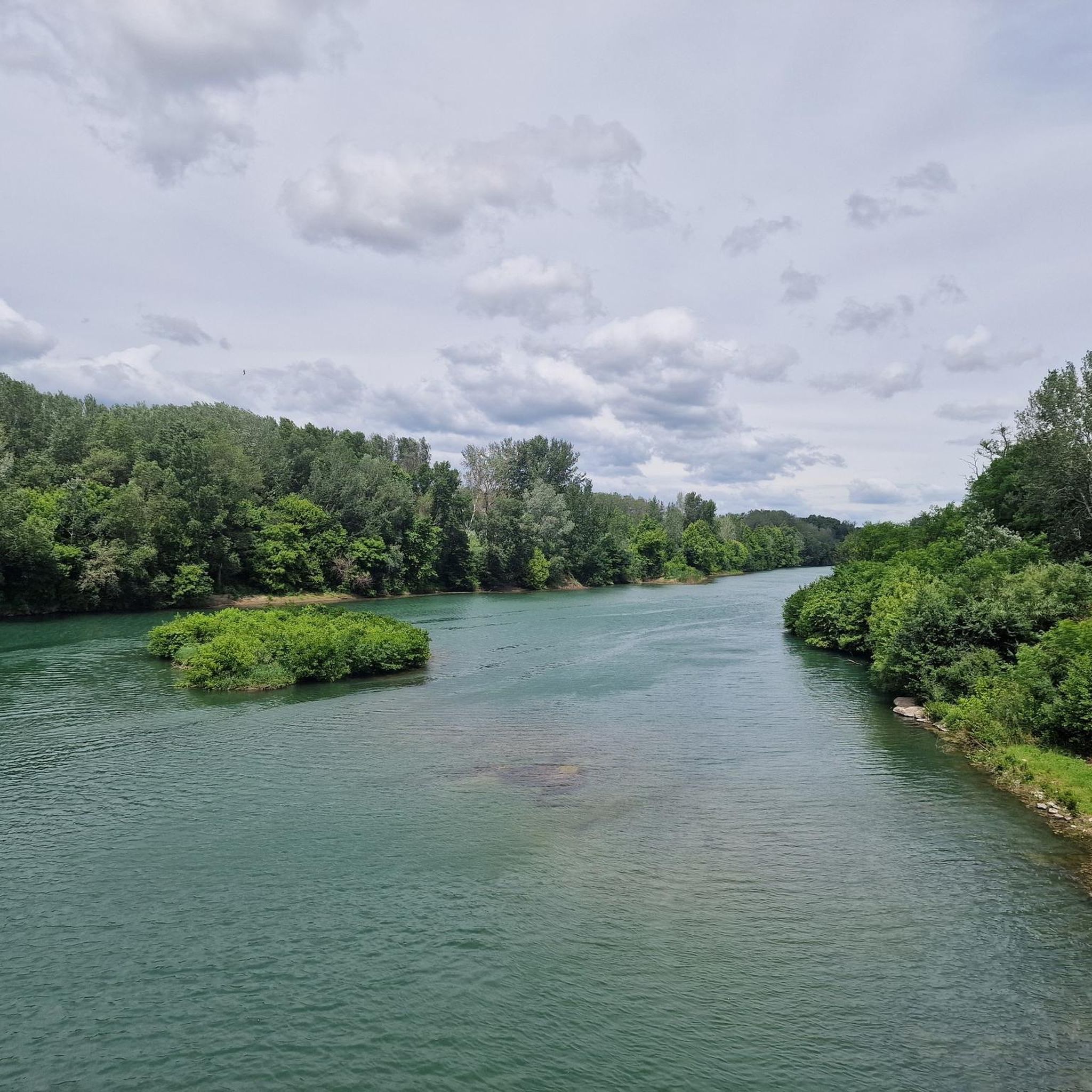
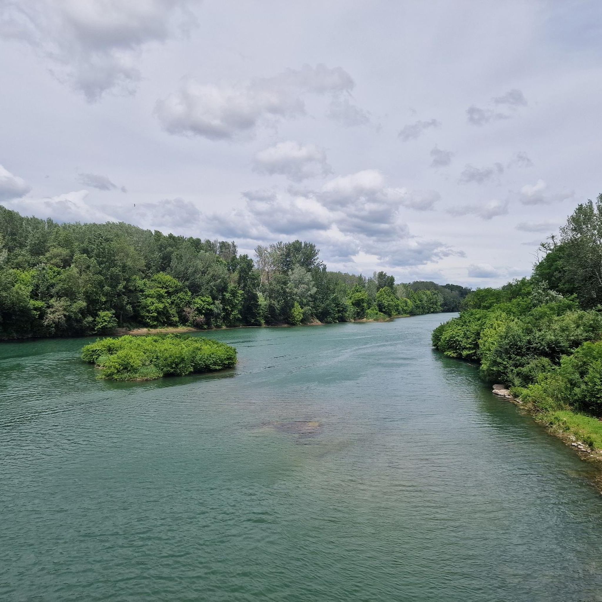
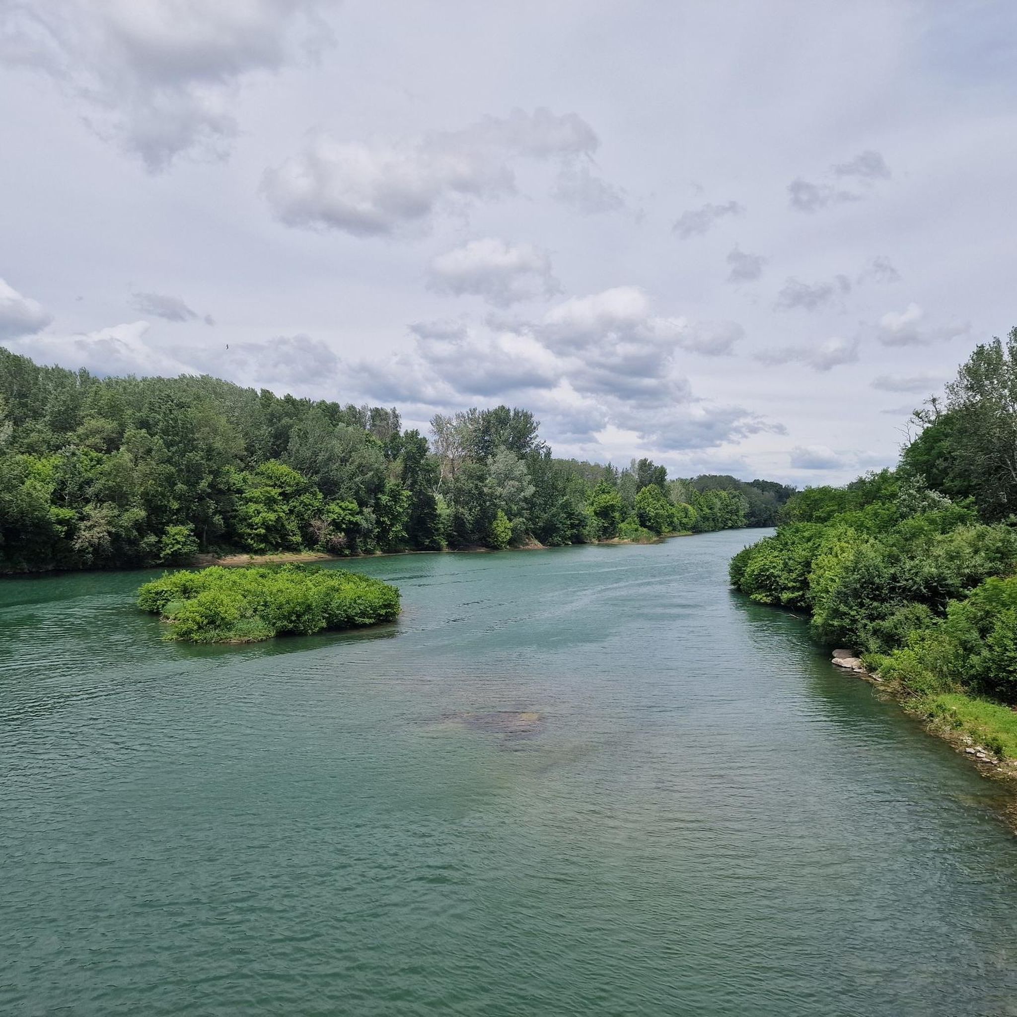
very beautiful bucolic view
1
0

Don't hesitate to stop in the tunnel to enjoy the light shows.
0
0
An interesting visit in a simple and pleasant landscape. The view from the top of the site extends into the distance over the Rhône. The very well-signposted route is enhanced by a flyer giving all the necessary explanations for a good understanding of this walk. Note, however, the lack of signage to find the site (no information sign before arriving at the access path). Other negative points: no toilets or water point. But a large parking lot. However, these small drawbacks should not prevent you from discovering this very curious construction dug into shell sandstone.
0
0

Frequently Asked Questions
How many running routes are available around Montfrin?
Montfrin offers a wide selection of over 260 running routes, catering to various preferences and fitness levels. You'll find everything from easy paths to more challenging trails with significant elevation.
What kind of terrain can I expect on Montfrin's running trails?
The running trails around Montfrin feature diverse terrain, including scenic river banks along the Gardon, distinctive limestone ridges, and ochre hills. Many routes also incorporate accessible greenways and converted railway lines, providing varied surfaces for your run.
Are there running routes suitable for beginners in Montfrin?
Yes, Montfrin has approximately 18 easy running routes perfect for beginners or those looking for a relaxed jog. These paths often follow flatter sections, such as the greenways, offering a gentle introduction to the region's beauty.
Are there any challenging running trails for experienced runners?
Absolutely. For experienced runners seeking a challenge, Montfrin offers around 35 difficult routes. One such route is The Aiguille rock formation – Saint-Roman Abbey loop from Comps, which is nearly 19 km long with significant elevation gain, taking about 2 hours 20 minutes to complete.
What natural features can I see along the running routes?
Many routes showcase Montfrin's natural beauty. You can run along the scenic Gardon River banks, explore areas with unique limestone ridges, and discover the Baume Site, known for its natural wall. The region's proximity to the Rhône and the Camargue also means opportunities to experience diverse ecosystems.
Are there any historical landmarks or attractions near the running trails?
Yes, several routes pass by or near historical sites. The Pont du Gard Greenway loop from Montfrin, for instance, leads you through the scenic Pont du Gard Greenway, offering views of the majestic Pont du Gard itself. You might also encounter parts of the charming Montfrin old town or converted railway lines with unique features like a cycle tunnel with a light show.
Are there any running routes with good viewpoints in Montfrin?
Yes, many routes offer scenic vistas. For example, the Lovely view of the Gardon loop from Montfrin provides excellent perspectives of the river. The region's limestone ridges also offer elevated points for panoramic views of the surrounding landscape.
Are there family-friendly running options in Montfrin?
Montfrin offers several easy and moderate routes that are suitable for families. The greenways and converted railway lines provide flat, well-maintained surfaces, ideal for running with children. Look for routes with lower difficulty ratings for a more relaxed family outing.
Can I bring my dog on the running trails in Montfrin?
While many outdoor areas in France are dog-friendly, it's always best to check specific trail regulations. Generally, dogs on a leash are welcome on most natural paths and greenways. Ensure you carry water for your pet and clean up after them.
What do other runners appreciate about the trails in Montfrin?
The running trails in Montfrin are highly rated by the komoot community, with an average score of 4.5 stars from over 70 reviews. Runners often praise the diverse terrain, the beautiful riverine landscapes, and the integration of natural beauty with historical sites, making for engaging and varied runs.
Are there loop running routes available in Montfrin?
Yes, many of Montfrin's running routes are designed as loops, allowing you to start and finish at the same point. Examples include the Beaucaire Arena – Dragons of Tarascon loop from Comps and the Running loop from Comps, which offer convenient circular paths.
Is there parking available near the running routes?
Many trailheads and popular starting points in and around Montfrin, especially those near towns or attractions like the Pont du Gard Greenway, typically offer designated parking areas. It's advisable to check specific route details for parking information before you go.
Most popular attractions around Montfrin

Get inspired with the komoot mobile app


Explore more
Browse the best Running Trails & Routes in other regions.
