The best walks and hikes around Gaujac
4.5
(253)
1,404
hikers
122
hikes
Hiking around Gaujac offers diverse trails through a landscape characterized by rolling hills, historical sites, and Mediterranean vegetation. The region, situated in the Gard department, features paths that often lead to elevated viewpoints, providing expansive vistas of the surrounding countryside. Many routes incorporate cultural landmarks such as the Oppidum of Saint-Vincent, reflecting the area's rich heritage. The terrain typically includes a mix of open fields, garrigue, and wooded sections, with varied elevation changes.
Best hiking trails around Gaujac
- The most…
Last updated: June 25, 2026
5.0
(1)
13
hikers
3.02km
00:55
110m
110m
Easy hike. Great for any fitness level. Easily-accessible paths. Suitable for all skill levels.
13
hikers
6.26km
01:46
130m
130m
Easy hike. Great for any fitness level. Easily-accessible paths. Suitable for all skill levels.

Sign up for free
5.0
(1)
17
hikers
15.1km
04:08
230m
230m
Moderate hike. Good fitness required. Easily-accessible paths. Suitable for all skill levels.
4.0
(4)
13
hikers
11.0km
03:01
180m
180m
Moderate hike. Good fitness required. Easily-accessible paths. Suitable for all skill levels.
5.0
(1)
11
hikers
11.0km
02:56
130m
130m
Moderate hike. Good fitness required. Easily-accessible paths. Suitable for all skill levels.
Get access to more routes and recommendations from other explorers.
Sign up for free
Already have an account?
Our route recommendations are based on thousands of hikes, rides, and runs completed by other people on komoot.
Start today with a free account
Your next adventure awaits.
Login or Signup
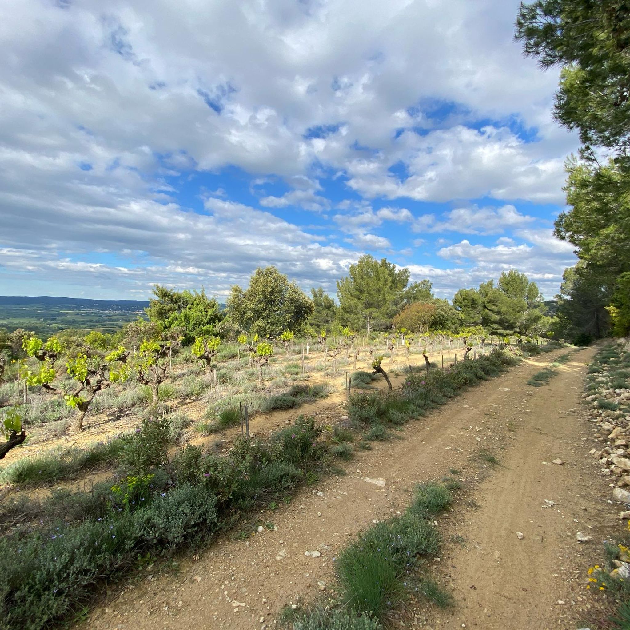
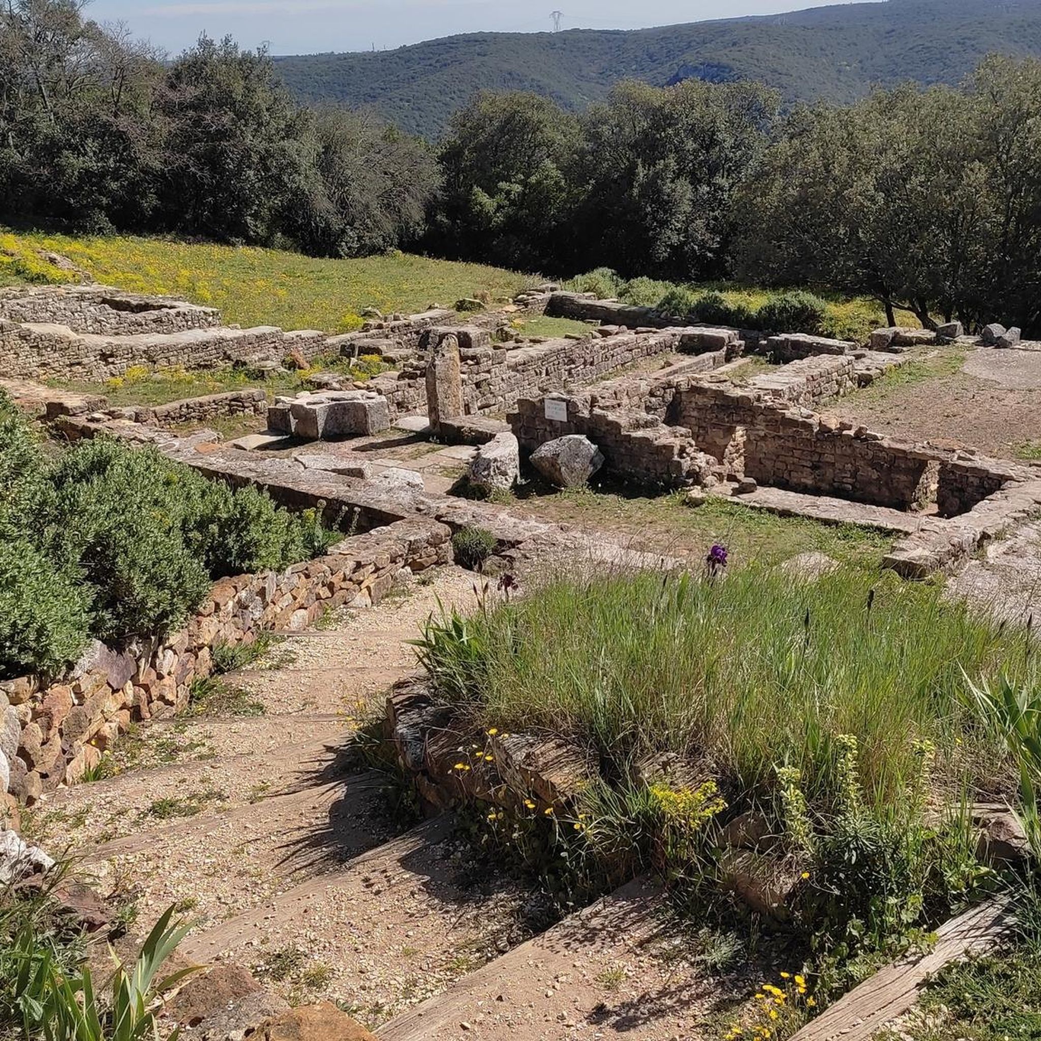

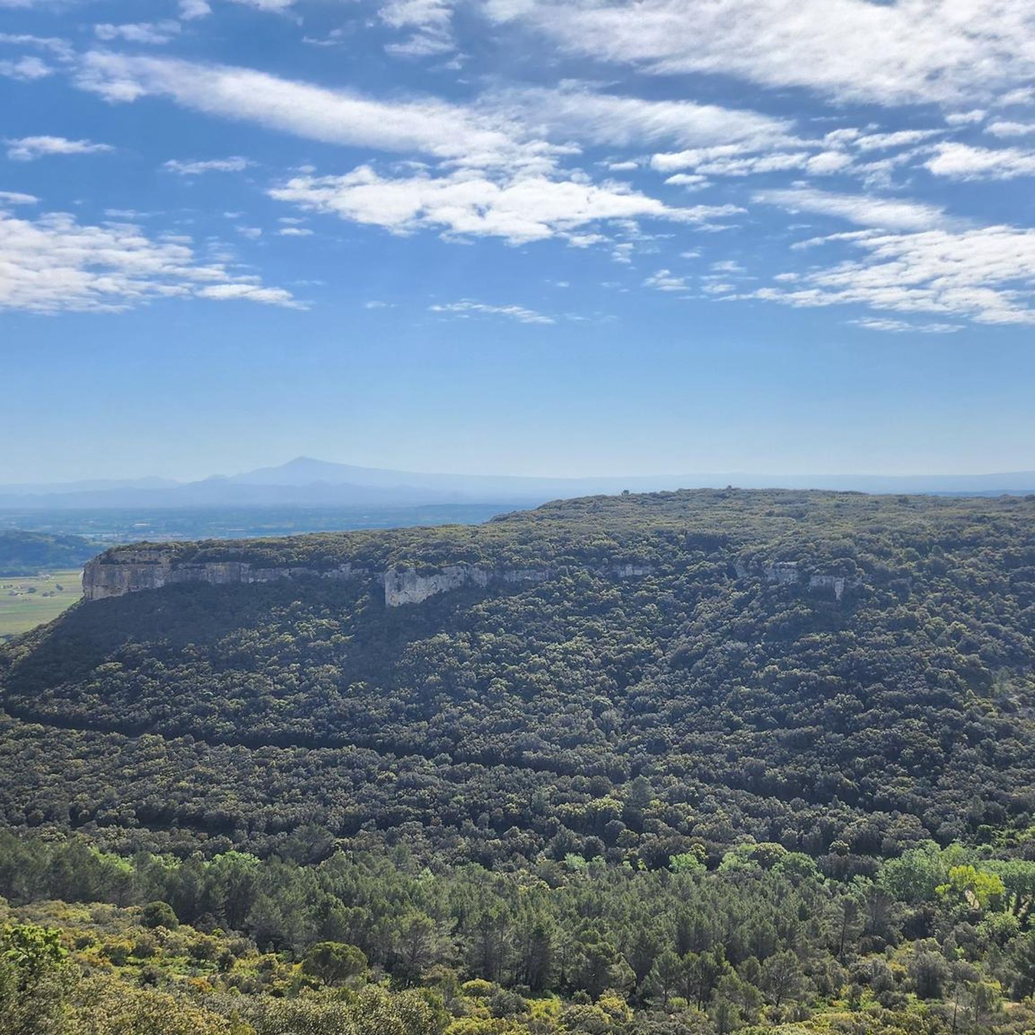
Tips from the Community

Superb chapel that would deserve a minimum of maintenance...
0
0

Point of view with orientation table
0
0
Former Gallo-Roman oppidum on which a medieval village was added (thus exploiting the stone resource that the old oppidum constituted).
0
0
Magnificent windmill restored relatively recently.
1
0

To take the maquis in French means to disappear in the woods and nature. The maquis became a symbol of resistance during the Second World War. The resistance fighters called themselves maquisards. The maquis specifically refers to those Mediterranean forests composed largely of stunted holm oaks in the middle of which you now move. It is today the kingdom of wild boars.
4
0

Nice view point at the transmitter masts
0
0
A bit of climbing and scrambling for a nice view.
0
0
Archaeological excavations.
0
0
Frequently Asked Questions
How many hiking trails are available around Gaujac?
Gaujac offers a wide selection of hiking opportunities, with over 120 trails available. These routes cater to various preferences, from easy strolls to more challenging excursions.
Are there easy hiking trails suitable for beginners or families in Gaujac?
Yes, Gaujac has plenty of easy trails perfect for beginners or families. You'll find approximately 40 easy routes, many of which are relatively short and feature minimal elevation gain. A great option is the Oppidum of Saint-Vincent loop from Gaujac, an easy 1.9-mile (3.0 km) path that takes about 55 minutes to complete.
Can I find circular hiking routes in Gaujac?
Many of the hiking trails around Gaujac are circular, allowing you to start and end your journey in the same location. For example, the Viewpoint – Oppidum of Saint-Vincent loop from Le Pin is an easy 3.9-mile (6.3 km) circular path offering scenic views.
What kind of historical sites or landmarks can I see while hiking in Gaujac?
Hiking in Gaujac often combines natural beauty with rich history. Many trails lead to or pass by significant historical sites like the Oppidum of Saint-Vincent. You can also explore other nearby attractions such as the Chapel of the Hermitage of Notre-Dame de Mayran or the Camp de César Archaeological Site.
Are there any longer, more challenging hikes around Gaujac?
While Gaujac is known for its accessible trails, there are also more challenging options. You can find over 80 moderate routes, some extending up to 6.8 miles (11.0 km) like the Oppidum of Saint-Vincent – Chapelle Saint-Saturnin loop from Gaujac, which features varied terrain and takes around 3 hours. There are also a couple of difficult trails for experienced hikers.
What is the best time of year to go hiking in Gaujac?
The Mediterranean climate of Gaujac makes it suitable for hiking for much of the year. Spring and autumn offer pleasant temperatures and vibrant landscapes, ideal for exploring. Summer can be warm, so early morning or late afternoon hikes are recommended. Winter hiking is also possible, especially on milder days.
What do other hikers say about the trails in Gaujac?
The hiking trails in Gaujac are highly regarded by the komoot community, holding an impressive average rating of 4.6 stars from over 230 reviews. Hikers frequently praise the well-maintained paths, the historical points of interest, and the diverse scenery, which includes rolling hills and Mediterranean garrigue.
Are there hiking trails in Gaujac that offer scenic viewpoints?
Absolutely. The region's rolling hills and elevated terrain mean many routes provide expansive vistas of the surrounding countryside. The Oppidum of Saint-Vincent – Viewpoint loop from Gaujac is a moderate 4.8-mile (7.7 km) trail specifically designed to showcase these scenic views.
Are there trails that explore the garrigue landscape of Gaujac?
Yes, the garrigue is a defining feature of the Gaujac landscape, and many trails wind through this aromatic, shrubland environment. You'll experience a mix of open fields, garrigue, and wooded sections on routes like the Windmill – Oppidum of Saint-Vincent loop from La Capelle-et-Masmolène, a moderate 9.4-mile (15.1 km) hike.
Is Gaujac a good destination for dog owners who want to hike?
Gaujac is generally welcoming for dog owners, with many trails suitable for hiking with your canine companion. It's always advisable to keep dogs on a leash, especially near historical sites or in areas with livestock, and to carry water for both yourself and your pet.
How long do hiking trails near Gaujac typically take to complete?
Hiking durations in Gaujac vary significantly depending on the trail's length and difficulty. Easy routes like the Oppidum of Saint-Vincent loop from Gaujac can be completed in under an hour, while longer moderate trails, such as the Oppidum of Saint-Vincent – Chapelle Saint-Saturnin loop from Gaujac, may take around 3 hours.
Most popular attractions around Gaujac

Get inspired with the komoot mobile app


Explore more
Browse the best Hikes in other regions.
