The best walks and hikes around Fréhel
4.5
(282)
1,462
hikers
63
hikes
Hiking around Fréhel offers diverse landscapes characterized by dramatic coastal cliffs of pink sandstone and schist, plunging over 70 meters into the Emerald Coast. The region features extensive heathland, known as the Lande de Fréhel, which supports unique flora. This area also includes a significant ornithological reserve, providing refuge for numerous seabirds. The terrain varies from rugged coastal paths to more sheltered inland routes.
Best hiking trails around Fréhel
- The most popular hiking route is Coastal Path at La Latte – Fréhel Heath loop from Pléhérel-Plage, a 14.2 miles (22.9 km) trail that takes 6 hours 6 minutes to complete. This difficult route combines expansive coastal views with the unique Fréhel heathland.
- Another top favourite among local hikers is View of Cap Frehel – Cap Fréhel Lighthouse loop from Malicorne, a moderate 10.7 miles (17.3 km) path. This route offers views of the iconic Cap Fréhel Lighthouse and surrounding coastline.
- Local hikers also love the Pointe aux Chèvres – Pléhérel-Plage loop from Plurien, an 8.2 miles (13.2 km) trail leading through coastal scenery, often completed in about 3 hours 32 minutes. This moderate path provides views of Cap Fréhel.
- Hiking around Fréhel is defined by dramatic coastal cliffs, expansive heathland, and diverse birdlife. The network of trails offers options for various ability levels, from moderate coastal walks to more difficult loops.
- The routes in Fréhel are highly rated by the komoot community with an average score of 4.6 stars from over 270 reviews. More than 1600 hikers have used komoot to explore Fréhel's varied terrain.
Last updated: October 26, 2026
4.8
(103)
475
hikers
14.6km
03:54
160m
160m
Moderate hike. Good fitness required. Easily walkable paths.
4.7
(27)
127
hikers
14.4km
03:50
160m
160m
Moderate hike. Good fitness required. Easily walkable paths.

4.3
(7)
50
hikers
17.4km
04:47
290m
290m
Moderate hike. Good fitness required. Easily walkable paths.
4.6
(15)
93
hikers
19.5km
05:12
220m
220m
Hard hike. Very good fitness required. Easily walkable paths.
4.5
(10)
46
hikers
Moderate hike. Good fitness required. Easily walkable paths.
Get access to more routes and recommendations from other explorers.
Already have an account?
Our route recommendations are based on thousands of hikes, rides, and runs completed by other people on komoot.
Start today with a free account
Your next adventure awaits.
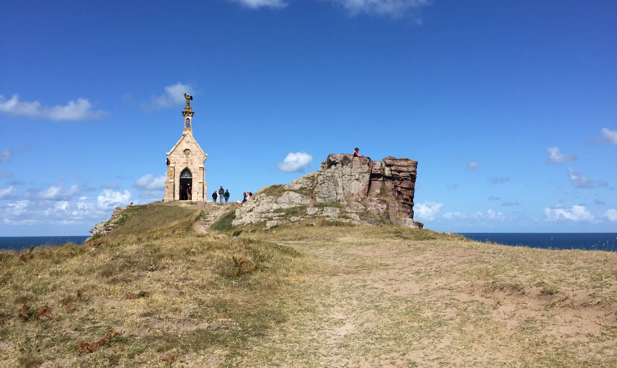
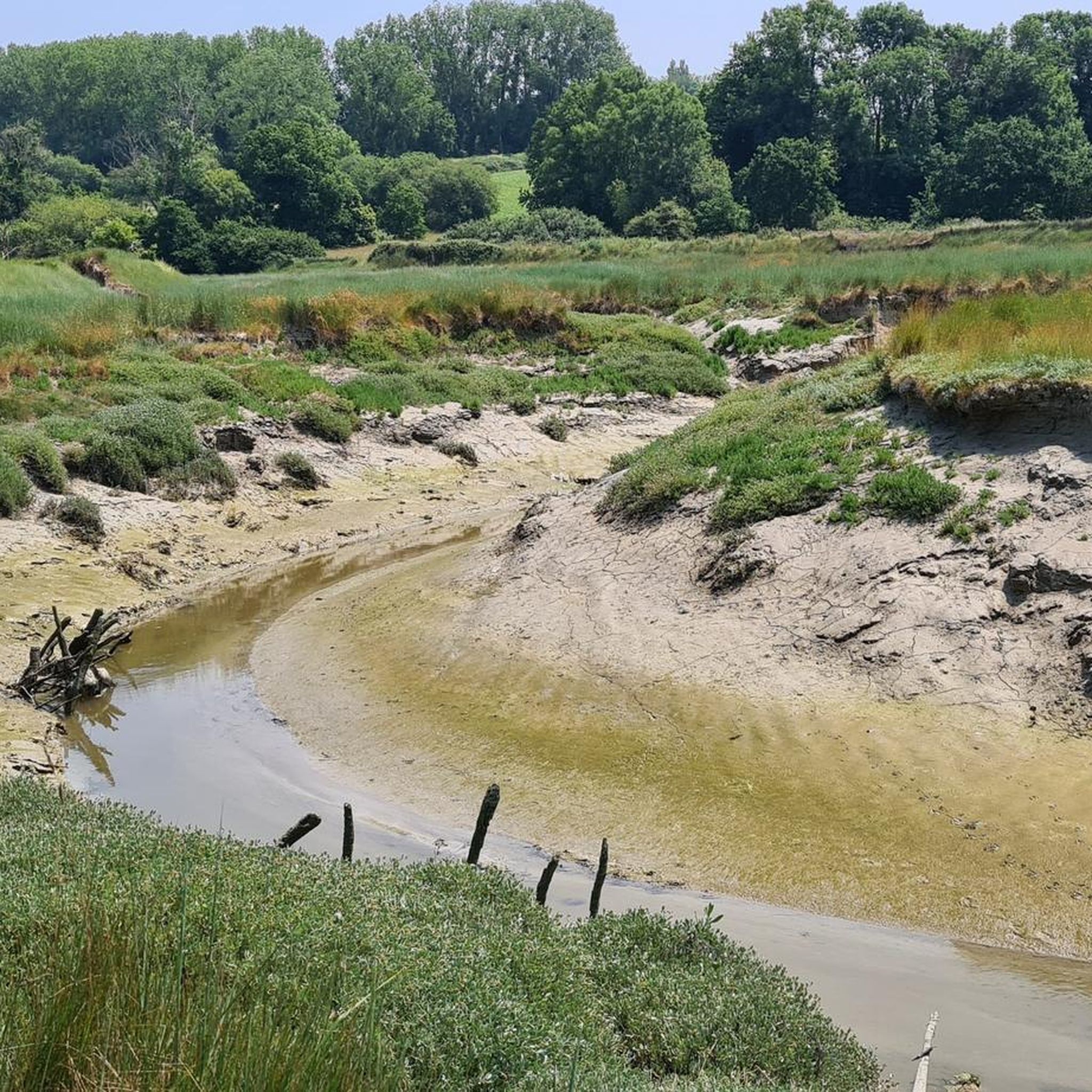
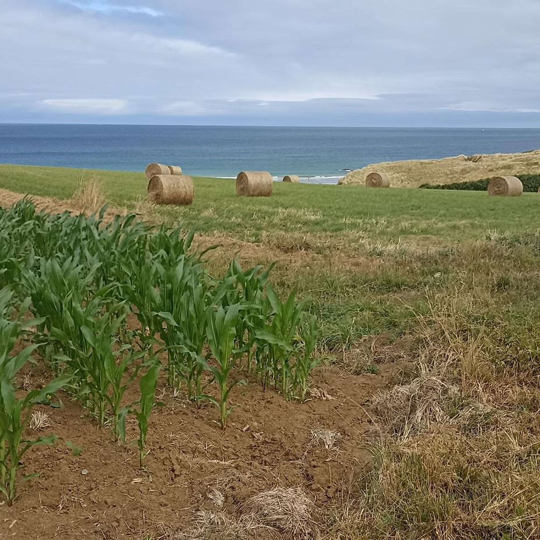
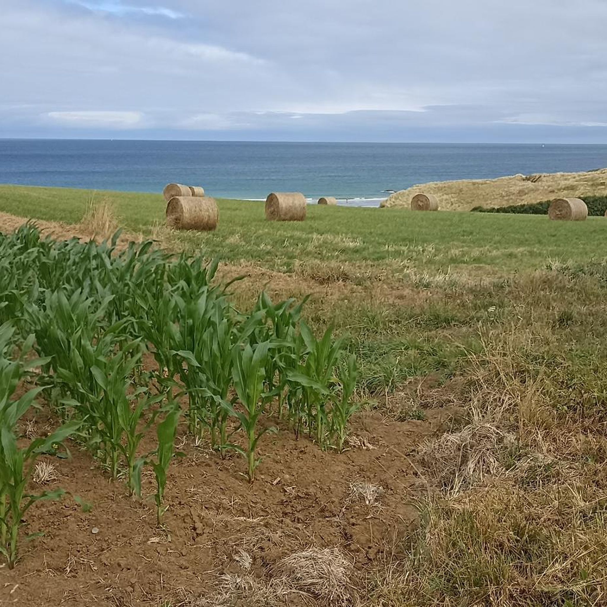
Other adventures around Fréhel

Tips from the Community

The menhir of La Latte, also called „Doigt de Gargantua“ (Gargantua's finger), is located near the Château de la Roche Goyon (Fort La Latte). The granite stone, about 2.60 meters high, dates from prehistoric times. In the Middle Ages or later, it was probably provided with a cross and thus interpreted in a Christian way. Breton legends surround the menhir, according to which the giant Gargantua is said to have lost a finger here. Today, the stone at the access to the fort recalls the long settlement history of the region.
18
0
In brilliant sunshine, Cap Fréhel shows itself from its most impressive side. The mighty cliffs glow in the warm light, while the lighthouse majestically rises above the vast heathland. Deep below the rocks, the clear, turquoise sea shimmers, forming a unique natural spectacle with the dark granite formations and the colorful heath areas. The wide view over the coast, the play of light and water, and the rugged beauty of the landscape make this place an unforgettable experience.
28
0
The approximately 2.6-meter-high stone is made of granite typical of the region and stands out for its slender, towering shape. As with many megaliths in Brittany, its original meaning is not clearly handed down. However, it is scientifically proven that it dates from the prehistoric era and was likely erected as part of the Neolithic megalithic culture. The stone received its current name through local folklore. According to Breton legends, it is said to be the finger of the giant Gargantua, who supposedly left it behind during his travels through the landscape. These tales belong to the rich world of Breton legends.
27
0
On the way to Fort La Latte, you encounter a special stone relic from times long past: the Doigt de Gargantua („Gargantua’s Finger“). The upright granite stone is a menhir from the Neolithic period and thus several millennia older than the medieval fortress. It serves as a reminder that the landscape around the Breton coast was already used and shaped by humans long before the construction of the castle.
28
0

Fantastically beautiful, a coastal hiking trail with very varied landscape strongly characterized by forest and heath
0
0
Fantastically beautiful, a coastal path with a very varied landscape strongly characterized by forest and heathland
1
0
Dreamlike views at every point of the hiking trail
1
0
The Plage des Loges is a secluded, natural cove surrounded by steep cliffs. Accessible via the GR34 hiking trail, the cove is considered a quiet retreat. Due to the remote nature of the Plage des Loges, there are no restrooms or restaurants on site.
28
0
Frequently Asked Questions
How many hiking trails are there in Fréhel?
Fréhel offers a wide variety of hiking opportunities, with over 70 trails recorded on komoot. These range from easy strolls to more challenging treks, ensuring options for various fitness levels and preferences.
What is the best time of year to go hiking in Fréhel?
The region is beautiful year-round, but spring and late summer are particularly vibrant. In spring, yellow gorse blooms across the heathland, while late summer sees the purple heather dominate, creating a stunning 'sea of color'. The changing weather, alternating between rain and sun, also contributes to the unique flora.
Are there any family-friendly hiking routes in Fréhel?
Yes, Fréhel offers diverse hiking possibilities suitable for various fitness levels, including easier strolls. While specific 'family-friendly' routes aren't detailed, many of the 40 easy trails available on komoot would be suitable for families. The Pointe aux Chèvres – Pléhérel-Plage loop from Plurien is a moderate 13.2 km path that offers coastal scenery and could be an option for active families.
Can I bring my dog on the hiking trails in Fréhel?
Generally, dogs are welcome on many hiking trails in Fréhel, especially on the coastal paths and heathlands. However, it's always recommended to keep them on a leash, particularly in protected areas like the ornithological reserve near Cap Fréhel, to protect local wildlife and ensure a pleasant experience for all hikers.
What kind of landscapes can I expect to see while hiking in Fréhel?
Fréhel is renowned for its dramatic landscapes. You'll encounter breathtaking coastal cliffs of pink sandstone and schist plunging into the Emerald Coast, expansive heathland known as the Lande de Fréhel, and a significant ornithological reserve. The scenery shifts from rugged coastlines to vibrant, colorful heathland depending on the season.
What are some notable landmarks or attractions to see along the trails?
Hikers can explore several iconic landmarks. The majestic Cap Fréhel Lighthouse offers exceptional views. The historic Fort La Latte, a restored castle, provides a dramatic backdrop. The Cap Fréhel Heaths are a natural spectacle, and the La Fauconnière Bird Reserve is a haven for seabirds.
Are there circular hiking routes available in Fréhel?
Yes, many of the trails in Fréhel are designed as loops, allowing you to start and end at the same point. For example, the View of Cap Frehel – Cap Fréhel Lighthouse loop from Malicorne is a popular moderate 17.3 km circular path offering views of the iconic lighthouse and coastline.
What is the GR34 customs path, and does it pass through Fréhel?
The GR34, also known as the customs path, is a famous and scenic long-distance trail that runs along the spectacular cliffs of the Emerald Coast. It indeed passes through Fréhel, particularly between Cap Fréhel and Fort La Latte, offering stunning coastal views. A notable section is the Trail between Cap Fréhel and Fort La Latte.
What do other hikers enjoy most about hiking in Fréhel?
The area is highly rated by the komoot community, with an average score of 4.6 stars from over 270 reviews. Reviewers often praise the dramatic coastal scenery, the unique and colorful heathland, and the diverse birdlife. The well-maintained network of trails also receives positive feedback for offering options for various ability levels.
Are there places to eat or drink near the hiking trails?
While specific cafes or restaurants directly on the trails are not detailed, the towns and villages surrounding Cap Fréhel, such as Pléhérel-Plage or Plurien, offer amenities where hikers can find places to eat and drink before or after their adventures.
How long do hikes around Cap Fréhel typically take?
Hikes around Cap Fréhel vary significantly in length and duration. You can find shorter strolls, but many popular routes range from moderate paths taking around 3-4 hours, such as the Pointe aux Chèvres – Pléhérel-Plage loop from Plurien (approx. 3 hours 32 minutes), to longer, more difficult loops that can take over 6 hours, like the Coastal Path at La Latte – Fréhel Heath loop from Pléhérel-Plage.
Is there parking available at the trailheads in Fréhel?
Yes, parking is generally available at key access points and popular trailheads around Cap Fréhel and the surrounding areas. It's advisable to check specific starting points for parking facilities, especially during peak seasons.
Are there any easy hiking routes for beginners in Fréhel?
Yes, Fréhel offers a good selection of easier routes. Out of the 70 trails available, 40 are classified as easy on komoot, making them suitable for beginners or those looking for a more relaxed walk. These paths allow you to enjoy the natural beauty without strenuous effort.
Most popular attractions around Fréhel

Get inspired with the komoot mobile app


Explore more
Browse the best Hikes in other regions.
