The best running trails around Langlade
4.5
(186)
3,188
runners
24
runs
Jogging routes around Langlade benefit from the region's extensive network of trails, spanning over 100,000 acres of County Forest and state-managed lands. The landscape features diverse topography, including rolling hills, glacial moraines, flat plateaus, and high ridges, providing varied terrain for runners. Natural features such as northern hardwood forests, Norway pine stands, cedar swamps, and tranquil lakes like Jack Lake enhance the running experience. Many trails wind alongside natural streams and through areas like Crocker Hills and Gartzke Flowage, offering…
Last updated: July 7, 2026
5.0
(2)
58
runners
8.47km
01:03
170m
170m
Jog the moderate 5.3-mile Oppidum de Nages loop from Langlade, exploring ancient ruins and enjoying panoramic views of the Vaunage valley.
24
runners
15.3km
01:51
220m
220m
Hard run. Very good fitness required. Mostly paved surfaces. Suitable for all skill levels.

Sign up for free
16
runners
7.99km
00:57
90m
90m
Moderate run. Good fitness required. Mostly paved surfaces. Suitable for all skill levels.
11
runners
15.5km
01:56
260m
260m
Hard run. Very good fitness required. Mostly paved surfaces. Suitable for all skill levels.
6
runners
11.3km
01:21
130m
130m
Moderate run. Good fitness required. Mostly paved surfaces. Suitable for all skill levels.
Get access to more routes and recommendations from other explorers.
Sign up for free
Already have an account?
Our route recommendations are based on thousands of hikes, rides, and runs completed by other people on komoot.
Start today with a free account
Your next adventure awaits.
Login or Signup

Tips from the Community

worth the trip but tricky descent
0
0

Unfortunately, there are a lot of tarmacked passages but a lovely walk nonetheless.
1
0

super town! he deserves to be on a mountain bike!
0
0


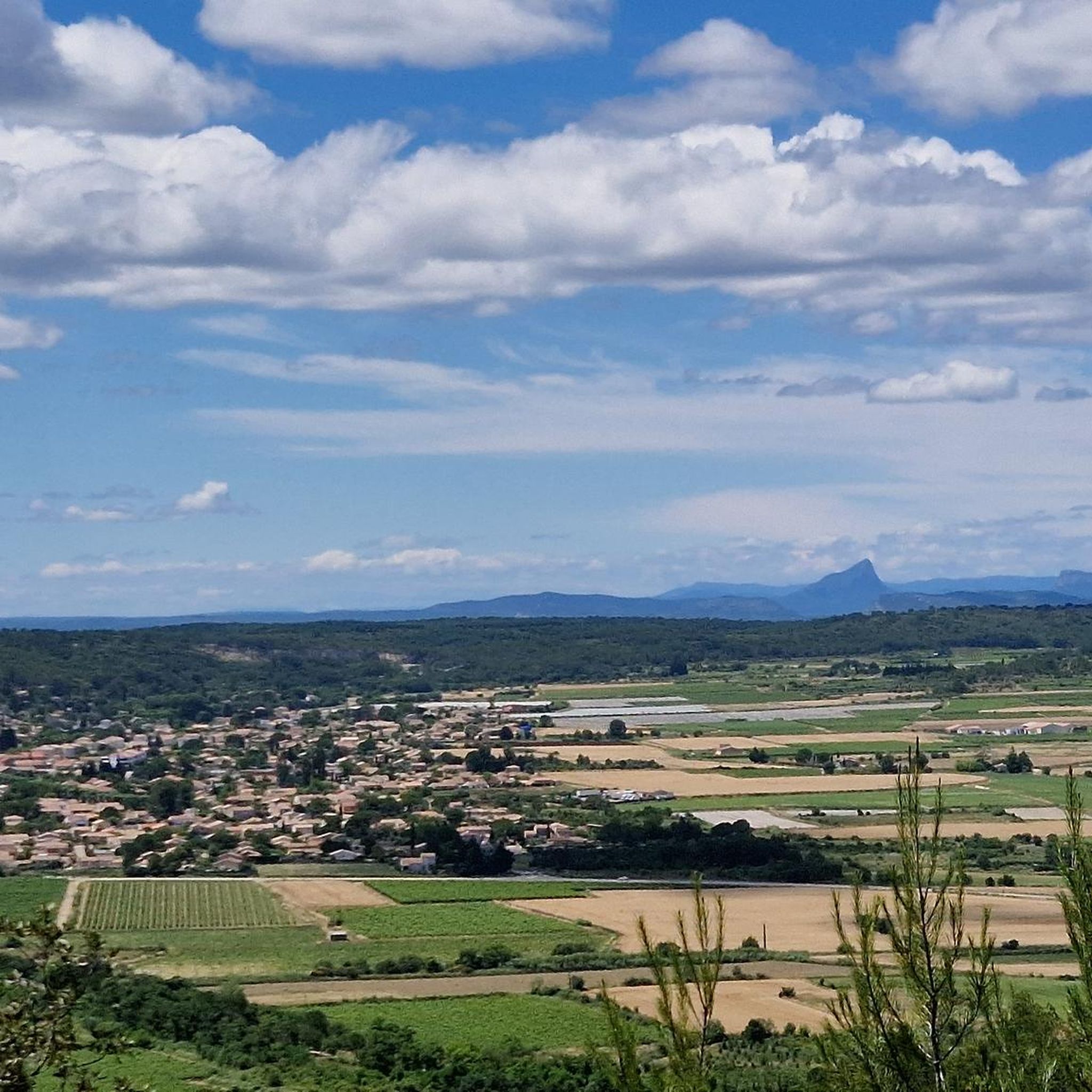
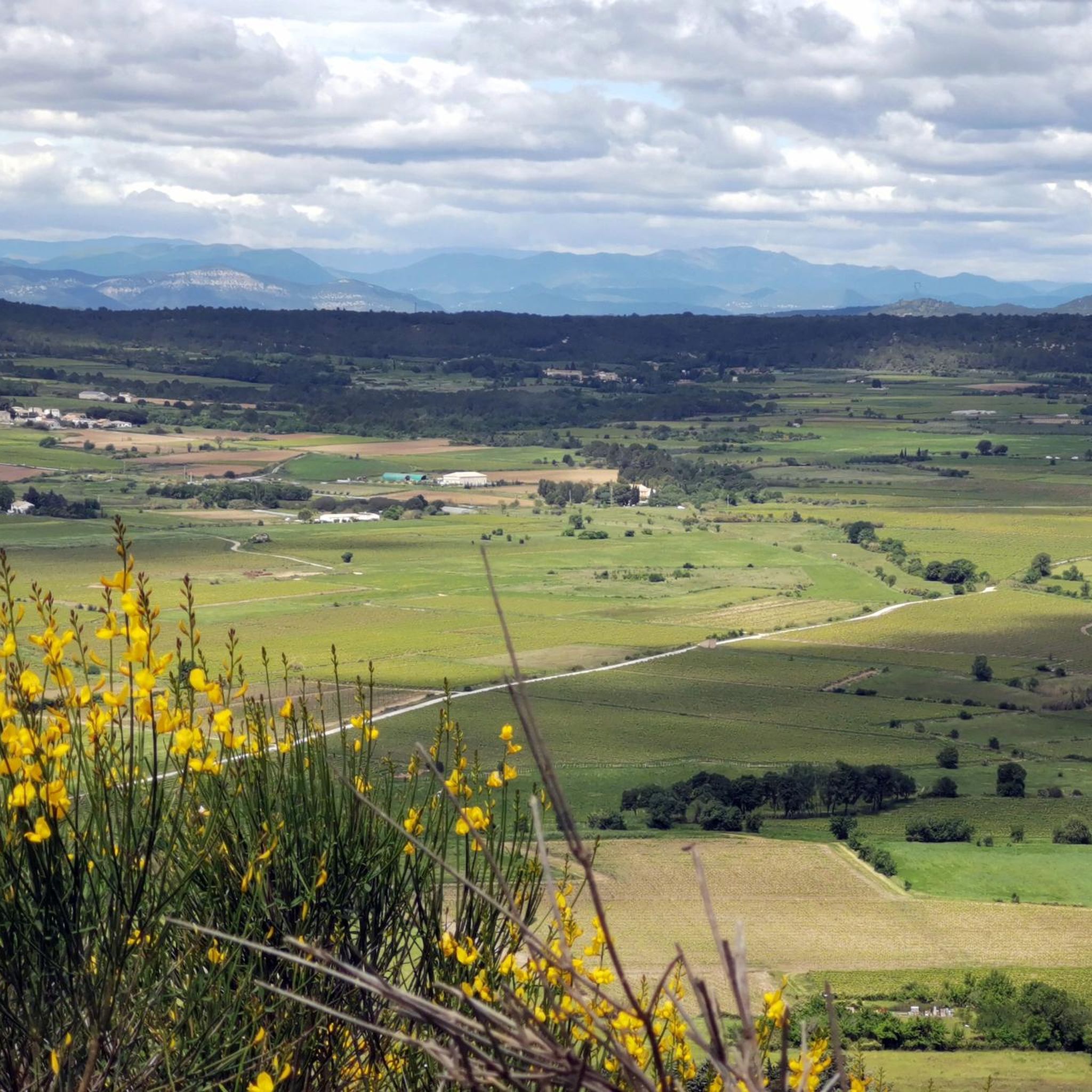
The view is truly magnificent over the entire Vaunage plain and much further: from Pic St Loup in the West to Mt Ventoux in the East, embracing the foothills of the Cévennes and Mont Bouquet. A pleasure always renewed depending on the time and the season!
1
0

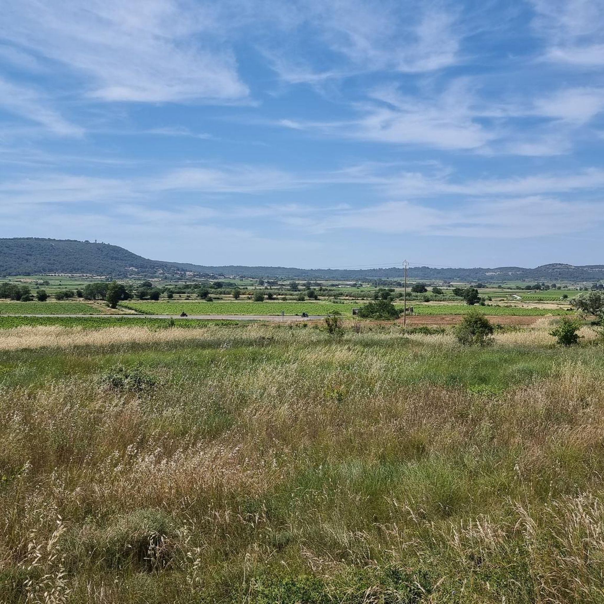
Many beautiful views of the Vaunages plain
0
0

Lots of stones in the segment leading to the Roman oppidum and very steep.
0
0

The plateau on which the windmill of Langlade is located offers magnificent panoramas.
3
0
Frequently Asked Questions
How many running routes are available in Langlade?
Langlade offers a wide selection of running routes, with over 20 options available on komoot. These routes cater to various preferences, from easy paths to more challenging trails, allowing you to explore the region's diverse landscapes.
What kind of terrain can I expect on the jogging trails in Langlade?
The running trails in Langlade feature diverse topography, including rolling hills, glacial moraines, flat plateaus, and high ridges. You'll encounter northern hardwood forests, Norway pine stands, cedar swamps, and tranquil lakes and streams, providing varied and engaging routes for all runners.
Are there challenging running routes for experienced runners in Langlade?
Yes, Langlade offers several challenging running routes. For instance, the Oppidum of Nages – Chemin des Aires loop from Langlade is a difficult 10.1-mile (16.2 km) path with significant elevation changes. Another difficult option is the Oppidum of Nages – Chemin des Aires loop from Langlade, which is 9.5 miles (15.3 km) long and leads through dense forests and varied topography.
Are there any easy running paths suitable for beginners or a more relaxed pace?
While many routes are moderate, Langlade does offer easier options. The region's extensive trail network includes paths suitable for different ability levels. You can find routes that provide a more relaxed experience, allowing you to enjoy the natural beauty without extreme challenges.
What natural features or landmarks can I see while running in Langlade?
Langlade's running routes are rich with natural beauty. You can expect to see northern hardwood forests, Norway pine stands, cedar swamps, and tranquil lakes and natural streams, particularly around Jack Lake and along the Wolf River. Scenic highlights include areas like Crocker Hills and Gartzke Flowage, known for their rolling scenery and unique features like the 70-foot wooden bridge over the Gartzke Flowage. For historical sights nearby, consider visiting the Maison Carrée (Roman Temple) or the Nîmes Amphitheatre.
Are there circular running routes available in Langlade?
Yes, many of the running routes in Langlade are circular, offering convenient starting and ending points. Examples include The Oppidum de Nages - trail loop starting from Langlade and the Langlade Windmill – Windmill loop from Langlade, which are both popular loop options.
Is it possible to run in Langlade during the winter months?
Yes, Langlade County is celebrated for its outdoor activities year-round. The National Ice Age Trail, for example, provides a serene and picturesque jogging experience, especially striking in winter with its snow-covered evergreens. Many trails are suitable for winter running, offering a unique and beautiful landscape.
What do other runners say about the trails in Langlade?
The running routes in Langlade are highly rated by the komoot community, with an average score of 4.5 stars from over 160 reviews. Runners often praise the diverse terrain, the beauty of the natural landscapes, and the extensive network of trails that offer options for all skill levels.
Are there amenities like restrooms or picnic areas near the running trails?
Yes, dedicated recreation areas such as Crocker Hills and Gartzke Flowage are equipped with amenities. These often include vaulted restrooms, open-air shelters, picnic tables, and fresh water access, serving as convenient starting points and rest areas for joggers.
Are there any long-distance running options in Langlade?
For those seeking longer runs, Langlade offers several routes that extend over 10 miles. The Oppidum of Nages – Chemin des Aires loop from Langlade is a challenging 10.1-mile (16.2 km) path, and the Oppidium Romain – Oppidum of Nages loop from Langlade covers 10.4 km, providing ample distance for endurance training or longer outings.
Where can I find parking for the running trails in Langlade?
Trailheads throughout Langlade County are often conveniently located, including near Antigo and within Veteran's Memorial Park at Jack Lake. Many dedicated recreation areas like Crocker Hills and Gartzke Flowage also serve as starting points and typically offer parking facilities for visitors.
Most popular attractions around Langlade

Get inspired with the komoot mobile app


Explore more
Browse the best Running Trails & Routes in other regions.
