The best walks and hikes around Bettweiler
4.4
(164)
930
hikers
82
hikes
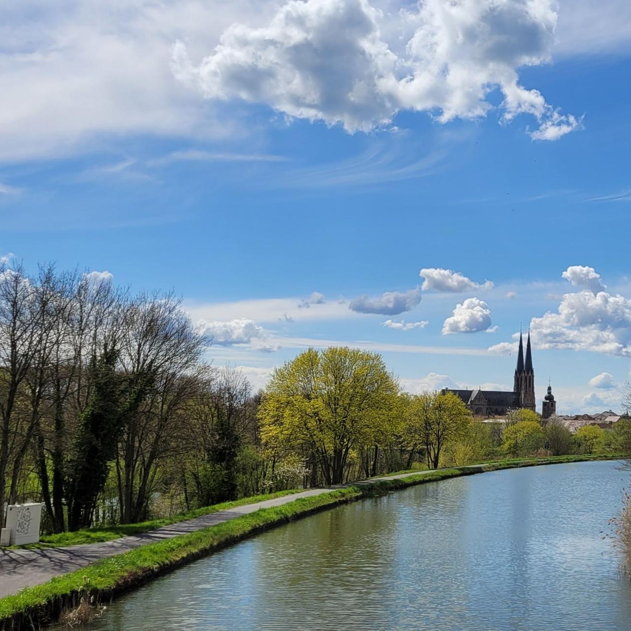
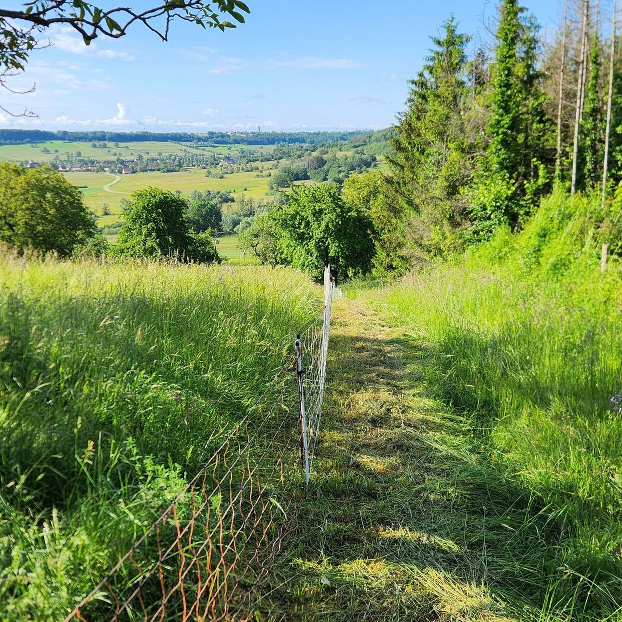
Hiking around Bettweiler offers a diverse landscape characterized by rolling terrain and historical points of interest. The area features a network of trails that lead through varied natural settings, connecting cultural landmarks and scenic viewpoints. Hikers can expect moderate elevation changes across routes that explore both natural beauty and local heritage.
Best hiking trails around Bettweiler
- The most popular hiking route is Château de Lorentzen – Mackwiller Church loop from Mackwiller, a 5.6 miles (9.1 km) trail that takes…
Last updated: October 22, 2026
4.3
(3)
23
hikers
Moderate hike. Good fitness required. Easily walkable paths.
4.5
(2)
15
hikers
Hard hike. Very good fitness required. Easily walkable paths.

13
hikers
8.31km
02:13
90m
90m
Moderate hike. Good fitness required. Easily walkable paths.
5.0
(1)
23
hikers
10.3km
02:42
90m
90m
Moderate hike. Good fitness required. Easily walkable paths.
5.0
(1)
7
hikers
4.90km
01:19
60m
60m
Easy hike. Easily walkable paths.
Get access to more routes and recommendations from other explorers.
Already have an account?
Our route recommendations are based on thousands of hikes, rides, and runs completed by other people on komoot.
Start today with a free account
Your next adventure awaits.



Tips from the Community

An Alsatian resting bench is a type of public bench built in Alsace during the 19th century. On market or fair days, farmers, and especially peasant women, would travel to the towns or large villages where a market was held. Heavily laden, they brought their farm produce. The peasant women carried a basket on their heads, protected by a cushion (der Wisch), filled with bran and wheat chaff. The peasant men, for their part, carried their produce in a basket slung over their backs by two leather straps. During stops, the peasant women could place their loads on the lintel and then rest on the bench on the lower slab, usually in the shade of four linden trees. On either side stood two posts where men could place their baskets or where riders could remount their horses. In Alsace, there are two types of resting benches: those of the King of Rome (also known as Marie-Louise benches[1]) dating from 1811; those of Empress Eugénie dating from 1854.
0
0

The church of St. Gallen was first mentioned in Mackwiller in the 15th century. From 1697 to 1897, the church was mixed, until the construction of the current parish church of St. Gallen. It was built on the site of an ancient Roman building from the 3rd century. The choir is surmounted by a bell tower built in the 15th century from ancient materials. After a fire during the Second World War, the church was rebuilt in 1842 and then in 1958.
0
0
The municipality of Mackwiller contains numerous Gallo-Roman remains: large thermal baths, apparently connected to a complex (19th century), a sanctuary dedicated to the cult of Mithras, in which fragments of a large relief were discovered (1955), a mausoleum near the baths (1966). Stone blocks from an ancient monumental building were also used in the construction of the Protestant church.
1
0

Beautiful Jewish cemetery. Beautiful access to secluded grounds. Impressive graves.
0
0


A few steps further is a bridge over the L' Acorn with the interesting addition.
0
1
Frequently Asked Questions
How many hiking trails are available around Bettweiler?
There are over 70 hiking trails around Bettweiler, offering a diverse range of options for all skill levels. The komoot community has recorded 74 routes in the area.
What kind of terrain can I expect on hikes around Bettweiler?
Hikes around Bettweiler feature rolling terrain with moderate elevation changes. You'll encounter varied natural settings, historical points of interest, cultural landmarks, and scenic viewpoints throughout the network of trails.
Are there any easy hiking trails suitable for beginners or families in Bettweiler?
Yes, Bettweiler offers 19 easy hiking routes perfect for beginners or families. These trails generally have less elevation gain and shorter distances, providing a pleasant outdoor experience for everyone.
Are there any circular hiking routes in the Bettweiler area?
Many of the trails around Bettweiler are circular, allowing you to start and end at the same point. For example, the View Over Alsace – Banc reposoir napoléonien loop from Mackwiller is a popular circular route offering scenic views and historical markers.
What are some interesting landmarks or attractions I can see while hiking near Bettweiler?
While hiking, you can explore several interesting sites. Consider visiting the Graufthal Troglodyte Houses, the Ruins of Graufthal Abbey, or the tranquil Donnerbach Pond. These attractions add a cultural and natural dimension to your hike.
What is the best time of year to go hiking in Bettweiler?
The best time to hike around Bettweiler is generally from spring through autumn. During these seasons, the weather is mild, and the natural scenery is at its most vibrant. Autumn offers particularly beautiful foliage.
Are there any long-distance or challenging hikes in Bettweiler?
Yes, for those seeking a challenge, there are 5 difficult routes available. A notable challenging hike is the Mackwiller Excavations – Remains of a Roman mausoleum loop from Mackwiller, which covers 11.9 miles (19.2 km) and explores ancient Roman history.
Can I bring my dog on the hiking trails in Bettweiler?
Most hiking trails in the Bettweiler region are dog-friendly, but it's always recommended to keep your dog on a leash, especially in areas with livestock or wildlife. Please check specific trail regulations if you plan to visit nature reserves.
Are there hiking routes accessible by public transport in Bettweiler?
While Bettweiler itself is a smaller community, some trailheads in the broader region may be accessible via local bus services connecting to larger towns. It's advisable to check local public transport schedules for specific routes and stops near your desired starting point.
What do other hikers enjoy most about the trails in Bettweiler?
The trails in Bettweiler are highly rated by the komoot community, with an average score of 4.4 stars from over 130 reviews. Hikers often praise the diverse terrain, the historical landmarks encountered along the way, and the well-maintained paths.
Are there any hikes that offer panoramic viewpoints in Bettweiler?
Yes, the region is known for its scenic viewpoints. The Banc reposoir napoléonien loop from Durstel is an excellent choice for hikers looking for expansive views, often leading to elevated spots that overlook the surrounding landscape.
Most popular routes around Bettweiler
Most popular attractions around Bettweiler

Get inspired with the komoot mobile app


Explore more
Browse the best Hikes in other regions.
