The best walks and hikes around Plancoët
4.6
(803)
5,066
hikers
130
hikes
Hiking around Plancoët offers a diverse landscape characterized by its proximity to the coast, featuring sandy beaches, rocky headlands, and river estuaries. The region also includes inland areas with gentle hills, agricultural lands, and some forested sections. Trails often follow the coastline, providing views of the English Channel, and venture into the countryside along rivers like the Arguenon. The terrain is generally accessible, with varied elevation changes suitable for different hiking abilities.
Best hiking trails around Plancoët
- The most popular…
Last updated: July 9, 2026
4.9
(10)
34
hikers
10.8km
02:52
100m
100m
Moderate hike. Good fitness required. Easily-accessible paths. Suitable for all skill levels.
3.0
(2)
31
hikers
18.1km
04:47
160m
160m
Moderate hike. Good fitness required. Easily-accessible paths. Suitable for all skill levels.

Sign up for free
4.0
(1)
11
hikers
8.80km
02:19
80m
80m
Moderate hike. Good fitness required. Easily-accessible paths. Suitable for all skill levels.
4.9
(26)
223
hikers
19.2km
05:02
150m
150m
Hard hike. Very good fitness required. Easily-accessible paths. Suitable for all skill levels.
1
hikers
13.1km
03:30
150m
150m
Moderate hike. Good fitness required. Easily-accessible paths. Suitable for all skill levels.
Get access to more routes and recommendations from other explorers.
Sign up for free
Already have an account?
Our route recommendations are based on thousands of hikes, rides, and runs completed by other people on komoot.
Start today with a free account
Your next adventure awaits.
Login or Signup
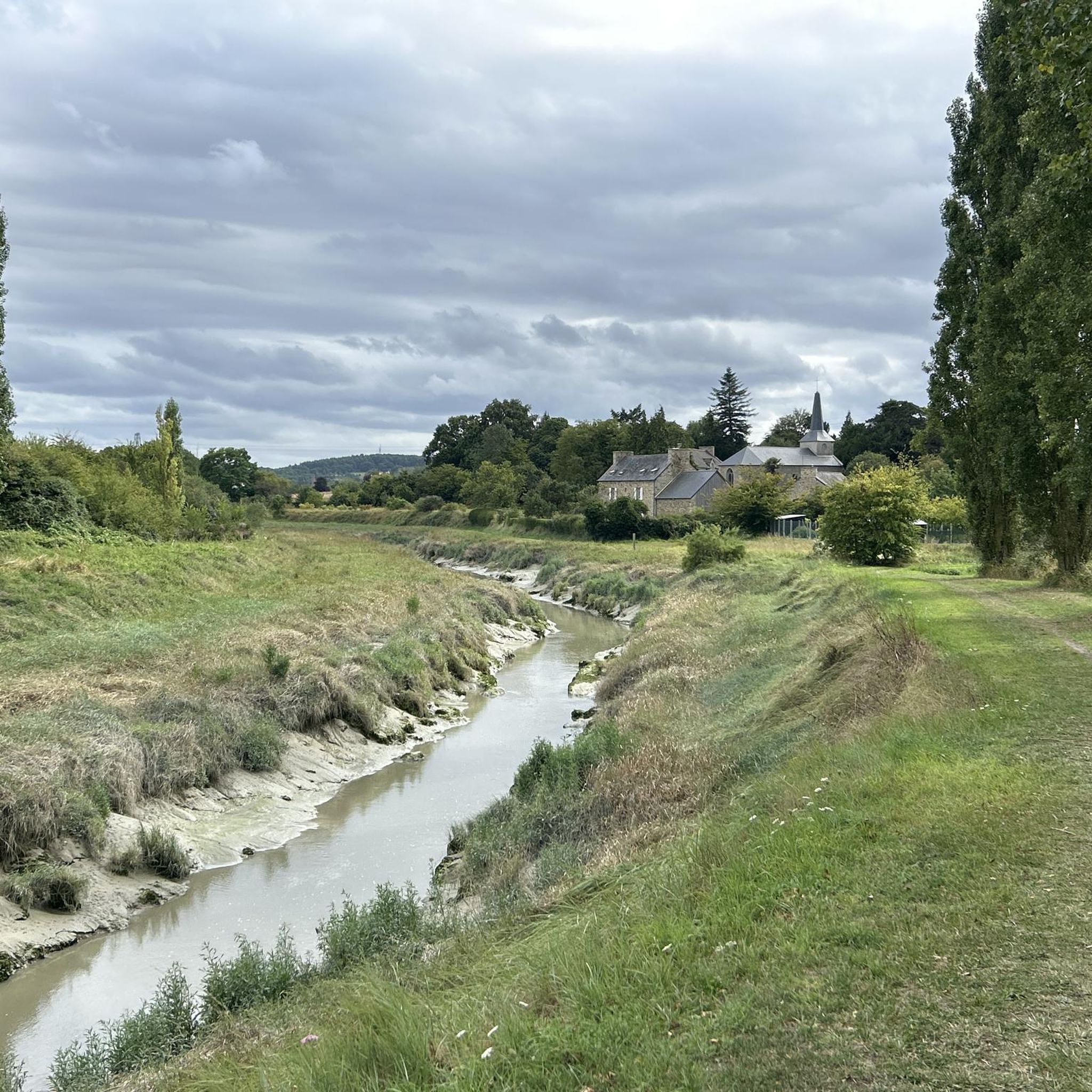
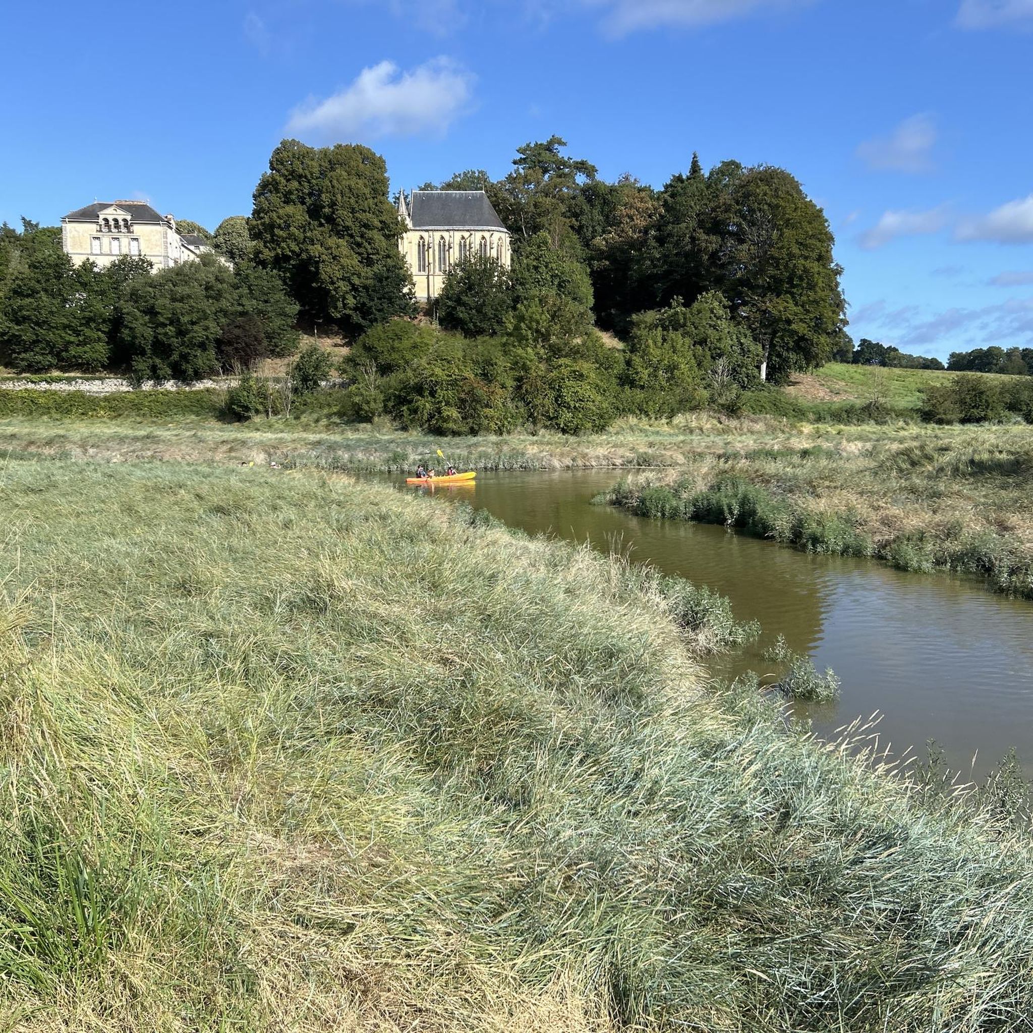
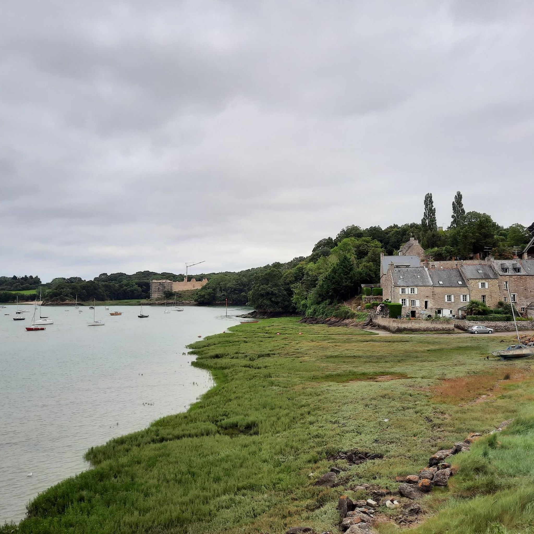

Tips from the Community

Beautiful panoramic view over two bays and several islands off the coast.
0
0
Beautiful park in an otherwise rather insignificant town.
0
0

great place ideal for a little family walk
0
0

At high tide it is the end of the headland, at low tide you can walk further to the next island.
0
1

Friendly and very tasty food.
0
0

Probably started in the 11th century and erected by the monks of the abbey around 1430, the monks' dike was intended to contain the onslaught of the sea, and to gain valuable arable land to feed a starving population. It is the first dike erected for the establishment of the polder, today undermined by rising waters. Some dikes in the surrounding area have given way, leading among other things to a modification of the route of the GR34 to move away from the coast for security reasons.
0
0

Saint Jacut de la mer. A very beautiful peninsula to enjoy without moderation...plus the shopkeepers are very nice...
1
1

A veritable fist buried in the Atlantic, the Pointe du Chevet offers beautiful views over the entire Bay of Arguenon. Further away, the island of Ebihens as well as the island of Colombière are flush with the ocean.
0
0
Frequently Asked Questions
How many hiking trails are there around Plancoët?
There are over 120 hiking trails around Plancoët, offering a wide range of options for all skill levels. This includes 58 easy routes, 61 moderate routes, and 5 more challenging trails.
Are there any easy, family-friendly hikes in the Plancoët area?
Yes, Plancoët offers many easy routes suitable for families. A great option is the Guildo Castle – Ruet Beach loop from Château du Guildo, an easy 3.9-mile (6.2 km) path that provides access to Ruet Beach and features gentle terrain.
Can I find circular hiking routes near Plancoët?
Many of the trails around Plancoët are circular, allowing you to start and end at the same point. For example, the popular Guildo Castle – Bechet Point loop from Le Guildo is a 7.9-mile (12.7 km) circular route offering coastal views.
What kind of scenery can I expect on hikes around Plancoët?
Hiking around Plancoët offers diverse scenery, from sandy beaches and rocky headlands along the coast to inland areas with gentle hills, agricultural lands, and forested sections. Trails often follow the coastline, providing views of the English Channel, and venture into the countryside along rivers like the Arguenon.
Are there any challenging hikes in the Plancoët region?
While many routes are easy to moderate, there are a few challenging options. The Quatre Vaux Beach – Pen Guen Beach loop from Château du Guildo is a difficult 11.8-mile (19.1 km) trail leading through coastal scenery and beaches, often completed in about 5 hours.
What interesting landmarks or viewpoints can I see along the trails?
The trails around Plancoët feature several interesting points. You can explore historical sites like Guildo Castle or the Restored Chapel and Historic Well. For scenic views, visit Pointe du Chevet, or enjoy the sandy shores of Pen Guen Beach.
What do other hikers enjoy most about hiking in Plancoët?
The area is highly rated by the komoot community, with an average score of 4.6 stars from over 700 reviews. Hikers frequently praise the diverse coastal and inland landscapes, the well-maintained paths, and the variety of routes suitable for different abilities.
Is it possible to access hiking trails around Plancoët using public transport?
While some trailheads might be accessible by local bus services, public transport options can be limited in rural areas of Brittany. It's advisable to check local bus schedules in advance or consider driving to trail starting points for greater flexibility.
Are there specific parking areas for hikers near Plancoët's trails?
Many popular trailheads, especially those near coastal attractions or villages like Le Guildo, offer designated parking areas. However, during peak season, these can fill up quickly. Always look for official parking to avoid obstructing local access or private property.
What is the best time of year to go hiking in Plancoët?
The best time for hiking in Plancoët is generally from spring to early autumn (April to October). During these months, the weather is milder and more predictable, making coastal walks and inland explorations more enjoyable. Summer offers warmer temperatures, ideal for beach access, while spring and autumn provide pleasant conditions with fewer crowds.
Are dogs allowed on the hiking trails around Plancoët?
Many trails in the Plancoët region are dog-friendly, especially those in natural areas. However, regulations can vary, particularly on beaches during peak season or in protected natural reserves. It's always best to keep your dog on a leash and ensure you clean up after them. Look for specific signage at trailheads.
What should I bring for a hike in Plancoët?
For hiking in Plancoët, it's recommended to bring appropriate footwear, water, sun protection (even on cloudy days, especially near the coast), and layers of clothing as coastal weather can change quickly. A map or a GPS device is also useful, and if you plan to stop at a beach, consider packing swimwear.
Most popular attractions around Plancoët

Get inspired with the komoot mobile app


Explore more
Browse the best Hikes in other regions.
