The best walks and hikes around Penguily
4.6
(103)
573
hikers
65
hikes
Hiking around Penguily, located in the Côtes-d'Armor department of France, offers diverse natural landscapes for outdoor exploration. The region features wooded valleys, scenic river paths along the Lié, Quiloury, and Gouessant, and varied terrain. Hikers can encounter natural features like the Roche au Cerf and explore historical sites such as old mills and châteaux. The area includes hills like Bel Air, the highest point in Côtes-d'Armor at 339 meters.
Best hiking trails around Penguily
- The most popular hiking route is…
Last updated: July 4, 2026
5.0
(4)
14
hikers
14.9km
04:05
250m
250m
Moderate hike. Good fitness required. Easily-accessible paths. Suitable for all skill levels.
5.0
(3)
7
hikers
12.5km
03:27
220m
220m
Moderate hike. Good fitness required. Easily-accessible paths. Suitable for all skill levels.

Sign up for free
4.5
(2)
6
hikers
11.2km
02:57
110m
110m
Moderate hike. Good fitness required. Easily-accessible paths. Suitable for all skill levels.
5.0
(1)
7
hikers
7.29km
01:55
60m
60m
Easy hike. Great for any fitness level. Easily-accessible paths. Suitable for all skill levels.
5.0
(1)
9
hikers
5.49km
01:26
40m
50m
Easy hike. Great for any fitness level. Easily-accessible paths. Suitable for all skill levels.
Get access to more routes and recommendations from other explorers.
Sign up for free
Already have an account?
Our route recommendations are based on thousands of hikes, rides, and runs completed by other people on komoot.
Start today with a free account
Your next adventure awaits.
Login or Signup


Tips from the Community

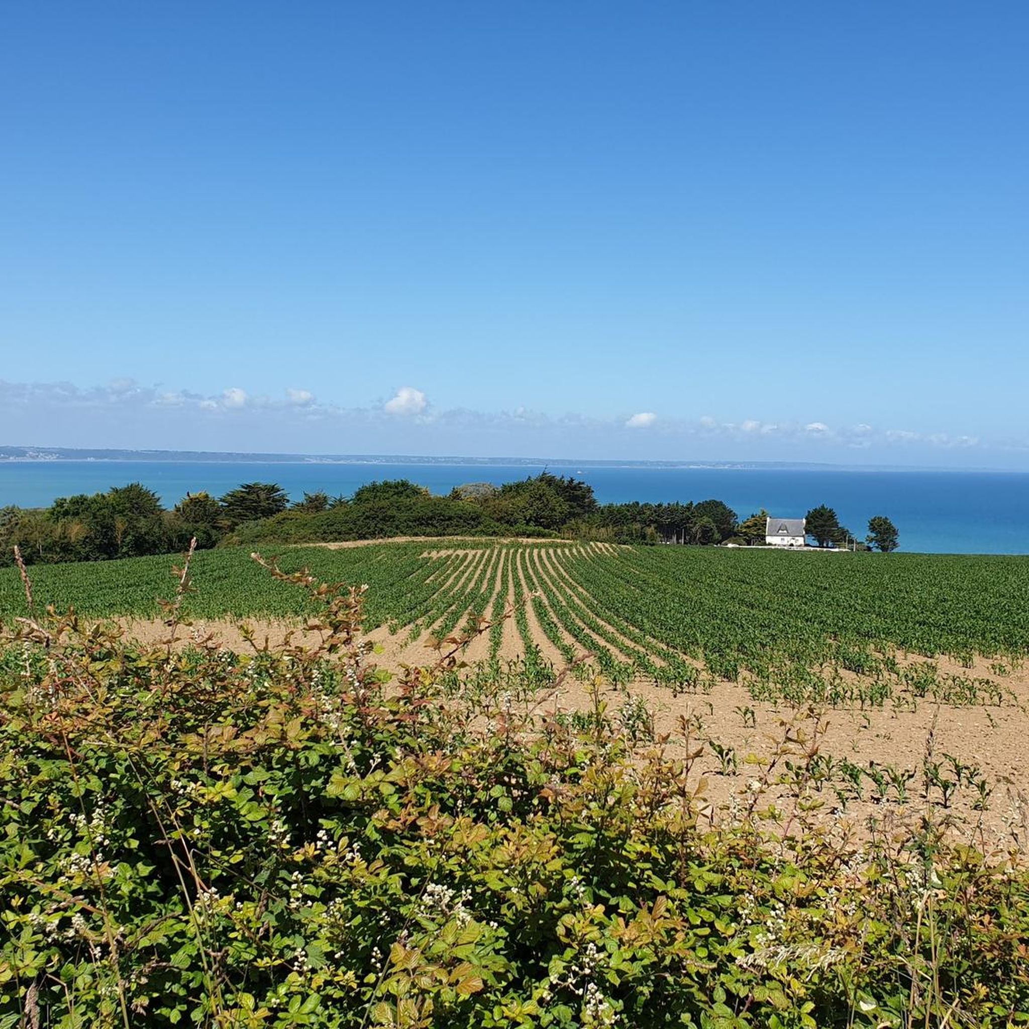
Trébry is a small village nestled in a rolling, green landscape. It is best known for Mount Bel-Air, the highest point in the department, and its 360-degree panorama.
0
0
Perched atop Mount Bel-Air, the highest point in the Côtes-d'Armor region, the Notre-Dame du Mont-Carmel chapel watches over the valley. Its octagonal architecture and radiating aisles make it a unique place. The view from the summit alone is worth the climb.
2
0

The climb to Mont Bel Air is not excessively difficult from Saint Gouéno and is done in stages, it is more distinguished by its length.
2
0

Mont Bel-Air is the highest point in the French department of Côtes-d'Armor, at 339 meters above sea level, in the commune of Trébry. At the top of Mont Bel-Air is the Notre-Dame du Mont-Carmel (or Notre-Dame de Bel-Air).
1
0


It stings your legs! but very nice descent going towards Lamballe
0
0

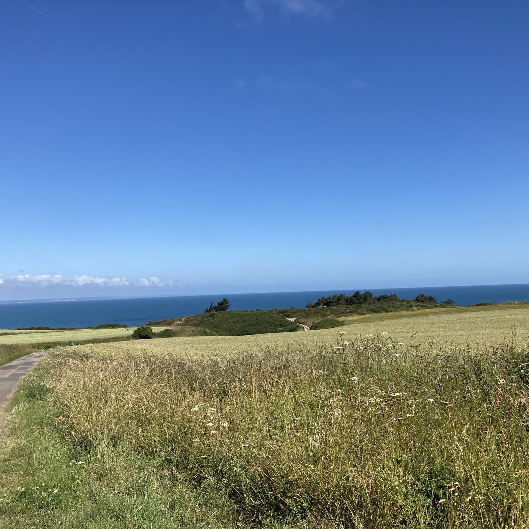
Highest point of the Côtes d'Armor. Small chapel at the top. Accessible by road or via paths. Nice view when the weather is clear.
0
0
Frequently Asked Questions
What types of landscapes can I expect to see while hiking around Penguily?
Hiking around Penguily offers a diverse range of landscapes, primarily characterized by wooded valleys and scenic river paths. You'll find trails following the Lié, Quiloury, and Gouessant rivers, providing picturesque routes. The region also features significant natural landmarks like the Roche au Cerf, a millennium-old ford, and varied terrain including hills such as Mount Bel-Air, the highest point in Côtes-d'Armor.
Are there many easy hiking trails suitable for beginners in the Penguily area?
Yes, Penguily offers a good selection of easy hiking trails. Out of the 57 routes available, 31 are classified as easy, making them perfect for beginners or those seeking a relaxed walk. An example of an easy route is the Étang du Moulin Rault loop from Saint-Trimoël, which is about 7.3 km long.
What historical sites or landmarks can I discover on hikes near Penguily?
Many trails in the Penguily area weave through landscapes rich in history. You can discover historical points of interest such as the château and moulin des Essarts. Other routes in the vicinity feature local heritage vestiges, including old mills, bread ovens, and lavoirs (communal wash houses). Notable attractions include the Collégiale Notre-Dame de Lamballe and the Chapelle Notre-Dame du Mont-Carmel.
Are there any circular walks available around Penguily?
Yes, the Penguily area features several excellent circular walks. These routes allow you to start and end at the same point, offering convenience. An example is the Trébry – Mount Bel-Air loop from Trébry, which is a moderate 12.5 km path, or the easier Chaise à Margot loop from Meslin.
What do other hikers say about the trails in Penguily?
The hiking trails in Penguily are highly regarded by the komoot community, holding an impressive average rating of 4.5 out of 5 stars from over 80 reviews. Hikers often praise the varied terrain, the peaceful wooded valleys, and the well-maintained paths that make exploring the region a pleasure.
Are there any trails that lead to viewpoints or high points in the region?
Yes, several trails offer opportunities to reach higher elevations and enjoy panoramic views. The region includes hills like Mount Bel-Air, which at 339 meters, is the highest point in Côtes-d'Armor. The route Trébry, on the highest point of Côtes d'Armor specifically explores this elevated area.
Can I find trails that follow rivers or feature water elements?
Absolutely. Penguily is situated near several scenic river valleys, including the Lié, the Quiloury, and the Gouessant. Many hiking trails are designed to follow these rivers, offering tranquil waterside walks. Some routes in the broader Côtes-d'Armor region even feature striking rock formations and small waterfalls, adding to the scenic beauty.
How long do the hiking trails around Penguily typically take to complete?
The duration of hikes around Penguily varies depending on the trail's length and difficulty. Easy routes, like the Étang du Moulin Rault loop (7.3 km), can be completed in under 2 hours. Moderate trails, such as Trébry, on the highest point of Côtes d'Armor (14.9 km), typically take around 4 hours.
What is the best season for hiking in Penguily?
The Côtes-d'Armor region, where Penguily is located, offers pleasant hiking conditions through much of the year. Spring and autumn provide mild temperatures and beautiful scenery with blooming flowers or vibrant fall foliage. Summer is also popular, though it can be warmer, making shaded valley routes particularly appealing. Winter hikes are possible, but trails might be wet or muddy.
Are there any specific natural features or unique geological formations to look out for?
Yes, the region boasts interesting natural features. The Gouessant river valley is a prominent feature, and the Roche au Cerf, a millennium-old ford, is a significant natural attraction near Penguily. Some trails in the wider area also lead through wooded valleys featuring striking rock chaos.
Are there any trails that are particularly good for families with children?
While specific 'family-friendly' designations aren't always explicit, the abundance of easy and moderate trails in Penguily makes many routes suitable for families. Look for shorter, less challenging circular walks, especially those that pass by historical sites or along riverbanks, which can keep younger hikers engaged. The Étang du Moulin Rault loop is an easy option that could be suitable.
Is there public transport available to reach hiking trailheads around Penguily?
While Penguily is a rural commune, public transport options might be limited directly to all trailheads. It's advisable to check local bus schedules or consider driving to the starting points of your chosen hikes. Many routes, especially circular ones, often have designated parking areas near their beginning.
Most popular attractions around Penguily

Get inspired with the komoot mobile app


Explore more
Browse the best Hikes in other regions.
