The best walks and hikes around Gambsheim
4.5
(1148)
4,910
hikers
326
hikes
Hiking around Gambsheim offers diverse landscapes, characterized by its position along the Rhine River, providing scenic riverside paths. The region features significant forest massifs, including the La Robertsau and Rhine forests, which are part of protected biotopes. Wetlands along meandering streams add to the natural appeal, offering varied environments for outdoor exploration.
Best hiking trails around Gambsheim
- The most popular hiking route is Marina Rheinauewald Diersheim – Rheinauewald Diersheim loop from Freistett, a 5.7 miles (9.2 km) trail that…
Last updated: September 28, 2026
4.7
(16)
70
hikers
Moderate hike. Good fitness required. Easily-accessible paths. Suitable for all skill levels.
4.8
(42)
87
hikers
5.73km
01:27
10m
10m
Easy hike. Great for any fitness level. Easily-accessible paths. Suitable for all skill levels.

4.8
(12)
69
hikers
Moderate hike. Good fitness required. Easily-accessible paths. Suitable for all skill levels.
4.8
(26)
49
hikers
Easy hike. Great for any fitness level. Easily-accessible paths. Suitable for all skill levels.
4.7
(15)
40
hikers
10.2km
02:34
10m
10m
Moderate hike. Good fitness required. Easily-accessible paths. Suitable for all skill levels.
Get access to more routes and recommendations from other explorers.
Already have an account?
Our route recommendations are based on thousands of hikes, rides, and runs completed by other people on komoot.
Start today with a free account
Your next adventure awaits.
Tips from the Community

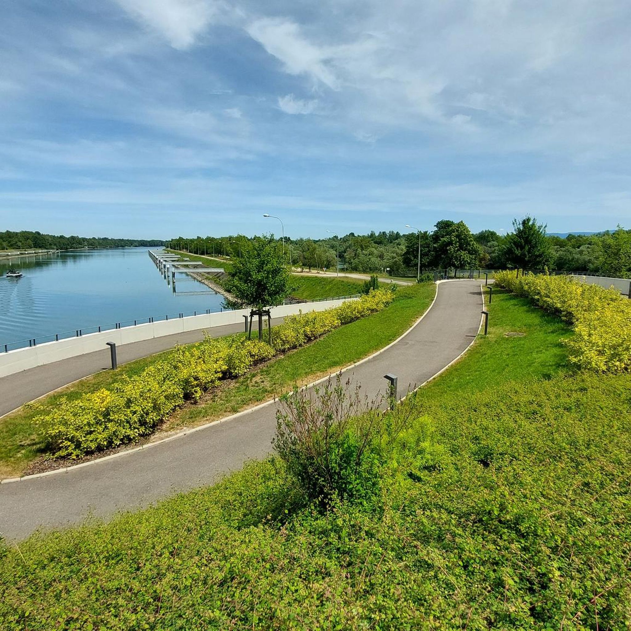
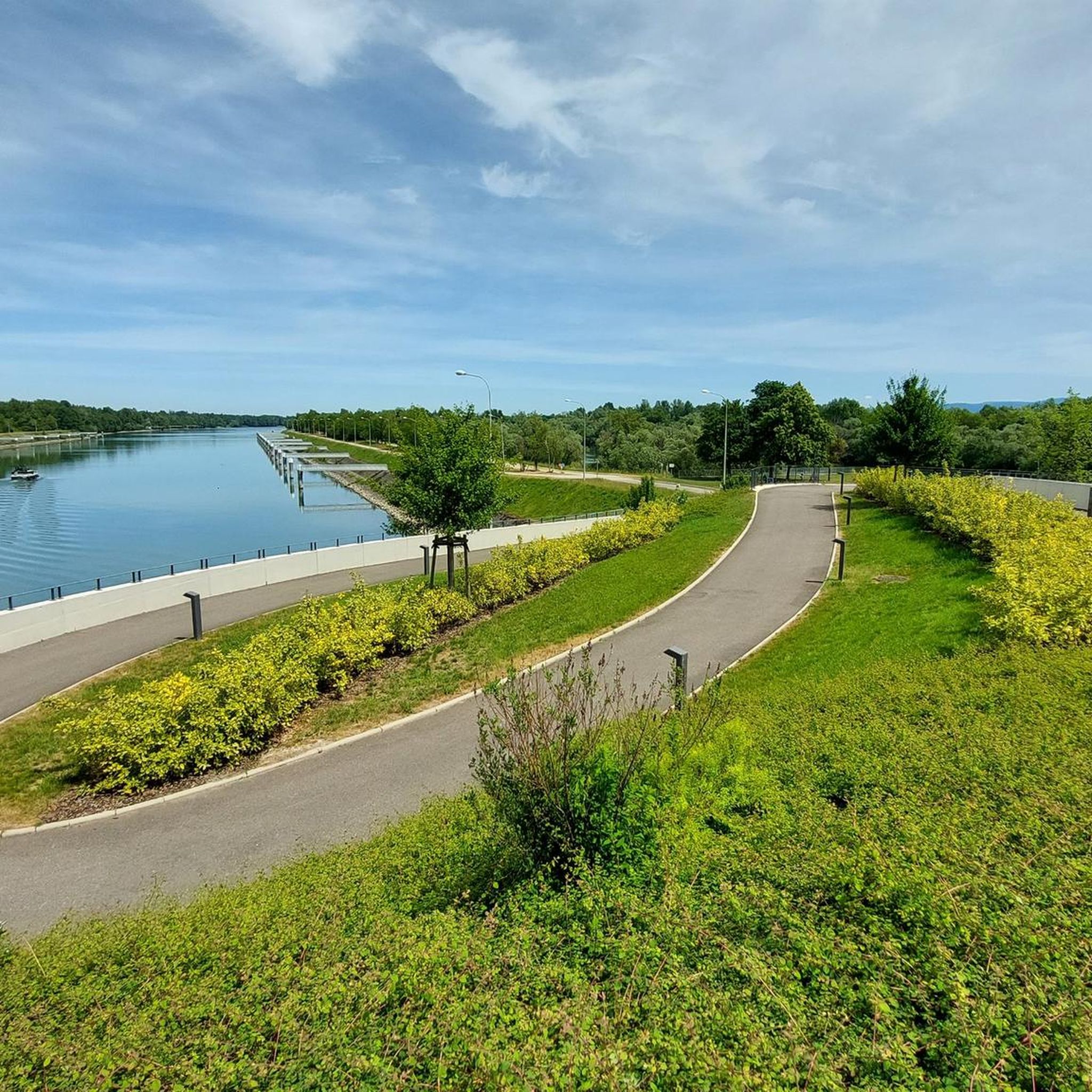
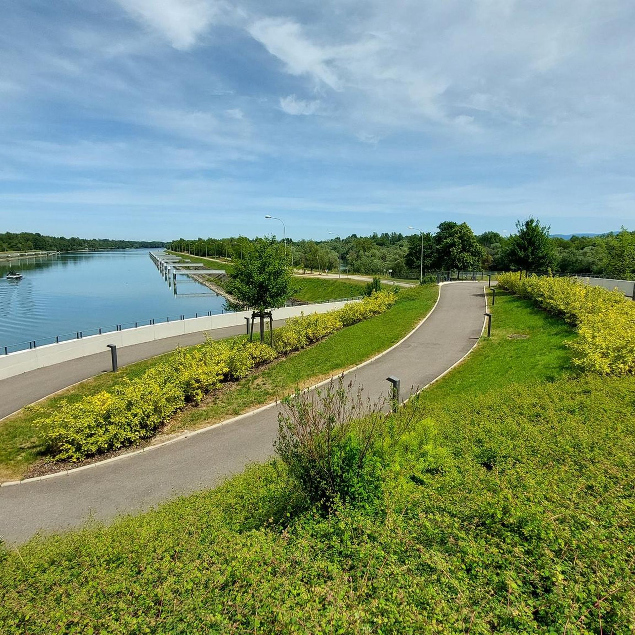
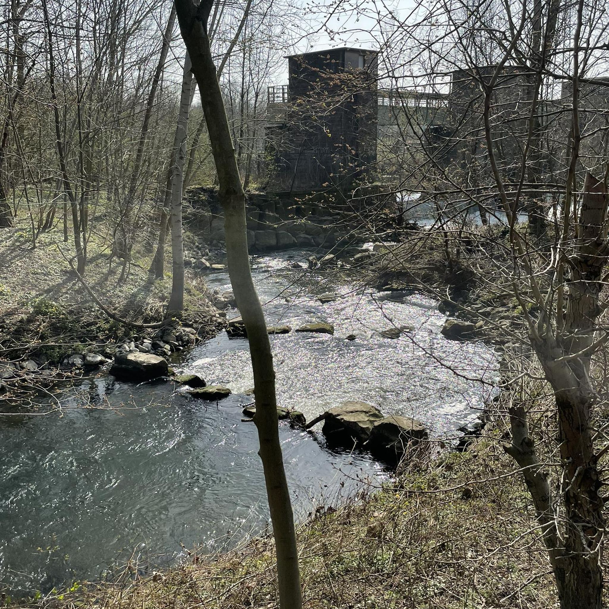
Flood protection can be found in various places here.
0
0

The Dreimarker is a boundary stone marking the confluence of the Diersheim, Freistett, and Rheinbischofsheim districts. It was restored and reopened to the public in 2022.
1
0
It's always nice to walk or cycle along the Rhine.
1
0

It feels a bit like a holiday. I really enjoyed the route.
2
0

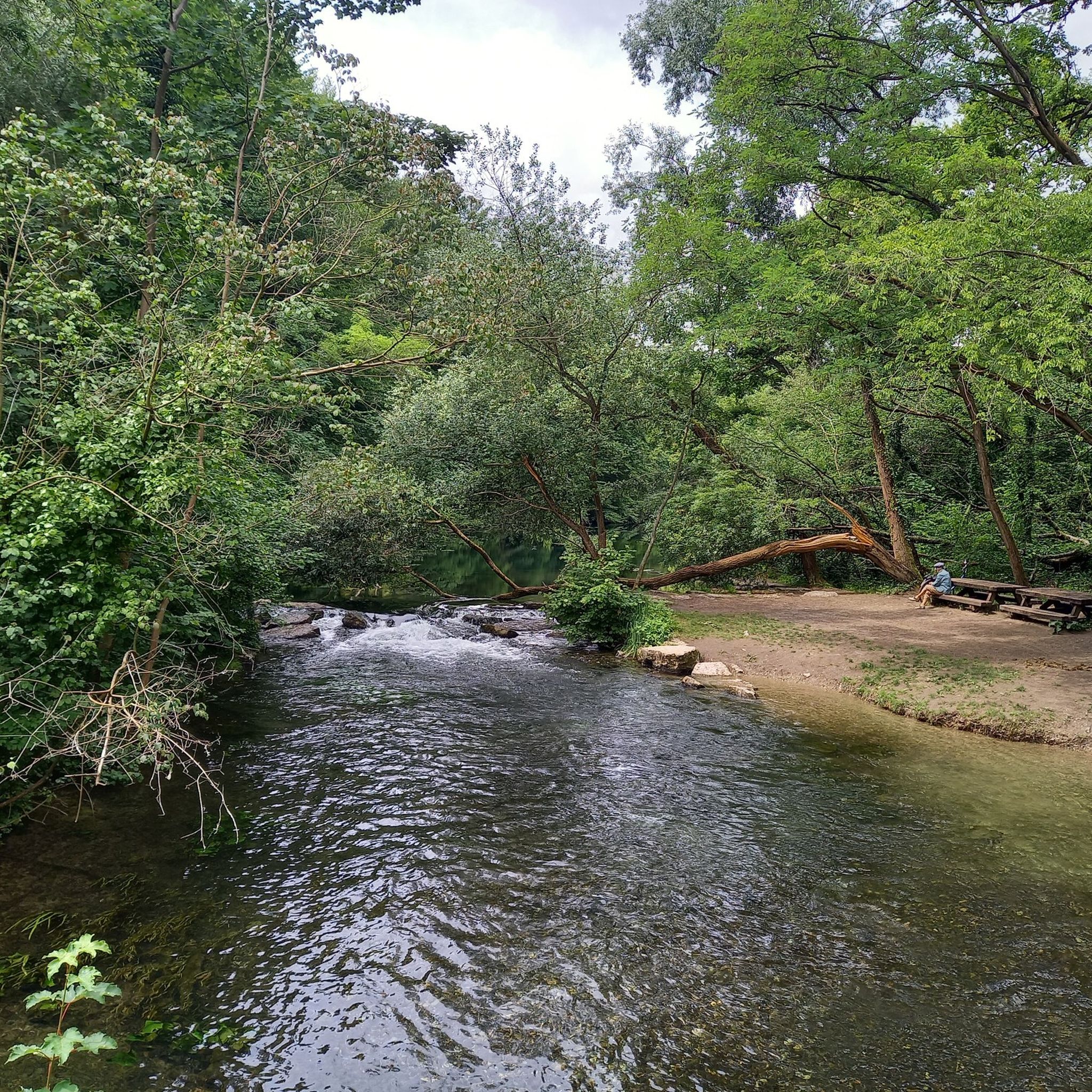
On this path, you actually feel a bit like you're in the jungle. But don't worry, the path is easy to ride on a bike.
2
0

Beautiful, narrow and idyllic forest path. Surrounded by pure nature.....🌿🍁🍂
0
0

absolutely beautiful here. The path is super easy and smooth to drive.
3
0

Fantastically beautiful in the Rheinauen. Quiet and pure nature. A pleasure!
0
0
Frequently Asked Questions
How many hiking trails are available around Gambsheim?
Gambsheim boasts an extensive network of over 300 hiking trails. This includes more than 220 easy routes, over 100 moderate options, and a few challenging trails, ensuring there's something for every skill level.
Are there easy hiking trails suitable for beginners or families in Gambsheim?
Yes, Gambsheim offers over 220 easy hiking trails, perfect for beginners or families. Many paths wind through the Rhine forests and along the riverbanks, providing gentle terrain. A pleasant option is the Groschenwasser – Groschenwasser loop from Freistett, an easy 5.7 km path through natural surroundings.
Are there any circular hiking routes in Gambsheim?
Yes, many of the trails around Gambsheim are circular, allowing you to start and end at the same point. For example, the Marina Rheinauewald Diersheim – Rheinauewald Diersheim loop from Freistett is a popular moderate 9.2 km route exploring the riverside forests.
What kind of landscapes can I expect to see while hiking in Gambsheim?
Gambsheim's hiking trails offer diverse landscapes. You'll find scenic riverside paths along the Rhine, lush forest massifs like the La Robertsau and Rhine forests, and tranquil wetlands with meandering streams. These protected biotopes showcase rich flora and fauna, providing a wild and preserved natural environment.
Are there any waterfalls to see on the hiking trails near Gambsheim?
Yes, the Kalbsgiessen Waterfall is a small, pretty waterfall highlighted as a perfect spot for a break during a hike. It's known for its consistently clear water and is a notable natural feature in the area.
What historical sites or landmarks can I discover while hiking in Gambsheim?
Hiking routes in Gambsheim can reveal interesting historical elements. You might encounter old bunkers and fortifications built by Vauban in the 17th century. Additionally, the Bac Drusus Ferry, connecting Drusenheim to Greffern, is a historical attraction in service since the 19th century, offering a unique crossing point on the Rhine.
What do other hikers enjoy most about hiking in Gambsheim?
The hiking experience in Gambsheim is highly rated by the komoot community, with an average score of 4.5 stars from over 1000 reviews. Hikers often praise the diverse landscapes, including the serene riverside paths and the peaceful forest massifs, as well as the well-maintained network of trails that cater to various preferences.
Are there any specific trails that offer good opportunities for bird watching?
Yes, the region's wetlands, particularly along the Sentier des Potiers (Potters' Trail), feature meandering streams and provide excellent opportunities for bird observation, adding a unique natural appeal for walkers.
Can I combine hiking with other outdoor activities in Gambsheim?
Absolutely. Gambsheim features a swimming lake with supervised swimming during summer months, as well as facilities for fishing, basketball, volleyball, and table tennis. You can easily combine a hike with a refreshing dip or other recreational activities. For more details, you can check the Gambsheim swimming lake information.
Are there any botanical paths or nature trails to learn about local plant life?
Yes, Gambsheim offers a dedicated botanical path, often integrated with health courses. This 4 km route allows visitors to learn about local plant life through illustrative panels, providing an educational and immersive nature experience. You can find more information about the health course here.
What are some notable natural features or attractions near the hiking routes?
Beyond the Kalbsgiessen Waterfall, you can explore the Rhine Cycle Route which runs through the area, offering extensive exploration opportunities. The Forest cycle path in the La Robertsau forest massif is also a beautiful area to discover, showcasing the region's diverse natural beauty.
Are there any long-distance hiking opportunities or connections to larger trail networks?
While Gambsheim offers many local trails, its location on the Rhine means it's part of larger networks. The EuroVelo 15, a significant cycling route, passes through this area, offering extensive exploration opportunities along the river, which can be adapted for longer walking sections.
Most popular routes around Gambsheim
Most popular attractions around Gambsheim

Get inspired with the komoot mobile app


Explore more
Browse the best Hikes in other regions.
