The best cycling routes around Ternuay-Melay-Et-Saint-Hilaire
4.4
(276)
6,263
riders
165
rides
Touring cycling routes around Ternuay-Melay-Et-Saint-Hilaire traverse the unique landscapes of the Plateau des Mille Étangs, characterized by a mosaic of ponds, forests, and meadows. The region is situated at the foothills of the Vosges mountains, offering varied terrain from gentle greenways to challenging climbs. Cyclists can explore river valleys, including the Ognon, and experience the diverse natural heritage of this area. The network includes routes built on former railway lines and towpaths, providing accessible paths for different skill levels.
Best…
Last updated: October 8, 2026
4.0
(2)
29
riders
38.6km
03:08
490m
490m
Hard bike ride. Very good fitness required. You may need to push your bike for some segments of this route.
5.0
(3)
9
riders
14.0km
00:56
210m
210m
Moderate bike ride. Good fitness required. Mostly paved surfaces. Suitable for all skill levels.

5.0
(1)
8
riders
17.7km
01:11
270m
270m
Moderate bike ride. Good fitness required. Mostly paved surfaces. Suitable for all skill levels.
5.0
(1)
13
riders
37.7km
02:42
780m
780m
Hard bike ride. Very good fitness required. Mostly paved surfaces. Suitable for all skill levels.
5.0
(1)
8
riders
20.8km
01:21
270m
270m
Moderate bike ride. Good fitness required. Mostly paved surfaces. Suitable for all skill levels.
Get access to more routes and recommendations from other explorers.
Already have an account?
Our route recommendations are based on thousands of hikes, rides, and runs completed by other people on komoot.
Start today with a free account
Your next adventure awaits.
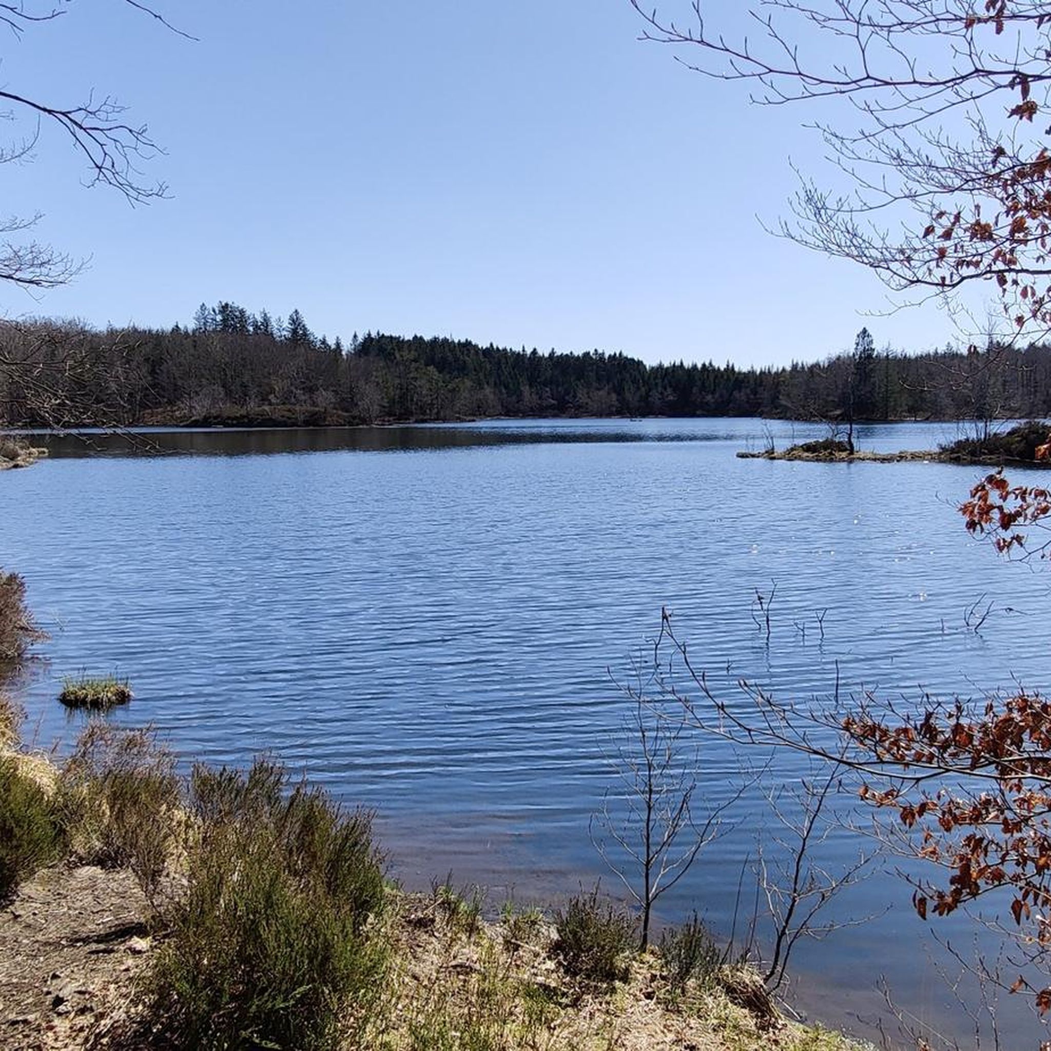
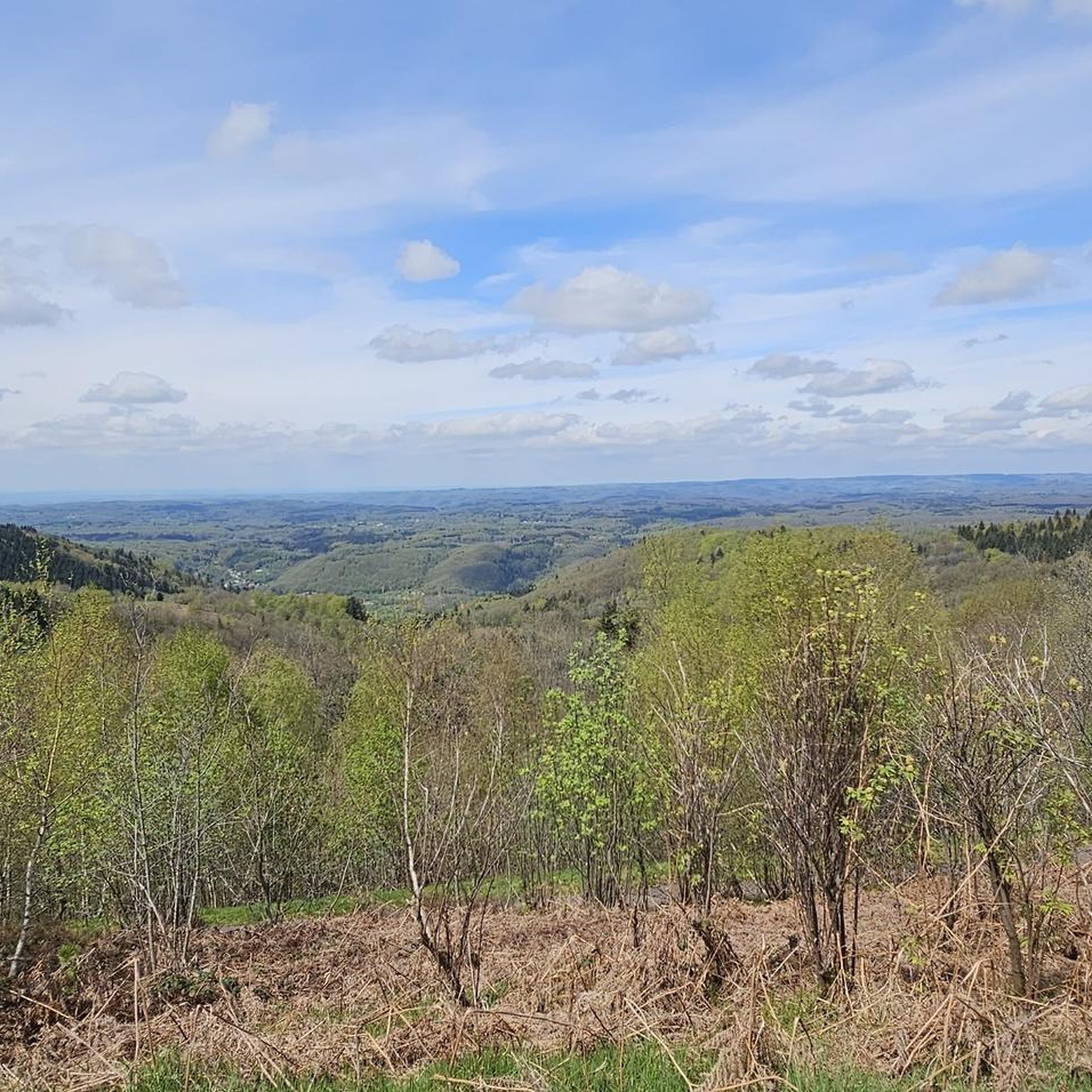
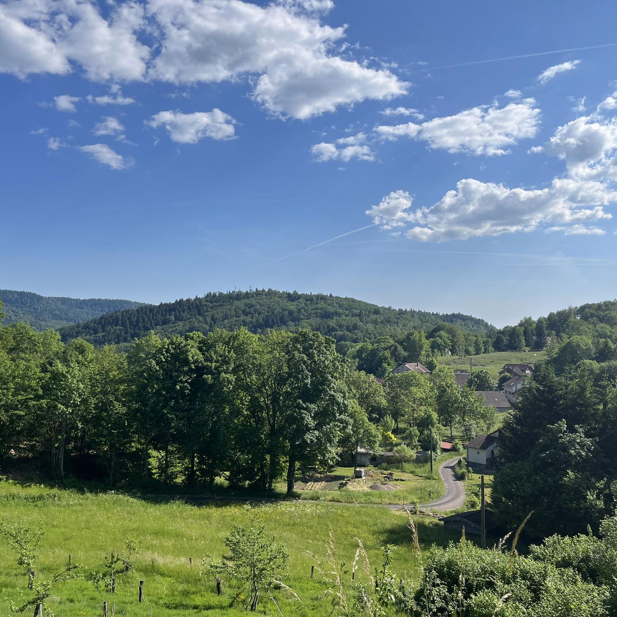
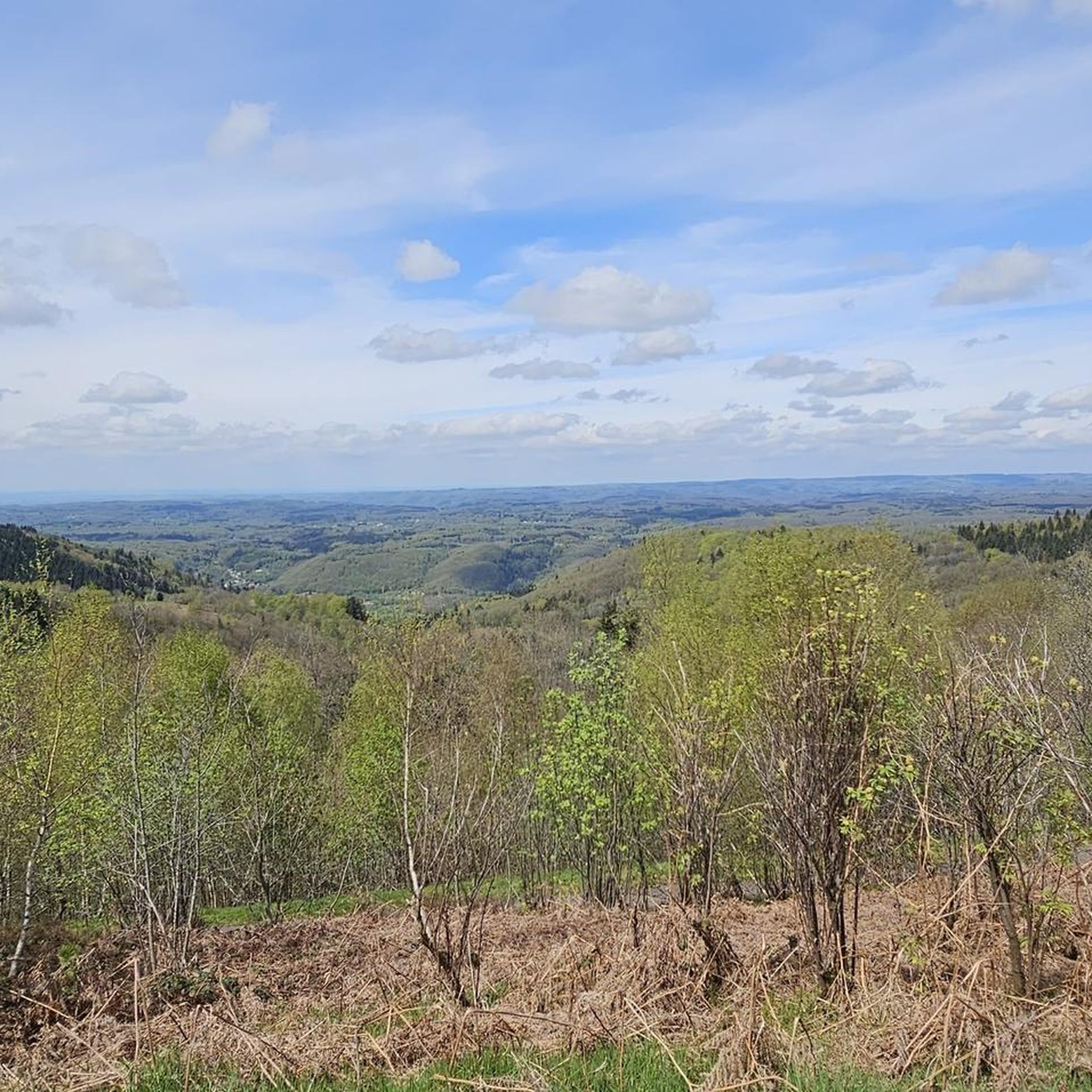

Tips from the Community

De Col des Croix is a 679-meter-high mountain pass in the French Vogezen massif, located on the border of the Vosges and Haute-Saône departments. The pass forms an accessible connecting road (the D486) between the northern Le Thillot and the southern Servance. At the top, you will find the well-known Le Chalet Snack du Col des Croix, and the road splits towards the D16 (Route des Forts), the route that continues to the higher Ballon de Servance.
6
0
The descent from the Ballon de Servance to the Col des Croix is a technical and quiet route of 10.1 kilometers along the Route des Forts (D16). During this ride, you descend 478 meters with an average gradient of 4.7%. I found it a nice descent.
7
0
The end of the climb is somewhat disappointing. There is nothing marked. No photo opportunity. You have a small parking lot, a closed military road, and a picnic spot well hidden under the trees. At the two yellow signs (mainly for hikers) there is the only indication that you are at the Ballon de Servance and at 1158 m. The climb is "cozy". No cars, completely shaded, a few kilometer markers.
7
0

A small pass after the Ballon de Severance. Refreshment stand with a view.
3
0


The view over the wonderfully green pastures is beautiful!
3
0
A beautiful, shady section with no noticeable incline, always along the Le Beuletin river.
4
0
The country roads here are narrow and there is little car traffic, so they are good for relaxed cycling.
5
0
Frequently Asked Questions
How many touring cycling routes are available in Ternuay-Melay-Et-Saint-Hilaire?
There are over 160 touring cycling routes around Ternuay-Melay-Et-Saint-Hilaire, offering a wide range of options for different skill levels and preferences. These routes traverse the unique landscapes of the Plateau des Mille Étangs and the foothills of the Vosges mountains.
What makes touring cycling in Ternuay-Melay-Et-Saint-Hilaire unique?
The region is often called 'Little Finland' due to its unique glacial landscape, the Plateau des Mille Étangs, which features a mosaic of ponds, forests, and meadows. Cyclists can enjoy routes along former railway lines and towpaths, as well as challenging ascents in the Vosges mountains, including the famous La Planche des Belles Filles.
Are there easy touring cycling routes suitable for beginners or families?
Yes, the area offers over 25 easy touring cycling routes. Many greenways, built on former railway lines and towpaths, provide safe and peaceful rides with low gradients, making them ideal for all ages and fitness levels. The Miellin – Chevrères Pass loop from Le Droit de la Grève is a moderate option that offers a taste of the region without extreme difficulty.
Are there challenging routes for experienced touring cyclists?
Absolutely. The region is known for its challenging climbs in the Vosges mountains. Routes like the Chevestraye Pass – La Planche des Belles Filles loop from Fresse include the iconic ascent to La Planche des Belles Filles, famous for its steep gradients. Another difficult option is the Pellevin Pond – Mont de Fourche Pass loop from Écromagny, which leads through the Vosges mountains foothills.
Are there circular touring cycling routes in the area?
Yes, many routes in Ternuay-Melay-Et-Saint-Hilaire are designed as loops. For example, the Pellevin Pond – La Mer loop from Écromagny is a popular circular route that takes you through varied terrain. The region also features 21 signposted cycle loops across Haute-Saône, offering diverse experiences.
What natural attractions can I see along the touring cycling routes?
You can explore the unique landscape of the Plateau des Mille Étangs with its numerous ponds, such as Étang de la Peau and Étang de la Mer. The area is also home to the River Ognon and the notable Saut de l'Ognon waterfall. For mountain views, you can encounter passes like Mont de Fourche Pass and Chevrères Pass, and even the summit of Ballon de Servance.
Can I explore the 'Plateau des Mille Étangs' by touring bike?
Yes, the 'Échappée des 1000 Étangs' is a dedicated itinerary designed for exploring this unique natural heritage by bike. It offers an immersive experience with 'landscape breaks' at key points to appreciate the history, fauna, flora, and human impact on the area. The region's network of cycle routes covers much of this fascinating landscape.
Are there any specific cycling paths or greenways I should know about?
The Haute-Saône department boasts a vast network of greenways, often built on former railway lines or towpaths. Notable routes include sections of the Voie Bleue, which runs from Luxembourg to Lyon, and the Courlis trail, a greenway linking Port-sur-Saône to Vesoul. These paths offer safe and scenic cycling experiences.
What is the best time of year for touring cycling in this region?
The region is generally pleasant for cycling from spring through autumn. Summer offers warm weather for exploring the ponds and forests, while spring and autumn provide cooler temperatures and beautiful scenery, especially with changing foliage. Always check local weather conditions before your ride.
What do other cyclists say about the routes in Ternuay-Melay-Et-Saint-Hilaire?
The touring cycling routes in Ternuay-Melay-Et-Saint-Hilaire are highly rated by the komoot community, with an average score of 4.6 stars from over 200 reviews. Cyclists often praise the varied terrain, from tranquil waterside paths in the Plateau des Mille Étangs to the challenging climbs in the Vosges mountains, and the well-maintained network of cycle-friendly paths.
Is there parking available near the touring cycling routes?
While specific parking locations for every route are not detailed, the region is well-equipped for visitors. The Office de Tourisme des 1000 Étangs, located in nearby Mélisey and Faucogney, provides tourist information and typically offers guidance on local amenities, which often include parking facilities near popular starting points for routes. Many towns and villages along the routes will have public parking.
Are the touring cycling routes in Ternuay-Melay-Et-Saint-Hilaire accessible by public transport?
The Haute-Saône region has a network of cycle routes that connect various towns. While direct public transport access to every single trail might be limited, major towns like Vesoul, which is connected to the wider network, can serve as access points. For detailed information on public transport options and connections to specific routes, it's advisable to consult local transport authorities or the Haute-Saône Tourisme website.
Most popular routes around Ternuay-Melay-Et-Saint-Hilaire
Most popular attractions around Ternuay-Melay-Et-Saint-Hilaire

Get inspired with the komoot mobile app


Explore more
Browse the best Cycling routes in other regions.
