The best walks and hikes around Balzheim
4.5
(1641)
7,926
hikers
696
hikes
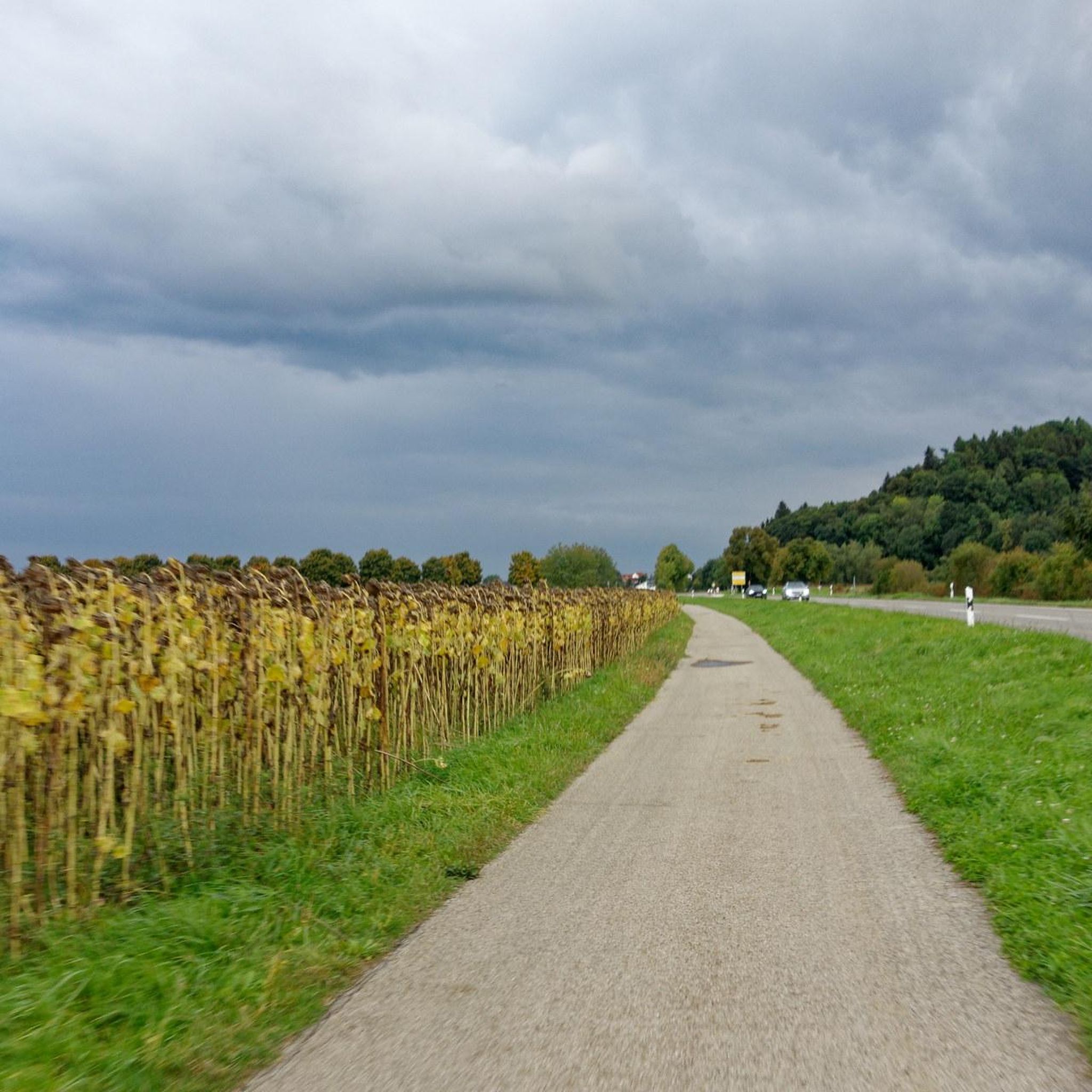
Hiking around Balzheim offers diverse terrain situated on the banks of the Danube and Iller rivers. The region is characterized by rolling hills and expansive green meadows, providing a scenic backdrop for various trails. This landscape includes riverine paths and gentle elevations, making it suitable for different hiking preferences. The area's natural features contribute to a varied outdoor experience.
Best hiking trails around Balzheim
- The most popular hiking route is Iller Dam Waterfall – The Iller River near Illertissen loop…
Last updated: July 1, 2026
5.0
(3)
28
hikers
Moderate hike. Good fitness required. Easily-accessible paths. Suitable for all skill levels.
5.0
(1)
13
hikers
8.17km
02:04
10m
10m
Moderate hike. Good fitness required. Easily-accessible paths. Suitable for all skill levels.

Sign up for free
11
hikers
6.64km
01:41
10m
10m
Easy hike. Great for any fitness level. Easily-accessible paths. Suitable for all skill levels.
5.0
(2)
11
hikers
6.89km
01:45
10m
10m
Easy hike. Great for any fitness level. Easily-accessible paths. Suitable for all skill levels.
5.0
(2)
11
hikers
4.51km
01:08
10m
10m
Easy hike. Great for any fitness level. Easily-accessible paths. Suitable for all skill levels.
Get access to more routes and recommendations from other explorers.
Sign up for free
Already have an account?
Our route recommendations are based on thousands of hikes, rides, and runs completed by other people on komoot.
Start today with a free account
Your next adventure awaits.
Login or Signup
Tips from the Community

Here you can cycle nicely without any elevation gain.
0
0


interesting barrages along the Iller.
0
0

Cool way to walk, then the highlight on the way -> the Iller stage
0
0

Very easy terrain for cycling, wonderful bike path along the Iller.
0
0

I only drove over it here. But the Iller itself is also worth a trip
0
0

Basically nice to drive, but softened after rain and with countless, sometimes very slippery puddles. So watch out and then clean your bike :-)
0
0
Frequently Asked Questions
What kind of landscapes can I expect to see while hiking in Balzheim?
Balzheim is characterized by its picturesque location on the banks of the Danube River, surrounded by rolling hills and lush green meadows. You'll find diverse scenery, from tranquil riverine paths along the Danube and Iller to gentle elevations offering expansive views over the surrounding valley. The region provides a blend of natural beauty and a sense of tranquility.
Are there many hiking trails available in Balzheim?
Yes, Balzheim offers a wide variety of hiking opportunities. There are over 700 routes available, catering to different preferences and ability levels. This includes a significant number of easy trails, making it accessible for many hikers.
What is the best time of year to go hiking in Balzheim?
The best seasons for hiking in Balzheim are spring and autumn. During these months, the landscape transforms with vibrant colors, and the mild climate is ideal for long walks or extended tours, offering a comfortable and visually stunning experience.
Are there any family-friendly hiking trails in Balzheim?
Absolutely! Balzheim offers several routes suitable for families. The region is known for its accessible terrain, and there's even an "Adventure Forest" themed hiking trail specifically designed for children to engage with nature playfully. Many of the easy routes, such as the Hidden Riverbank Trail – Bibersee loop from Rathaus Balzheim, are great options for families.
Can I find circular hiking routes in Balzheim?
Yes, many of the hiking trails in Balzheim are designed as circular routes, allowing you to start and end at the same point. Examples include the moderate Iller Dam Waterfall – The Iller River near Illertissen loop from Altenstadt or the easier Weir at Dietenheim loop from Rathaus Balzheim, which are popular choices among local hikers.
Are there any historical sights or interesting landmarks to see along the trails?
Many hiking routes in Balzheim incorporate cultural and scenic highlights. You can find trails that lead past historical castle ruins or impressive vantage points. For example, you might explore areas near Erolzheim Castle or Wain Castle, adding a layer of historical exploration to your outdoor experience. The Museum Illertissen & Bavarian Bee Museum is also a notable highlight in the vicinity.
What do other hikers say about the trails in Balzheim?
The hiking routes in Balzheim are highly rated by the komoot community, with an average score of 4.5 stars from over 1,500 reviews. Hikers often praise the varied terrain, the beautiful river views, and the well-maintained paths that cater to different skill levels.
Are there any trails that feature water elements like rivers or lakes?
Balzheim's location on the Danube and Iller rivers means many trails offer beautiful water features. You can enjoy routes directly along the flowing water, such as the Bibersee – Iller Dam near Altenstadt loop from Rathaus Balzheim, which features sections along the Iller Dam and near Bibersee, or the Iller Weir – Flooded Bathing Lake loop from Altenstadt.
Is Balzheim a good destination for hikers looking for easy routes?
Yes, Balzheim is an excellent destination for easy hikes. Out of over 700 available routes, more than 470 are classified as easy, making it very accessible for casual walkers, families, or those seeking a relaxed outdoor experience. These trails often follow gentle riverbanks or traverse flat meadows.
How can I find parking for hiking trails in Balzheim?
Many popular trailheads in and around Balzheim, especially those starting from central points like Rathaus Balzheim or near larger towns like Altenstadt, typically offer designated parking areas. It's always a good idea to check the specific tour details on komoot for information on parking availability at the start of your chosen route.
What are the typical distances and difficulties of hikes in Balzheim?
Hikes in Balzheim vary in length and difficulty. You can find shorter, easy walks like the 6.6 km Hidden Riverbank Trail – Bibersee loop, which takes about 1 hour 40 minutes. For a moderate challenge, routes like the 14.3 km Iller Dam Waterfall – The Iller River near Illertissen loop can take around 3 hours 37 minutes. The region offers a good balance of easy and moderate trails, with a few more difficult options for experienced hikers.
Most popular routes around Balzheim
Most popular attractions around Balzheim

Get inspired with the komoot mobile app


Explore more
Browse the best Hikes in other regions.
