The best walks and hikes around Lignorelles
4.6
(99)
543
hikers
70
hikes
Hiking around Lignorelles offers diverse landscapes, primarily characterized by the renowned Chablis vineyards and extensive agricultural territories. The region features a mix of open fields, pastures, and nearly 20% forest cover, providing varied environments for outdoor activities. Trails often traverse the Serein Valley, offering panoramic views and moderate elevation changes.
Best hiking trails in Lignorelles
- The most popular hiking route is Chablis Vineyards Loop, a 9.7 miles (15.6 km) trail that takes 4 hours 21 minutes to complete, offering…
Last updated: August 28, 2026
4.3
(4)
8
hikers
4.84km
01:21
90m
90m
Easy hike. Great for any fitness level. Easily-accessible paths. Suitable for all skill levels.
3.5
(2)
4
hikers
10.9km
02:51
80m
80m
Moderate hike. Good fitness required. Easily-accessible paths. Suitable for all skill levels.

Sign up for free
5.0
(1)
6
hikers
12.1km
03:21
210m
210m
Moderate hike. Good fitness required. Easily-accessible paths. Suitable for all skill levels.
5.0
(1)
3
hikers
1.81km
00:28
10m
10m
Easy hike. Great for any fitness level. Easily-accessible paths. Suitable for all skill levels.
4
hikers
13.1km
03:34
190m
190m
Moderate hike. Good fitness required. Easily-accessible paths. Suitable for all skill levels.
Get access to more routes and recommendations from other explorers.
Sign up for free
Already have an account?
Our route recommendations are based on thousands of hikes, rides, and runs completed by other people on komoot.
Start today with a free account
Your next adventure awaits.
Login or Signup
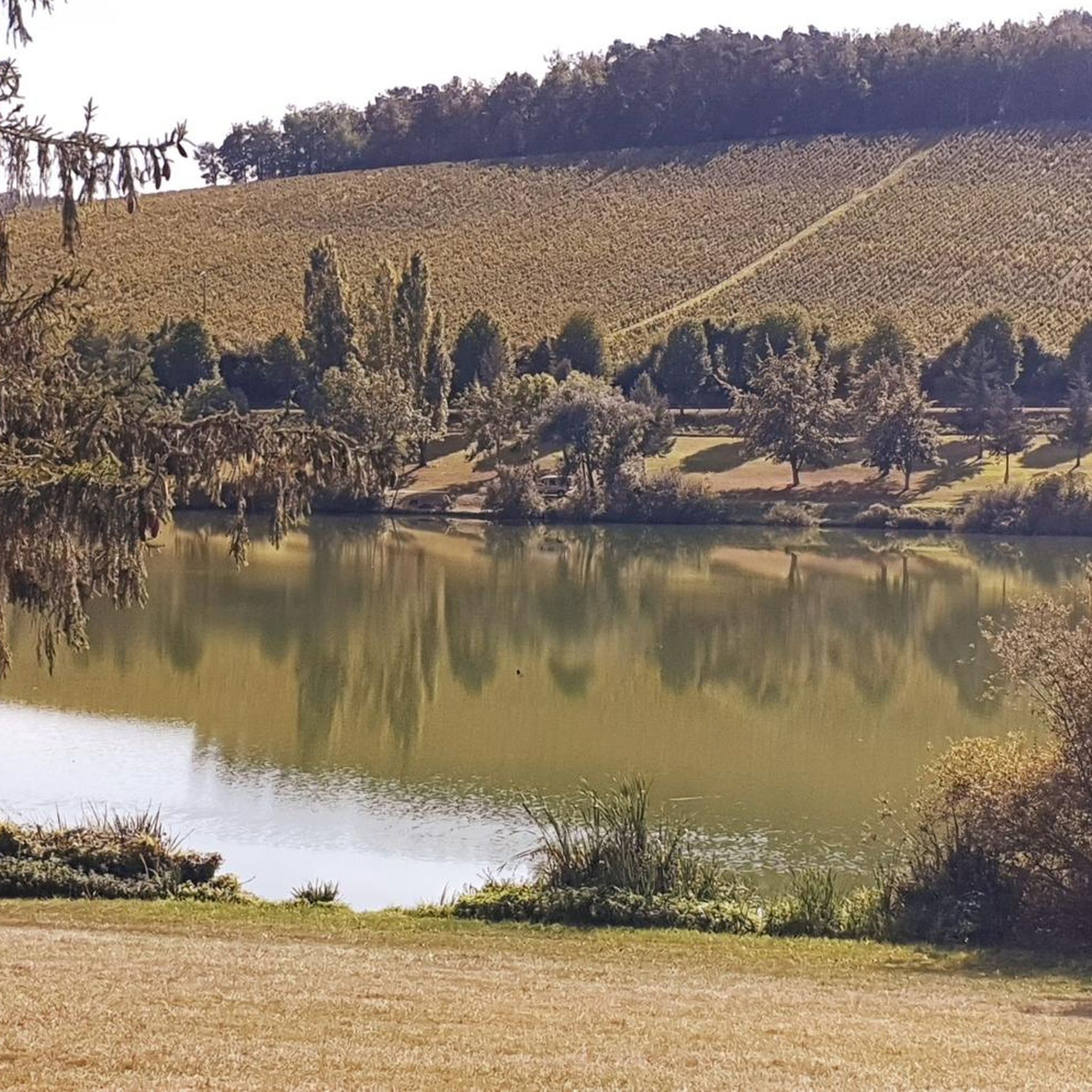
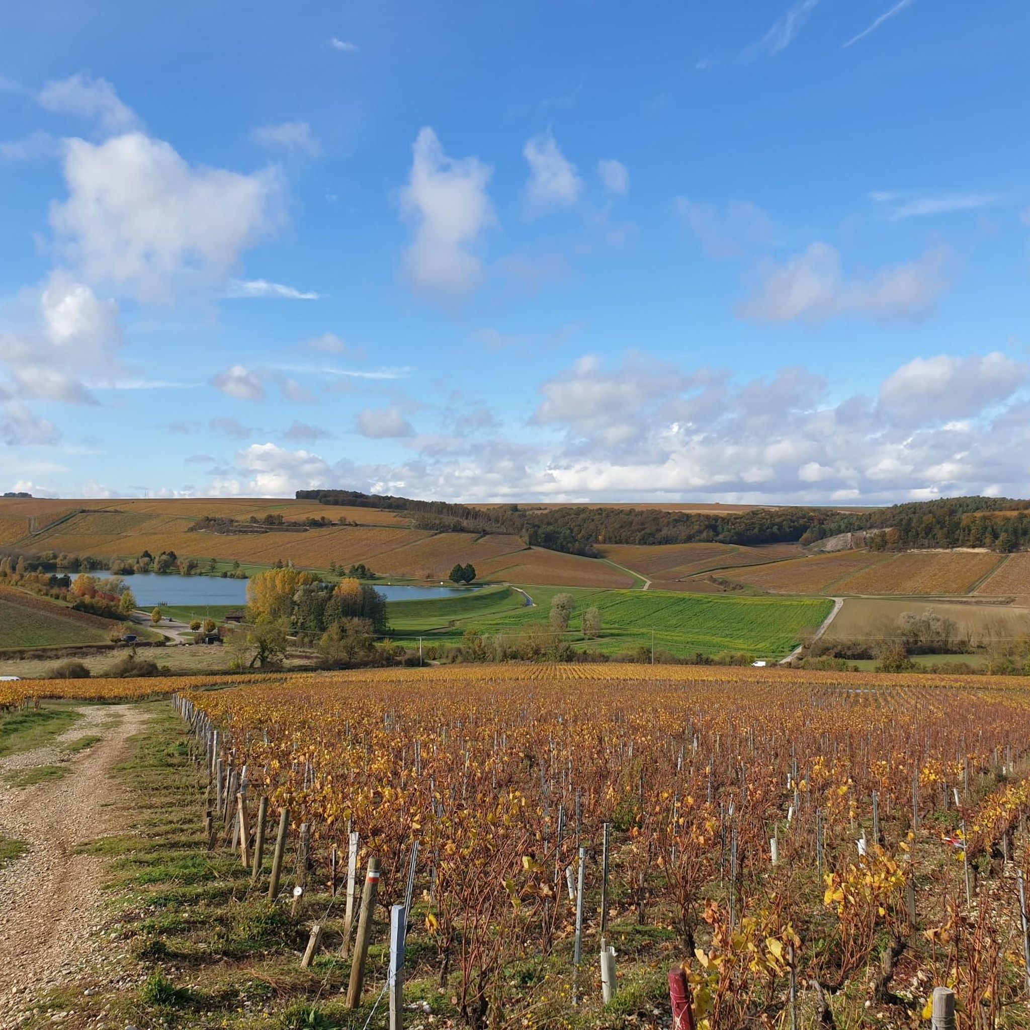
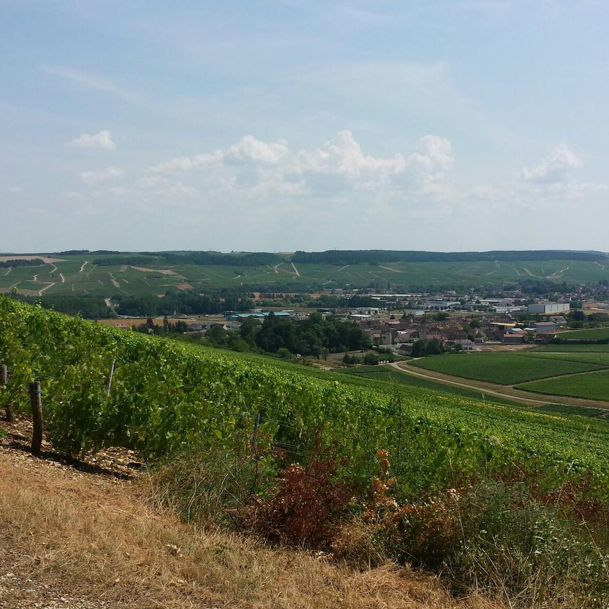
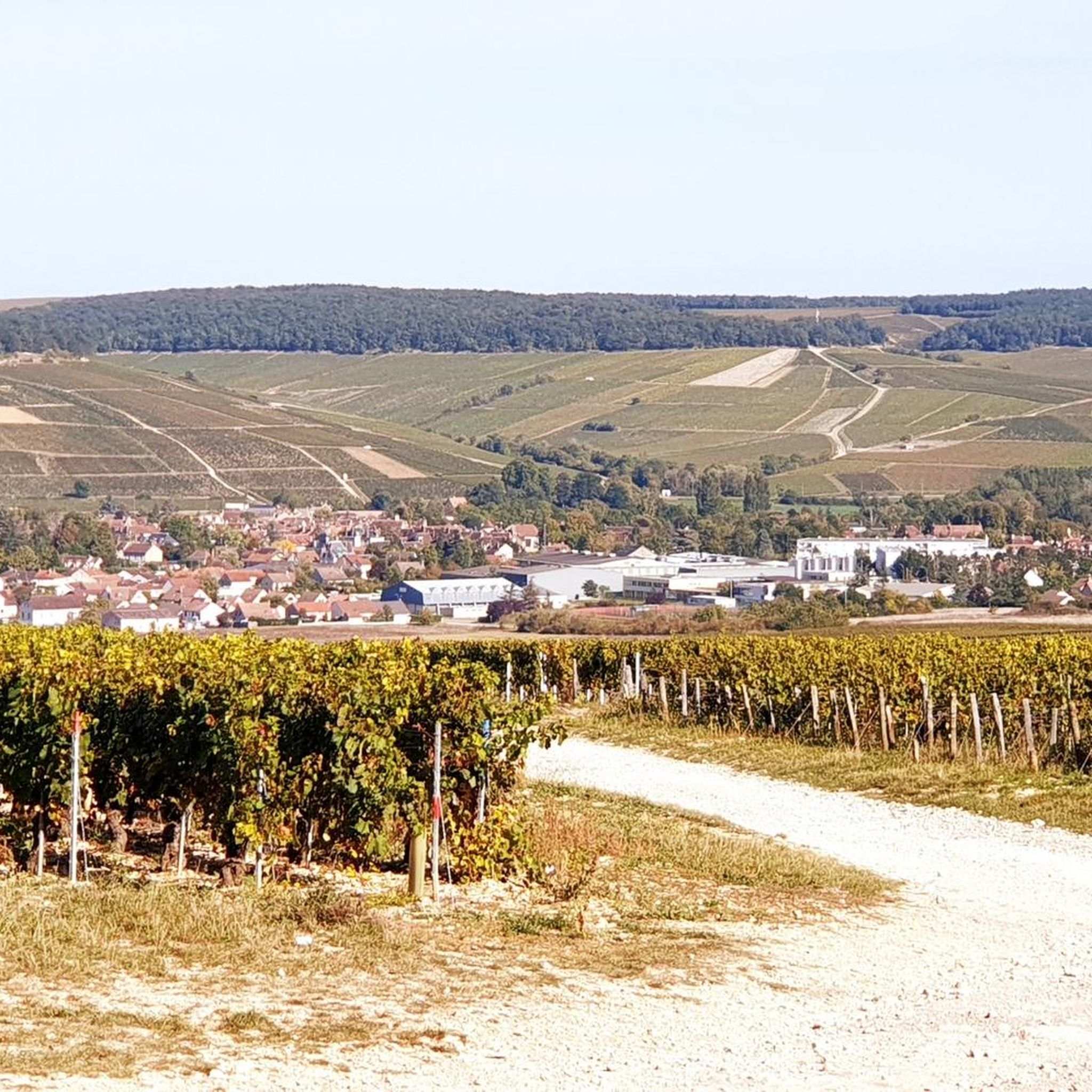
Tips from the Community

Before the 14th century Maligny had a castle surrounded by moats with a chapel. The village is structured around these buildings with the expansion of the city, shops, housing and infrastructure.
0
0


Two picnic tables and several bench seats shaded by trees. That's what you need around here in the summer.
2
0

From here you have a beautiful view of the entire abbey.
1
0

Pontigny Abbey and the dovecote... you never get tired of it!
0
0
Beautiful fall color with the sun ☀️ very low ...
0
0
Frequently Asked Questions
How many hiking trails are available around Lignorelles?
There are over 60 hiking trails in the Lignorelles area, catering to various preferences. You'll find a good mix, with nearly 20 easy routes, around 40 moderate options, and a few more challenging paths for experienced hikers.
What kind of landscapes can I expect to see while hiking near Lignorelles?
Hiking around Lignorelles offers a diverse range of landscapes. You'll primarily traverse the famous Chablis vineyards, with their characteristic granite, schist, limestone, and clay soils. Beyond the vineyards, trails lead through extensive agricultural lands, open fields, and significant forest areas, providing varied scenery. Many paths also offer scenic views as they wind through the Serein Valley.
Are there any family-friendly hiking options in Lignorelles?
Yes, Lignorelles offers several easier loops suitable for families. For instance, the route to Château de l'Ours from Lignerolles is an easier loop that's great for all fitness levels. There are also accessible paths like the 'Suspension bridge over the Cher River' loops, which are suitable for all skill levels and typically take up to two hours.
What do other hikers enjoy most about the trails in Lignorelles?
The hiking trails around Lignorelles are highly rated by the komoot community, with an average score of 4.6 stars. Hikers often praise the panoramic views over the Chablis vineyards, the peaceful blend of woodlands and valleys, and the well-maintained paths that make exploration enjoyable.
Are there any circular walks available near Lignorelles?
Yes, many of the trails around Lignorelles are circular, offering convenient starting and ending points. A popular option is the "Chablis Vineyards Loop", a 15.6 km trail that provides extensive views of the renowned vineyards. Another great choice is the "Old Mill of Chablis – Chablis Old Town loop from Chablis", which is 8.3 km long and explores the historic town and its surroundings.
Can I bring my dog on the hiking trails in Lignorelles?
While specific restrictions can vary by trail, generally, the natural landscapes around Lignorelles, including vineyards, forests, and agricultural lands, are welcoming to dogs. It's always recommended to keep your dog on a leash, especially near vineyards or livestock, and to check local signage for any specific regulations on individual paths.
What are some interesting places to see or landmarks along the hiking routes?
As you hike, you can explore several interesting landmarks. The Chablis Village and Vineyards themselves are a major highlight. You might also encounter the historic Chablis Old Town, or enjoy the scenic Viewpoint from Chablis. Further afield, you could visit the impressive Pontigny Abbey or the Saint-Martin Collegiate Church.
Are there any easy hikes for beginners around Lignorelles?
Absolutely. Lignorelles offers nearly 20 easy routes perfect for beginners or those looking for a relaxed stroll. The "Old Mill of Chablis – Chablis Old Town loop from Fyé" is a good example, being 5.6 km long and typically completed in about 1 hour 36 minutes, leading through local countryside and the old town.
Is public transport available to access hiking trails near Lignorelles?
Lignorelles is a small commune, and while public transport options might be limited directly to trailheads, the broader Burgundy region is accessible. For specific routes, it's often best to plan your journey by car or check local bus schedules for connections to nearby towns like Chablis, from where many trails originate.
Where can I find parking for hiking trails in Lignorelles?
Parking is generally available in the villages and towns that serve as starting points for the trails, such as Lignorelles itself or nearby Chablis. Look for designated parking areas or public car parks within these communes. Always be mindful of local regulations and private property when parking.
What is the best time of year to hike in Lignorelles?
The best time to hike in Lignorelles is typically from spring through autumn. During these seasons, the weather is generally pleasant, and the vineyards are either budding, lush green, or showcasing beautiful autumnal colors. Summer can be warm, so early morning or late afternoon hikes are recommended. Winter hiking is possible, but some paths might be muddy or slippery, and amenities may be limited.
Most popular attractions around Lignorelles

Get inspired with the komoot mobile app


Explore more
Browse the best Hikes in other regions.
