The best walks and hikes around Villargent
4.2
(62)
307
hikers
40
hikes
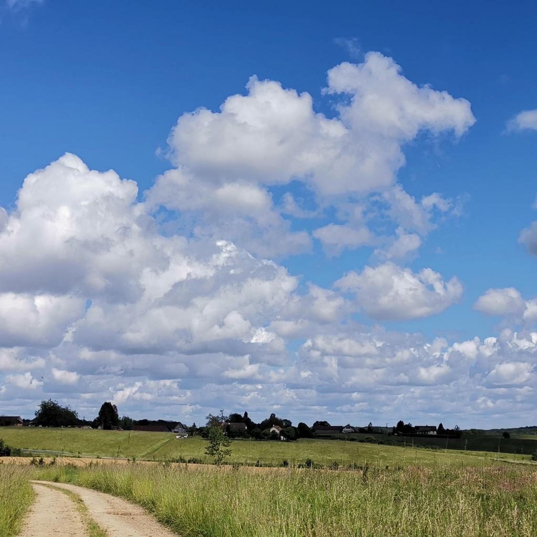
Hiking around Villargent offers access to the varied natural landscapes of the Haute-Saône department within the Burgundy-Franche-Comté region. The terrain is characterized by dense forests, shimmering ponds, and river valleys, providing diverse opportunities for outdoor activities. Hikers can explore areas like the Plateau des Mille Étangs, known for its unique blend of woodlands and water features, or the Southern Vosges with its ancient beech trees and historical paths. The region provides a mix of easy walks and more challenging circuits…
Last updated: July 4, 2026
4.8
(5)
15
hikers
8.03km
01:41
60m
60m
Easy hike. Great for any fitness level. Easily-accessible paths. Suitable for all skill levels.
4.8
(5)
26
hikers
13.4km
03:44
240m
250m
Moderate hike. Good fitness required. Easily-accessible paths. Suitable for all skill levels.

Sign up for free
10
hikers
14.9km
04:16
360m
360m
Moderate hike. Good fitness required. Easily-accessible paths. Suitable for all skill levels.
5.0
(2)
8
hikers
Easy hike. Great for any fitness level. Easily-accessible paths. Suitable for all skill levels.
5.0
(1)
4
hikers
7.33km
01:55
50m
50m
Easy hike. Great for any fitness level. Easily-accessible paths. Suitable for all skill levels.
Get access to more routes and recommendations from other explorers.
Sign up for free
Already have an account?
Our route recommendations are based on thousands of hikes, rides, and runs completed by other people on komoot.
Start today with a free account
Your next adventure awaits.
Login or Signup

Tips from the Community

The stream is practically dry, but the shaded path is appreciable during this heatwave
0
0

There is a market here every other Wednesday.
1
0

Very beautiful, in the middle of nature
1
0

The Tacot route follows the former route of a secondary railway line that connected Troyes to Saint-Florentin. Commissioned at the beginning of the 20th century, it was used to transport passengers and rural goods. This section follows the Rognon River, through the middle of the forest.
1
0
La Vergenne is a former industrial estate linked to pottery, located near Athesans. It still boasts a 19th-century kiln, typical of the region, as well as several buildings related to production.
1
0
Athesans, a former pottery village, is characterized by this artisanal expertise. Kilns, traditional buildings, and remains related to ceramics production can still be found there.
1
0
Frequently Asked Questions
What kind of hiking trails can I expect around Villargent?
The area around Villargent, situated in the Haute-Saône department, offers a diverse landscape for hiking. You'll find trails characterized by dense forests, shimmering ponds, and river valleys. The region provides a mix of easy walks and more challenging circuits, catering to various skill levels.
How many hiking routes are available near Villargent?
There are over 30 hiking routes available around Villargent. These range from easy strolls to more demanding ascents, ensuring options for different abilities and preferences.
Are there easy hiking trails suitable for beginners or families?
Yes, there are 15 easy hiking trails around Villargent. An example is the Tacot trail, which is 5.0 miles (8.0 km) long and offers a pleasant walk through local landscapes with minimal elevation changes.
What are the more challenging hiking options in the Villargent area?
For those seeking a moderate challenge, there are 18 such routes. The Grammont Mound loop from Fallon is a good example, covering 9.3 miles (14.9 km) with notable elevation changes, typically completed in about 4 hours 15 minutes. There are also 2 difficult routes for experienced hikers.
Are there any circular hiking routes around Villargent?
Yes, many routes in the region are circular. For instance, the Gouhenans Castle – La Planche Vellefaux loop from Villafans is a moderate 8.5-mile (13.7 km) path that explores the area around Gouhenans Castle, featuring a mix of open and wooded sections.
What natural features or landmarks can I see while hiking near Villargent?
The region is rich in natural beauty and historical sites. You can explore areas like the Plateau des Mille Étangs, known for its unique blend of forests and shimmering ponds. Along some routes, you might encounter historical landmarks such as the Château de Villersexel or the Bridge Over the Ognon.
Is the Plateau des Mille Étangs accessible from Villargent?
Yes, Villargent's location provides convenient access to the Plateau des Mille Étangs, often called 'Little French Finland.' This area is a privileged hiking ground with dense forests, lush meadows, and numerous ponds, offering exceptional biodiversity. You can find more information about this unique area on the Haute-Saône tourism website.
What do other hikers say about the trails around Villargent?
The routes in Villargent are highly rated by the komoot community, with an average score of 4.4 stars from over 50 reviews. Hikers often praise the varied terrain, from quiet woodlands to picturesque river banks, and the well-maintained paths that make exploring the Haute-Saône department enjoyable.
Are there any trails that pass by rivers or offer waterside views?
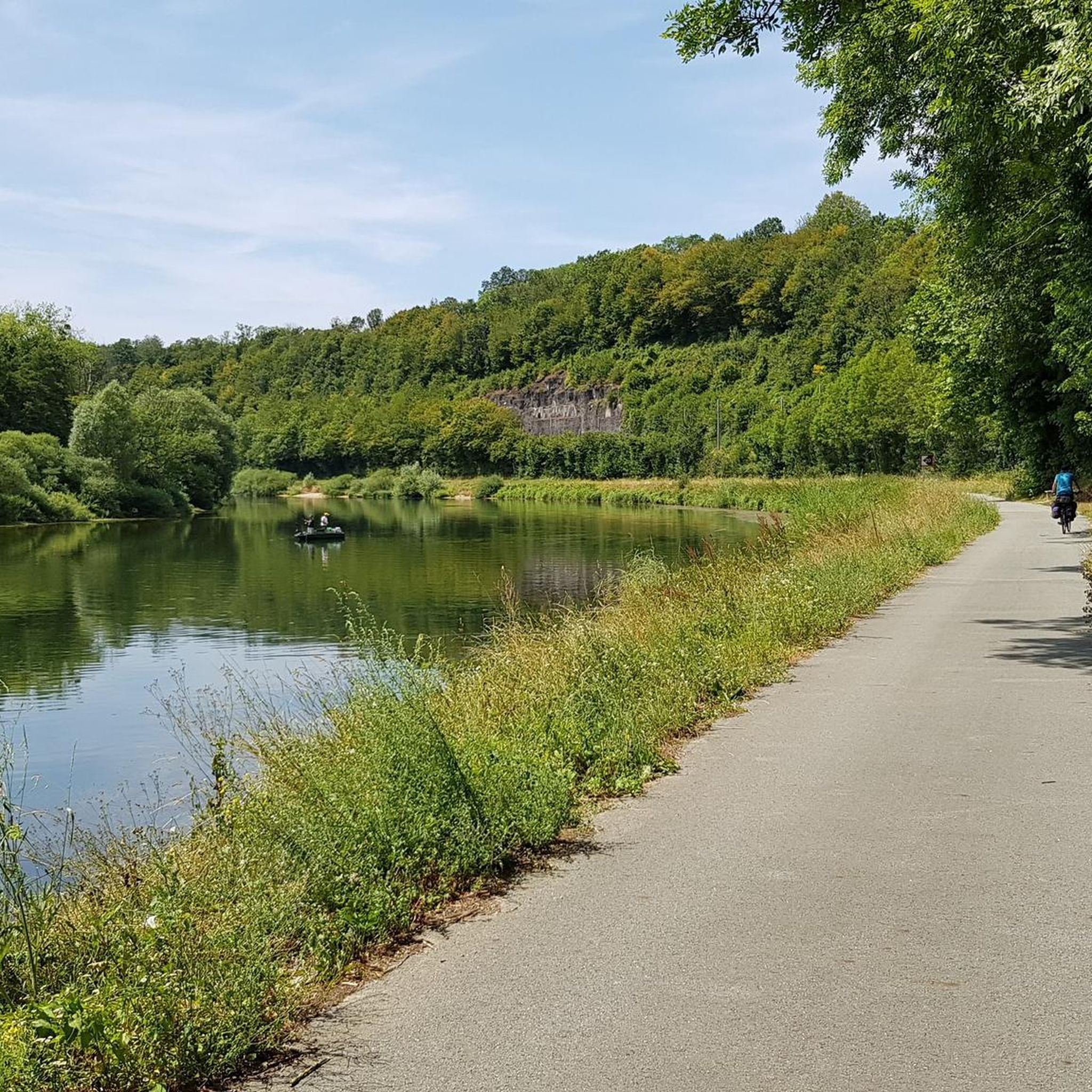
Yes, the region is crisscrossed by rivers like the Saône and the Ognon, offering pleasant walks along their banks. The Beautiful Cycle Path – View of the River loop from Moimay is an easy route that provides scenic views of the river.
What is the best time of year to go hiking in Villargent?
The Burgundy-Franche-Comté region, including the area around Villargent, is beautiful in spring and autumn when the weather is mild and the landscapes are vibrant with new growth or autumnal colors. Summer also offers good conditions, though some trails might be more exposed to the sun. Winter hiking is possible, especially in the Southern Vosges, but requires appropriate gear.
Are there family-friendly hiking options near Villargent?
Many of the 15 easy routes are suitable for families. These trails typically have gentle gradients and shorter distances, allowing for an enjoyable outdoor experience with children. The diverse landscapes, including forests and ponds, provide engaging environments for younger hikers.
Can I bring my dog on the hiking trails around Villargent?
Generally, dogs are welcome on most hiking trails in the Haute-Saône region, provided they are kept under control, especially in areas with livestock or wildlife. It's always advisable to check specific trail regulations or local signage for any restrictions, particularly in nature reserves.
Is there parking available at the trailheads near Villargent?
While specific parking details for every trailhead are not provided, most hiking areas in rural France, including those around Villargent, typically have designated parking spots near popular starting points or villages. It's recommended to check the starting point of your chosen route for specific parking information.
Are there any historical sites or castles to explore on hikes?
Yes, the region has a rich history. For example, the Château de Villersexel – Bridge Over the Ognon loop from Villersexel allows you to explore the area around the historic Château de Villersexel, offering a blend of natural beauty and cultural interest.
Most popular routes around Villargent
Most popular attractions around Villargent

Get inspired with the komoot mobile app


Explore more
Browse the best Hikes in other regions.
