The best walks and hikes around Uhlweiler
4.2
(197)
1,571
hikers
216
hikes
Hiking around Uhlweiler offers diverse trails within the Pays de Haguenau region, characterized by varied natural beauty including forests, countryside, and river valleys. The landscape features gentle elevation changes, with some routes leading through the significant Haguenau Forest and alongside the Moder River. This area provides a blend of accessible paths and more challenging routes, catering to different fitness levels.
Best hiking trails around Uhlweiler
- The most popular hiking route is The Winegrowers' Shelter – Geiersberg loop from Ringeldorf,…
Last updated: October 9, 2026
6
hikers
7.54km
01:58
60m
60m
Easy hike. Great for any fitness level. Easily-accessible paths. Suitable for all skill levels.
5.0
(2)
6
hikers
11.8km
03:00
30m
30m
Moderate hike. Good fitness required. Easily-accessible paths. Suitable for all skill levels.

5.0
(1)
4
hikers
9.49km
02:30
80m
80m
Moderate hike. Good fitness required. Easily-accessible paths. Suitable for all skill levels.
2
hikers
23.0km
06:17
350m
350m
Hard hike. Very good fitness required. Easily-accessible paths. Suitable for all skill levels.
4
hikers
6.60km
01:50
130m
130m
Easy hike. Great for any fitness level. Easily-accessible paths. Suitable for all skill levels.
Get access to more routes and recommendations from other explorers.
Already have an account?
Our route recommendations are based on thousands of hikes, rides, and runs completed by other people on komoot.
Start today with a free account
Your next adventure awaits.
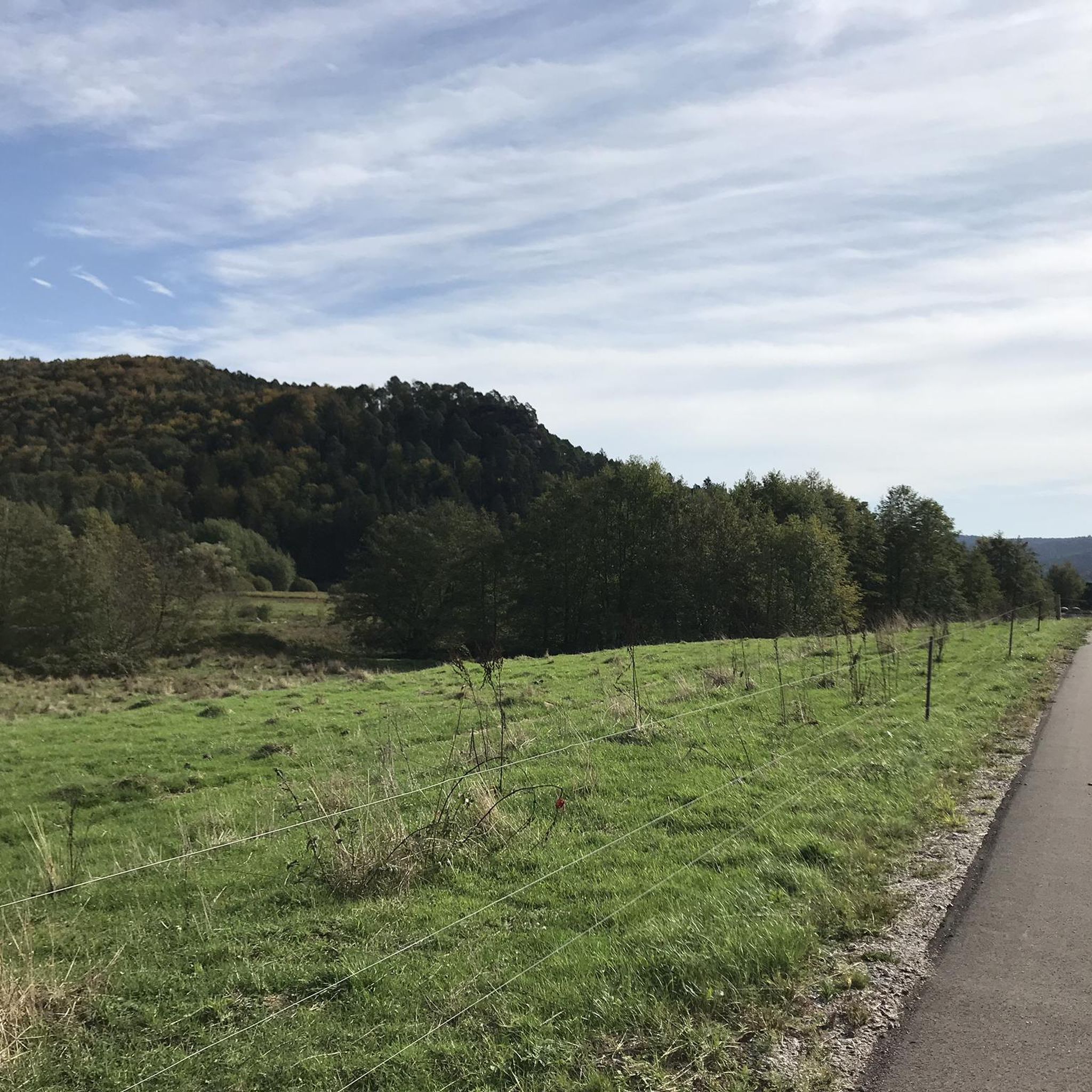
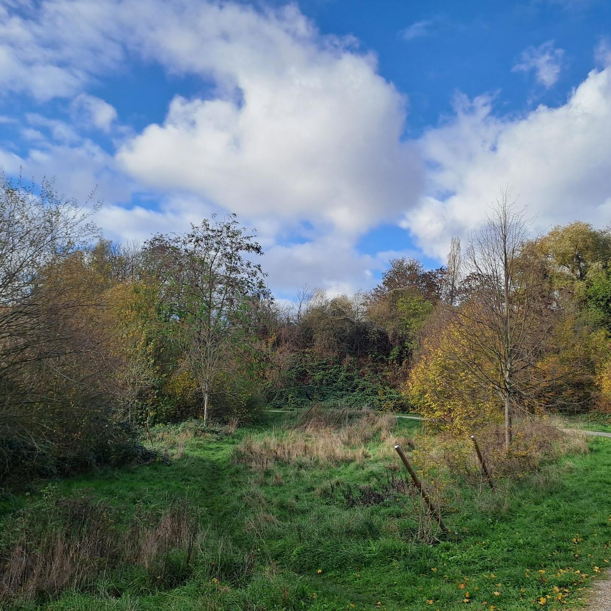
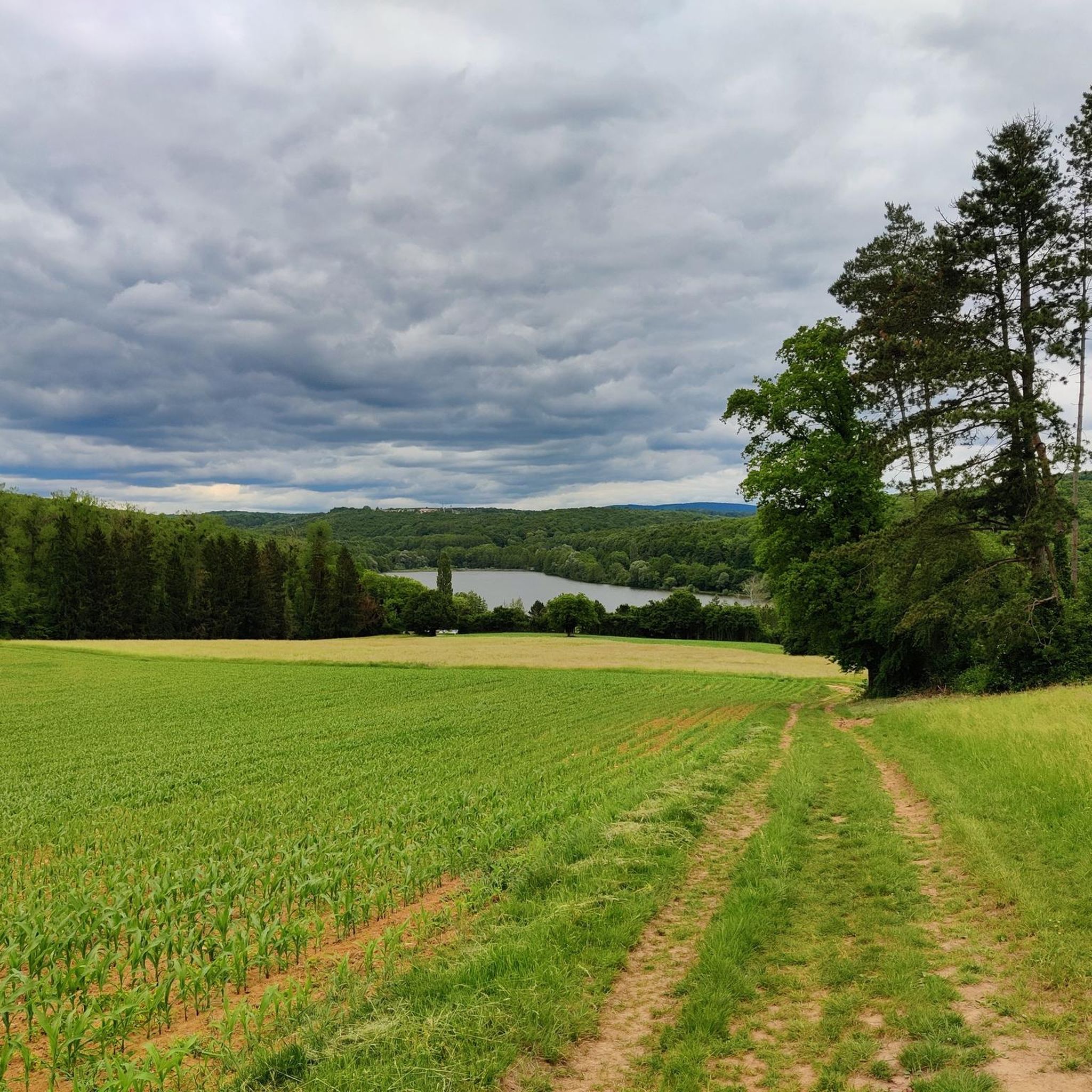


Tips from the Community

Nice path leading to the spring of Saint Ulrich
0
0

An Ulrich's fountain (also known as a little Ulrich's fountain, a little Ulrich's fountain, or a spring) is a spring sanctuary dedicated to Saint Ulrich of Augsburg. Ulrich's fountains are common in Austria, Bavaria, Swabia, and Alsace, where the saint was particularly venerated. The spring water is often said to have healing powers. Source: https://de.m.wikipedia.org/wiki/Ulrichsbrunnen
0
0

Here you will find an old Jesus Cross dating from 1767. It was probably erected by Mathiä Weber and Maria Diebolt.
0
0

Former train station near Neubourg
0
0


Tour leads through meadow orchards...
0
0
Frequently Asked Questions
How many hiking trails are available around Uhlweiler?
The Uhlweiler region offers a wide selection of hiking opportunities, with over 170 routes available. These range from easy strolls to more challenging excursions, catering to various fitness levels.
What kind of terrain can I expect on hikes near Uhlweiler?
The terrain around Uhlweiler is quite varied, encompassing diverse forests, open countryside, and scenic river paths, particularly along the Moder River. You'll find paths with gentle elevation changes, as well as some routes with more significant ascents, especially in the broader Pays de Haguenau region.
Are there easy hiking options suitable for beginners or casual walkers in Uhlweiler?
Yes, there are plenty of easy hiking options. Approximately 96 of the routes around Uhlweiler are classified as easy, perfect for beginners or those looking for a relaxed walk. An example is the La Moder River – Moder River loop from Schweighouse-sur-Moder, which is 3.5 miles long with minimal elevation gain.
Are there more challenging hikes for experienced hikers around Uhlweiler?
While the majority of trails are easy to moderate, there are a few more challenging routes available for experienced hikers. The broader Pays de Haguenau region offers routes exceeding five hours or 3,000 feet of elevation gain, requiring good fitness and sure-footedness.
What natural features can I discover while hiking in the Uhlweiler region?
Hikers can explore a variety of natural settings, including the significant Haguenau Forest, known for its 'Exceptional Forest®' status, and picturesque paths along the Moder River. The region is characterized by green settings, diverse valleys, and rich natural environments.
Are there any historical or cultural attractions near the hiking trails in Uhlweiler?
Yes, the region offers several points of interest that can complement your hike. You can visit the historical Sainte-Walburge Abbey Church, the Dislach Mill, or the Villa Meteor, known for its brewing heritage. Some trails, like the Maginot Line mine cart loop from Uberach, even explore historical sites directly.
Are there family-friendly hiking routes around Uhlweiler?
Many of the easy and moderate trails are suitable for families. Routes with less elevation gain and shorter distances, such as the Hiking loop from Wintershouse, are ideal for outings with children. The diverse forests and river paths provide engaging environments for all ages.
Can I bring my dog on the hiking trails in Uhlweiler?
Generally, dogs are welcome on most hiking trails in the Uhlweiler region. It's always recommended to keep your dog on a leash, especially in nature reserves or areas with wildlife, and to respect local regulations. The varied landscapes offer plenty of opportunities for walks with your canine companion.
Are there circular hiking routes available in Uhlweiler?
Yes, many of the trails around Uhlweiler are designed as circular routes, offering convenient starting and ending points. Examples include the The Winegrowers' Shelter – Geiersberg loop from Ringeldorf and the Siurce st Ulrich – Cross of Jesus from 1767 loop from Wintershouse.
What do other hikers enjoy the most about hiking in Uhlweiler?
The hiking trails around Uhlweiler are highly rated by the komoot community, with an average score of 4.2 stars. Reviewers often praise the diverse natural beauty, including the peaceful forests and scenic river paths, as well as the variety of routes suitable for different fitness levels.
Is public transport available to reach hiking trailheads near Uhlweiler?
Uhlweiler is situated within the Pays de Haguenau region, which has some public transport infrastructure. For specific trailheads, it's advisable to check local bus or train schedules, particularly for connections to towns like Haguenau, which has a train station (Haguenau station).
Where can I find more information about walking and hiking in the broader Haguenau region?
For additional information and resources on walking and hiking in the wider Pays de Haguenau area, you can consult the local tourist office's website: visithaguenau.alsace.
Most popular routes around Uhlweiler
Most popular attractions around Uhlweiler

Get inspired with the komoot mobile app


Explore more
Browse the best Hikes in other regions.
