The best walks and hikes around Morschweiler
4.2
(100)
779
hikers
114
hikes
Hiking around Morschweiler offers access to green spaces and a network of well-maintained trails in France's Grand Est region. The area features picturesque fields, small woods, and routes that follow local water features. Its proximity to Mulhouse provides additional access to urban green spaces and a broader network of paths.
Best hiking trails around Morschweiler
- The most popular hiking route is The Winegrowers' Shelter – Geiersberg loop from Val-de-Moder, a 5.8 miles (9.4 km) trail that takes 2 hours…
Last updated: July 5, 2026
3.3
(4)
36
hikers
9.43km
02:37
170m
170m
Moderate hike. Good fitness required. Easily-accessible paths. Suitable for all skill levels.
3.3
(4)
32
hikers
7.77km
02:11
150m
150m
Moderate hike. Good fitness required. Easily-accessible paths. Suitable for all skill levels.

Sign up for free
5.0
(4)
40
hikers
8.05km
02:06
60m
60m
Moderate hike. Good fitness required. Easily-accessible paths. Suitable for all skill levels.
5.0
(1)
37
hikers
9.67km
02:31
70m
70m
Moderate hike. Good fitness required. Easily-accessible paths. Suitable for all skill levels.
4.7
(3)
14
hikers
5.30km
01:27
80m
80m
Easy hike. Great for any fitness level. Easily-accessible paths. Suitable for all skill levels.
Get access to more routes and recommendations from other explorers.
Sign up for free
Already have an account?
Our route recommendations are based on thousands of hikes, rides, and runs completed by other people on komoot.
Start today with a free account
Your next adventure awaits.
Login or Signup


Tips from the Community

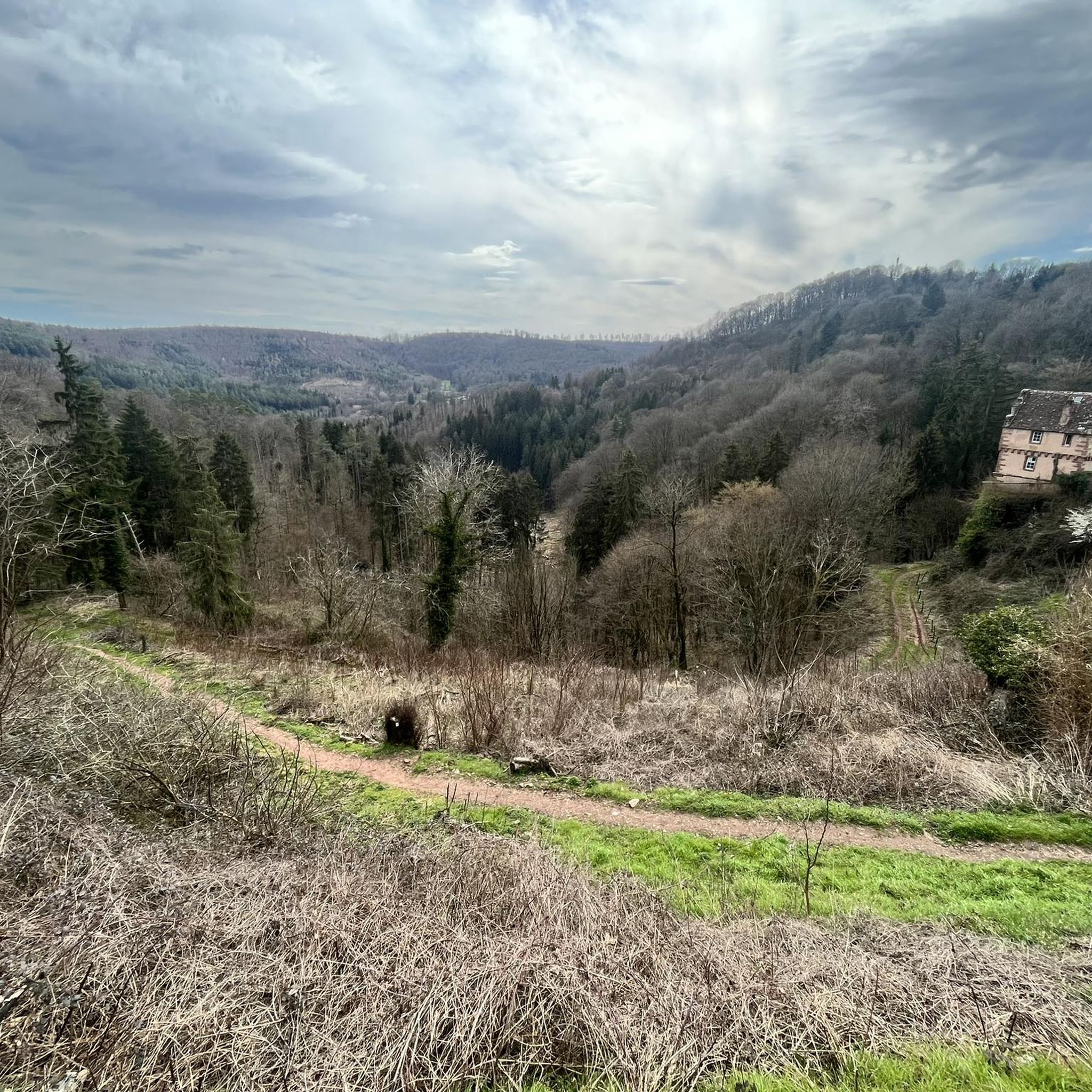
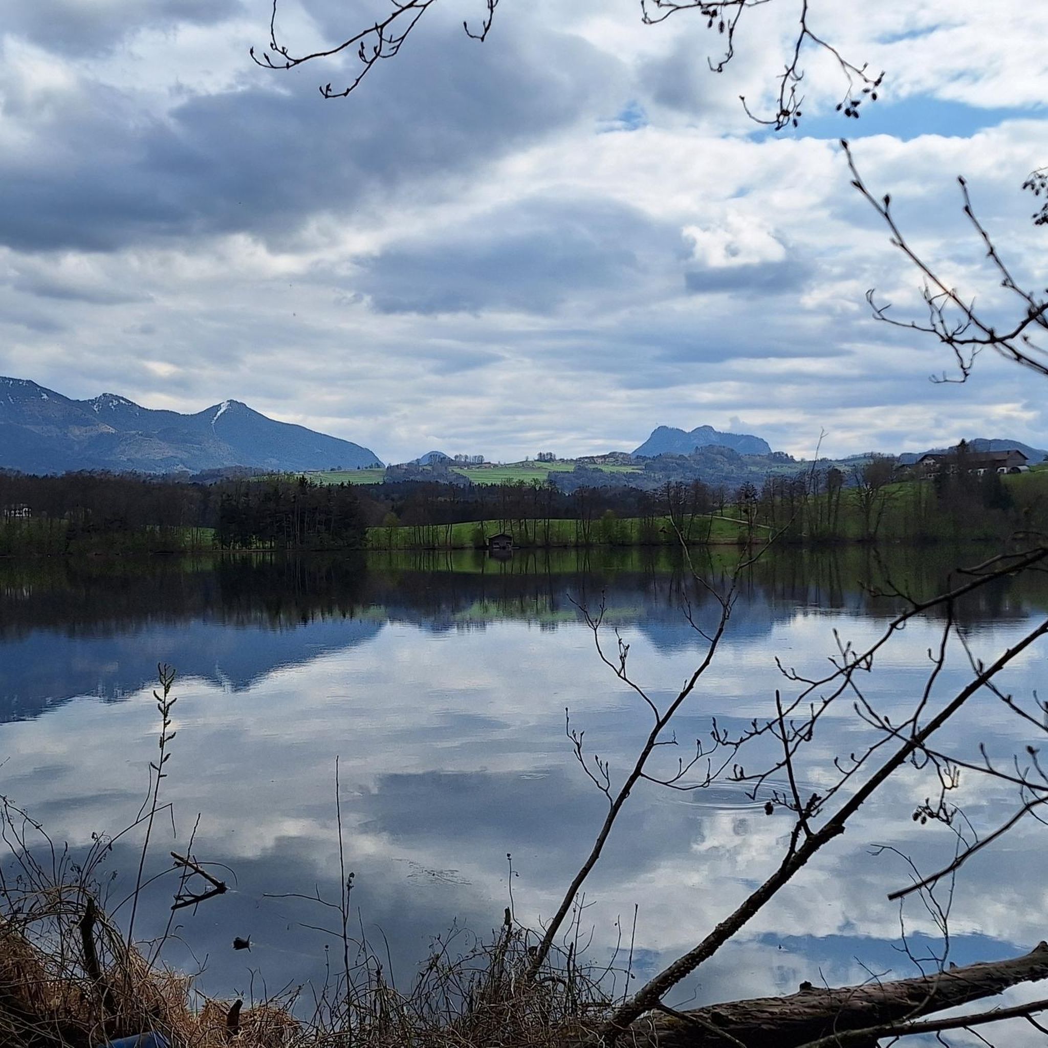
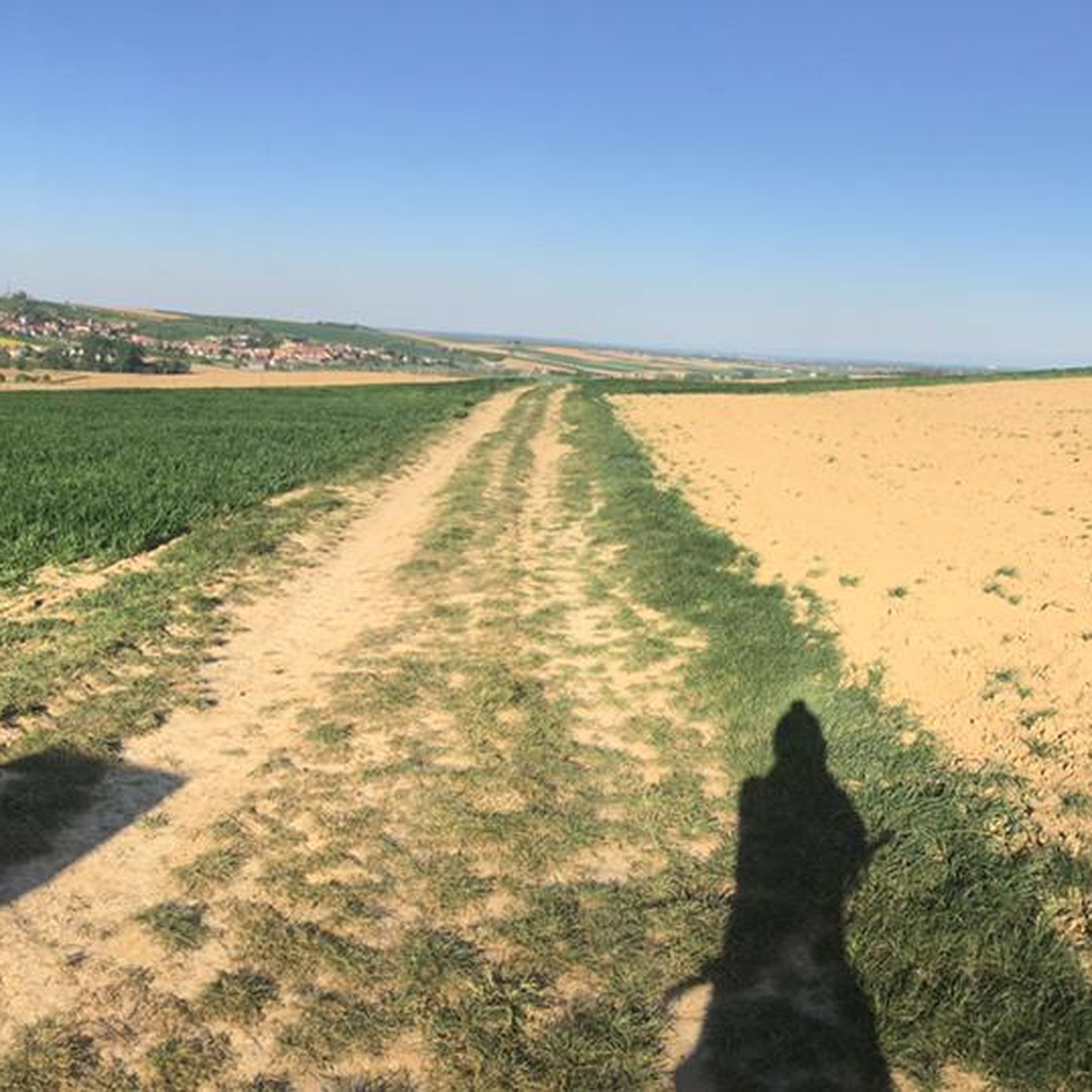
Easily recognizable from the main path, only a small detour is necessary.
2
0

Magnificent views, panoramic views and, in good weather, brilliant views.
2
0

Urban art or street art is both an artistic movement and a mode of artistic expression, which asserts itself or thus asserts itself from the end of the 20th century.
1
1
Frequently Asked Questions
How many hiking trails are available around Morschweiler, and what are their difficulty levels?
There are over 90 hiking trails around Morschweiler. The majority are either easy or moderate, with 44 easy routes and 46 moderate routes. There are also a couple of more difficult trails for experienced hikers.
Are there family-friendly hiking options in Morschweiler?
Yes, Morschweiler offers several family-friendly hiking options. The Steinbaechlein Trail, for instance, is specifically designed to be accessible for families, guiding walkers through picturesque fields and small woods. Many of the easy-rated routes are also suitable for families.
Can I bring my dog on hikes around Morschweiler?
Generally, dogs are welcome on most hiking trails around Morschweiler, especially in the natural areas. However, it's always best to keep them on a leash, especially when passing through agricultural areas or near wildlife, and to respect local regulations.
Are there circular hiking routes available in Morschweiler?
Yes, many of the trails around Morschweiler are circular routes, offering convenient starting and ending points. Examples include The Winegrowers' Shelter – Geiersberg loop from Val-de-Moder and Maginot Line mine cart loop from Uberach.
What kind of natural features or landscapes can I expect to see on the trails?
The trails around Morschweiler lead through diverse landscapes, including picturesque fields, small woods, and areas alongside small streams. You'll experience the local municipal landscape and have access to broader green spaces as the network extends towards Mulhouse.
Are there any interesting landmarks or attractions near the hiking trails?
Yes, there are several points of interest nearby. You can explore historical sites like the Half-Timbered Houses in Bouxwiller or visit the Villa Meteor. The Forêt Indivise de Haguenau also offers extensive natural beauty.
Where can I find parking for the hiking trails in Morschweiler?
For the Steinbaechlein Trail, parking is conveniently located at the town's multipurpose hall, which serves as both the starting and ending point. For other trails, parking is generally available near trailheads in Morschweiler and surrounding villages. It's advisable to check specific route details for precise parking information.
What is the best time of year to go hiking in Morschweiler?
Morschweiler offers pleasant hiking conditions for much of the year. Spring and autumn provide mild temperatures and beautiful scenery with blooming flowers or vibrant fall foliage. Summer is also suitable, though it can be warmer. Winter hiking is possible, but some paths might be muddy or require appropriate footwear.
What do other hikers enjoy the most about hiking in Morschweiler?
The area is highly rated by the komoot community, with an average score of 4.2 stars from over 70 reviews. Hikers often praise the well-maintained trails, the peaceful green spaces, and the varied terrain that includes fields, woods, and water features. The accessibility of routes for different skill levels is also frequently appreciated.
Are there any easy walks suitable for beginners or those looking for a relaxed stroll?
Absolutely. Morschweiler has 44 easy-rated routes perfect for beginners or those seeking a leisurely walk. An example is The Winegrowers' Shelter loop from Val-de-Moder, which is just over 5 km long and features minimal elevation gain.
Can I access Morschweiler's hiking trails using public transport?
Morschweiler is integrated into a broader network of paths that connect to nearby areas, including Mulhouse. While specific public transport links directly to trailheads might vary, the region's overall connectivity suggests that reaching the general area by public transport is feasible, especially from larger hubs like Mulhouse. It's recommended to check local bus schedules for connections to Morschweiler-le-Bas.
Are there opportunities to combine hiking with exploring urban green spaces?
Yes, Morschweiler's proximity to Mulhouse means you can easily access the city's numerous parks and gardens. These include the Zoological and Botanical Park, Parc Salvator, and Parc Alfred Wallach, which features walking trails and overlooks the Tannenwald forest, offering a blend of natural and urban green experiences.
Most popular routes around Morschweiler
Most popular attractions around Morschweiler

Get inspired with the komoot mobile app


Explore more
Browse the best Hikes in other regions.
