The best walks and hikes around La Séguinière
4.4
(595)
4,053
hikers
172
hikes
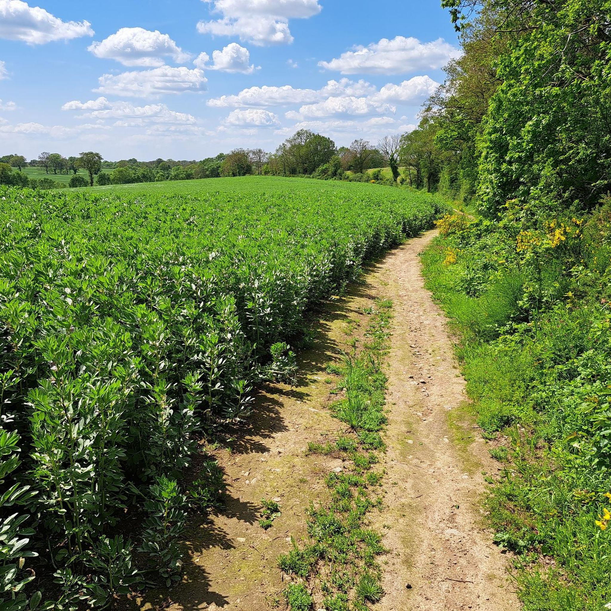
Hiking around La Séguinière offers routes through the varied landscape of the Pays de la Loire region. The area is characterized by rolling countryside, agricultural fields, and river valleys, often featuring woodlands and historic mills. Elevation changes are generally gentle, making many trails accessible.
Best hiking trails around La Séguinière
- The most popular hiking route is Moulin d'Ivroreille – Moulin du Bouchot loop from La Romagne, a 7.6 miles (12.2 km) trail that takes 3 hours 16 minutes to…
Last updated: July 9, 2026
4.3
(8)
35
hikers
12.2km
03:17
150m
150m
Moderate hike. Good fitness required. Easily-accessible paths. Suitable for all skill levels.
4.0
(5)
14
hikers
7.55km
02:02
90m
100m
Moderate hike. Good fitness required. Easily-accessible paths. Suitable for all skill levels.

Sign up for free
5.0
(2)
17
hikers
12.4km
03:10
50m
50m
Moderate hike. Good fitness required. Easily-accessible paths. Suitable for all skill levels.
3.0
(1)
4
hikers
3.53km
00:57
50m
50m
Easy hike. Great for any fitness level. Easily-accessible paths. Suitable for all skill levels.
4.0
(1)
5
hikers
5.86km
01:35
70m
70m
Easy hike. Great for any fitness level. Easily-accessible paths. Suitable for all skill levels.
Get access to more routes and recommendations from other explorers.
Sign up for free
Already have an account?
Our route recommendations are based on thousands of hikes, rides, and runs completed by other people on komoot.
Start today with a free account
Your next adventure awaits.
Login or Signup


Tips from the Community

Everything is in the title. A footbridge is available nearby
1
0

Old water mill on the Moine, nicely restored. A site of great beauty.
0
0

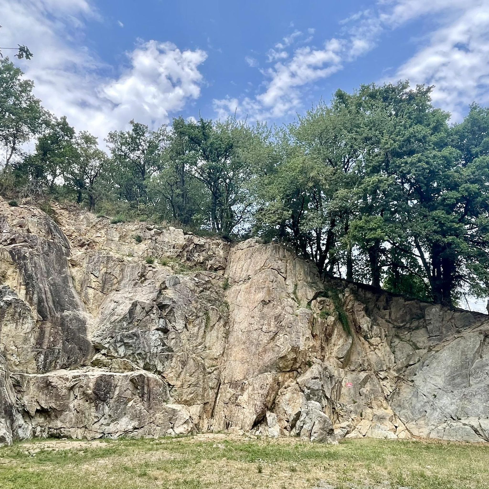
Former mill, once operated by several generations of potters, with a now private footbridge that served as a link between La Séguinière and La Romagne, and now a natural area on the banks of the Moine popular for several sporting activities. First of all, hiking, it is in particular the favorite place for the "Randonnée du Bouchot" organized each year for the Séguinière blood sausage festival (!!!). It is also a popular place for climbing with the presence of a cliff offering a small site of about fifteen routes with a height ranging from 10 to 20 m and a level of difficulty of 4 to 6b. For cyclists, the place gives the opportunity of a beautiful hill going up from the river towards the Séguinière. The passage of the ford can sometimes be blocked in the event of flooding of the river, but that passes largely in the beautiful days.
0
0
Frequently Asked Questions
How many hiking trails are available around La Séguinière?
There are over 160 hiking routes available around La Séguinière, catering to various skill levels. You'll find a good mix of easy, moderate, and a few more challenging options.
Are there easy or beginner-friendly hikes in La Séguinière?
Yes, La Séguinière offers many easy hikes suitable for beginners. Nearly 70 routes are classified as easy. A good option is the Moulin Le Bouchot – Moulin du Bouchot loop from La Romagne, which is about 4.5 miles (7.3 km) long and takes around 2 hours to complete.
What kind of terrain can I expect on hikes around La Séguinière?
The terrain around La Séguinière is characterized by rolling countryside, agricultural fields, and river valleys. You'll often encounter woodlands and historic mills. Elevation changes are generally gentle, making most trails accessible and pleasant for walking.
Are there any circular walks available in the area?
Many of the trails around La Séguinière are circular, offering convenient starting and ending points. For example, the popular Moulin d'Ivroreille – Moulin du Bouchot loop from La Romagne is a circular route that explores the local landscape and historic mills.
What are the average lengths and durations of hikes in La Séguinière?
Hikes in La Séguinière vary in length, but many fall into the moderate category, ranging from 6 to 10 miles (10 to 16 km). These typically take between 3 to 5 hours to complete, depending on your pace. Shorter, easier routes are also available for quicker outings.
What can I see along the hiking trails around La Séguinière?
Beyond the natural beauty of the countryside, you can discover several interesting landmarks. The region is known for its historic mills, and you might also encounter impressive castles such as Tiffauges Castle or Beaupréau Castle. There are also several serene lakes like Lake Ribou and Noues Pond that offer picturesque spots.
Are the hiking trails around La Séguinière suitable for families?
Yes, many trails are suitable for families, especially the easier routes with gentle elevation changes. The varied landscape of fields and woodlands provides an engaging environment for children. Consider routes that are shorter in duration, such as the Moulin Le Bouchot – Moulin du Bouchot loop from La Romagne, which is relatively flat and manageable for younger hikers.
What do other hikers enjoy most about the trails in La Séguinière?
The komoot community highly rates the trails around La Séguinière, with an average score of 4.3 stars from over 470 reviews. Hikers often praise the peaceful atmosphere, the well-maintained paths, and the charming mix of river paths, open fields, and woodlands that define the region's natural beauty.
Are there any less crowded hiking trails near La Séguinière?
While some popular routes can see more visitors, the extensive network of over 160 trails means you can often find quieter paths. Exploring some of the less-known local loops or visiting during off-peak hours can help you enjoy a more solitary experience. The Ball Trail – Le petit pont loop from Bégrolles-en-Mauges is a good option for a longer, less frequented route.
Is it possible to hike in La Séguinière during winter?
Hiking in La Séguinière is generally possible during winter, as the terrain is not typically subject to heavy snow or extreme conditions. However, paths can be muddy, especially after rain. It's advisable to wear appropriate waterproof footwear and check local weather conditions before heading out.
Are there any hiking trails with good viewpoints in La Séguinière?
While La Séguinière is characterized by gentle rolling countryside rather than dramatic peaks, many trails offer pleasant open views across agricultural fields and river valleys. The 2nd loop from Saint-Macaire-en-Mauges provides expansive views of the local countryside as it winds through the area.
Are there opportunities for wild swimming near the hiking trails?
While the region features several lakes and rivers, such as the Moine river and Lake Ribou, designated wild swimming spots directly adjacent to hiking trails are not commonly highlighted. It's always best to check local regulations and safety information regarding swimming in natural bodies of water.
Most popular routes around La Séguinière
Most popular attractions around La Séguinière

Get inspired with the komoot mobile app


Explore more
Browse the best Hikes in other regions.
