The best road cycling routes around Mentque-Nortbécourt
4.4
(61)
2,991
riders
361
rides
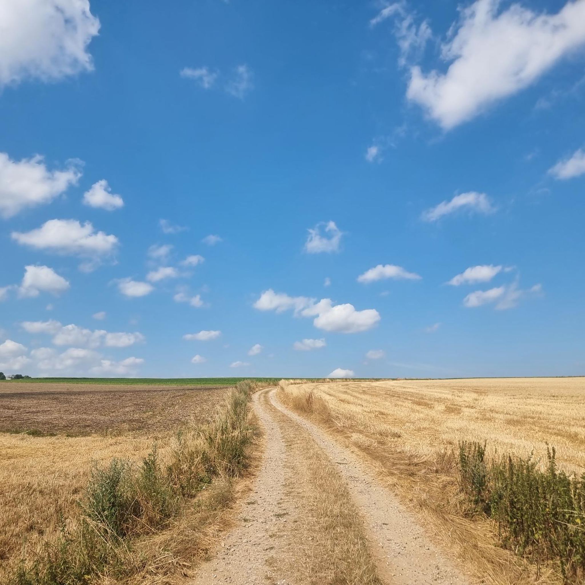
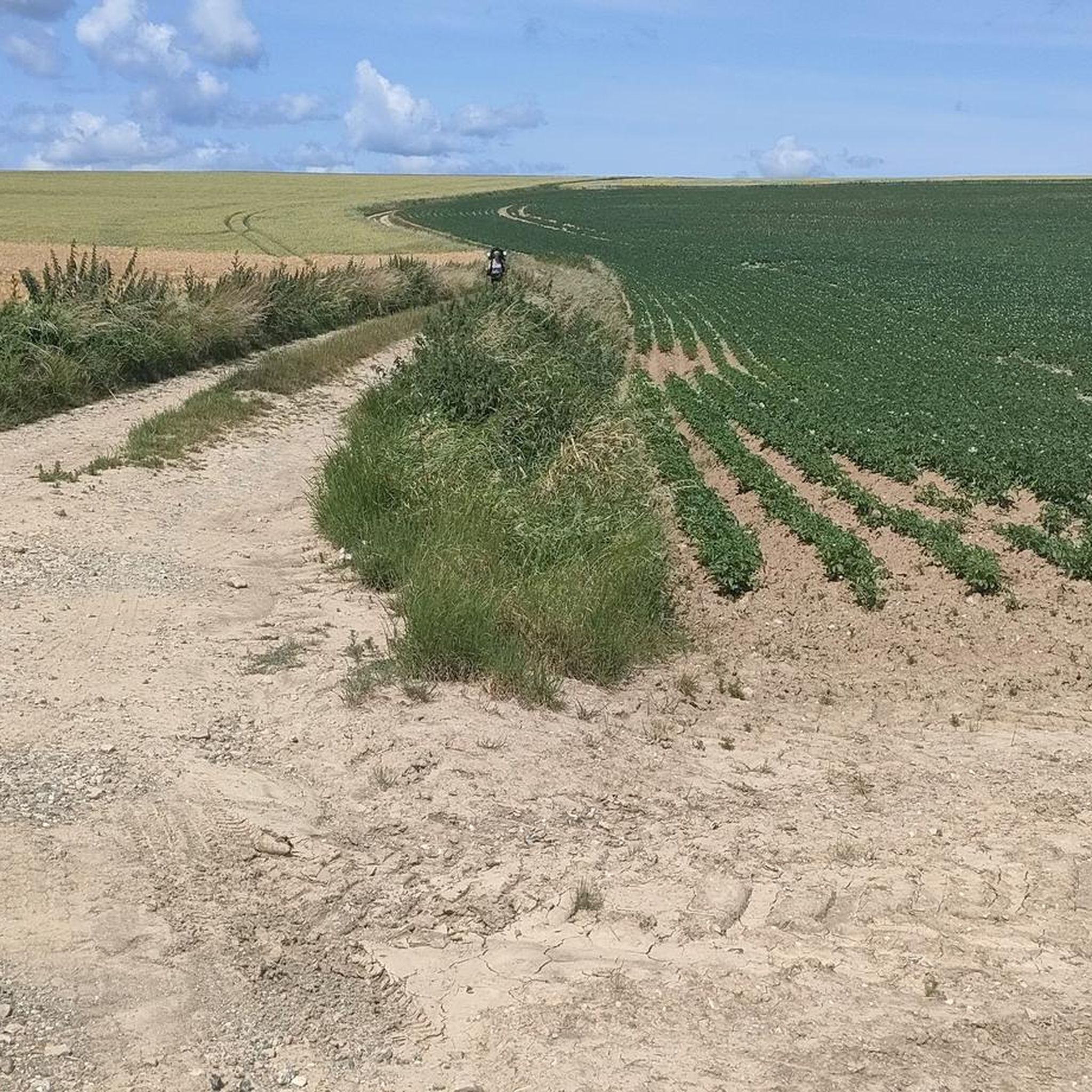
Road cycling around Mentque-Nortbécourt features a landscape characterized by rural roads, gentle hills, and agricultural areas. The region includes routes that pass through open countryside and near small water bodies, offering varied terrain for road cyclists. Elevation changes are generally moderate, with some routes incorporating minor climbs.
Best road cycling routes around Mentque-Nortbécourt
- The most popular road cycling route is The vine loop from Bayenghem-lès-Éperlecques, a 29.3 miles (47.2 km) trail that takes 2 hours 4 minutes to complete.…
Last updated: July 15, 2026
26
riders
Moderate road ride. Good fitness required. Some segments of this route may be unpaved and difficult to ride.
10
riders
Easy road ride. Great for any fitness level. Mostly well-paved surfaces and easy to ride.

Sign up for free
10
riders
40.4km
01:36
120m
120m
Easy road ride. Great for any fitness level. Mostly well-paved surfaces and easy to ride.
7
riders
Moderate road ride. Good fitness required. Mostly well-paved surfaces and easy to ride.
6
riders
45.3km
02:05
490m
490m
Moderate road ride. Good fitness required. Mostly well-paved surfaces and easy to ride.
Get access to more routes and recommendations from other explorers.
Sign up for free
Already have an account?
Our route recommendations are based on thousands of hikes, rides, and runs completed by other people on komoot.
Start today with a free account
Your next adventure awaits.
Login or Signup


Tips from the Community

A magnificent little village whose town was laid out parallel to the Hem river. Its old center forms a medieval castle town. Once fortified, it was organized around a square and a castle known since the 13th century. In the 15th century, Tournehem Castle became the residence of the Dukes of Burgundy.
1
0

The Hem is a small river in Northern France. It rises in Surques, flows through Licques, Tournehem-sur-la-Hem, and flows into the Aa at Hennuin. The most important tributaries are the ruisseau de Loquin, the ruisseau de Sanghem, the ruisseau de Licques and the ruisseau de Bainghen.
0
0
Tournehem-sur-la-Hem (Dutch: Doornem) is a commune in the Pas-de-Calais department in the Hauts-de-France region in northwestern France. The commune is part of the arrondissement of Saint-Omer.
0
0

Église Saint-Wandrille is a church in Bayenghem-lès-Éperlecques, a commune in the Pas-de-Calais department (Hauts-de-France region) in France. The church is owned by the municipality and managed by the Diocese of Arras. The building dates from the 18th century and has an unobtrusive architecture. The choir and nave have been extensively renovated and have been given a modern appearance. The church has no specific style and is not dated.
7
0
The Euroroute R1 passes here! The French section of the Euroroute R1 is about 97 km long and leads from the channel coast, either from Boulogne-sur-Mer or Calais, through Nord-Pas-de-Calais to the Belgian border. The route from Boulogne-sur-Mer to Watten is 64 km long and is surprisingly hilly, while the route from Calais to Watten is 36 km long and nearly flat. The Euroroute R1 between Watten and the Belgian border at Oost-Cappel is 35 km long and crosses the plane of Yser in French Flanders. The route in France is rather rural and passes through contemplative villages and small towns with worth seeing churches along the way.
5
0
This 22m high bunker protrudes like a mountain of concrete above the fôret d'Eperlecques. It was built as a launching pad to bombard London with V2 rockets. The 5m thick concrete capstone was gradually lifted with a jack system as construction progressed. He had to protect the workers from the bombardments. But on August 27, 1943, 185 "flying fortresses" launched in England dropped several tons of bombs on the bunker. Numerous deportees who were employed there died in the bombardment. The bunker was then enlarged to house a liquid oxygen plant.
8
0

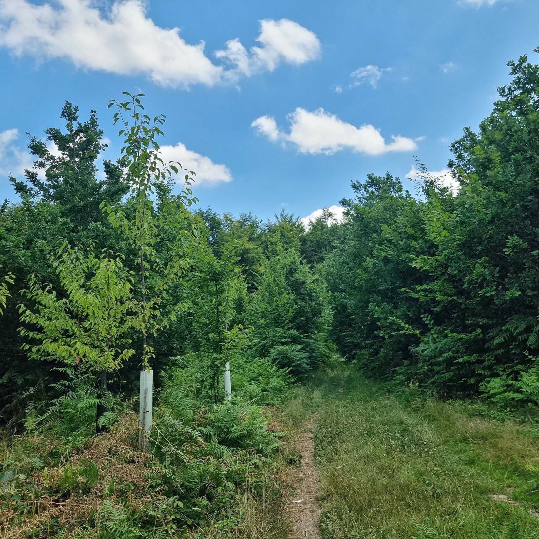
Road very little frequented belonging to the circuit L'orée du bois.
3
0

Well worth a visit. But check the opening times. as they vary throughout the year
3
1
Frequently Asked Questions
How many road cycling routes are available around Mentque-Nortbécourt?
There are over 340 road cycling routes in the Mentque-Nortbécourt area, offering a wide range of options for different skill levels and preferences.
Are there easy road cycling routes suitable for beginners in Mentque-Nortbécourt?
Yes, Mentque-Nortbécourt offers a good selection of routes suitable for beginners. There are 61 easy routes, such as the Étang d'Ardres loop from Bayenghem-lès-Éperlecques, which is 23.9 miles (38.5 km) long and leads through open fields and near the Étang d'Ardres.
What kind of terrain can I expect on road cycling routes in Mentque-Nortbécourt?
The region is characterized by rural roads, gentle hills, and agricultural areas. You'll find varied terrain, including open countryside and routes near small water bodies. Elevation changes are generally moderate, with some minor climbs.
Are there challenging road cycling routes for advanced riders?
Yes, for more experienced cyclists, there are 47 difficult routes available. These routes often feature more significant elevation changes and longer distances, providing a good challenge.
What are some scenic viewpoints or attractions along the road cycling routes?
While cycling, you can explore several interesting points. Consider visiting Watten Hill for panoramic views, or the historic Saint-Louis Chapel of Guémy. The routes also pass near the Houlle River and the Étang d'Ardres, offering pleasant waterside scenery.
Are there any circular road cycling routes in the area?
Many of the routes in Mentque-Nortbécourt are circular, allowing you to start and end at the same point. Examples include The vine loop from Bayenghem-lès-Éperlecques and the Chemin du Fond de Cormette – The Hem at Licques loop from Mentque-Nortbécourt.
What is the best time of year to go road cycling in Mentque-Nortbécourt?
The best time for road cycling in Mentque-Nortbécourt is typically during the spring, summer, and early autumn months when the weather is milder and the agricultural landscapes are in full bloom. Winters can be cold and wet, making conditions less ideal.
What do other road cyclists say about the routes in Mentque-Nortbécourt?
The road cycling routes in Mentque-Nortbécourt are highly rated by the komoot community, with an average score of 4.4 stars from over 50 reviews. Cyclists often praise the quiet rural roads, varied scenery, and the well-maintained paths.
Are there any long-distance road cycling routes for endurance training?
For longer rides, you can explore routes like the Bois Lottin Climb loop from Bouvelinghem, which covers 75.4 miles (121.3 km) and includes more significant climbs, making it suitable for endurance training.
Can I find routes that pass through villages or offer opportunities for cafe stops?
Many routes in the Mentque-Nortbécourt region traverse small villages and towns, providing opportunities for breaks and refreshments. While specific cafe stops aren't listed for every route, the rural setting often means local establishments are accessible along the way.
What are the typical distances and durations for road cycling routes here?
Route distances vary significantly, from shorter rides of around 20-30 km to longer ones exceeding 70 km. Durations can range from just over an hour for easier, shorter loops to several hours for more challenging and extended tours, depending on your pace and the route's elevation.
Most popular routes around Mentque-Nortbécourt
Most popular attractions around Mentque-Nortbécourt

Get inspired with the komoot mobile app


Explore more
Browse the best Road cycling routes in other regions.
