The best walks and hikes around Saint-Inglevert
4.5
(4911)
31,849
hikers
358
hikes
Hiking around Saint-Inglevert offers access to the diverse landscapes of the Opal Coast in northern France. The region is characterized by dramatic coastal cliffs, including the white chalk cliffs of Cap Blanc-Nez and the gray sandstone cliffs of Cap Gris-Nez. Inland, the terrain transitions to pastures, dunes, and heathlands, providing varied scenery for outdoor activities.
Best hiking trails around Saint-Inglevert
- The most popular hiking route is Bunkers on Mont de Couple – Mont de Couple loop from Leubringhen, an…
Last updated: July 9, 2026
5.0
(6)
64
hikers
4.97km
01:22
80m
80m
Easy hike. Great for any fitness level. Easily-accessible paths. Suitable for all skill levels.
4.6
(5)
27
hikers
4.64km
01:19
100m
100m
Easy hike. Great for any fitness level. Easily-accessible paths. Suitable for all skill levels.

Sign up for free
5.0
(6)
35
hikers
8.19km
02:22
220m
220m
Moderate hike. Good fitness required. Easily-accessible paths. Suitable for all skill levels.
4.0
(1)
22
hikers
8.20km
02:16
150m
140m
Moderate hike. Good fitness required. Easily-accessible paths. Suitable for all skill levels.
4.3
(6)
31
hikers
14.3km
03:50
170m
170m
Moderate hike. Good fitness required. Easily-accessible paths. Suitable for all skill levels.
Get access to more routes and recommendations from other explorers.
Sign up for free
Already have an account?
Our route recommendations are based on thousands of hikes, rides, and runs completed by other people on komoot.
Start today with a free account
Your next adventure awaits.
Login or Signup
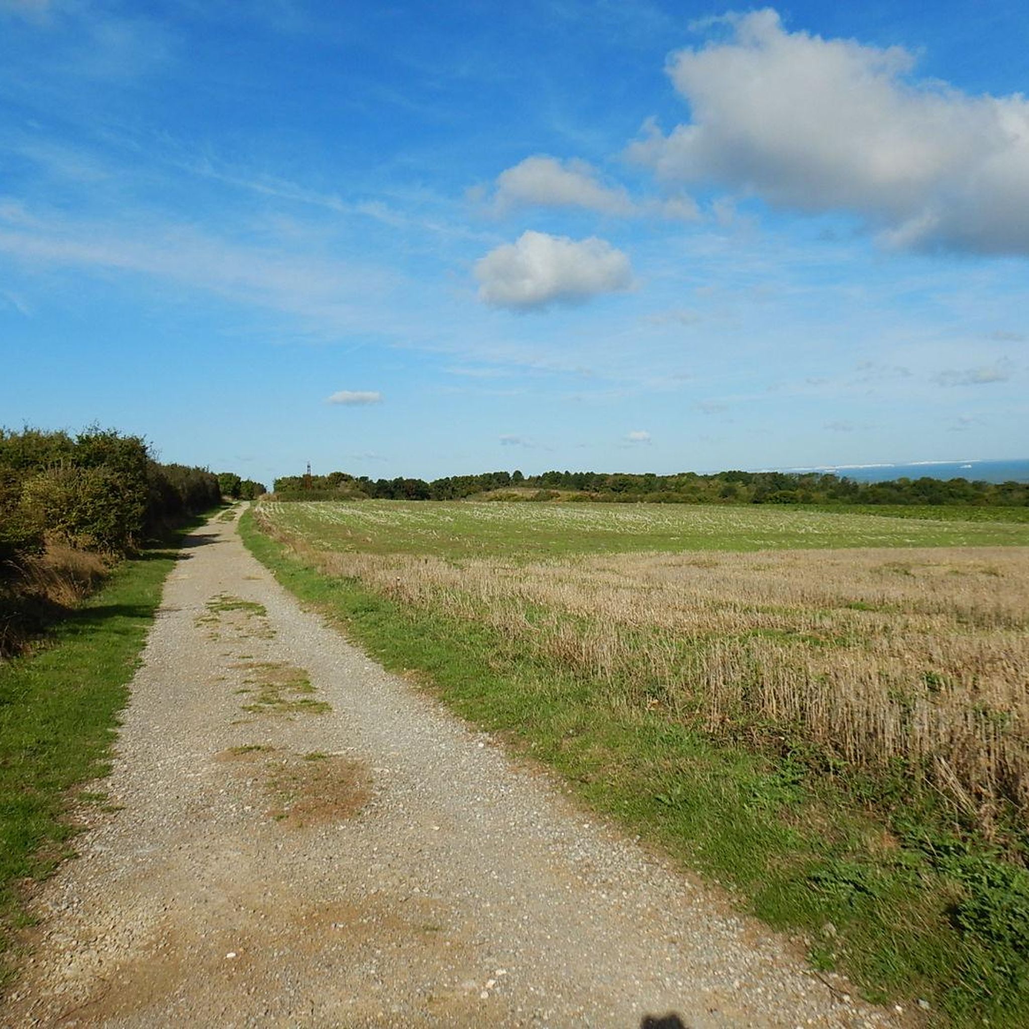
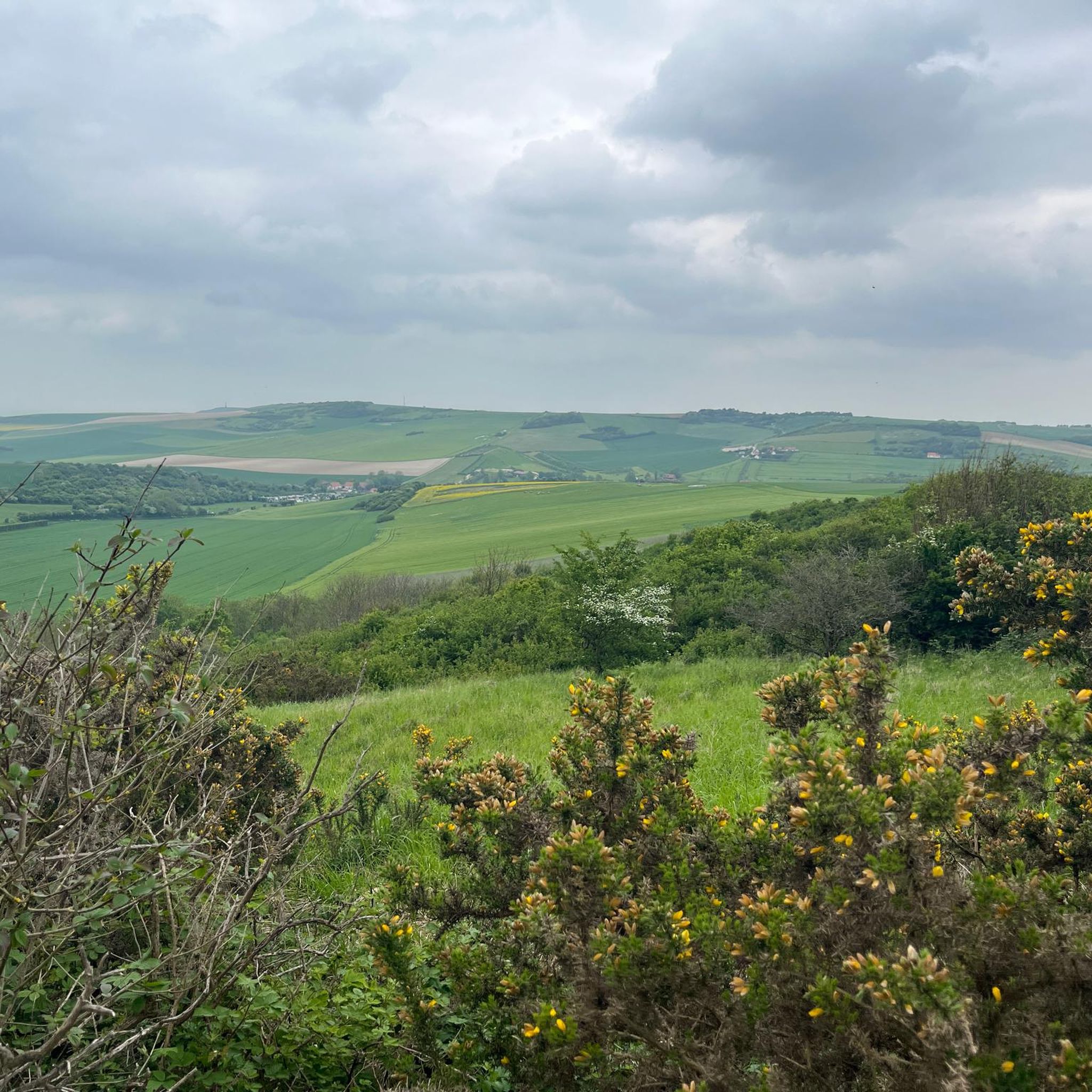
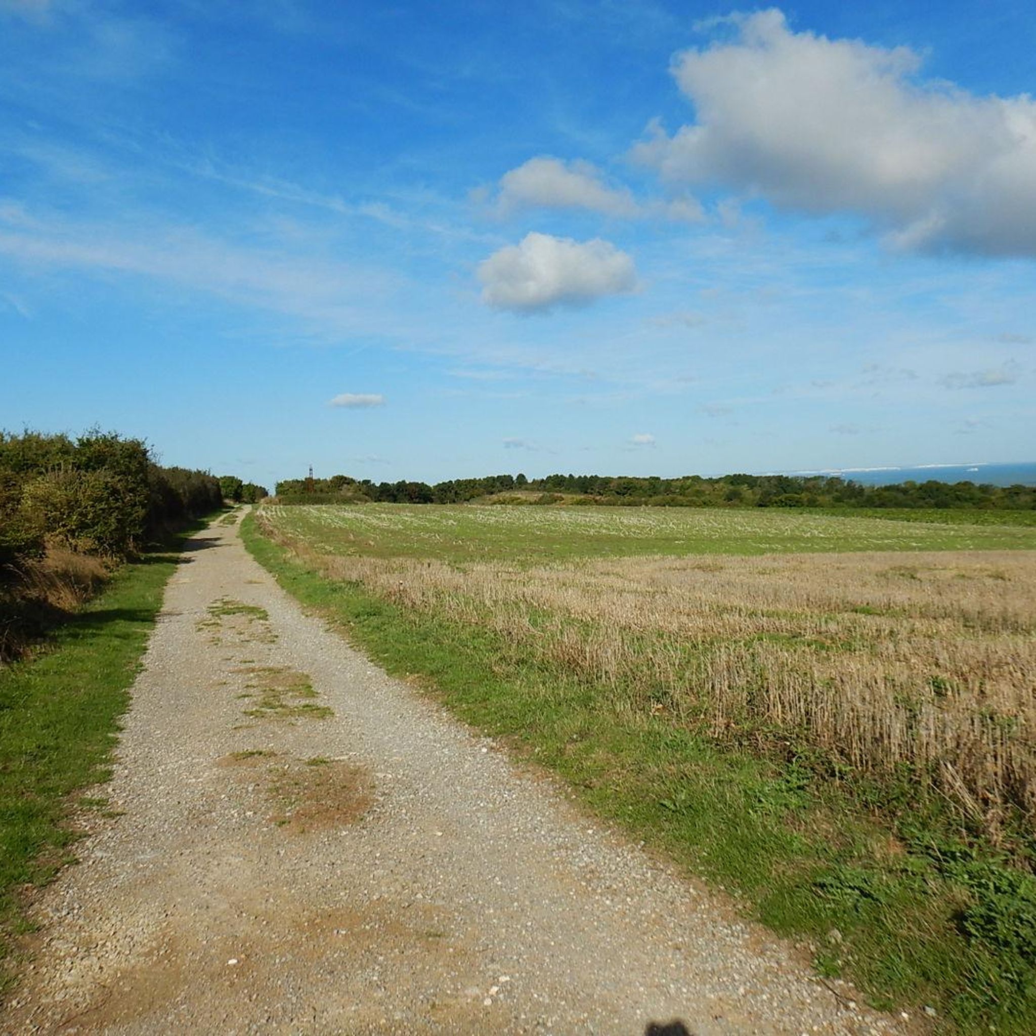

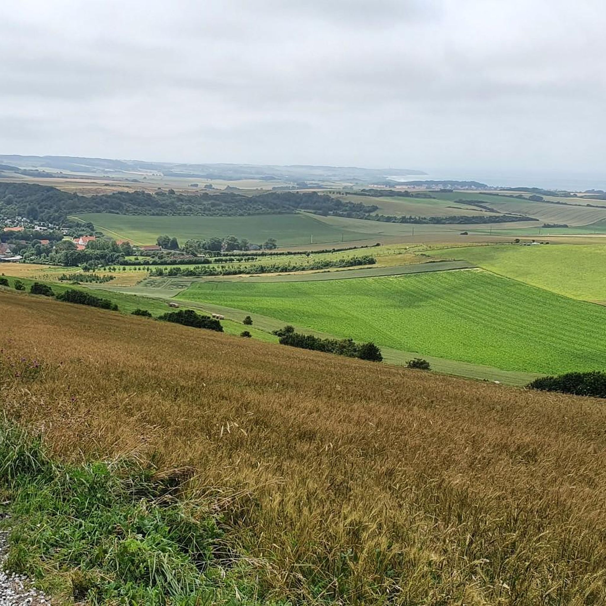
Tips from the Community

Village square at the St.Nicolaas church, with free parking on the square. Wednesday morning and Friday afternoon the square is closed due to market.
0
0

Mont de Couple is a small hill 163 meters above sea level. Its summit offers an exceptional view of the hinterland and the town of Wissant. In good weather, you can see the Strait of Dover, the White Cliffs of England, the Boulogne hinterland, and the Calais region.
1
0
Magnificent farmhouse located on the roadside. The Herlen stream, which rises at the foot of Mount Couple, runs close to the 18th-century building. It powers the farm's mill, which produced flour until 1945.
1
0
Up and down to and from Mont Coupole, be careful, heavy slopes with treacherous parts and deep grooves
0
0
Single tracks in abundance at the end of the asphalt road: Rue d'Herlinghen, some are very challenging.
0
0


The Gothic church building dates back to the 15th century. The extensions were built in the 19th century.
0
0

Mont de Couple is the highest point in Boulonnais, at an altitude of 163 m. Along the way, you can admire the diverse flora and fauna of the nature reserve, as well as the remains of German bunkers from the Second World War. At the top, you'll be rewarded with breathtaking views of the coast and countryside. You will also be able to see on your right the majestic Cap Blanc-Nez, which is slightly lower than Mont de Couple.
6
0
Frequently Asked Questions
How many hiking trails are available around Saint-Inglevert?
There are over 350 hiking routes available around Saint-Inglevert, catering to various preferences. You'll find a good mix of easy, moderate, and challenging trails to explore the diverse landscapes of the Opal Coast.
What kind of landscapes can I expect to see on hikes near Saint-Inglevert?
Hiking around Saint-Inglevert offers a rich variety of landscapes. You'll encounter dramatic coastal cliffs, including the iconic white chalk cliffs of Cap Blanc-Nez and the gray sandstone cliffs of Cap Gris-Nez. Inland, the terrain transitions to lush pastures, dunes, and heathlands, providing diverse scenery and ecological interest.
Are there any easy hiking trails suitable for beginners or casual walkers?
Yes, Saint-Inglevert offers many easy trails. For instance, the Bunkers on Mont de Couple – Mont de Couple loop from Leubringhen is an easy 4.9 km (3.0 miles) route that takes about 1 hour 20 minutes to complete, exploring historical bunkers and the Mont de Couple area.
What are some notable landmarks or viewpoints to look out for on the trails?
The region is rich in natural landmarks and viewpoints. You can visit the towering Cape Blanc-Nez for panoramic views of the English Channel, or explore the impressive gray cliffs of Cap Gris-Nez. Other points of interest include the Dunes of the Slack and the beautiful Cran d'Escalles beach.
Are there any circular hiking routes available?
Yes, many routes around Saint-Inglevert are circular, allowing you to start and end at the same point. An example is the Mount de Couple – Mont de Couple loop from Leubringhen, a 4.7 km (2.9 miles) trail that offers a pleasant loop through the Mont de Couple area.
What do other hikers say about the trails in Saint-Inglevert?
The hiking trails around Saint-Inglevert are highly rated by the komoot community, with an average score of 4.5 stars from over 4,500 reviews. Hikers often praise the dramatic coastal views, the varied inland scenery, and the historical features found along the routes.
Can I find trails that offer views of Cap Gris-Nez?
Absolutely. Several trails provide excellent views of Cap Gris-Nez and the surrounding coastal landscape. A popular option is the Mont de Couple – View of Cap Gris Nez loop from Hervelinghen, a moderate 8.1 km (5.0 miles) path that showcases these impressive gray sandstone cliffs.
Are there any longer, more challenging hikes for experienced trekkers?
For those seeking a longer challenge, the region offers moderate to difficult routes. The La Ferme des Monts – View of Cap Gris Nez loop from Hervelinghen is a moderate 12.3 km (7.6 miles) trail with significant elevation gain, providing an extended exploration of the coastal area.
What is the best time of year to go hiking in Saint-Inglevert?
The Opal Coast, including Saint-Inglevert, is beautiful year-round. Spring and autumn offer pleasant temperatures and vibrant colors, while summer provides longer daylight hours. Even in winter, the dramatic coastal landscapes have a unique charm, though some paths might be muddy. Always check local weather conditions before heading out.
Are there any historical sites or features to discover while hiking?
Yes, the area around Cap Blanc-Nez holds historical significance. You can discover remnants of World War II, such as bunkers and bomb craters, along some trails. For example, the Bunkers on Mont de Couple – Mont de Couple loop from Leubringhen specifically explores these historical features.
Are the hiking trails around Saint-Inglevert suitable for families with children?
Many trails around Saint-Inglevert are suitable for families, especially the easier, shorter loops. The varied terrain, including beaches and pastures, offers engaging experiences for children. Always check the distance and elevation profile of a specific route to ensure it matches your family's capabilities.
Is it possible to hike with dogs on the trails?
Generally, dogs are welcome on many trails in the region, especially if kept on a leash. However, specific rules might apply in protected natural areas or on certain beaches. It's always advisable to check local signage or specific trail guidelines before bringing your dog.
Most popular routes around Saint-Inglevert
Most popular attractions around Saint-Inglevert

Get inspired with the komoot mobile app


Explore more
Browse the best Hikes in other regions.
