The best running trails around Bonningues-Lès-Calais
4.4
(260)
14,661
runners
494
runs
Jogging around Bonningues-Lès-Calais offers diverse landscapes, from coastal paths to inland trails. The region is characterized by its proximity to the iconic Cap Blanc-Nez and Cap Gris-Nez, featuring limestone cliffs and panoramic views of the English Channel. Inland, the terrain transitions to rolling hills and countryside, providing varied running experiences. An extensive network of trails caters to different fitness levels, making it suitable for both casual jogs and more challenging runs.
Best jogging routes around Bonningues-Lès-Calais
- The most popular jogging…
Last updated: July 10, 2026
6
runners
9.66km
01:01
110m
110m
Moderate run. Good fitness required. Mostly paved surfaces. Suitable for all skill levels.
8
runners
7.71km
00:49
100m
100m
Moderate run. Good fitness required. Mostly paved surfaces. Suitable for all skill levels.
3
runners
15.5km
01:42
250m
250m
Hard run. Very good fitness required. Mostly paved surfaces. Suitable for all skill levels.
Get access to more routes and recommendations from other explorers.
Sign up for free
Already have an account?
Our route recommendations are based on thousands of hikes, rides, and runs completed by other people on komoot.
Start today with a free account
Your next adventure awaits.
Login or Signup

Tips from the Community


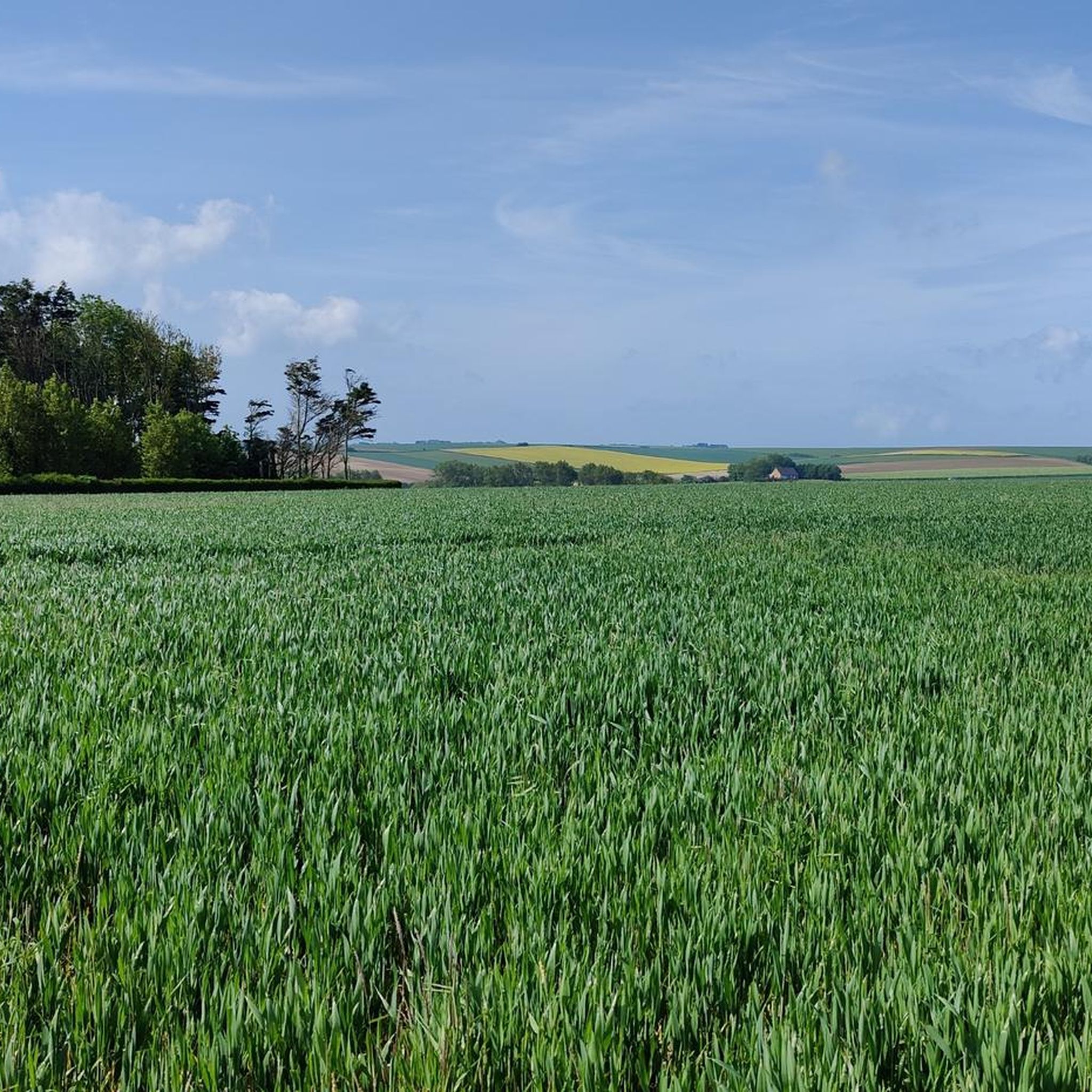
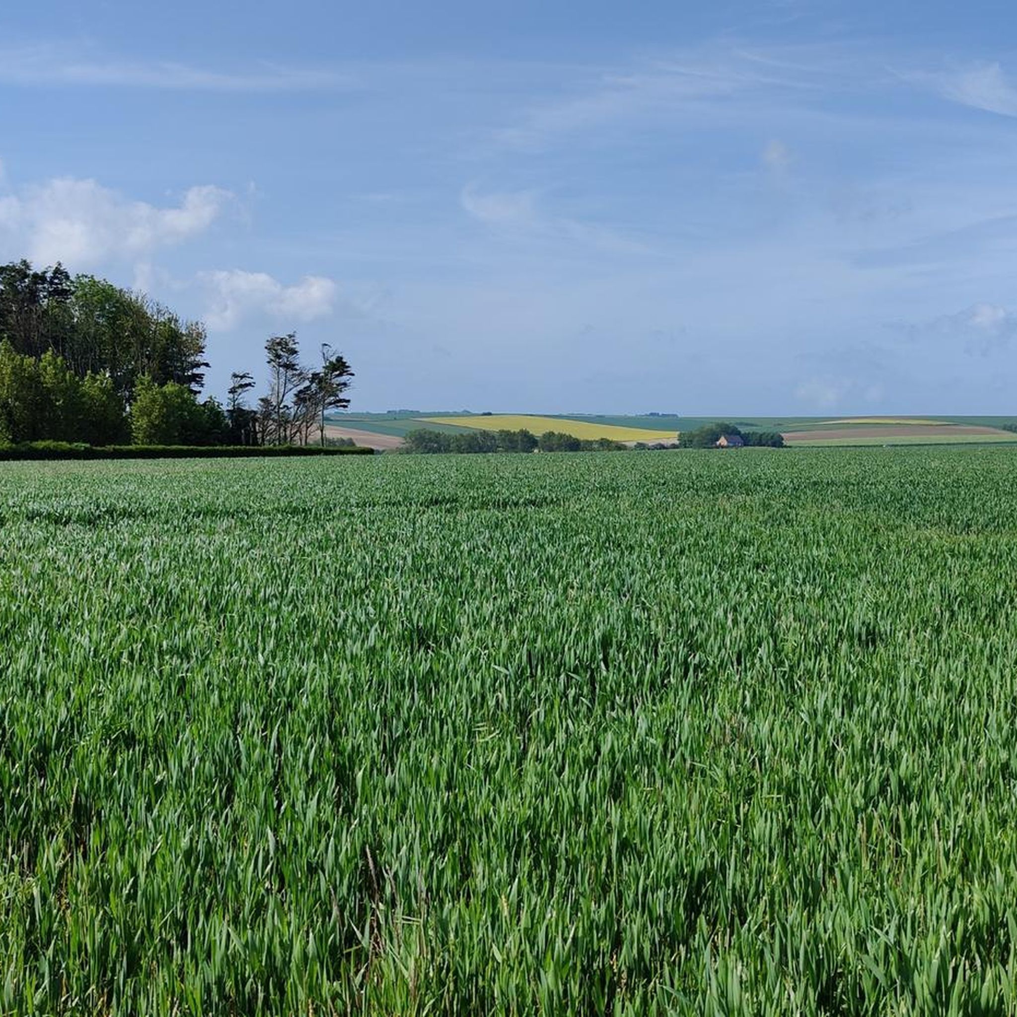
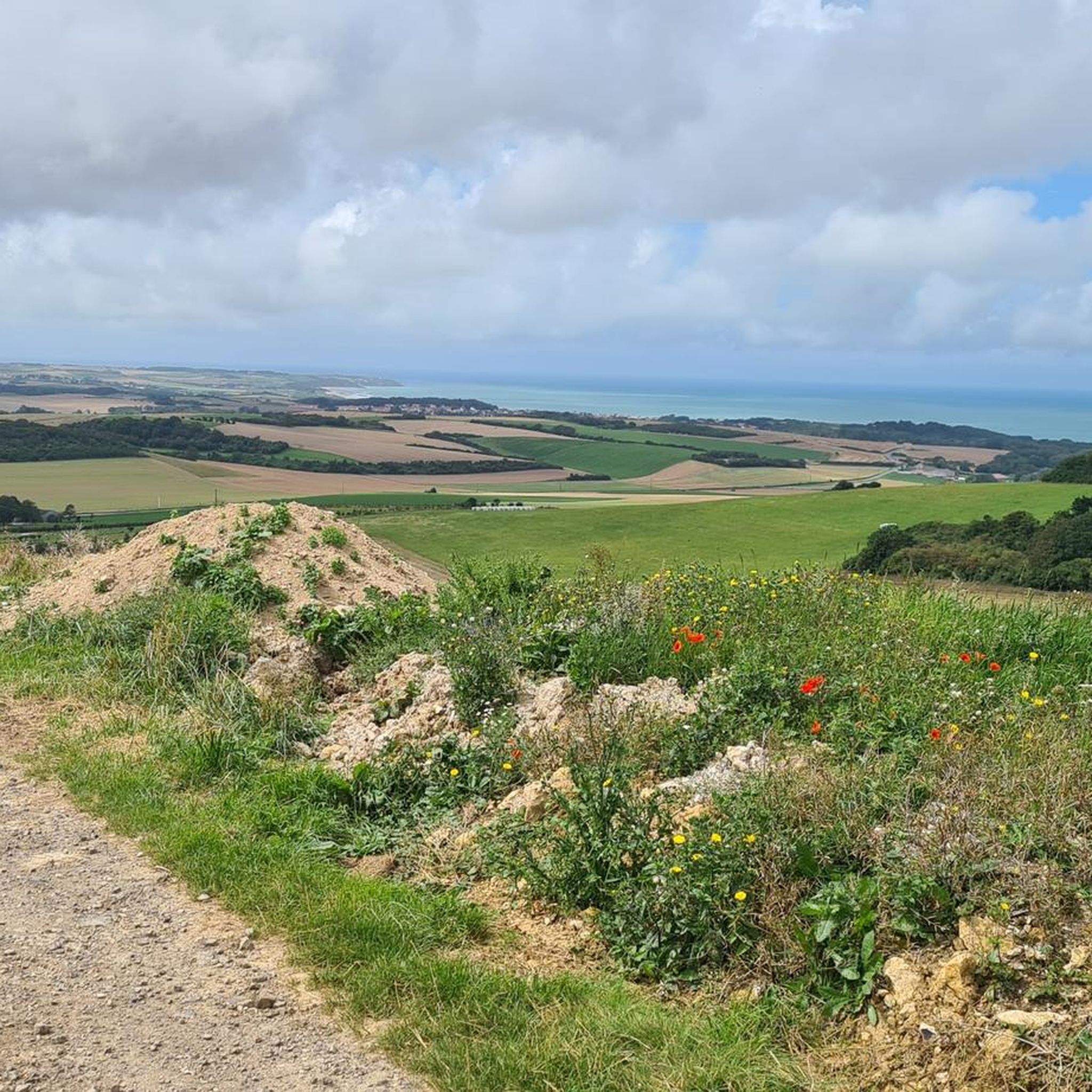
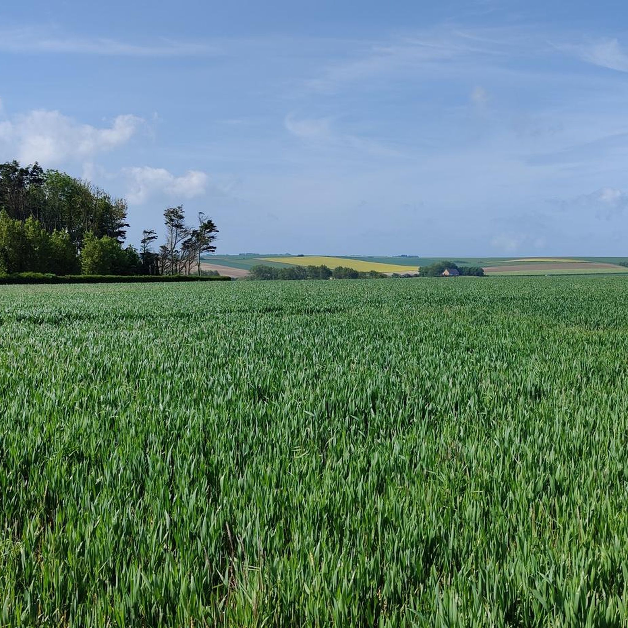
Mont de Couple is a small hill 163 meters above sea level. Its summit offers an exceptional view of the hinterland and the town of Wissant. In good weather, you can see the Strait of Dover, the White Cliffs of England, the Boulogne hinterland, and the Calais region.
1
0

It is a typical farm of the region, originally from 1633 and renovated in the 19th century. The farm is in a beautiful location at Cap Blanc Nez, a jewel of the Côte d'Opale. The property is surrounded by meadows, fields and heathland, and it is only a short distance from the sea. There are several gites (holiday homes) for 4 to 10 people, studios and 5 guest rooms in the outbuildings, all with independent entrances and private gardens.
8
0
Just above the hamlet of Le Tap Cul you have a viewpoint of the Cap Blanc Nez and its hinterland. You can keep looking at it.
9
0

Mont de Couple is the highest point in Boulonnais, at an altitude of 163 m. Along the way, you can admire the diverse flora and fauna of the nature reserve, as well as the remains of German bunkers from the Second World War. At the top, you'll be rewarded with breathtaking views of the coast and countryside. You will also be able to see on your right the majestic Cap Blanc-Nez, which is slightly lower than Mont de Couple.
6
0

Exactly the right place to build lots of bunkers, great view of England, a few information boards about the past would not be bad
0
0
Up here on the top you have a great view all around, boulders with directions, it was very windy today,
0
0

Frequently Asked Questions
How many running routes are available around Bonningues-Lès-Calais?
There are over 495 running routes in the Bonningues-Lès-Calais area. This includes a wide variety, with 59 easy routes, 356 moderate routes, and 80 more challenging trails, ensuring options for all fitness levels.
Are there easy running routes suitable for beginners in Bonningues-Lès-Calais?
Yes, Bonningues-Lès-Calais offers 59 easy running routes perfect for beginners or those looking for a relaxed jog. These paths typically feature gentler terrain and less elevation gain. A good starting point could be exploring the local surroundings on a route like the Running loop from Bonningues-lès-Calais.
What natural features or landmarks can I expect to see while jogging in the area?
The region is rich in natural beauty and historical landmarks. You can expect breathtaking panoramic views of the English Channel from the cliffs of Cape Blanc-Nez, explore the coastal paths near Cran d'Escalles, or pass by the historic Dover Patrol Monument. Inland, you'll find rolling hills and diverse countryside.
What is the typical terrain and elevation like on the running trails?
The terrain around Bonningues-Lès-Calais is quite varied. Coastal routes near Cap Blanc-Nez feature cliff-top paths and some sandy sections, often with significant ascents and descents. Inland, you'll find more rolling hills and countryside trails, which can include a mix of paved and unpaved surfaces. For example, the Mont de Couple – View of Cap Blanc-Nez loop from Saint-Inglevert involves over 240 meters of elevation gain.
Are there any circular running routes available?
Yes, many of the running routes in the area are circular, allowing you to start and finish at the same point. For instance, the popular Running loop from Saint-Inglevert is a moderate 7.7 km circular path that takes you through the scenic countryside.
What do other runners enjoy the most about jogging in Bonningues-Lès-Calais?
The running routes in Bonningues-Lès-Calais are highly rated by the komoot community, with an average score of 4.4 stars from over 200 reviews. Runners often praise the diverse landscapes, from stunning coastal views to peaceful inland trails, and the variety of routes suitable for different abilities. Over 12,000 runners have used komoot to explore this varied terrain.
Are there family-friendly running trails in the region?
Yes, many of the easier routes are suitable for families, offering accessible paths with less challenging terrain. Look for routes marked as 'easy' to find options that are generally flatter and shorter, providing a pleasant experience for all ages.
Can I bring my dog on the running trails?
Many trails in the Bonningues-Lès-Calais area are dog-friendly, especially those in natural, open spaces. However, it's always advisable to keep your dog on a leash, especially in nature reserves or areas with livestock, and to check local signage for any specific restrictions. Coastal paths and countryside trails are generally good options for running with your canine companion.
What is the best time of year for jogging in Bonningues-Lès-Calais?
The spring and autumn months generally offer the most pleasant conditions for jogging, with milder temperatures and beautiful scenery. Summer can also be excellent, particularly for coastal runs with a refreshing sea breeze, though it can get warmer. Winter runs are possible, but be prepared for potentially colder, windier, and wetter weather, especially along the exposed coastline.
Are there running routes that offer views of Cap Blanc-Nez?
Absolutely. The region is famous for its proximity to Cap Blanc-Nez. Routes like the Mont de Couple – View of Cap Blanc-Nez loop from Saint-Inglevert specifically highlight views towards this iconic cape, offering spectacular vistas of the cliffs and the English Channel.
Are there options for parking near the running trails?
Yes, many popular trailheads and starting points for running routes, especially those near attractions like Cap Blanc-Nez or in villages like Bonningues-Lès-Calais and Saint-Inglevert, typically have designated parking areas. It's recommended to check the specific route details on komoot for information on parking availability at the start of your chosen trail.
Most popular routes around Bonningues-Lès-Calais
Most popular attractions around Bonningues-Lès-Calais

Get inspired with the komoot mobile app


Explore more
Browse the best Running Trails & Routes in other regions.
