The best road cycling routes around Tréprel
4.4
(27)
888
riders
82
rides
Road cycling routes around Tréprel traverse a rural landscape in the Calvados department of Normandy, France. The area features varied terrain with altitudes ranging from approximately 130m to 246m within the municipality itself, but routes extend into the surrounding region, offering significant elevation changes. This environment provides a mix of rolling hills and natural features suitable for road cycling. The general presence of natural areas in the vicinity suggests a network of roads through varied scenery.
Best road cycling routes…
Last updated: July 5, 2026
4.5
(2)
26
riders
41.4km
01:54
450m
450m
Moderate road ride. Good fitness required. Mostly well-paved surfaces and easy to ride.
5.0
(1)
15
riders
47.7km
02:21
720m
720m
Moderate road ride. Good fitness required. Mostly well-paved surfaces and easy to ride.

Sign up for free
4.0
(1)
6
riders
46.1km
02:20
680m
670m
Moderate road ride. Good fitness required. Mostly well-paved surfaces and easy to ride.
5.0
(1)
14
riders
28.1km
01:21
380m
380m
Moderate road ride. Good fitness required. Mostly well-paved surfaces and easy to ride.
4
riders
58.6km
02:43
660m
660m
Moderate road ride. Good fitness required. Some segments of this route may be unpaved and difficult to ride.
Get access to more routes and recommendations from other explorers.
Sign up for free
Already have an account?
Our route recommendations are based on thousands of hikes, rides, and runs completed by other people on komoot.
Start today with a free account
Your next adventure awaits.
Login or Signup

Tips from the Community

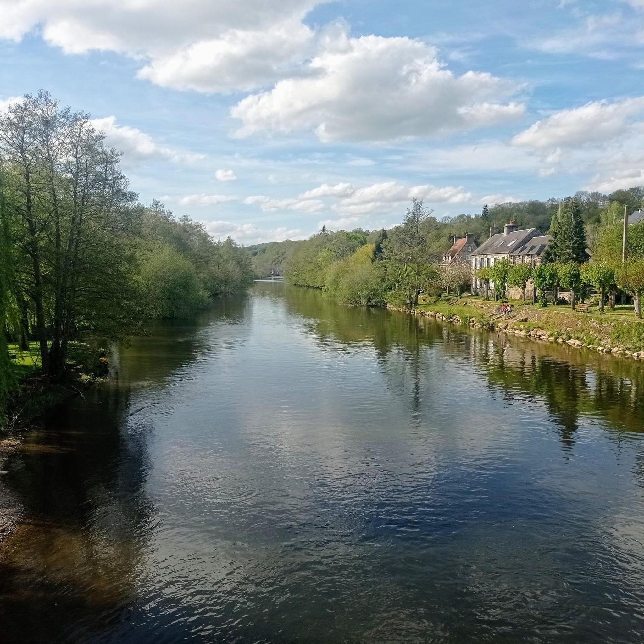
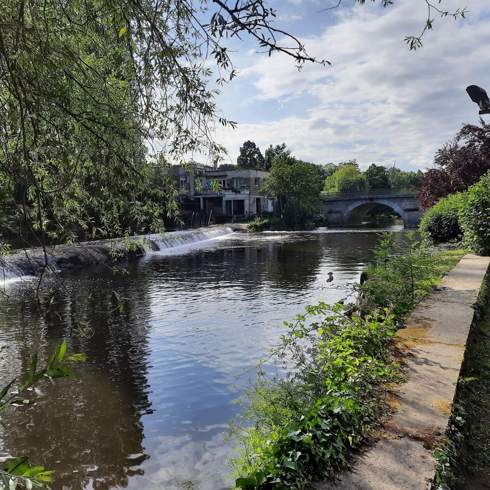
The town has two old market halls dating back to the 17th and 18th centuries. While one of them has been closed for renovation into a community hall, the second has remained open and hosts local events and hikers looking for a pleasant spot to picnic and rest.
0
0

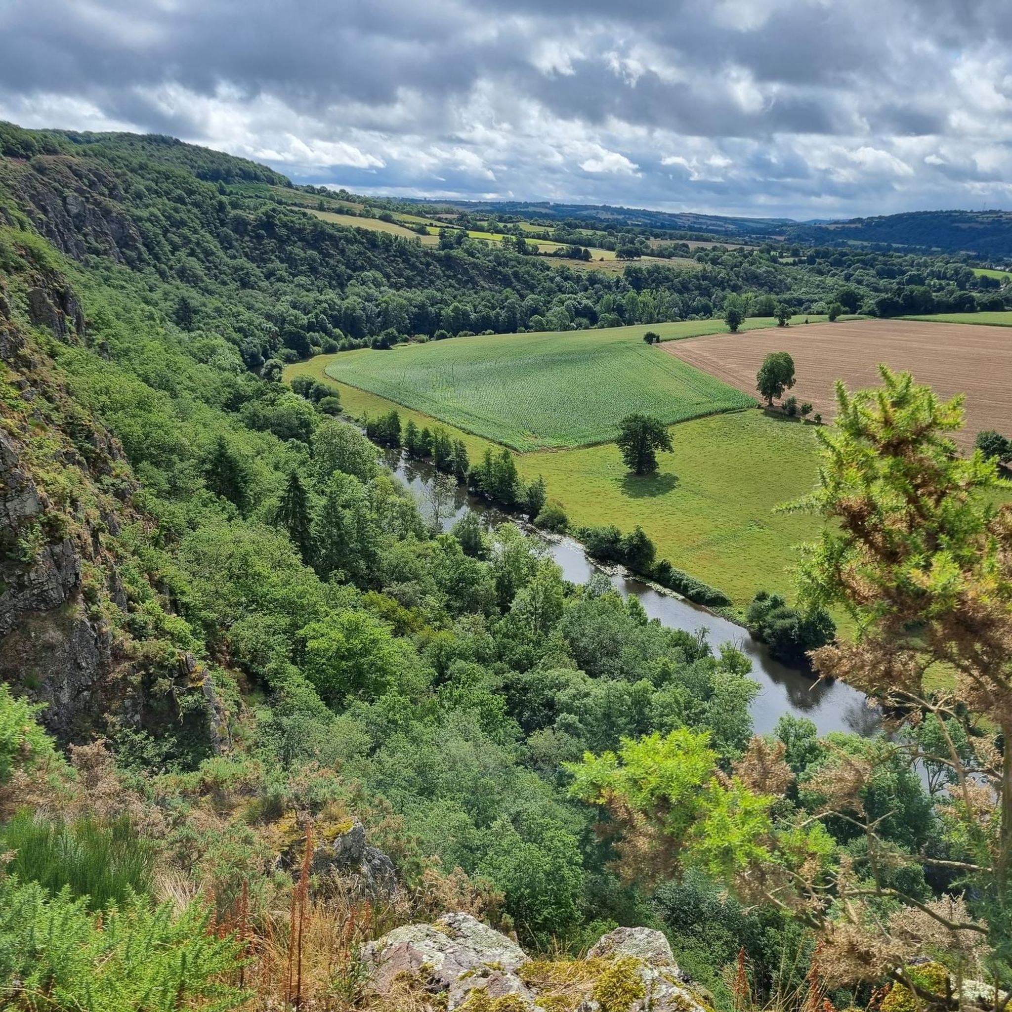
For those who are fond of mountainous landscapes in Normandy: the Suisse Normande.
0
0

2 small halls converted into a rest area for a well-deserved break
0
0
you can pass over it by taking the road to St Denis de Méré
0
0


A very pretty place that seemed completely deserted on Sunday. Many artists must have painted the beauty of the place and the landscape here.
0
0

Frequently Asked Questions
What kind of terrain can I expect on road cycling routes around Tréprel?
Road cycling routes around Tréprel traverse a rural landscape in the Calvados department of Normandy, France. You'll find varied terrain with rolling hills and river valleys. Within the municipality, altitudes range from approximately 130m to 246m, but routes extend into the surrounding region, offering significant elevation changes and a mix of natural features.
How many road cycling routes are available in the Tréprel area?
There are nearly 90 road cycling routes available around Tréprel, catering to various skill levels. This includes 8 easy routes, 71 moderate routes, and 10 difficult routes, ensuring options for every cyclist.
Are there any notable landmarks or scenic viewpoints along the road cycling routes?
Yes, several routes offer access to significant landmarks and scenic viewpoints. For instance, the La Roche d'Oëtre – Charming panorama loop from Ménil-Vin includes the notable La Roche d'Oëtre, providing expansive vistas. You might also encounter the Clécy Viaduct on routes like the Clécy Viaduct – Clécy Viaduct loop from Pont-d'Ouilly.
What do other road cyclists say about the routes in Tréprel?
The road cycling routes in Tréprel are highly rated by the komoot community, with an average score of 4.5 stars from over 10 reviews. Cyclists often praise the varied terrain, the charming panoramas, and the tranquil rural roads that define the area.
What is a good moderate-difficulty route for road cycling in the area?
A popular moderate route is the Charming panorama – Vallon de la Vère loop from Ménil-Hubert-sur-Orne. This 25.6-mile (41.1 km) trail offers panoramic views through the Vallon de la Vère and typically takes about 1 hour 52 minutes to complete.
Are there any longer road cycling routes that explore the wider Suisse Normande region?
Absolutely. For a longer ride through the heart of Suisse Normande, consider the Charming panorama – Saint-Rémy-sur-Orne loop from Pont-d'Ouilly. This route is 39.9 miles (64.1 km) long and offers a comprehensive experience of the region's landscapes.
What is the best time of year for road cycling around Tréprel?
The Calvados region, including Tréprel, is generally suitable for outdoor activities across many seasons. Given the rural setting and varied terrain, spring and autumn often provide pleasant temperatures and beautiful scenery. Summer can also be enjoyable, though it's always wise to check local weather conditions before heading out.
Are there any historical sites or castles accessible by road bike?
While the immediate vicinity of Tréprel is rural, the broader region features historical sites. For example, you can find several castles nearby, such as William the Conqueror's Castle and Château Ganne. While these are primarily historical exploration sites, some road routes may pass near them, offering a glimpse into the region's heritage.
Where can I find information about parking for cyclists in Tréprel?
Specific dedicated cyclist parking information for Tréprel is limited. However, as a small rural municipality, you may find general public parking options in the village center or near starting points of popular routes. It's advisable to check local signage upon arrival or consult local tourist information for the most up-to-date parking advice.
Is it possible to reach Tréprel by public transport with a bicycle?
Tréprel is a small, rural municipality, and direct public transport links specifically catering to cyclists with bikes may be limited. The Calvados department generally has regional transport options, but it's recommended to check the specific routes and bicycle policies of local bus or train services in advance, especially if traveling from larger towns in Normandy.
Are there any routes that pass by significant natural features?
Many routes in the Tréprel area highlight the natural beauty of the Suisse Normande. The Charming panorama – Vallon de la Vère loop from Ménil-Hubert-sur-Orne, for instance, takes you through the scenic Vallon de la Vère. The region is characterized by its wild and unspoilt nature, offering views of river valleys and rolling hills.
What kind of elevation changes can I expect on road cycling routes?
The routes around Tréprel offer varied elevation changes. While the municipality itself ranges from 130m to 246m, routes extending into the surrounding Suisse Normande region can feature significant climbs and descents. For example, the La Roche d'Oëtre – Charming panorama loop from Ménil-Vin includes over 700 meters of elevation gain.
Most popular attractions around Tréprel

Get inspired with the komoot mobile app


Explore more
Browse the best Road cycling routes in other regions.
