The best walks and hikes around Surrain
4.6
(775)
5,639
hikers
201
hikes
Hiking around Surrain offers diverse routes along the Normandy coast, characterized by gentle hills and views of the Seine Bay. The landscape features a mix of open coastal paths, agricultural fields, and small woodlands. Elevation changes are generally moderate, making the area accessible for various hiking abilities.
Best hiking trails around Surrain
- The most popular hiking route is Seine Bay – Swords of peace loop from Colleville-sur-Mer, a 9.0 miles (14.5 km) trail that takes 3 hours 51 minutes to complete. This moderate route offers expansive views of the coastline.
- Another top favourite among local hikers is Swords of peace – Seine Bay loop from Colleville-sur-Mer, a moderate 9.7 miles (15.6 km) path. This route navigates coastal terrain with varied scenery.
- Local hikers also love the Plage des Braves – Seine Bay loop from Colleville-sur-Mer, an 11.6 miles (18.6 km) trail leading through coastal areas and open landscapes, often completed in about 4 hours 55 minutes.
- Hiking around Surrain is defined by coastal paths, gentle hills, and views of the Seine Bay. The network offers options for different ability levels, from easy strolls to longer, moderate excursions.
- The routes in Surrain are highly rated by the komoot community with an average score of 4.6 stars from over 600 reviews. More than 4000 hikers have used komoot to explore Surrain's varied terrain.
Last updated: July 5, 2026
4.8
(53)
241
hikers
8.73km
02:18
80m
80m
Moderate hike. Good fitness required. Easily-accessible paths. Suitable for all skill levels.
4.6
(27)
159
hikers
19.1km
05:02
180m
180m
Hard hike. Very good fitness required. Easily-accessible paths. Suitable for all skill levels.

Sign up for free
18
hikers
15.6km
04:10
180m
180m
Moderate hike. Good fitness required. Easily-accessible paths. Suitable for all skill levels.
5.0
(1)
11
hikers
6.85km
01:49
70m
70m
Easy hike. Great for any fitness level. Easily-accessible paths. Suitable for all skill levels.
4.0
(2)
10
hikers
4.34km
01:13
80m
80m
Easy hike. Great for any fitness level. Easily-accessible paths. Suitable for all skill levels.
Get access to more routes and recommendations from other explorers.
Sign up for free
Already have an account?
Our route recommendations are based on thousands of hikes, rides, and runs completed by other people on komoot.
Start today with a free account
Your next adventure awaits.
Login or Signup

Tips from the Community

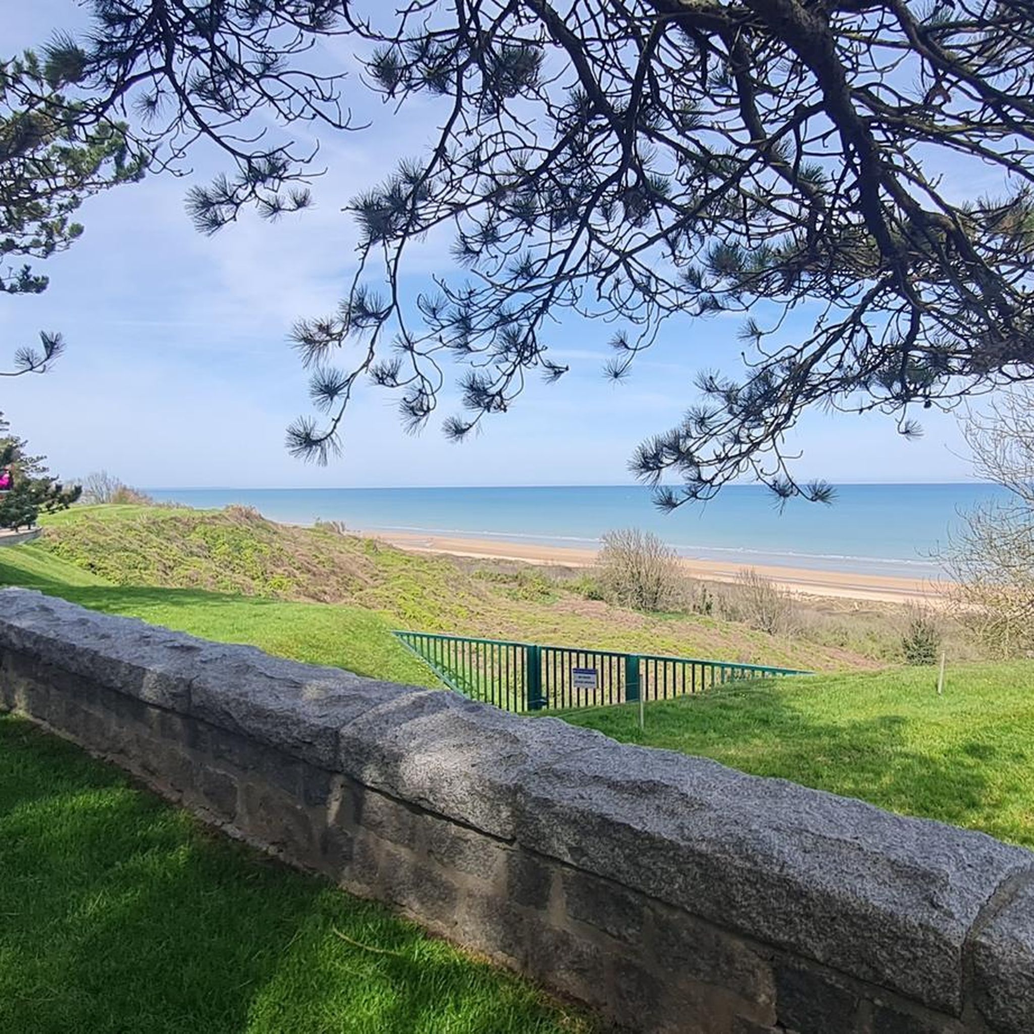
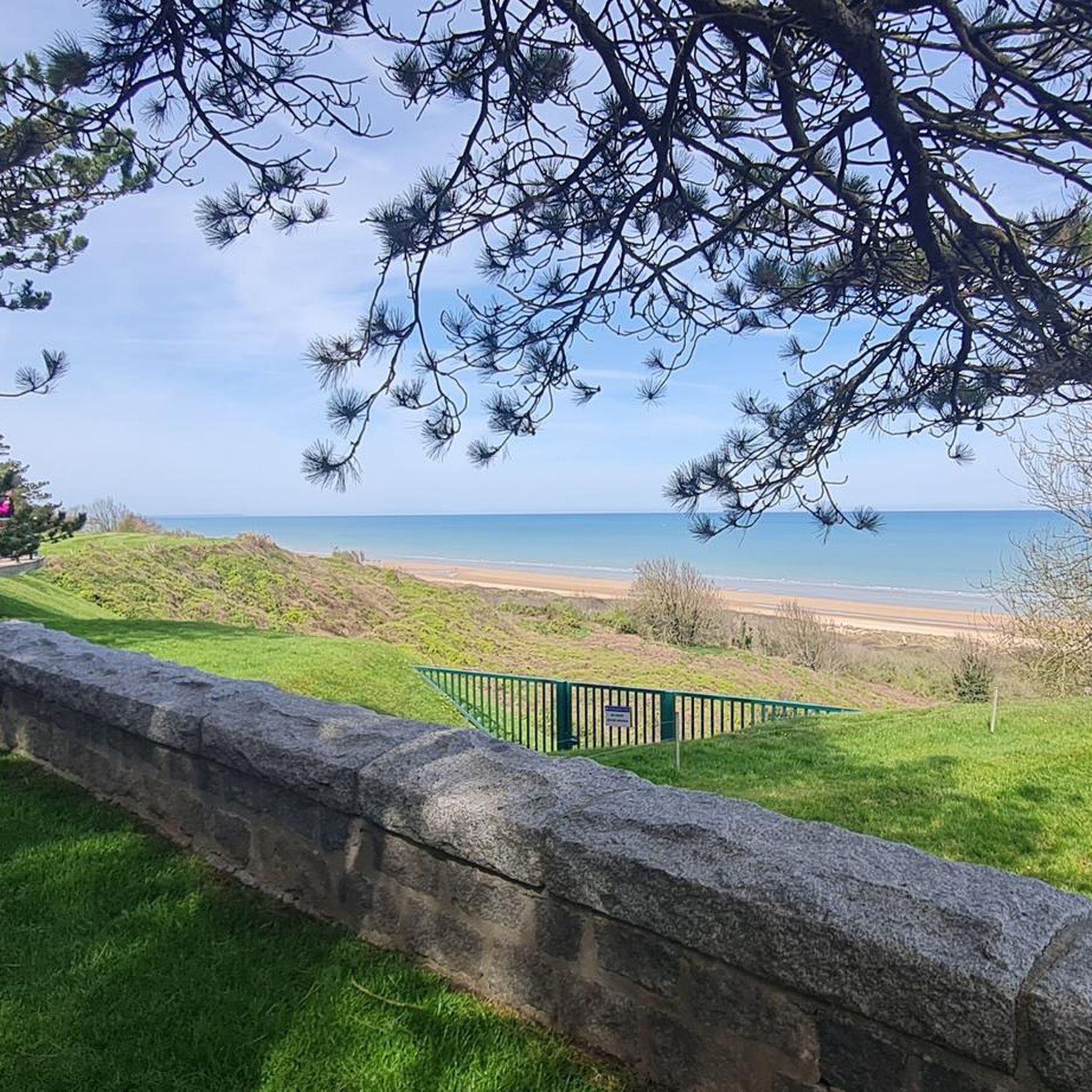
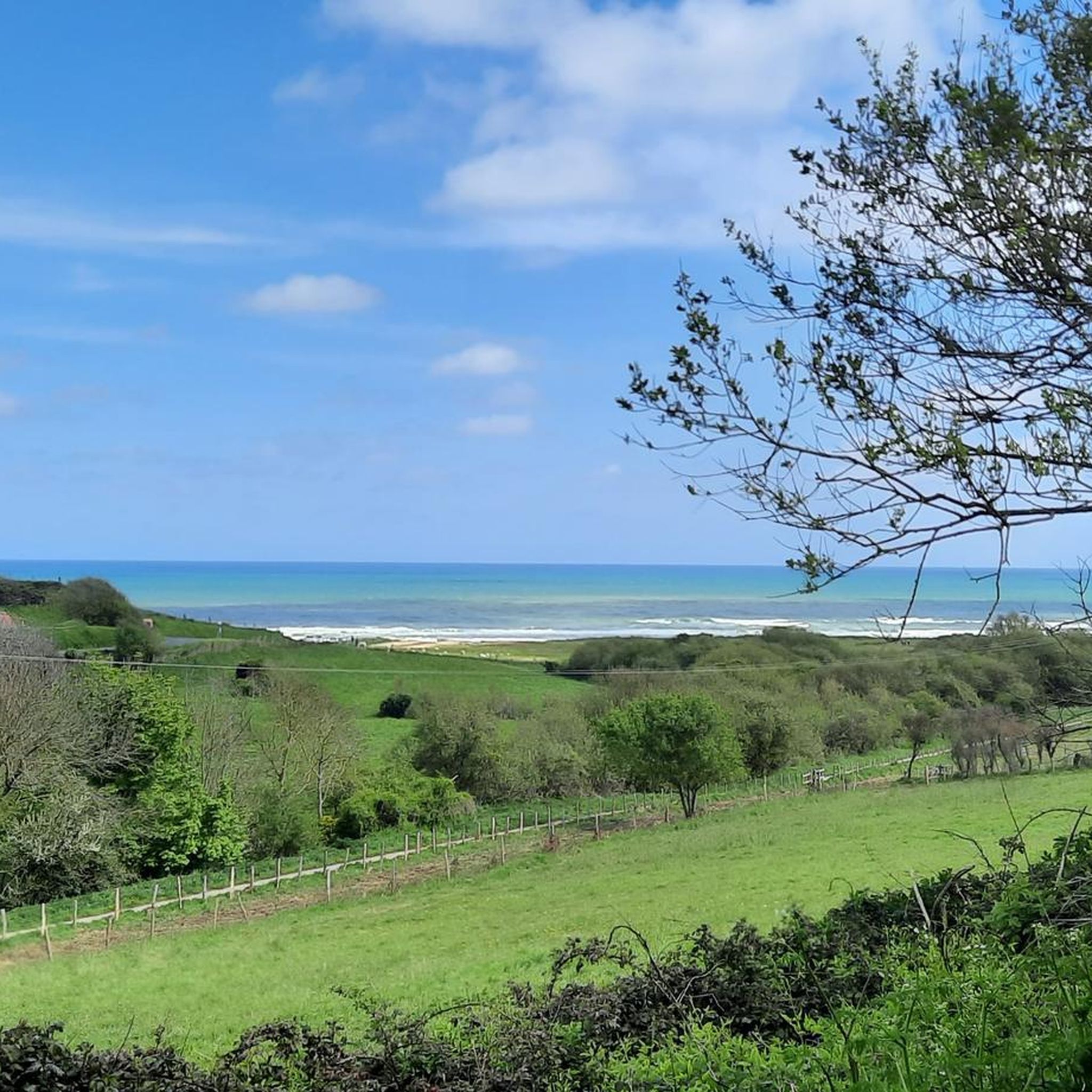
A short, grassy singletrack trail leads to the beach. There's a technical section upstream 🪨
0
0

The memorial was erected in 1956 to honor the brave soldiers of the 1st U.S. Infantry Division, known as the "Big Red One," who fought in the Easy Red sector during the D-Day landings on June 6, 1944. The memorial consists of an obelisk-like pillar of gray granite surrounded by a circular bench. Engraved on the obelisk are the names of 627 fallen soldiers who fell between June 6 and July 24, 1944. It stands on the site of the former German resistance position WN62, one of the strongest defensive positions in the area.
1
0
The Plage des Braves ("Beach of the Brave") lies directly in front of the Normandy American Cemetery and is the part of Omaha Beach where American troops landed on D-Day on June 6, 1944. The beach now stands as a silent memorial to the courage and sacrifice of the soldiers who fought here, suffering heavy losses, to end the German occupation. At the edge of the beach stands the Plage des Braves Memorial, a simple but impressive monument commemorating the valor of American soldiers. It is estimated that between 2,000 and 2,500 American soldiers died in the Omaha Beach landings. This number includes those who died directly during the landings and in the immediate fighting around the beach.
1
0
GPS coordinates: N 49° 21.616, W 0° 50.876 The monument of the 5th Engineer Special Brigade honors the US Combat Engineers who fought during the Normandy landings on June 6, 1944. It stands on the site of a former German strongpoint and consists of a concrete base with granite and bronze plaques, which specifically honor the subunits of the brigade – including the 299th Engineer Combat Battalion. The 5th Engineer Special Brigade was responsible for the Omaha Beach sector. Their main tasks included clearing mines and obstacles, creating lanes for vehicles, rescuing the wounded, and supporting the infantry during the landings. Despite heavy shelling, the brigade succeeded in securing the landing zones, thereby enabling the supply and movement of Allied troops. The monument commemorates their courage and sacrifices.
1
0
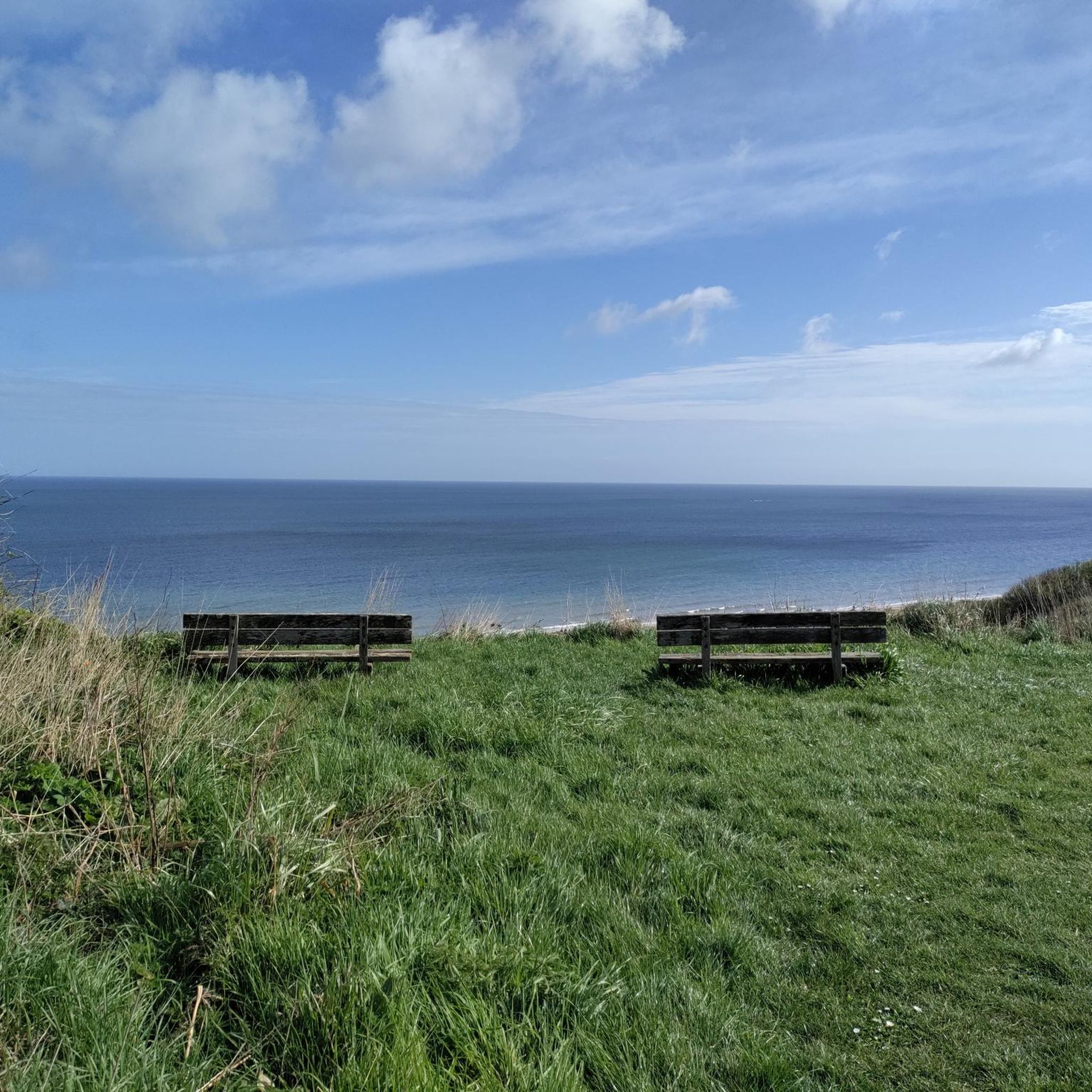
From above Omaha Beach, visitors can enjoy a panoramic view of the landing beaches, complemented by an overview panel. This shows the positions of the units, the routes of the landing ships, and the movements of troops inland, allowing them to vividly retrace the course of the D-Day landings.
2
0
The monument titled “The Spirit of American Youth Rising From the Waves” is surrounded by a semicircular row of columns. At the ends of the colonnade, two loggias display illustrated maps in English and French: the southern one depicts the Normandy landings, the northern one the advance of the Allies until the German surrender in 1945.
1
0

nice way to connect the highlights
0
0

a memorial consisting of three monumental steel sculptures installed on Omaha Beach in Saint-Laurent-sur-Mer, France, commemorating the D-Day landings of June 6, 1944. The sculptures represent Wings of Hope, Standing Liberty, and Wings of Fraternity, each symbolizing different aspects of courage and sacrifice demonstrated during the Allied invasion
0
0
Frequently Asked Questions
How many hiking trails are there in Surrain?
Surrain offers a wide variety of hiking options, with nearly 200 routes available. These range from easy strolls to more challenging excursions, ensuring there's something for every hiker.
Are there easy hiking trails suitable for beginners or families in Surrain?
Yes, Surrain is very welcoming for beginners and families, with over 120 easy routes. A great option is the Camping Le Robinson – View of Colleville-sur-Mer loop from Aure sur Mer, which is just under 5 km and offers pleasant views with minimal elevation gain.
What about more challenging hikes in the Surrain area?
While most routes are easy to moderate, there are a few more challenging options for experienced hikers. The region's terrain, characterized by gentle hills and coastal paths, means that 'challenging' often refers to longer distances rather than steep ascents. There are 6 difficult routes available for those seeking a greater endurance test.
What kind of views can I expect on hikes around Surrain?
Hikes around Surrain are defined by expansive views of the Seine Bay and the Normandy coastline. You'll encounter a mix of open coastal paths, agricultural fields, and small woodlands, offering diverse scenery throughout your journey.
Are there circular hiking routes available in Surrain?
Yes, many of the trails in Surrain are circular, allowing you to start and end at the same point. For example, the WN62 bunker – Seine Bay loop from Colleville-sur-Mer is an easy 6.8 km circular route that takes you past historical sites and offers coastal views.
When is the best time of year to go hiking in Surrain?
The best time to hike in Surrain is generally from spring to early autumn (April to October). During these months, the weather is milder and more predictable, making coastal walks particularly enjoyable. Summer offers longer daylight hours, while spring and autumn provide pleasant temperatures and fewer crowds.
Can I bring my dog on hikes in Surrain?
Many trails in Surrain are dog-friendly, especially those on public footpaths and coastal routes. However, it's always advisable to keep your dog on a leash, particularly in agricultural areas, near livestock, or in nature reserves to protect local wildlife and respect other hikers.
What interesting landmarks or attractions can I see while hiking near Surrain?
The Surrain area is rich in history and natural beauty. Along your hikes, you might encounter significant sites such as the Saint-Siméon Chapel (ruins) on Omaha Beach, the Omaha Beach Memorial Monuments, or enjoy the scenic Seine Bay itself. The Port-en-Bessin-Huppain Harbour is also a notable nearby attraction.
How long do hikes near Surrain typically take?
Hike durations in Surrain vary widely depending on the route's length and your pace. Easy walks can be completed in under 2 hours, while moderate trails often take 3-5 hours. For example, the easy Camping Le Robinson – View of Colleville-sur-Mer loop takes about 1 hour 18 minutes, while longer moderate routes can extend to nearly 5 hours.
Where can I find parking for hiking trails near Surrain?
Parking is generally available in or near the starting points of many trails, especially in villages like Colleville-sur-Mer or near popular coastal access points. Look for designated parking areas in town centers or small car parks near beach access points. It's always a good idea to check specific route details for parking recommendations.
What do other hikers say about the trails in Surrain?
The trails in Surrain are highly regarded by the komoot community, boasting an average rating of 4.6 stars from over 600 reviews. Hikers frequently praise the stunning coastal views, the historical significance of the area, and the well-maintained paths that make for enjoyable outings.
Are there options for winter hiking in Surrain?
Winter hiking in Surrain is possible, though conditions can be colder and windier, especially along the coast. The relatively low elevation means snow is rare, but paths can be muddy after rain. Dressing in layers and checking local weather forecasts is essential for a comfortable winter hike.
Most popular attractions around Surrain

Get inspired with the komoot mobile app


Explore more
Browse the best Hikes in other regions.
