The best walks and hikes around La Bouillie
4.6
(2118)
13,052
hikers
298
hikes
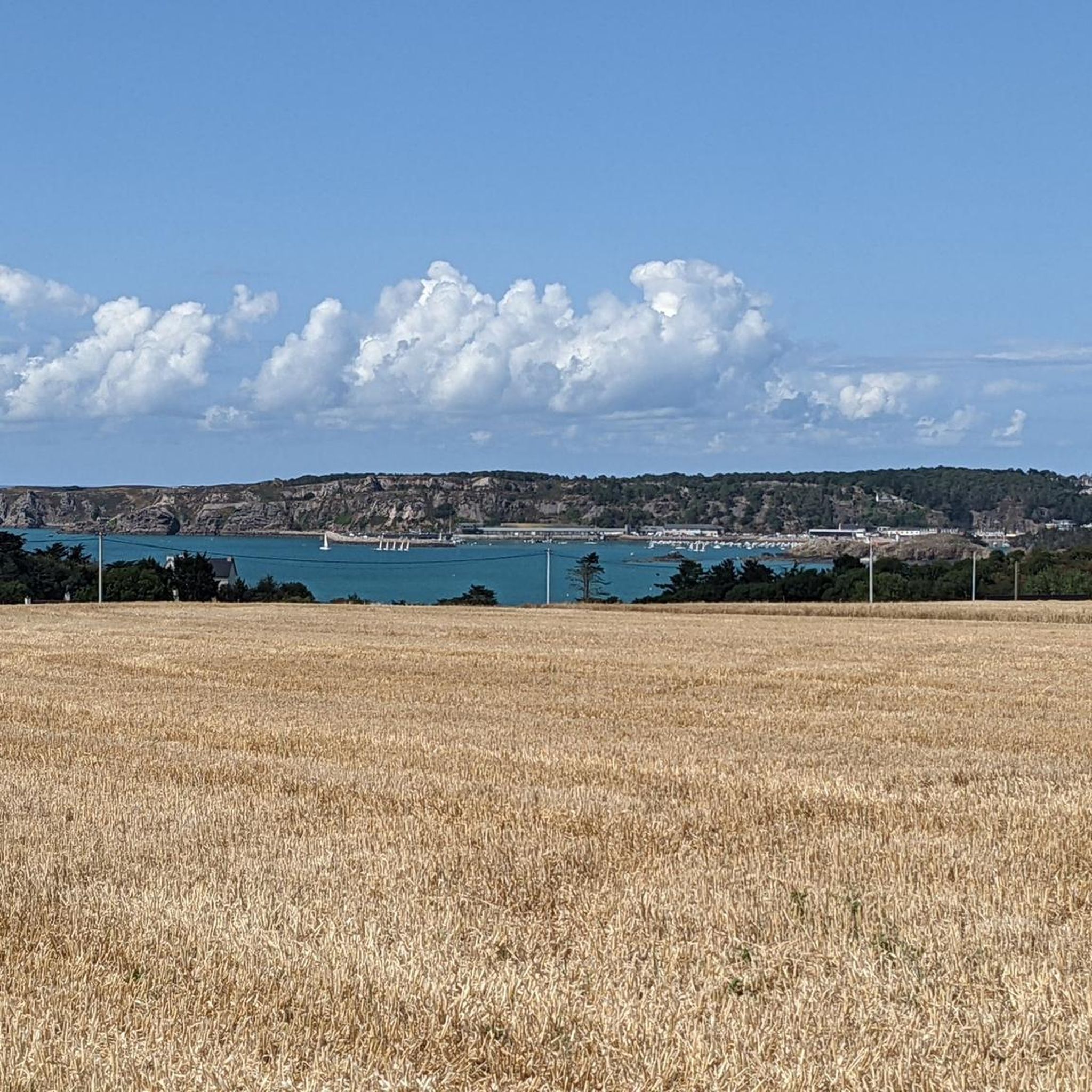
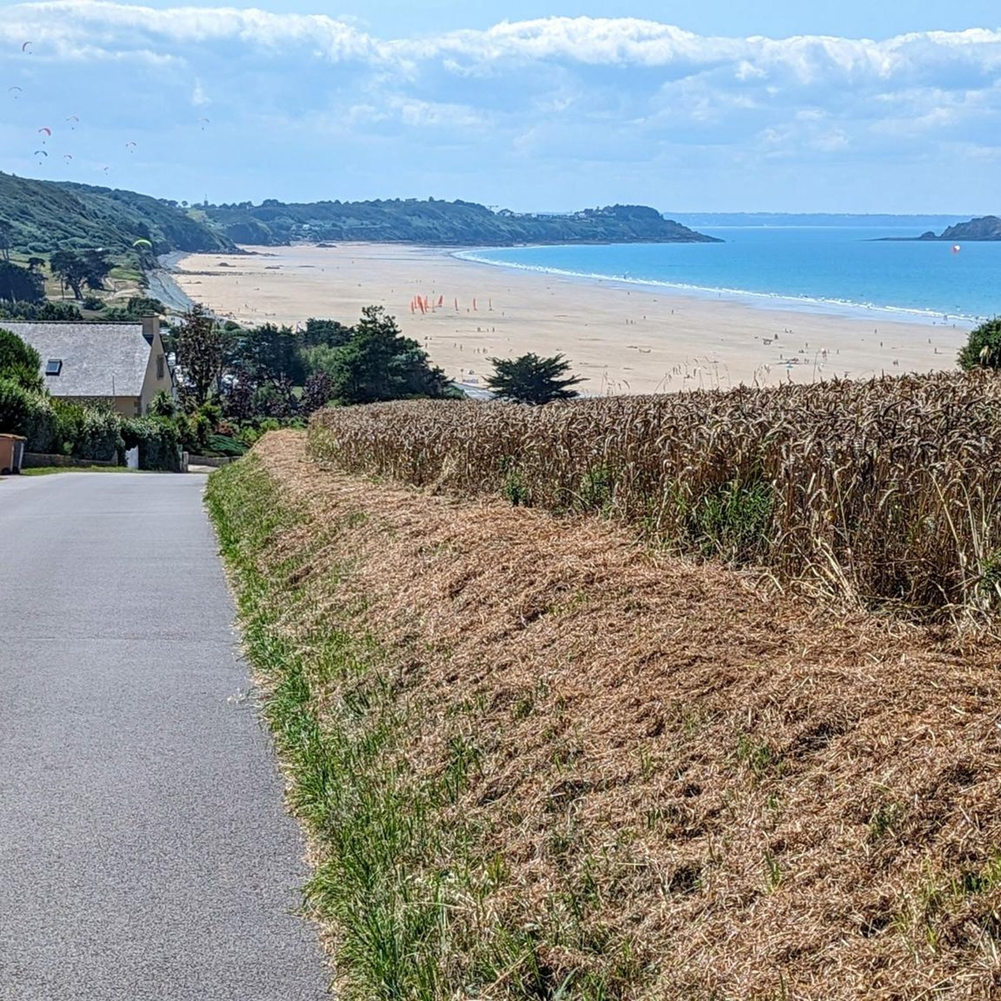
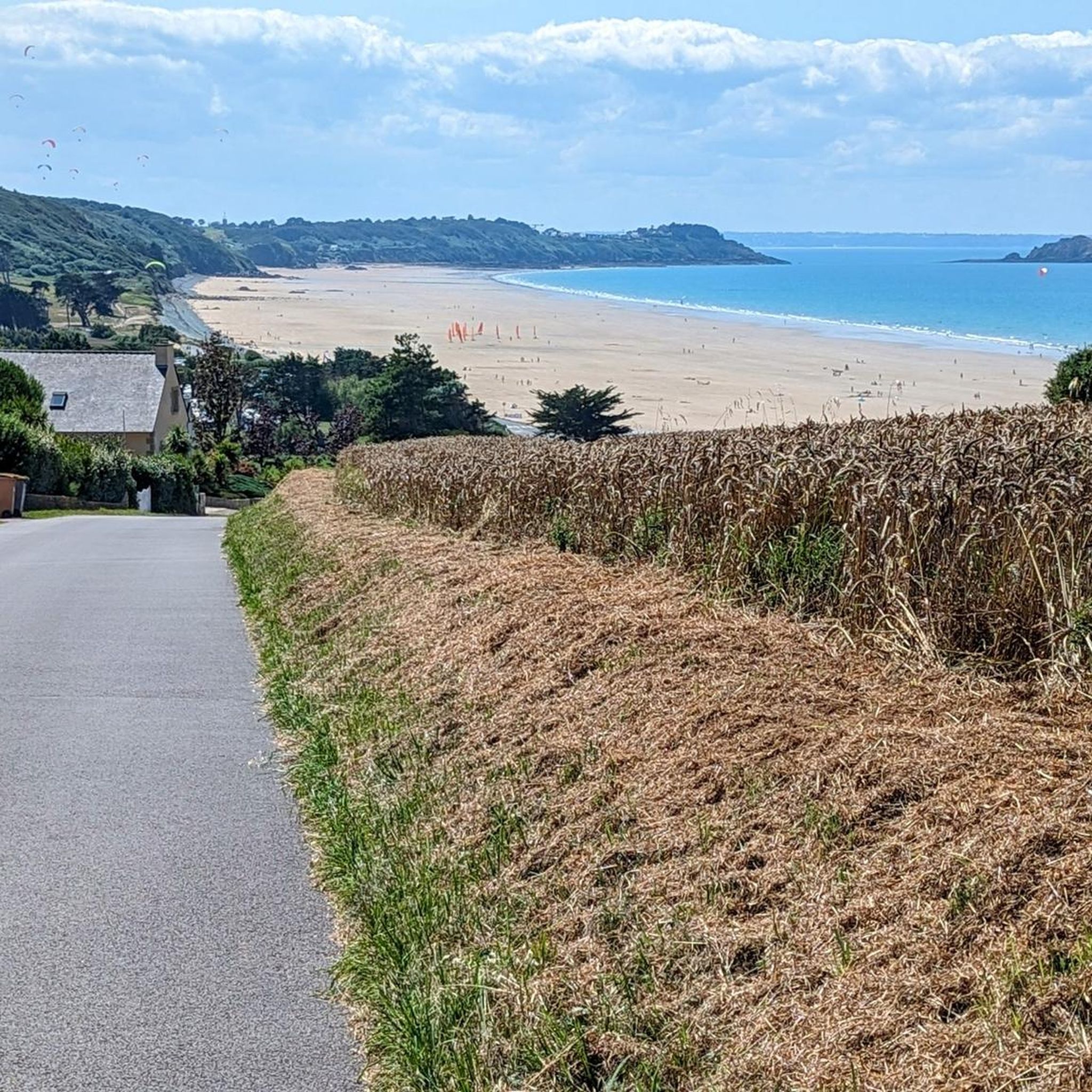
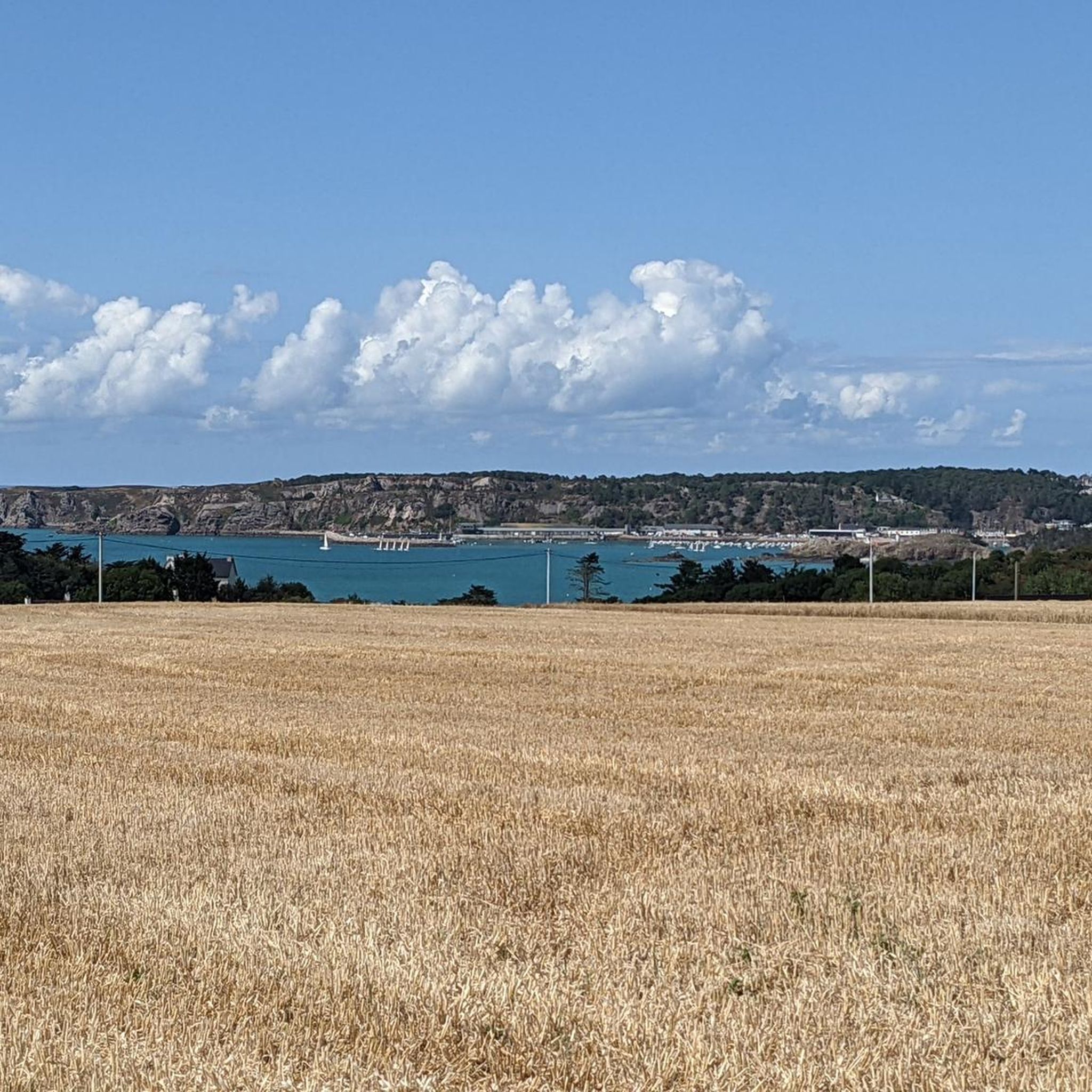
Hiking around La Bouillie offers a variety of routes exploring the region's coastal and inland landscapes. The area features numerous beaches, prominent headlands, and inland lakes, providing diverse scenery for hikers. Terrain generally includes coastal paths with some elevation changes, alongside more sheltered routes around lakes. The trails are suitable for various fitness levels, ranging from easy walks to more challenging coastal excursions.
Best hiking trails around La Bouillie
- The most popular hiking route is Ville Berneuf Beach – Pointe…
Last updated: July 5, 2026
4.7
(25)
208
hikers
19.2km
05:14
290m
290m
Hard hike. Very good fitness required. Easily-accessible paths. Suitable for all skill levels.
5.0
(33)
294
hikers
8.33km
02:16
120m
120m
Moderate hike. Good fitness required. Easily-accessible paths. Suitable for all skill levels.

Sign up for free
4.5
(17)
110
hikers
8.25km
02:14
110m
110m
Moderate hike. Good fitness required. Easily-accessible paths. Suitable for all skill levels.
5.0
(1)
82
hikers
3.11km
00:48
10m
10m
Easy hike. Great for any fitness level. Easily-accessible paths. Suitable for all skill levels.
4.1
(7)
30
hikers
7.65km
02:03
90m
90m
Moderate hike. Good fitness required. Easily-accessible paths. Suitable for all skill levels.
Get access to more routes and recommendations from other explorers.
Sign up for free
Already have an account?
Our route recommendations are based on thousands of hikes, rides, and runs completed by other people on komoot.
Start today with a free account
Your next adventure awaits.
Login or Signup

Tips from the Community

Low naturist attendance on the north of the beach, in the hollow of the cliffs.
0
0


Pointe des Quatre Vents is a small, distinctive headland west of Erquy. As its name—"Headland of the Four Winds"—suggests, it is particularly windswept and open, giving the coastline a rugged, pristine appearance.
2
0
The Pointe d'Erquy is a striking headland on the north coast, characterized by pink sandstone cliffs, open heathland, and low coastal shrubs. From the cliffs, sweeping views of the sea, offshore cliffs, and bays open up. It lies within the Cap d'Erquy - Cap Fréhel Nature Reserve and provides a habitat for seabirds and protected flora. This section is part of the GR34 coastal path and is particularly scenic at low tide, when rocky islands and tidal pools become visible.
1
0
Anse de Port Blanc is accessible via the GR34, Brittany's famous coastal hiking trail. The bay is surrounded by steep cliffs of distinctive pink sandstone, which plunge dramatically into the sea.
2
0

Beautiful scenery and great for hiking or trail running 😉
0
0

a pretty beach typical of the Penthièvre coast
0
0

Frequently Asked Questions
How many hiking trails are available around La Bouillie?
La Bouillie offers a wide variety of hiking experiences, with over 300 routes recorded on komoot. These trails explore the region's diverse coastal and inland landscapes.
What kind of terrain can I expect on hikes in La Bouillie?
The terrain in La Bouillie is quite varied. You can expect coastal paths with some elevation changes, leading past prominent headlands and sandy beaches. Inland, there are more sheltered routes around tranquil lakes. The region combines rugged coastal beauty with serene natural areas.
Are there easy hiking options for beginners or families in La Bouillie?
Yes, La Bouillie is very welcoming for beginners and families, with over 170 easy routes available. These trails often feature gentler gradients and shorter distances, perfect for a leisurely stroll or a family outing. Many explore the charming surroundings of inland lakes.
Can I find challenging hikes in La Bouillie?
Absolutely. For those seeking a more strenuous adventure, La Bouillie offers 13 difficult routes. These often involve longer distances and more significant elevation changes, particularly along the coast, providing extensive views and a good workout. An example is the Ville Berneuf Beach – Notre Dame de la Garde loop from Pléneuf.
Are there circular hiking routes available in La Bouillie?
Yes, many of the hiking routes in La Bouillie are circular, allowing you to start and end at the same point without retracing your steps. This is ideal for exploring different facets of the landscape. For instance, the Great Blue Lake – panoramic trail loop from Erquy is a popular circular option.
What are some scenic viewpoints or natural attractions to see while hiking?
La Bouillie boasts several scenic highlights. You can enjoy breathtaking views from Pointe des Quatre Vents (Cap d’Erquy) or Three Stones Point. The Great Blue Lake is another beautiful natural feature, and the Cap Fréhel Coast offers dramatic coastal scenery.
Are there any beaches accessible via hiking trails?
Yes, the region is known for its beautiful beaches, many of which are integrated into hiking routes. You can hike to and along Guen Beach or Saint-Michel Beach, enjoying the coastal scenery and fresh sea air. The Guen Beach – Great Blue Lake loop from Erquy combines beach access with an inland lake journey.
What is the best time of year to go hiking in La Bouillie?
The best time for hiking in La Bouillie is generally from spring to autumn (April to October) when the weather is milder and the days are longer. The coastal paths can be particularly enjoyable in late spring and early autumn, avoiding the peak summer crowds while still offering pleasant temperatures.
Are the trails in La Bouillie suitable for dogs?
Many trails in La Bouillie are dog-friendly, allowing you to explore with your canine companion. However, it's always advisable to check local signage for any specific restrictions, especially in nature reserves or protected coastal areas, and to keep your dog on a leash where required.
Where can I find parking for hiking trails in La Bouillie?
Parking is generally available at common starting points for popular trails, particularly near towns like Erquy or Pléneuf, and at major attractions or beaches. Look for designated parking areas near trailheads, but be aware that these can fill up quickly during peak season.
What do other hikers say about the trails in La Bouillie?
The hiking trails in La Bouillie are highly regarded by the komoot community, with an average rating of 4.6 stars from over 1,800 reviews. Hikers often praise the diverse scenery, combining stunning coastal views with peaceful inland lakes, and the variety of routes suitable for all fitness levels.
Are there less crowded hiking options in La Bouillie?
While popular coastal routes can attract many visitors, you can often find quieter trails by exploring the inland areas, particularly around the smaller lakes and rural paths. Early mornings or weekdays outside of peak season are also good times to experience the trails with fewer people.
Most popular routes around La Bouillie
Most popular attractions around La Bouillie

Get inspired with the komoot mobile app


Explore more
Browse the best Hikes in other regions.
