The best walks and hikes around Bissert
4.5
(306)
1,237
hikers
92
hikes
Hiking around Bissert offers routes through a landscape characterized by gentle rolling hills, agricultural fields, and sections alongside canals. The region features a mix of open countryside and forested areas, providing varied terrain for outdoor activities. Elevation changes are generally moderate, with some routes including minor ascents.
Best hiking trails around Bissert
- The most popular hiking route is Canal next to the campsite – Old oak loop from Altwiller, a 11.1 miles (17.9 km) trail that takes 4 hours…
Last updated: November 2, 2026
5.0
(3)
12
hikers
17.9km
04:41
140m
140m
Moderate hike. Good fitness required. Easily walkable paths.
4.3
(3)
7
hikers
19.6km
05:13
200m
200m
Hard hike. Very good fitness required. Easily walkable paths.

5.0
(1)
6
hikers
16.4km
04:17
120m
120m
Moderate hike. Good fitness required. Easily walkable paths.
4.3
(3)
9
hikers
12.2km
03:12
100m
100m
Moderate hike. Good fitness required. Easily walkable paths.
5
hikers
Easy hike. Easily walkable paths.
Get access to more routes and recommendations from other explorers.
Already have an account?
Our route recommendations are based on thousands of hikes, rides, and runs completed by other people on komoot.
Start today with a free account
Your next adventure awaits.



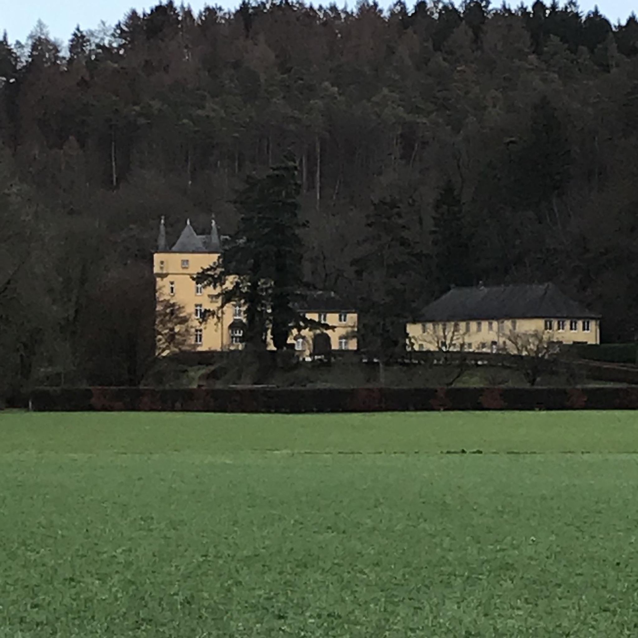
Tips from the Community

Here the canal was led across a river by means of a bridge
0
0

An information board at the cemetery entrance points to the monument. An artillery captain who took part in the campaigns of the "Grande Armee" under Napoleon, from Valmy to Austerlitz, is buried here. The cemetery contains even more grave monuments worth seeing, and the cemetery chapel is also worth a look.
0
0

Great cycle path along the Saar Canal.
2
0

The cycle path stretches from Sarreguemines to Gondrexange.
0
0


Grandiose bike course with many impressions along the way. The many locks here are great photo opportunities
1
1
There are several bridges over this historic canal, both steel and sandstone, which is typical for this region
3
0
Frequently Asked Questions
Are there many easy hiking trails around Bissert?
Yes, Bissert offers a good selection of easy hiking trails. There are over 30 easy routes available, perfect for a relaxed stroll. An example is the Château de Bonnefontaine loop from L'Écluse 16, which is a 2.3-mile (3.7 km) trail that takes about an hour to complete.
What kind of terrain can I expect on hikes in Bissert?
The hiking trails around Bissert feature a diverse landscape. You'll encounter gentle rolling hills, expansive agricultural fields, and pleasant sections alongside canals. The region also includes a mix of open countryside and forested areas, providing varied scenery throughout your walk.
Are there any circular walks available in Bissert?
Many of the trails in Bissert are designed as circular routes, allowing you to start and end at the same point. For instance, the Saint-Hubert forest house loop from Sarralbe is a moderate 6.8-mile (10.9 km) loop that explores both forest environments and open areas.
What are some good options for family-friendly hikes in Bissert?
For families, the easier and shorter routes are ideal. Look for trails with minimal elevation gain and well-maintained paths. The general landscape of gentle hills and canal-side paths makes many routes suitable for families, especially those under 5 miles. Consider routes like the Château de Bonnefontaine loop from L'Écluse 16 for a shorter, accessible option.
Can I bring my dog on the hiking trails in Bissert?
Most hiking trails in Bissert, especially those through open countryside and forested areas, are generally dog-friendly. It's always recommended to keep your dog on a leash, especially when passing through agricultural fields or near wildlife, and to carry waste bags. Always check specific route details for any restrictions.
What are some notable attractions or landmarks to see while hiking in Bissert?
While hiking, you can explore several interesting points. The Canal des Houillères de la Sarre and the Cycle Path Along the Canal de la Sarre offer scenic waterside walks. You might also encounter historical sites like the Saint-Martin Church or pass through charming areas like Sarralbe Town Centre.
How many hiking trails are there in Bissert in total?
There are over 80 hiking trails available around Bissert, offering a wide range of options for different skill levels and preferences. This includes easy, moderate, and some more challenging routes.
What do other hikers say about the trails in Bissert?
The trails in Bissert are highly regarded by the komoot community, with an average rating of 4.6 stars from over 200 reviews. Hikers often praise the varied scenery, including canal-side paths and forested sections, and the well-maintained nature of the routes.
Are there any longer, more challenging hikes in the Bissert area?
Yes, for those seeking a longer challenge, Bissert does offer some more difficult routes. An example is the Church of Voellerdingen loop from Keskastel, which is a 12.2-mile (19.6 km) trail with over 200 meters of elevation gain, typically taking around 5 hours to complete.
Is it possible to reach hiking trailheads in Bissert using public transport?
Information on specific public transport links to every trailhead is not always readily available. However, many routes start from towns or villages like Sarralbe or Altwiller, which may have public transport connections. It's advisable to check local bus or train schedules for these starting points when planning your hike.
Where can I find parking for hiking trails in Bissert?
Parking availability varies by trailhead. Many routes start from villages or near popular attractions where designated parking areas may be present. For specific routes, it's best to check the individual tour descriptions on komoot, as users often provide details about parking at the starting points.
What is a popular moderate hike in Bissert?
A popular moderate hike is the Canal next to the campsite – Old oak loop from Bissert. This route covers 10.2 miles (16.4 km) and takes approximately 4 hours 15 minutes, offering a good balance of distance and varied scenery.
Most popular attractions around Bissert

Get inspired with the komoot mobile app


Explore more
Browse the best Hikes in other regions.
