The best running trails around Gourbeyre
52
runners
5
runs
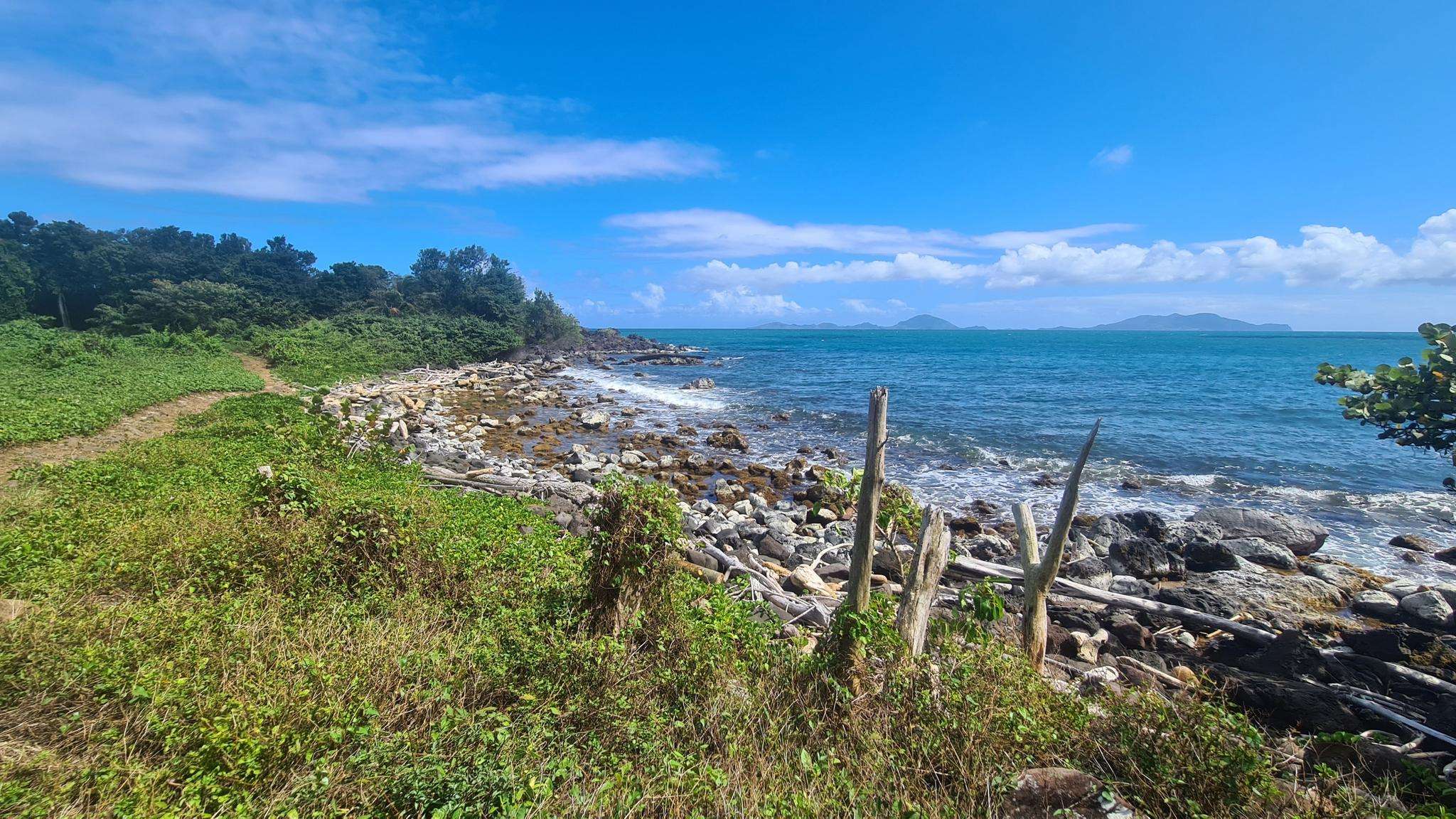
Jogging around Gourbeyre offers diverse landscapes, from the Caribbean Mountains to the Caribbean Sea. The region is characterized by lush tropical flora, numerous rivers, and inviting black sand beaches. Runners can explore a rich tapestry of environments, including dense forests and coastal paths. This varied terrain provides a stimulating environment for different running preferences.
Best jogging routes around Gourbeyre
- The most popular jogging route is Houëlmont loop from Rivière Sens, a 4.9 miles (7.8 km) trail that takes 1 hour 5 minutes to complete. This difficult route explores coastal dryland forest and offers significant elevation changes.
- Another top favourite among local runners is Lac Flammarion loop from La Soufrière, a difficult 3.8 miles (6.1 km) path. This route winds through mountainous terrain with lush tropical flora and offers views towards the Soufrière volcano.
- Local runners also love the Morne Cadet loop from Gourbeyre, a 5.2 miles (8.4 km) trail leading through the Caribbean Mountains, often completed in about 1 hour 15 minutes.
- Jogging around Gourbeyre is defined by mountainous terrain, lush tropical forests, and coastal paths along black sand beaches. The network offers options for challenging runs with significant elevation changes.
- The guide includes highly-rated routes that showcase the best of the region's landscape. More than 40 runners have used komoot to explore Gourbeyre's varied terrain.
Last updated: July 15, 2026
23
runners
7.83km
01:06
380m
380m
Hard run. Very good fitness required. Mostly paved surfaces. Suitable for all skill levels.
12
runners
6.34km
01:06
370m
370m
Hard run. Very good fitness required. Sure-footedness, sturdy shoes and alpine experience required.

Sign up for free
8
runners
10.4km
01:33
550m
550m
Hard run. Very good fitness required. Mostly paved surfaces. Suitable for all skill levels.
8
runners
7.64km
01:17
480m
480m
Hard run. Very good fitness required. Mostly paved surfaces. Suitable for all skill levels.
3
runners
8.38km
01:16
420m
420m
Hard run. Very good fitness required. Mostly paved surfaces. Suitable for all skill levels.
Our route recommendations are based on thousands of hikes, rides, and runs completed by other people on komoot.
Start today with a free account
Your next adventure awaits.
Login or Signup
Popular around Gourbeyre
Frequently Asked Questions
What kind of terrain can I expect on running routes around Gourbeyre?
Jogging routes in Gourbeyre offer a diverse landscape, ranging from the challenging Caribbean Mountains with dense forests and significant elevation changes, to coastal paths along inviting black sand beaches like Plage de Rivière-Sens. You'll also encounter lush tropical flora, numerous rivers, and natural pools throughout the region.
Are there any easy running routes in Gourbeyre suitable for beginners or a relaxed jog?
While the routes listed in this guide are generally considered difficult due to significant elevation, the region research indicates that the "Balade du Bassin Bleu" trail, starting from Moscou Plateau, is known for having no elevation, making it a more appealing option for a less strenuous jog. This trail passes by the picturesque Blue Basin and continues to La Parabole cascade.
Can I find circular running routes in Gourbeyre?
Yes, several running routes around Gourbeyre are circular. For example, the Houëlmont loop from Rivière Sens, the Lac Flammarion loop from La Soufrière, and the Morne Cadet loop from Gourbeyre are all designed as loops, bringing you back to your starting point.
What are some notable natural attractions or landmarks I might see while running in Gourbeyre?
Gourbeyre's routes often pass by stunning natural features. You might encounter mountain lakes like As de Pique, Grand Etang, Etang Roche, and Etang Madère along the "Trace des étangs." The "Bassin Bleu" trail leads to the beautiful Blue Basin and La Parabole cascade. For those seeking dramatic sights, the Carbet Falls (Second Fall) and Third Carbet Waterfall are also within reach of the wider Gourbeyre area, offering spectacular views.
Are there any running routes that offer views of the Soufrière volcano?
Yes, the Lac Flammarion loop from La Soufrière is a difficult 3.8-mile path that winds through mountainous terrain with lush tropical flora and offers views towards the Soufrière volcano. Additionally, the Marina de Rivière-Sens, a significant feature in the area, also provides views of the Soufrière volcano.
What is the typical length and duration of running trails in Gourbeyre?
The running trails in Gourbeyre vary in length, with routes in this guide ranging from approximately 3.8 miles (6.1 km) to 6.5 miles (10.5 km). Depending on the route and your pace, these can take anywhere from just over an hour to about 1 hour and 34 minutes to complete, given their difficult grading and significant elevation changes.
Are there any historical sites or points of interest along the running routes?
The Houëlmont Peak Tour, which starts at Rivière-Sens, not only offers a challenging run through coastal dryland forest but also features historical remnants along the way. This route ascends to the Guadeloupe Volcanology and Seismology Laboratory at the summit, providing a blend of natural beauty and historical context.
What kind of natural pools or wild swimming spots can be found near running trails?
Gourbeyre is known for its numerous rivers, waterfalls, and natural pools. The "Bassin Bleu" trail, for instance, leads directly to the Blue Basin, which is a picturesque natural pool. These spots provide refreshing opportunities to cool down during or after your run amidst the tropical flora.
What makes the Caribbean Mountains in Gourbeyre special for runners?
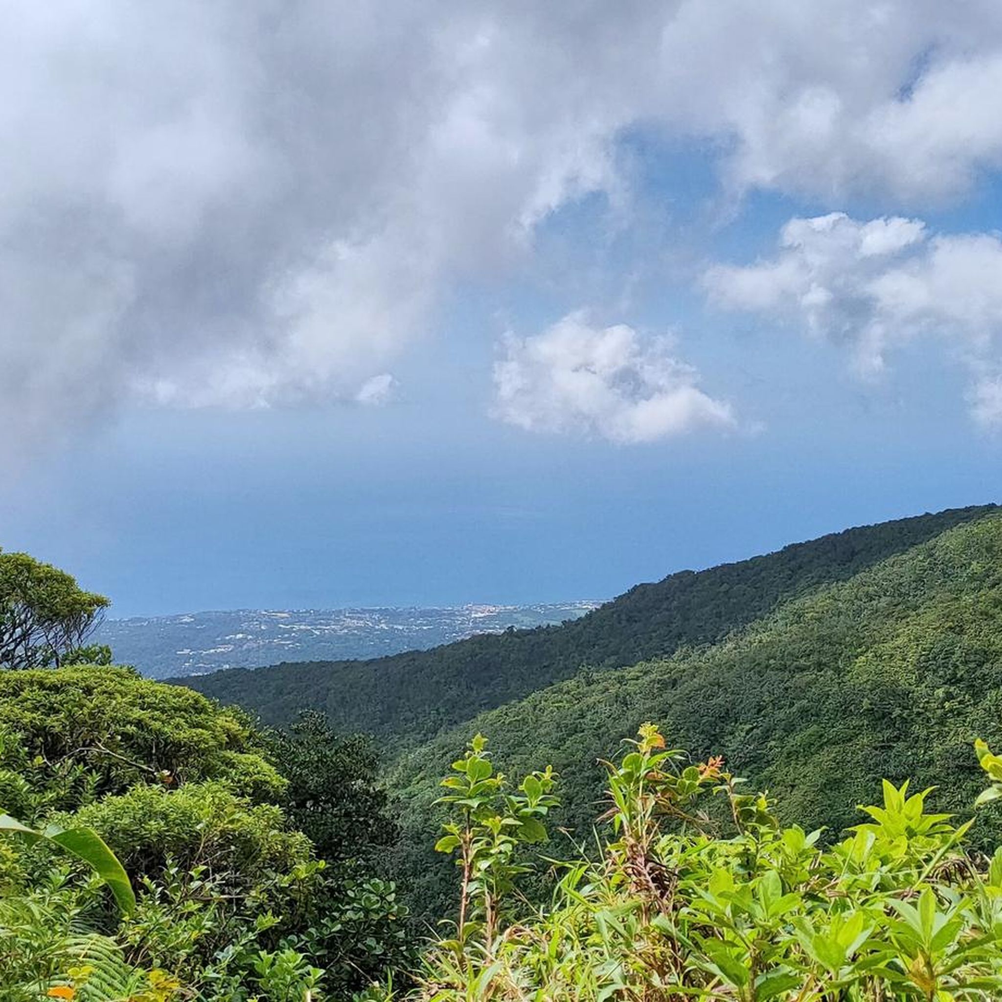
The Caribbean Mountains, spanning 1,370 hectares across Gourbeyre, are a biodiversity haven. Runners can explore dryland, intermediate, and dense forests with gigantic trees. This area is also a crucial stop for hundreds of migratory bird species, including the Guadeloupe Woodpecker, offering a unique natural experience alongside challenging elevation changes.
Are there any specific events or races for runners in Gourbeyre?
Yes, Gourbeyre is recognized as a running destination, hosting events such as the "CROSS LES MONTS CARAIBES." This indicates the region's appeal for athletes and its challenging terrain, suggesting a vibrant running community and opportunities for organized events.
What are the starting points for some of the popular running routes?
Popular running routes in Gourbeyre often start from key locations. For example, the Houëlmont loop and a general Running loop both begin from Rivière Sens. The Lac Flammarion loop starts from La Soufrière, and the Morne Cadet loop commences directly from Gourbeyre.
Most popular routes around Gourbeyre
Most popular attractions around Gourbeyre

Get inspired with the komoot mobile app


Explore more
Browse the best Running Trails & Routes in other regions.
