The best road cycling routes around Saint-Julien
4.7
(76)
1,710
riders
52
rides
Road cycling routes around Saint-Julien offer varied terrain, from challenging mountain ascents to tranquil riverside paths and expansive countryside. The region features mountainous backdrops, including Mont Salève and the Vuache mountains, alongside the powerful Rhône River. Cyclists can explore rural landscapes dotted with vineyards, providing diverse riding experiences. This area caters to a range of abilities, with routes winding through fields, forests, and over mountain passes.
Best road cycling routes around Saint-Julien
- The most popular road cycling route is Col…
Last updated: October 27, 2026
4.6
(8)
63
riders
63.3km
03:27
1,250m
1,250m
Hard road ride. Very good fitness required. Mostly well-paved surfaces and easy to ride.
5.0
(1)
85
riders
83.5km
04:24
1,560m
1,560m
Hard road ride. Very good fitness required. Mostly well-paved surfaces and easy to ride.

4.4
(5)
73
riders
47.0km
02:15
590m
590m
Moderate road ride. Good fitness required. Mostly well-paved surfaces and easy to ride.
5.0
(2)
69
riders
35.8km
02:09
880m
880m
Moderate road ride. Good fitness required. Some segments of this route may be unpaved and difficult to ride.
4.2
(9)
123
riders
50.3km
02:53
780m
780m
Moderate road ride. Good fitness required. Some segments of this route may be unpaved and difficult to ride.
Get access to more routes and recommendations from other explorers.
Already have an account?
Our route recommendations are based on thousands of hikes, rides, and runs completed by other people on komoot.
Start today with a free account
Your next adventure awaits.

Other adventures around Saint-Julien

Tips from the Community

The landscape opens onto the hamlet of Ceps, nestled on the banks of the Orb river. This village boasts a Romanesque church from the 12th century, a testament to ancient human presence in this enclosed area. Behind it, the wooded reliefs of the Haut-Languedoc form a natural backdrop that seems to protect the village.
2
0
In the heart of the old village, the Saint-Jean-l'Évangéliste church bears witness to the history of Le Poujol-sur-Orb. For several centuries, the inhabitants depended on the old priory of Saint-Pierre-de-Rhèdes, located on the other side of the valley, in present-day Lamalou-les-Bains. In 1646, by decision of the bishop, a new church was built in Le Poujol to bring the place of worship closer to the inhabitants. Remodeled over the centuries, it notably retains beautiful 19th-century frescoes depicting saints and prophets.
2
0
Clinging to a rocky outcrop almost encircled by the Jaur, Olargues is a remarkable fortified village whose medieval organization is still perfectly legible. At the summit, the former keep of the castle, transformed into a bell tower in the 17th century after the fortress was destroyed on Cardinal Richelieu's orders, still dominates the valley. Below, the Devil's Bridge, built in the 12th century, has spanned the Jaur for nearly nine centuries. Between the two, "calades" (cobbled alleyways) and old houses invite you to step back in time. It is easy to understand why Olargues is among the Most Beautiful Villages in France!
3
0
The D57 descends towards Riols through a quiet and shaded forest road, between gentle bends and the wooded atmosphere of the Haut-Languedoc. A pleasant section transitioning to the valley.
2
0
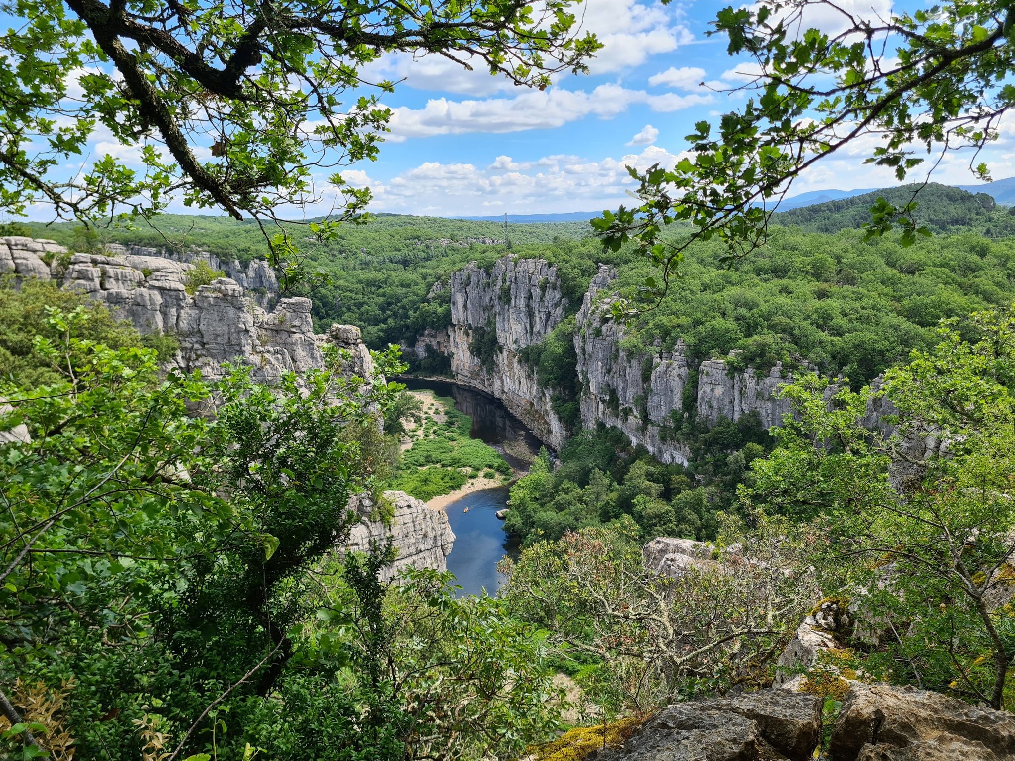
The cliffs of Orque (or Olque, depending on local toponyms) form a real rocky front overlooking the Haut-Languedoc: a limestone wall about 200 meters high, leaning against a plateau perched around 800 meters, north of the Caroux and Espinouse massifs.
3
0
The Col de la Croix de Mounis is one of those passes where you don't just cross a slope, but a true border between two valleys. Perched at an altitude of about 800 meters, in the heart of Haut-Languedoc, it connects the Mare valley to that of the Dourdou. For a long time, this pass was a strategic crossing point between Lacaune and Saint-Gervais-sur-Mare. Before modern roads, it was already part of a local circulation network, used by muleteers and stagecoaches, where villages, markets, and valleys were connected via routes dictated by the terrain. The current road still retains something of this logic: it doesn't cut through the mountain, it goes around it and "negotiates" it.
2
0
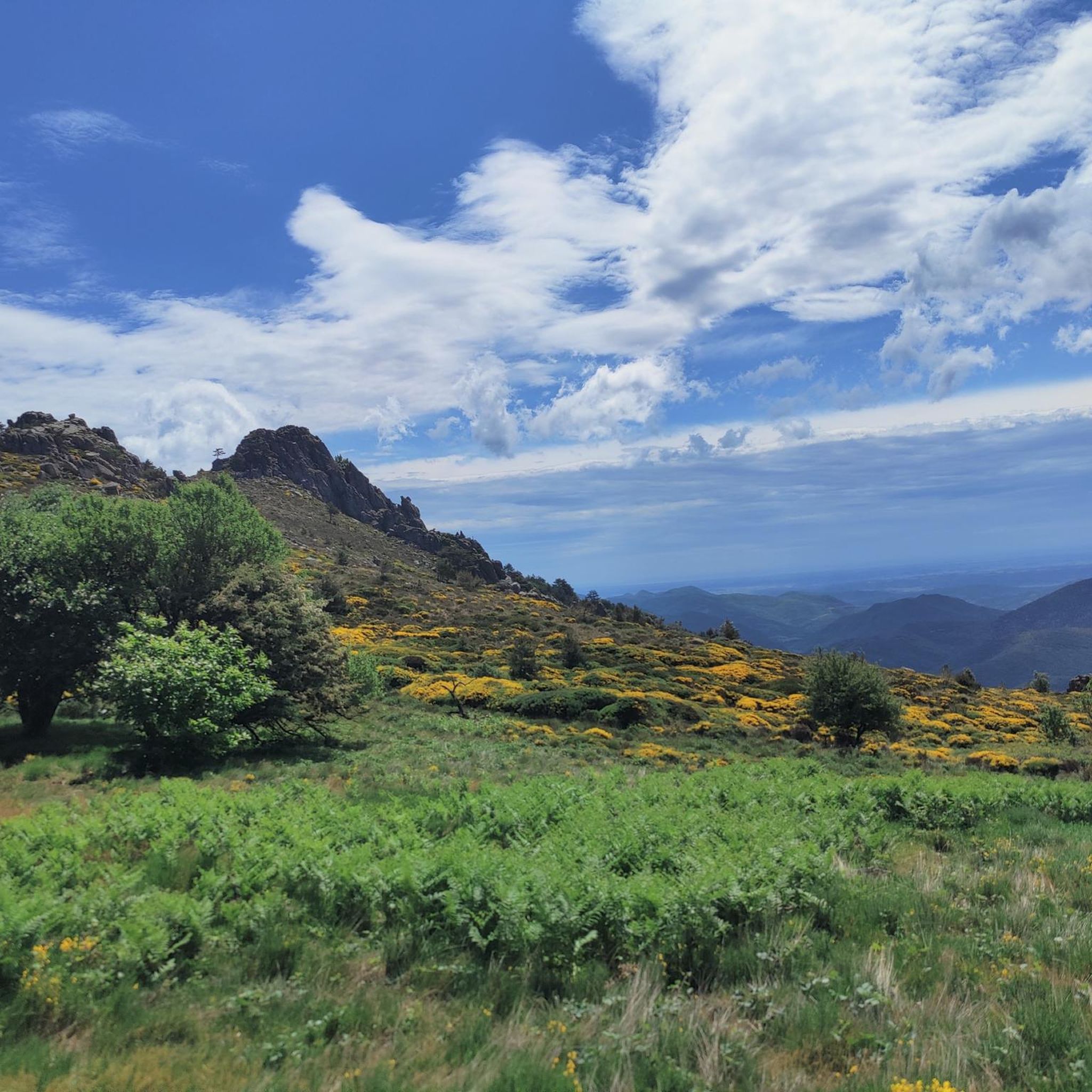
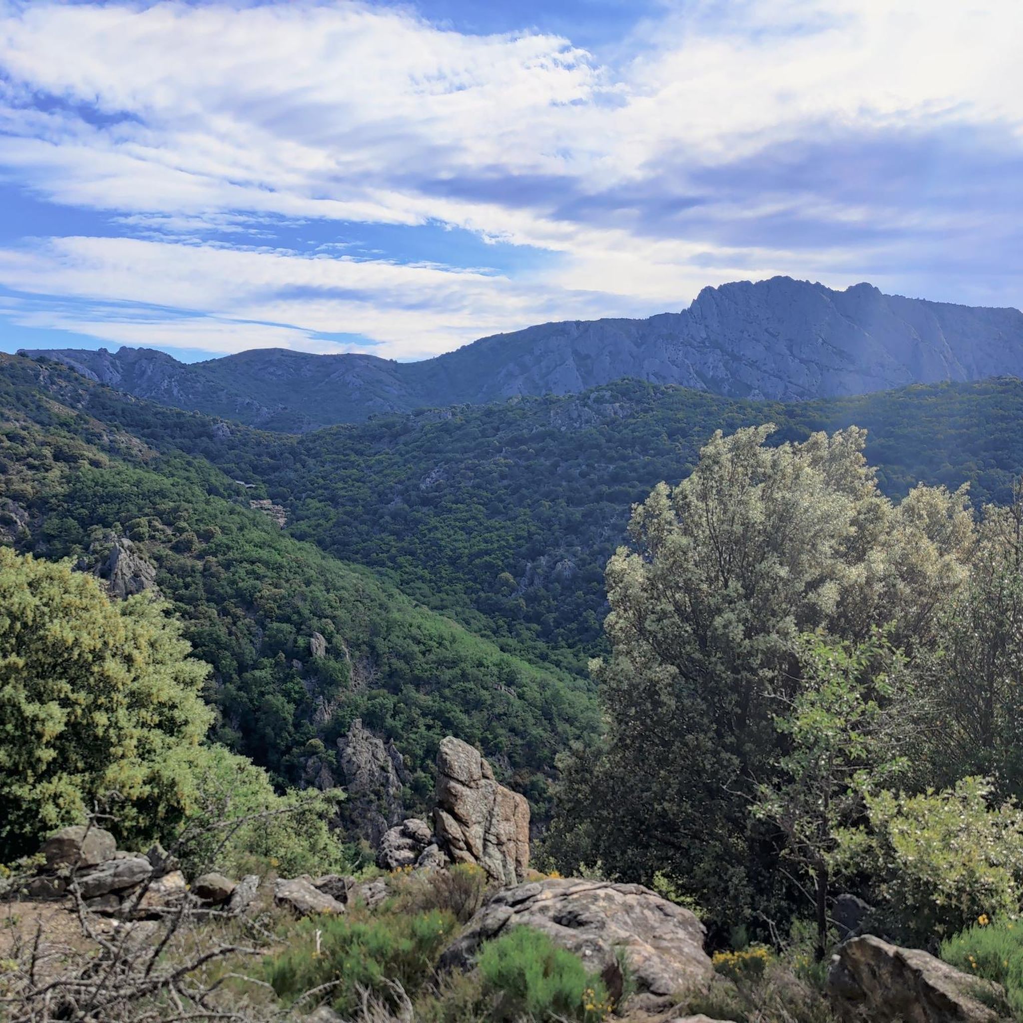
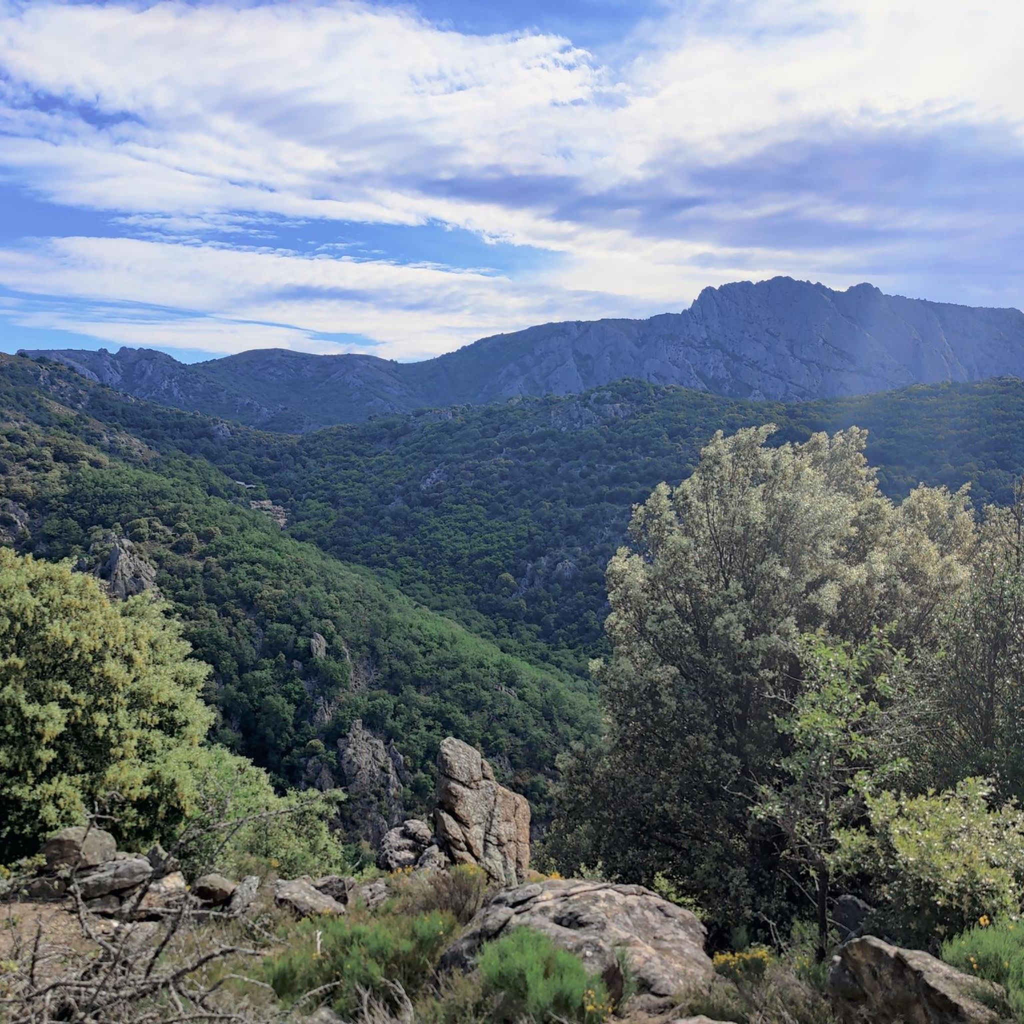
This wide turn reveals a superb panorama of the mountain. In the foreground, the D14 winds up the slope with beautifully drawn switchbacks. Further on, several characteristic reliefs of the Haut-Languedoc stand out, succeeding each other to the horizon. One of the most beautiful panoramas of the ascent!
2
0
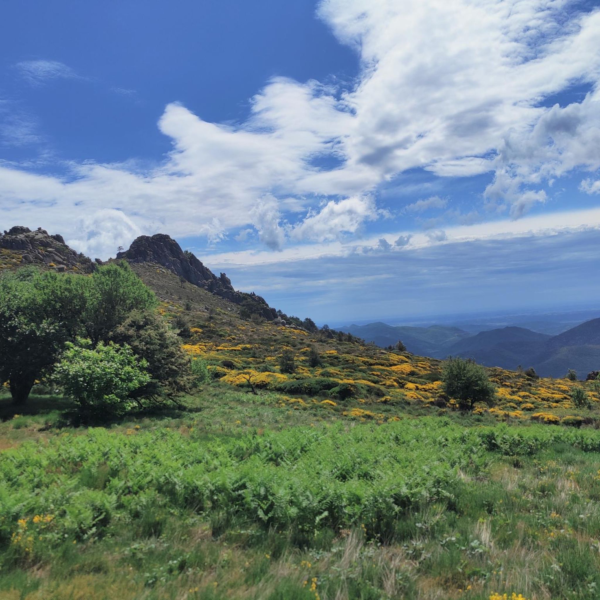
Magnificent viewpoint over the reliefs of the Haut-Languedoc. From this bend in the D180, the landscape suddenly opens up to the east, offering a striking view of the valleys and ridges of the Espinouse. An unmissable photo stop on the way to the pass.
2
0
Frequently Asked Questions
How many road cycling routes are available in Saint-Julien?
Saint-Julien offers a wide selection of road cycling routes, with over 50 options available. These routes cater to various skill levels, including 3 easy, 23 moderate, and 26 difficult trails.
What kind of terrain can I expect when road cycling in Saint-Julien?
Road cycling in Saint-Julien features diverse terrain. You'll encounter challenging mountainous backdrops, such as Mont Salève and the Vuache mountains, offering significant elevation gain. There are also tranquil riverside paths along the Rhône and Fier rivers, as well as expansive rural landscapes dotted with vineyards, providing varied and picturesque riding experiences.
Are there routes suitable for beginners or families in Saint-Julien?
Yes, Saint-Julien offers routes suitable for various abilities. While many routes involve significant climbs, there are 3 easy and 23 moderate routes that wind through fields and forests, providing more gentle options for beginners or families looking for a less strenuous ride.
What are some challenging road cycling routes in Saint-Julien?
For experienced cyclists seeking a challenge, Saint-Julien has 26 difficult routes. A popular option is the Col de Fontfroide Loop from Olargues, a 39.4-mile trail with significant elevation gain. Another demanding route is the Fontfroide Pass – vision loop from Saint-Julien, which covers 36.3 miles and includes challenging climbs and panoramic views.
Are there any scenic viewpoints or natural features to see along the routes?
Absolutely. The region is rich in natural beauty. You can find stunning mountainous backdrops, including Mont Salève and the Vuache mountains, offering rewarding views. The powerful Rhône River provides tranquil riverside paths. For specific natural features, consider visiting Héric Gorge or the Gouffre du Cerisier Natural Pool and Waterfall. You can also find a great view from the Orientation table at Mont Caroux.
Can I find circular road cycling routes in the Saint-Julien area?
Yes, many of the road cycling routes in Saint-Julien are designed as loops, allowing you to start and end in the same location. Examples include the Col de Fontfroide Loop from Olargues and the Pont de Vieussan – View of the village of Ceps loop from Olargues, which leads through varied countryside.
What is the best time of year for road cycling in Saint-Julien?
Saint-Julien is a popular spot for cycling, especially during the warmer months. The combination of challenging mountain terrain, serene river valleys, and open countryside makes it enjoyable for much of the year. However, for the most comfortable conditions and to fully appreciate the landscapes, spring and autumn are often ideal, avoiding the peak heat of summer and potential winter conditions in higher elevations.
Are there any specific landmarks or historical sites I can visit while cycling?
Beyond natural beauty, cyclists can encounter charming villages and historical sites. While specific routes are not detailed in the provided data, the region is known for places like Oingt, which offers magnificent views, and historical sites such as Château de Montmelas. You might also pass by the Olargues Railway Bridge, a notable landmark.
What do other cyclists say about the routes in Saint-Julien?
The road cycling routes in Saint-Julien are highly rated by the komoot community, with an average score of 4.6 stars from over 60 reviews. Cyclists often praise the varied terrain, from challenging mountain ascents to tranquil riverside paths, and the expansive countryside with vineyards. Over 1700 road cyclists have used komoot to explore the area, highlighting its popularity.
Are there options for parking near the road cycling routes in Saint-Julien?
While specific parking locations are not detailed for every route, many popular cycling areas and trailheads in regions like Saint-Julien typically offer designated parking facilities. For routes starting from towns like Olargues or Saint-Julien-en-Genevois, you can usually find public parking options within the vicinity to begin your ride.
Is public transport accessible for reaching road cycling routes in Saint-Julien?
Access to road cycling routes via public transport can vary depending on the specific starting point. Larger towns in the Saint-Julien region, such as Saint-Julien-en-Genevois, generally have better public transport connections. It's advisable to check local bus or train schedules for routes that align with your chosen cycling starting points.
Are there any long-distance road cycling routes in Saint-Julien?
Yes, Saint-Julien offers several longer routes for those looking for extended rides. For instance, the Vision – Fontfroide Pass loop from Olargues is a challenging 44.7-mile (72.0 km) route with significant elevation gain, perfect for a full day of cycling.
Most popular attractions around Saint-Julien

Get inspired with the komoot mobile app


Explore more
Browse the best Road cycling routes in other regions.
