The best running trails around Berchères-Les-Pierres
4.1
(93)
5,330
runners
253
runs
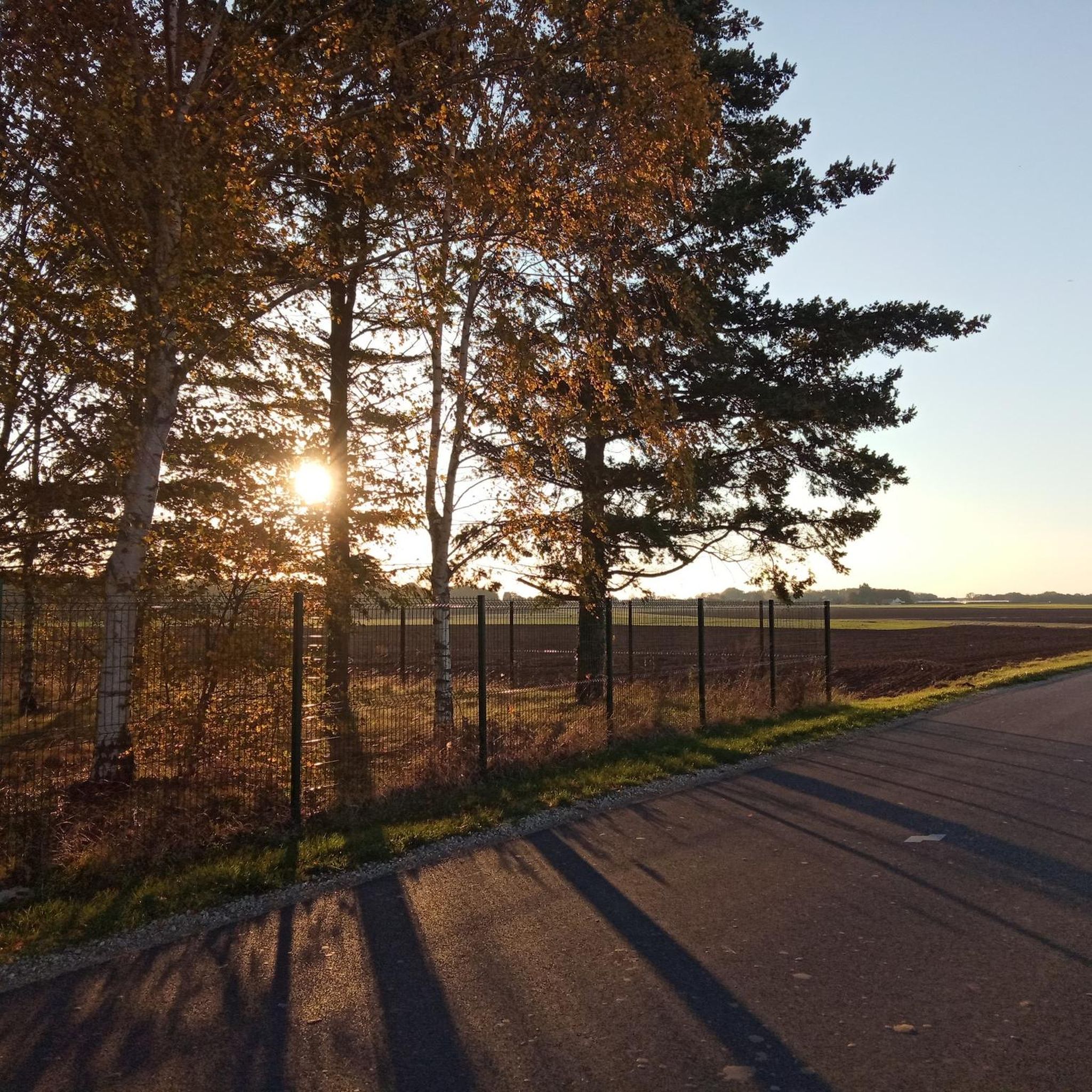
Jogging routes around Berchères-Les-Pierres traverse a rural landscape characterized by country roads and paths across the Beauce plain. The terrain features gentle ascents and descents, with altitudes ranging from 137 m to 195 m, offering varied running conditions. This area is known for its ancient stone quarries and offers views of the surrounding agricultural lands. The proximity to the Eure riverbanks and local ponds also provides diverse natural settings for running.
Best jogging routes around Berchères-Les-Pierres
- The most popular jogging…
Last updated: July 5, 2026
31
runners
7.49km
00:48
30m
30m
Moderate run. Good fitness required. Mostly paved surfaces. Suitable for all skill levels.
4.0
(1)
11
runners
8.18km
00:52
20m
20m
Moderate run. Good fitness required. Mostly paved surfaces. Suitable for all skill levels.

Sign up for free
10
runners
9.11km
00:57
40m
40m
Moderate run. Good fitness required. Mostly paved surfaces. Suitable for all skill levels.
7
runners
10.1km
01:03
40m
40m
Moderate run. Good fitness required. Mostly paved surfaces. Suitable for all skill levels.
6
runners
8.87km
00:55
30m
30m
Moderate run. Good fitness required. Mostly paved surfaces. Suitable for all skill levels.
Get access to more routes and recommendations from other explorers.
Sign up for free
Already have an account?
Our route recommendations are based on thousands of hikes, rides, and runs completed by other people on komoot.
Start today with a free account
Your next adventure awaits.
Login or Signup



Tips from the Community

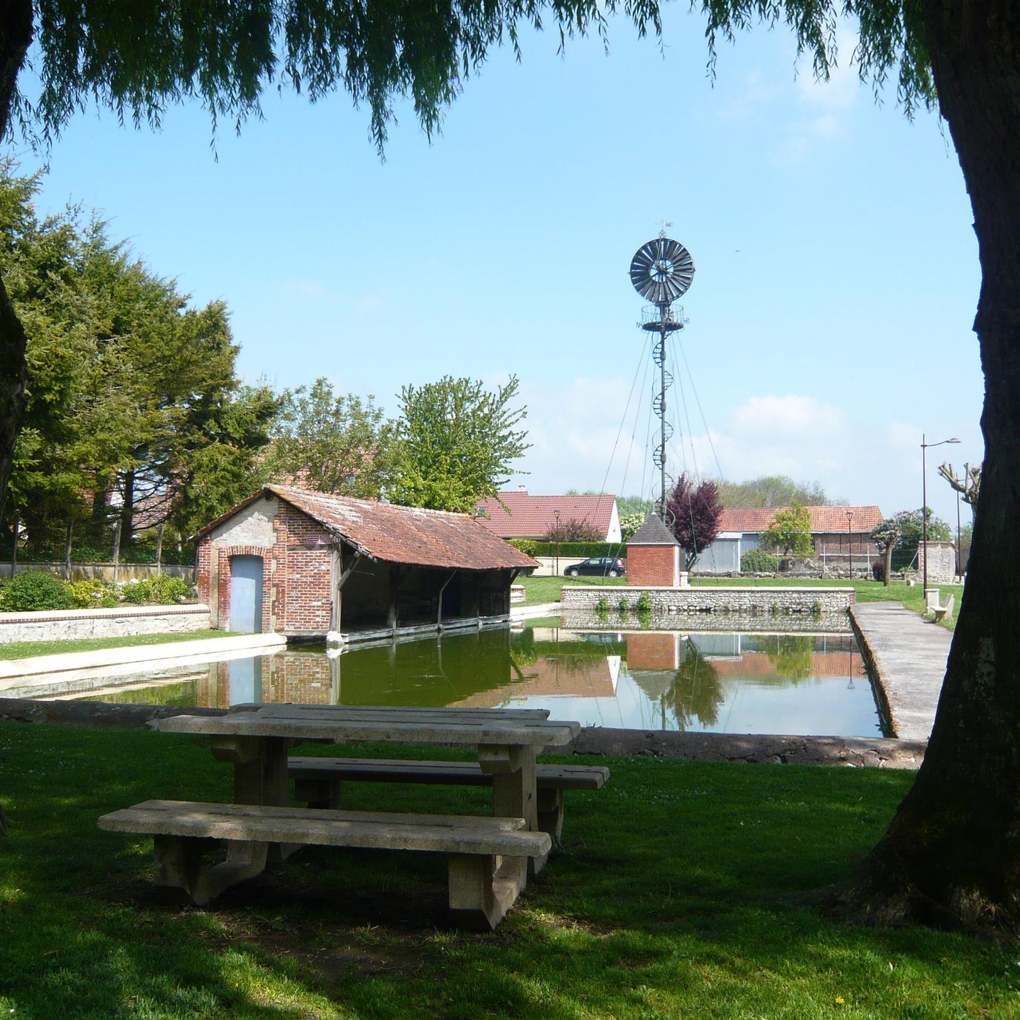
Nice walk along the pond. Trails make it easy to go around the body of water. There are benches, play areas for children. It is a popular spot with local residents.
1
0


5.1 ha body of water located in the Eure valley 15 minutes from Chartres town centre. Reciprocal and populated by most pond fish. A population of predators (pike, zander and perch) makes it possible to alternate techniques.
2
0
The park of the castle of Laval offers something for jogging, strolling or even a play area for children. It is planted with trees and is bordered by the canal also fed by the Roguenette. A very pleasant place to discover
1
0
Frequently Asked Questions
How many running routes are available around Berchères-Les-Pierres?
There are over 260 running routes available around Berchères-Les-Pierres, offering a wide variety of options for different preferences and fitness levels. These include easy loops, moderate paths, and more challenging trails.
What kind of terrain can I expect on the running trails in Berchères-Les-Pierres?
The running trails in Berchères-Les-Pierres primarily traverse a rural landscape characterized by country roads and paths across the expansive Beauce plain. You'll encounter varied terrain with gentle ascents and descents, ranging from 137 m to 195 m in altitude. The area is also known for its ancient stone quarries and offers views of agricultural lands, with some routes near the Eure riverbanks and local ponds.
Are there running routes suitable for beginners or those looking for an easy jog?
Yes, Berchères-Les-Pierres offers a good selection of routes for beginners and those seeking an easy jog. There are 28 easy routes available, providing gentle paths through the rural landscape. For example, the Parc du Château de Laval loop from Sours is a moderate 6.8 km path with relatively flat terrain, suitable for a scenic run.
What do other runners say about the trails in Berchères-Les-Pierres?
The running routes in Berchères-Les-Pierres are highly rated by the komoot community, with an average score of 4.3 stars from over 120 reviews. More than 8,000 runners have used komoot to explore the varied terrain, often praising the quiet rural landscapes and the mix of natural and historical points of interest.
Are there any circular running routes in the area?
Yes, many of the running routes around Berchères-Les-Pierres are circular, allowing you to start and finish at the same point. Examples include the popular Ford and mill – Barjouville Pond loop from Morancez and the Montléverin loop from Gellainville, which takes you through open countryside.
Can I bring my dog on the running trails in Berchères-Les-Pierres?
Generally, dogs are welcome on many of the rural paths and country roads around Berchères-Les-Pierres, especially on trails that are also used for hiking. However, it's always advisable to keep your dog on a leash, especially near agricultural fields or in areas where livestock might be present. Check local signage for any specific restrictions.
What are some scenic viewpoints or landmarks I can see while running?
While running around Berchères-Les-Pierres, you can enjoy expansive views of the Beauce plain, including distant glimpses of Chartres Cathedral. The village itself offers historical curiosities like old farms, a Bollée windmill, and a parish church. You can also explore the ancient stone quarries, which provided stone for the cathedral, and follow parts of the historic "Chemin des Carriers" (Quarrymen's Path).
Are there any longer or more challenging running routes for experienced runners?
Yes, for experienced runners seeking a challenge, there are 41 difficult routes available. One notable option is the Ford and mill – Barjouville Pond loop from Morancez, a 17.5 km trail with a moderate elevation gain, exploring rural landscapes and pond areas. Another challenging route is the Canal de Chartres – Beautiful view of the cathedral loop from Morancez, which is nearly 23.3 km long.
Is public transport available to access the running trails in Berchères-Les-Pierres?
Public transport options directly to the trailheads in Berchères-Les-Pierres might be limited, as it is a rural village. It's generally recommended to access the area by car, especially if you plan to explore routes starting from various points around the village or nearby towns. Some routes may be accessible from larger towns like Chartres, which has better public transport links, but you would likely need to connect via local bus services or a short drive.
Where can I find parking for the running routes in Berchères-Les-Pierres?
Parking is typically available in the village center of Berchères-Les-Pierres or at designated starting points for popular trails. As it's a rural area, you'll often find informal parking spots near trailheads or in small village squares. Always ensure you park responsibly and do not obstruct local access or private property.
What is the best time of year to go running in Berchères-Les-Pierres?
The best time of year for running in Berchères-Les-Pierres is generally during spring (April-June) and autumn (September-October). During these seasons, the weather is typically mild and pleasant, making for comfortable running conditions. Summer can be warm, especially on exposed paths across the Beauce plain, while winter can bring colder temperatures and potentially muddy trails.
Are there any historical paths I can run on in the region?
Yes, Berchères-Les-Pierres is rich in history. You can run along parts of the historic "Chemin des Carriers" (Quarrymen's Path), a mythical 14 km route that quarrymen used to transport stones to Chartres Cathedral. A specific hiking route, "La carrière de la cathédrale," is a 7.5 km loop that leads through the woods of La Garenne, where ancient quarry faces are located, offering a unique blend of natural and historical exploration.
Are there any running routes that offer views of Chartres Cathedral?
Yes, due to the expansive nature of the Beauce plain, many routes around Berchères-Les-Pierres offer distant views of the iconic Chartres Cathedral. The rural landscape and open countryside provide excellent vantage points for glimpsing this historic landmark while you run.
Most popular routes around Berchères-Les-Pierres
Most popular attractions around Berchères-Les-Pierres

Get inspired with the komoot mobile app


Explore more
Browse the best Running Trails & Routes in other regions.
