The best running trails around Champ-Sur-Drac
4.3
(128)
5,421
runners
14
runs
Jogging around Champ-Sur-Drac offers routes through varied terrain, characterized by its location at the confluence of the Drac and Romanche rivers. The region features extensive forests, including protected oak groves, and offers views of surrounding mountains and valleys. Elevations range from gentle riverside paths to more challenging climbs, providing diverse running experiences.
Best jogging routes around Champ-Sur-Drac
- The most popular jogging route is Vue sur tour loop from Champ-sur-Drac, an 8.3 miles (13.3 km) trail that takes 1 hour…
Last updated: October 4, 2026
16
runners
13.3km
01:49
440m
440m
Hard run. Very good fitness required. Sure-footedness, sturdy shoes and alpine experience required.
7
runners
5.47km
00:35
30m
30m
Moderate run. Good fitness required. Mostly paved surfaces. Suitable for all skill levels.

5.0
(3)
7
runners
11.0km
01:16
190m
190m
Hard run. Good fitness required. Sure-footedness, sturdy shoes and alpine experience required.
7
runners
35.4km
03:58
280m
280m
Hard run. Very good fitness required. Sure-footedness, sturdy shoes and alpine experience required.
10
runners
13.1km
02:20
870m
870m
Hard run. Very good fitness required. Sure-footedness, sturdy shoes and alpine experience required.
Get access to more routes and recommendations from other explorers.
Already have an account?
Our route recommendations are based on thousands of hikes, rides, and runs completed by other people on komoot.
Start today with a free account
Your next adventure awaits.
Tips from the Community

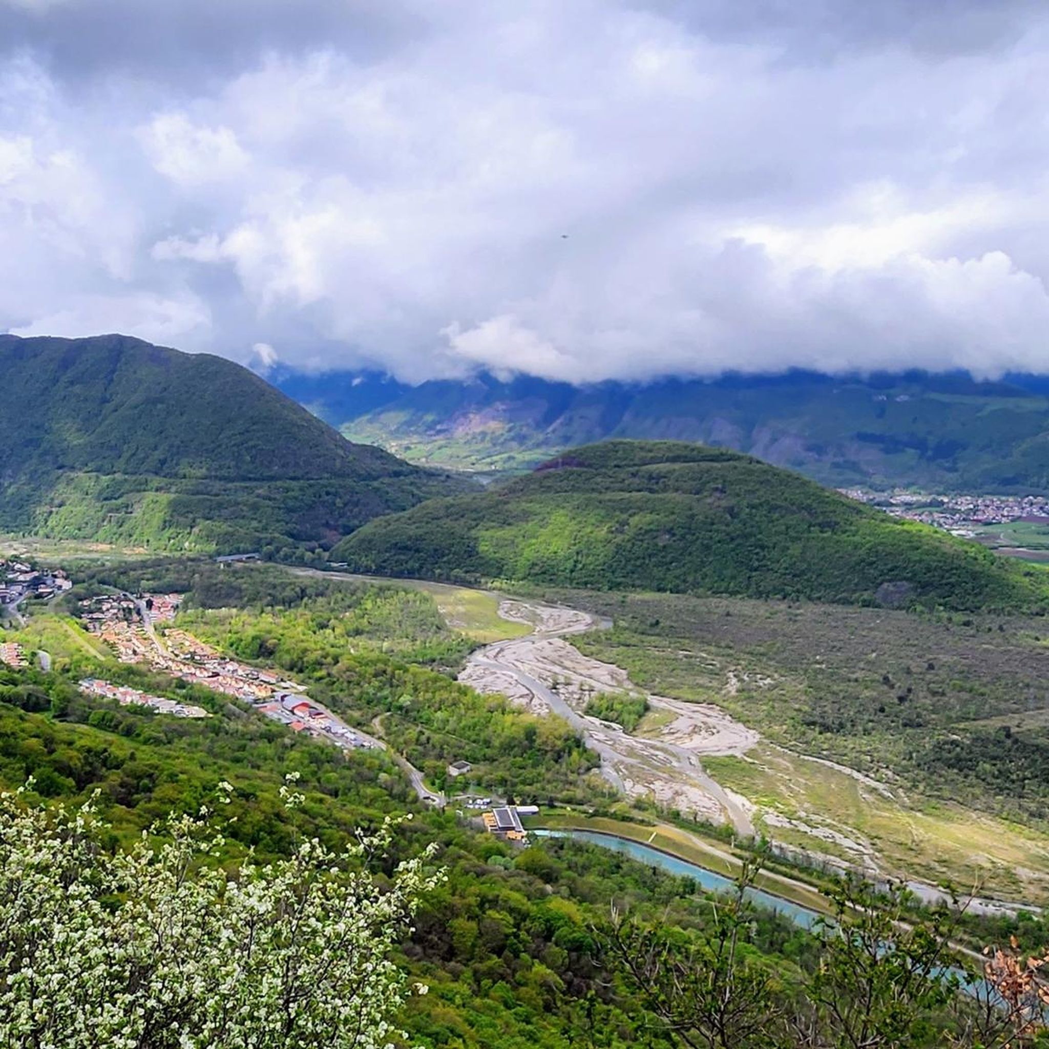
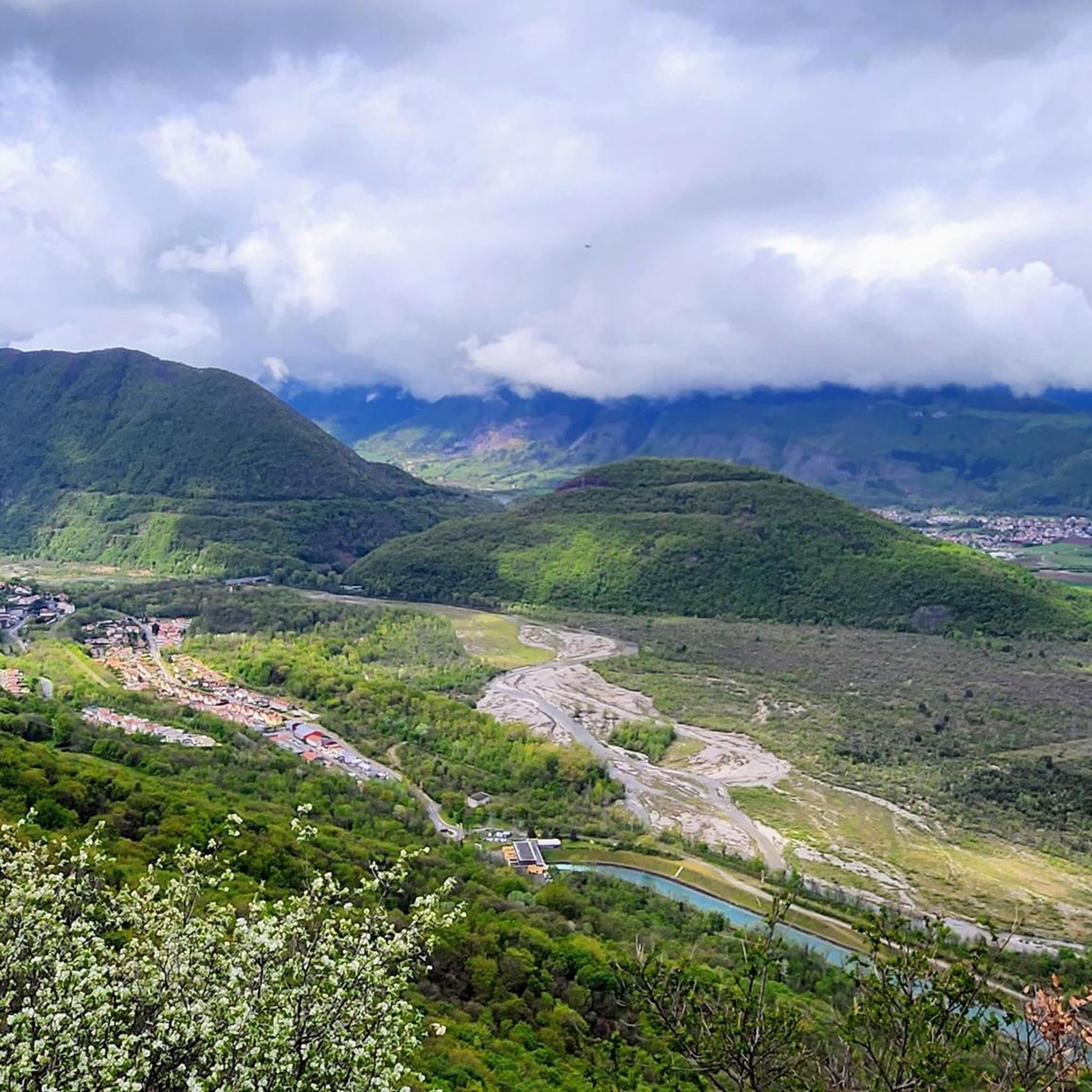
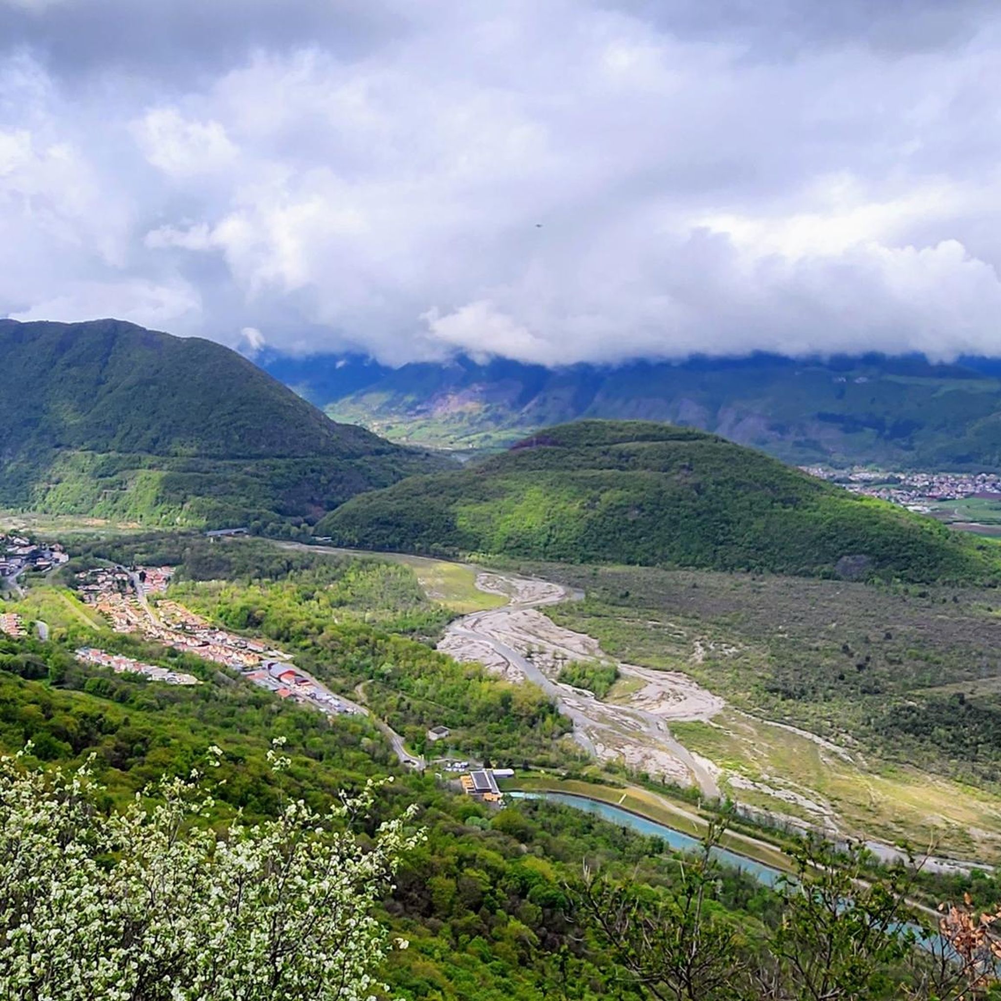
Cool photo spot along the quiet route towards Grenoble.
1
0


Very rolling, and most often in the shade
1
0

superb view we turn our heads to the right we see the Vercors and to the left Belledonne
0
0


Bon Repos Castle is a medieval castle dating back to the 15th century. It is located south of Grenoble in the commune of Jarrie. It offers beautiful views to the south and the mountains beyond.
2
0

Quiet road that allows you to reach Saint-Georges-de-Commiers without going through the D529 which is quite busy
1
0
Frequently Asked Questions
How many running routes are available around Champ-Sur-Drac?
There are over 15 dedicated running routes around Champ-Sur-Drac, offering a variety of distances and difficulty levels for all types of runners.
Are there any easy or beginner-friendly jogging routes in Champ-Sur-Drac?
Yes, Champ-Sur-Drac offers some easier options. For instance, the Running loop from Champ-sur-Drac is a moderate 3.4-mile (5.5 km) trail that is often completed in about 35 minutes, making it suitable for those looking for a less strenuous run.
What are some challenging running trails in the area?
For a more demanding run, consider the Vue sur tour loop from Champ-sur-Drac. This difficult 8.3-mile (13.3 km) route features significant elevation gain and offers panoramic views, taking approximately 1 hour 49 minutes to complete.
Are there any running routes around 10k in Champ-Sur-Drac?
Yes, several routes are close to or exceed 10 kilometers. The Bon Repos Castle – Château de Bon Repos loop from Champ-sur-Drac is an excellent option at 6.8 miles (11 km), offering a challenging run with historical sights.
Can I find circular jogging routes in Champ-Sur-Drac?
Many of the running trails in the region are designed as loops, allowing you to start and finish at the same point. Examples include the Tour loop from Le Verger, a moderate 8.8-mile (14.1 km) path exploring varied landscapes.
What kind of scenic viewpoints can I expect on the running trails?
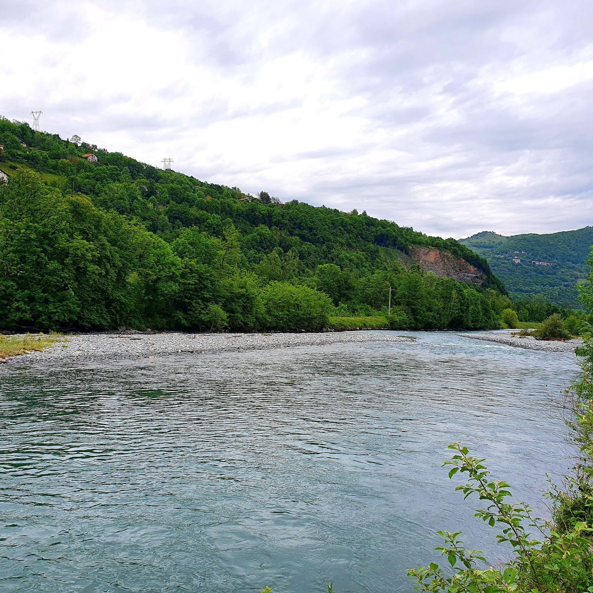
The region is known for its scenic beauty. Routes often provide views over the Drac river and the surrounding landscape. For specific viewpoints, consider trails that ascend to higher ground, offering vistas like those from Plateau des Ramées, which can be incorporated into longer runs.
Are there any natural monuments or landmarks to see while running?
Yes, the area features several interesting natural and historical landmarks. You might encounter sights such as La Pierre Percée, a unique natural monument, or even pass by mountain features like Arc Pass on some of the more extensive routes.
What do other runners say about the trails in Champ-Sur-Drac?
The running routes in Champ-Sur-Drac are highly regarded by the komoot community, holding an average rating of 4.4 stars from over 100 reviews. Runners frequently praise the varied terrain, scenic riverside paths, and the challenging climbs that lead to rewarding views.
Are there off-road jogging trails available?
Many of the routes in Champ-Sur-Drac utilize natural paths and trails, providing an excellent off-road running experience. The region's varied terrain, from riverside paths to ascents, ensures a good mix of surfaces away from paved roads.
What are the winter conditions like for jogging in Champ-Sur-Drac?
Winter conditions can vary. While lower-lying riverside paths might remain accessible, higher elevation routes, especially those leading to mountain passes like Col Vert, may experience snow or ice. It's advisable to check local weather and trail conditions before heading out during winter months.
Is public transport available to access jogging routes in Champ-Sur-Drac?
Champ-Sur-Drac is generally accessible by local public transport, which can help you reach various starting points for the running routes. It's recommended to check local bus schedules for specific stops near your desired trailheads.
Are there any very long-distance running options for experienced athletes?
For those seeking a significant challenge, the Monk's Leap loop from Champ-sur-Drac is a formidable option. This difficult route spans over 22 miles (35.5 km) and involves considerable elevation changes, making it suitable for ultra-runners or those training for long distances.
Most popular routes around Champ-Sur-Drac
Most popular attractions around Champ-Sur-Drac

Get inspired with the komoot mobile app


Explore more
Browse the best Running Trails & Routes in other regions.
