The best mountain hikes around Saint-Paul-De-Varces
4.7
(15)
106
hikers
11
hikes
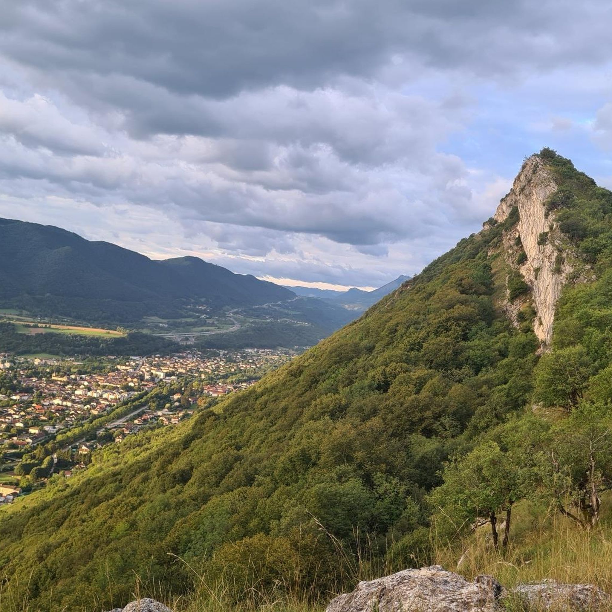
Mountaineering routes around Saint-Paul-De-Varces are situated at the foot of the Vercors Massif in southeastern France. The region features dramatic limestone cliffs, deep gorges, and expansive plateaus, providing diverse terrain for mountaineering. Dense forests and the scenic Drac Valley also contribute to the varied landscape. This area offers a range of challenges for outdoor enthusiasts.
Best mountaineering routes around Saint-Paul-De-Varces
- The most popular mountaineering route is Pic Saint-Michel (1966 m) – Arc Pass loop from Parking des Barnets, a…
Last updated: October 4, 2026
5.0
(3)
13
hikers
Hard mountaineering route. Very good fitness required. Mostly accessible paths. Sure-footedness required.
14
hikers
8.38km
03:36
610m
610m
Moderate mountaineering route. Good fitness required. Mostly accessible paths. Sure-footedness required.

11
hikers
10.3km
04:18
830m
830m
Moderate mountaineering route. Good fitness required. Mostly accessible paths. Sure-footedness required.
5.0
(2)
5
hikers
15.9km
08:03
1,270m
1,270m
Hard mountaineering route. Very good fitness required. Sure-footedness, sturdy shoes and alpine experience required.
4.0
(1)
11
hikers
12.3km
03:54
520m
520m
Hard mountaineering route. Good fitness required. Sure-footedness, sturdy shoes and alpine experience required.
Get access to more routes and recommendations from other explorers.
Already have an account?
Our route recommendations are based on thousands of hikes, rides, and runs completed by other people on komoot.
Start today with a free account
Your next adventure awaits.
Popular around Saint-Paul-De-Varces

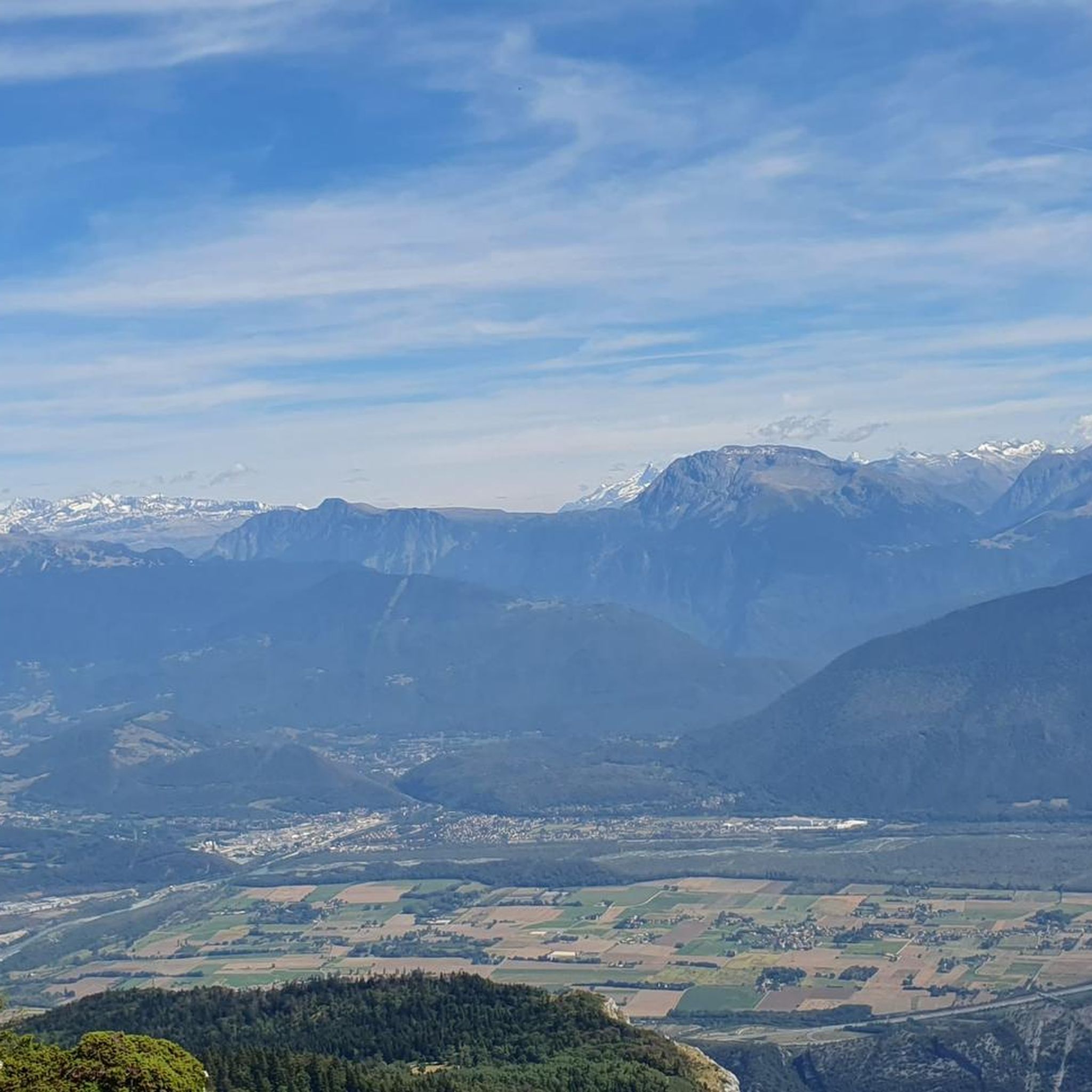
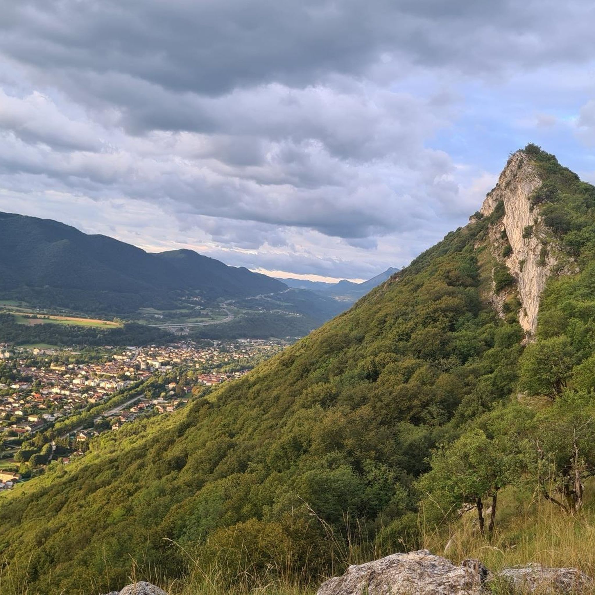
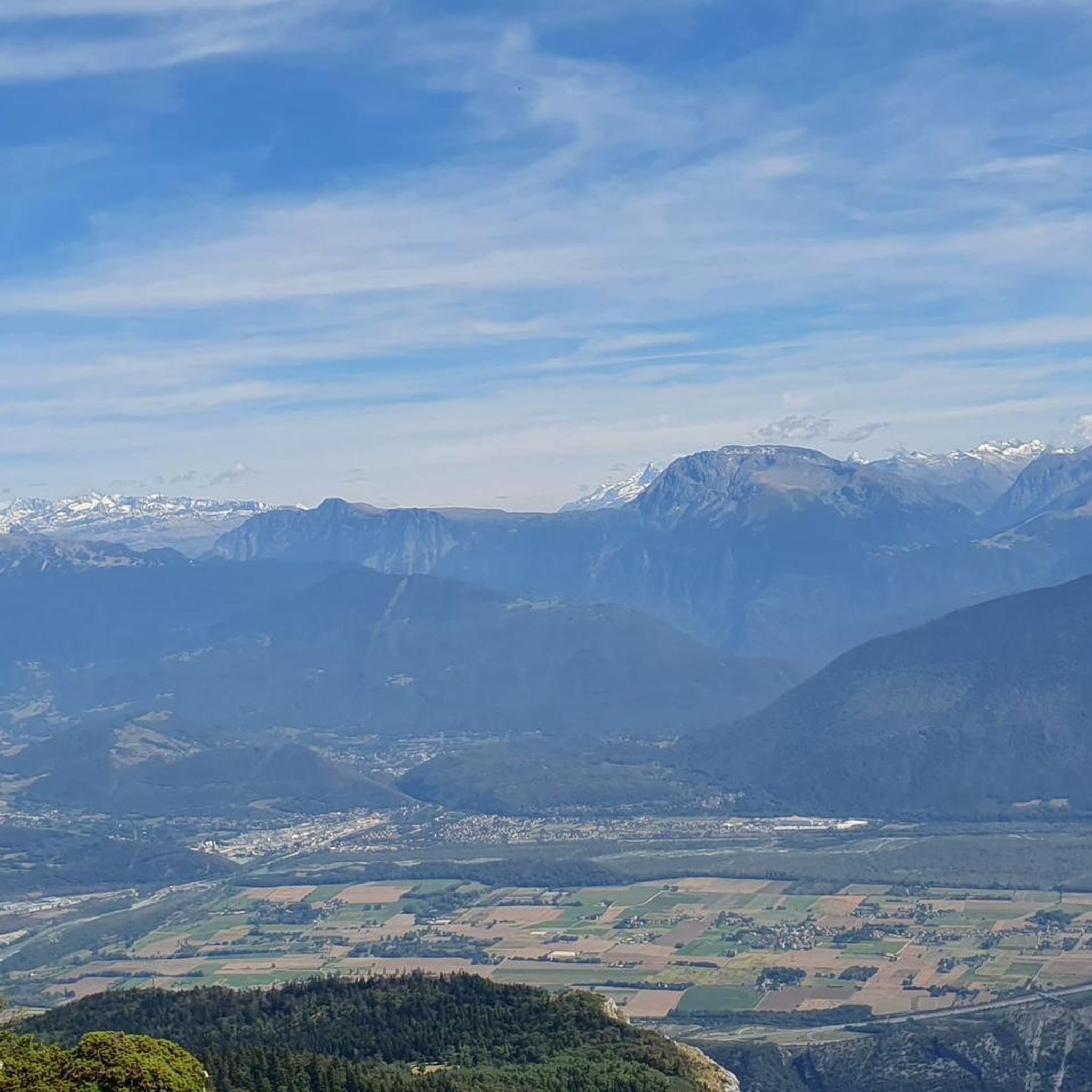
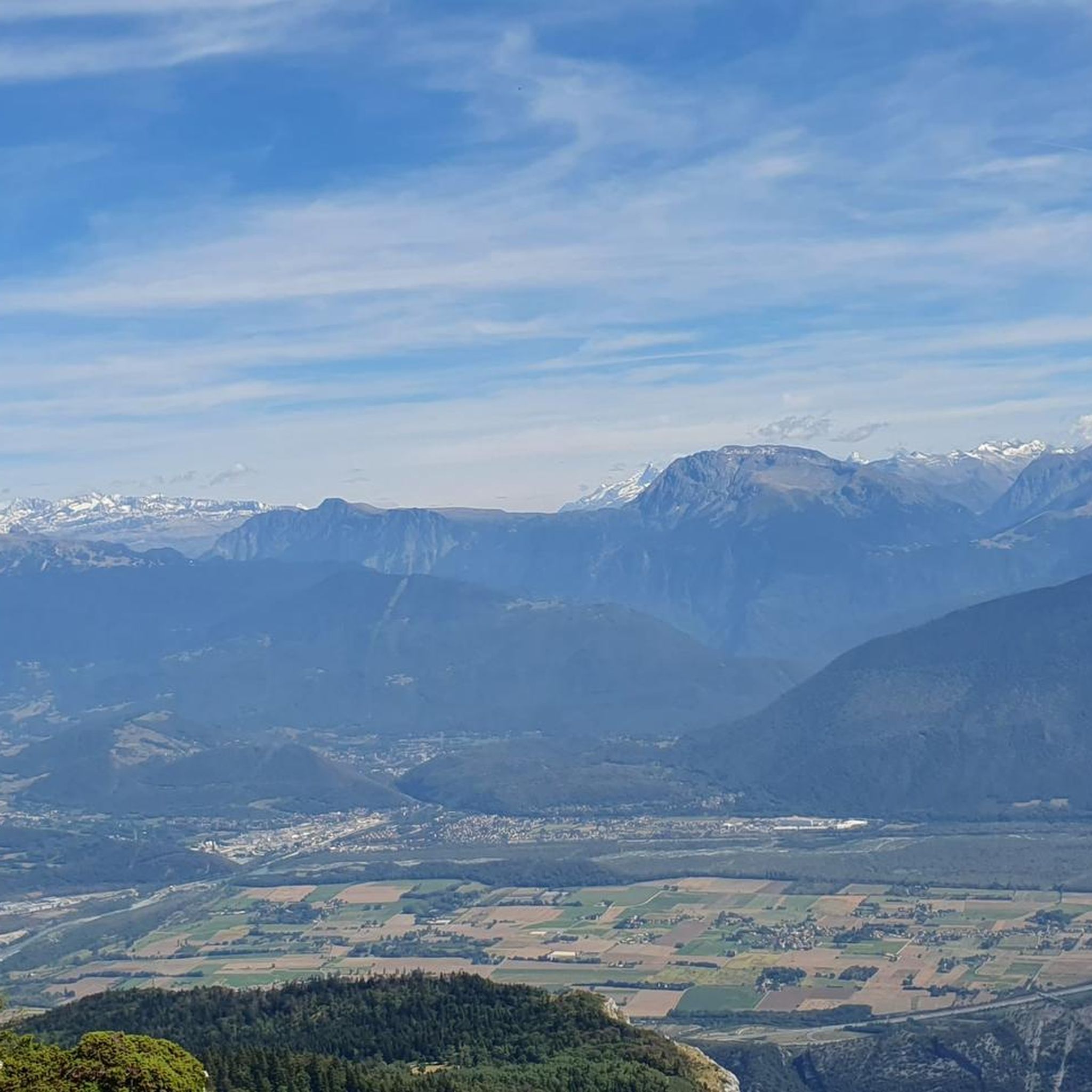
Other adventures around Saint-Paul-De-Varces

Tips from the Community

Technical passage, stay focused and careful on the supports. Magnificent!
0
0


Magnificent view from the summit over Belledonne, Les Rousses, and in the background, Les Écrins. The ridge separating the Gresse valley and the Lans-en-Vercors plateau.
0
0

This hike offers superb panoramas and the arrival at Pic Saint-Michel, if you go clockwise, reveals a breathtaking view of the valley.
0
1
From the top of the Col Vert you can enjoy an exceptional view of the Vercors massif and Grenoble.
0
0

here you can take a breather before climbing
0
0

Second highest peak in the Vercors - and as usual with "second summits" 😆 harder to climb than the Grand Veymont. But, as I did on my tour, it can be crossed from both sides, T4+ to T5 (according to the SAC scale) or climbing sections 1+. I recommend going from northeast to south. More in my tour and in the second waypoint listed here, these are often marked multiple times on Komoot...
1
1
Second highest peak in the Vercors - and as is usual with "second summits" 😆 harder to climb than the Grand Veymont. But it is also possible to cross it here, from both sides T4+ to T5 (according to the SAC scale) or climbing sections 1+. But it is easier at the top than it looks from the northeast, from Lac de Moucherolle. If you have enough time, you can also cross the Petite Moucherolle in another intermediate climb.
0
1
Frequently Asked Questions
How many mountaineering routes are available around Saint-Paul-De-Varces?
There are 15 mountaineering routes around Saint-Paul-De-Varces listed on komoot. These routes offer a mix of challenges, with 9 rated as moderate and 6 as difficult, catering to various skill levels.
What kind of terrain can I expect on mountaineering routes in the Vercors Massif?
The Vercors Massif, where Saint-Paul-De-Varces is located, is characterized by dramatic limestone cliffs, deep gorges, and expansive plateaus. You'll encounter diverse terrain, from challenging rocky ascents to paths through dense forests and scenic valleys.
Are there any circular mountaineering routes in the area?
Yes, several circular routes are available. For a moderate option, consider the Pic Saint-Michel (1966 m) – Arc Pass loop from Parking des Barnets, which is about 9 km long. Another popular choice is the Col Vert loop from Piste olympique de luge de Villard-de-Lans, covering approximately 11.9 km.
What are some notable natural landmarks or viewpoints along the routes?
Many routes offer stunning views and pass by significant natural landmarks. You can reach the Saint-Michel Peak for panoramic vistas, or traverse the Arc Pass. The region also features the impressive The Moucherotte Summit and the unique Corrençon Natural Icehouse.
Are there any challenging mountaineering routes for experienced climbers?
Yes, the region offers several difficult routes for experienced mountaineers. One such challenging option is the Highly technical passage loop from Château-Bernard, which spans over 15 km and involves significant elevation gain, making it a demanding ascent.
What other outdoor activities are popular in the Vercors Massif besides mountaineering?
The Vercors Massif is a hub for diverse outdoor activities. Beyond mountaineering, you can enjoy extensive hiking on over 4,000 km of marked trails, rock climbing on numerous crags, canyoning in deep gorges like Canyon du Furon, caving, Via Ferrata, mountain biking, road cycling, and paragliding. In winter, it transforms into a destination for skiing, ski touring, and snowshoeing.
What do other mountaineers say about the routes around Saint-Paul-De-Varces?
The mountaineering routes around Saint-Paul-De-Varces are highly regarded by the komoot community, with an average rating of 4.8 stars from over 20 reviews. Mountaineers often praise the dramatic scenery, varied terrain, and the rewarding views from peaks like Pic Saint-Michel.
Are there any routes that offer views towards Pic Saint-Michel?
Yes, the Auberge des Allières – Pic Saint-Michel (1966 m) loop from Parking des Barnets is a great option. This moderate 8.2 km route leads through alpine meadows and provides excellent views towards Pic Saint-Michel, typically taking around 3 hours 15 minutes to complete.
What is the best time of year for mountaineering in Saint-Paul-De-Varces?
The Vercors Massif offers opportunities year-round. While summer and autumn provide ideal conditions for mountaineering with stable weather and clear trails, spring can be beautiful with blooming flora, and winter opens up possibilities for ski touring and snowshoeing, though requiring specific gear and expertise for mountaineering.
Are there any historical or cultural points of interest near the mountaineering routes?
Yes, the region has several historical sites. You can find castles like Château de Vizille or the Plateau de Château Julien. The Church of Château-Bernard is another notable religious building in the vicinity.
Are there any routes that explore the unique karstic features of the Vercors?
The karstic nature of the Vercors Massif is evident throughout the region. While specific mountaineering routes might not directly enter caves, the landscape itself is shaped by these geological processes. For a direct experience, the Vercors is renowned for caving, with a labyrinth of underground caves to explore.
Most popular routes around Saint-Paul-De-Varces
Most popular attractions around Saint-Paul-De-Varces

Get inspired with the komoot mobile app


Explore more
Browse the best Mountain Hikes & Routes in other regions.
