The best walks and hikes around Saint-Mammès
4.5
(1935)
9,455
hikers
401
hikes
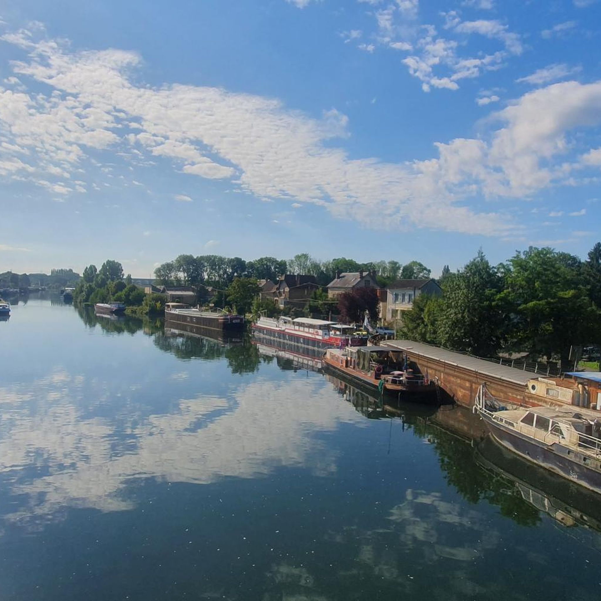
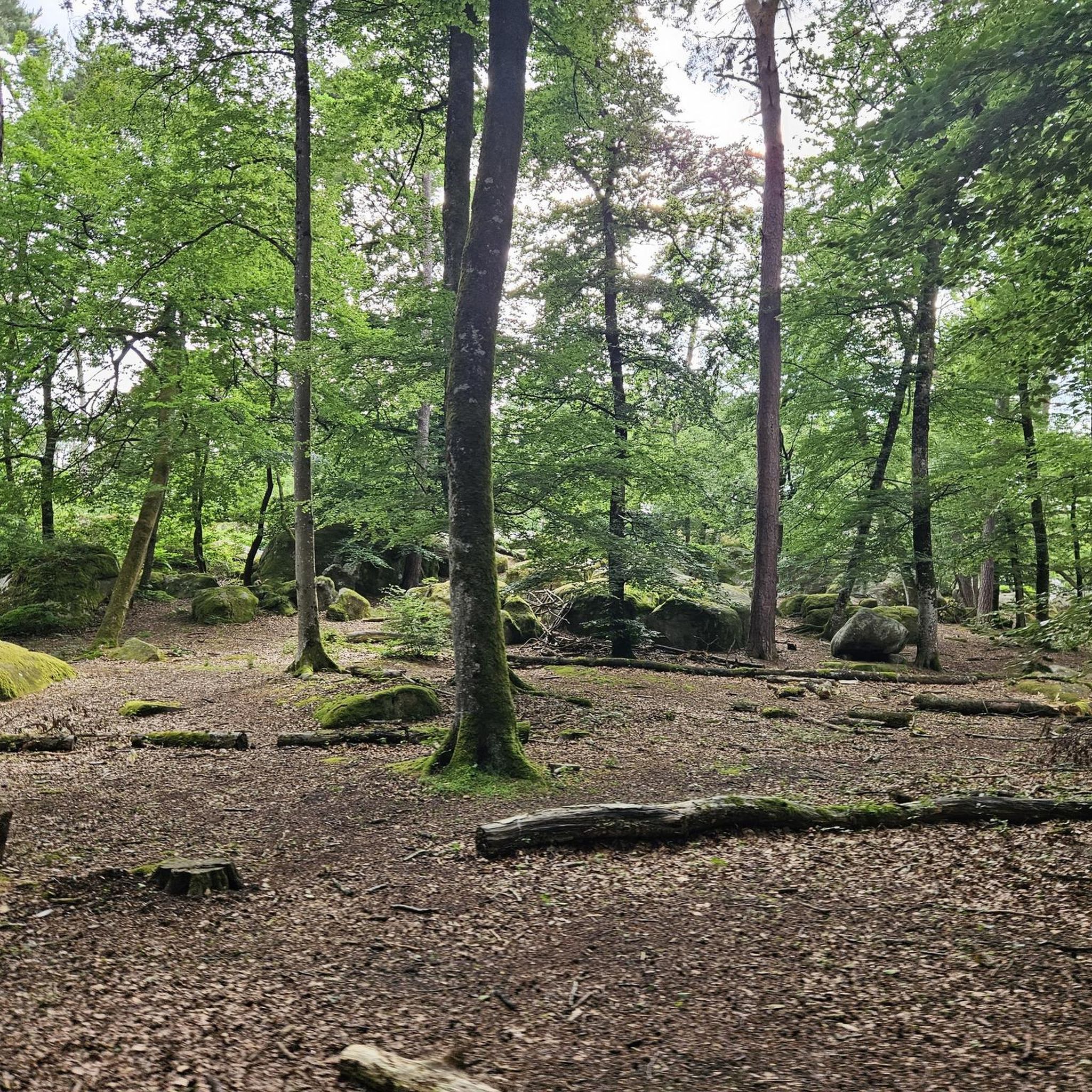
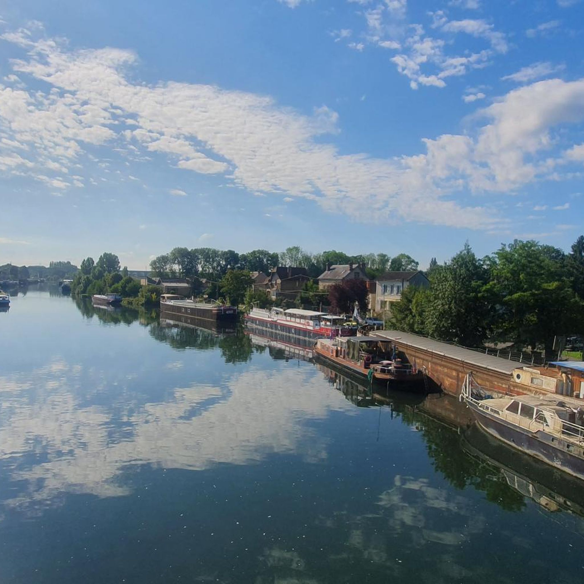
Hiking trails around Saint-Mammès offer diverse landscapes at the confluence of the Seine and Loing rivers. The region provides access to the southern part of the Fontainebleau Forest, known for its varied terrain including sandstone blocks and rocky outcrops. Trails feature waterside paths along restored quays and towpaths, as well as shaded forest routes. Elevated paths like the "Chemin des Herces" provide views of the rivers and the town.
Best hiking trails around Saint-Mammès
- The most popular hiking route is…
Last updated: July 16, 2026
4.7
(6)
93
hikers
Easy hike. Great for any fitness level. Easily-accessible paths. Suitable for all skill levels.
3.9
(9)
30
hikers
Moderate hike. Good fitness required. Easily-accessible paths. Suitable for all skill levels.

Sign up for free
4.4
(5)
21
hikers
18.9km
04:59
170m
170m
Moderate hike. Good fitness required. Easily-accessible paths. Suitable for all skill levels.
4.8
(4)
14
hikers
Hard hike. Very good fitness required. Easily-accessible paths. Suitable for all skill levels.
4.3
(6)
70
hikers
Easy hike. Great for any fitness level. Easily-accessible paths. Suitable for all skill levels.
Get access to more routes and recommendations from other explorers.
Sign up for free
Already have an account?
Our route recommendations are based on thousands of hikes, rides, and runs completed by other people on komoot.
Start today with a free account
Your next adventure awaits.
Login or Signup


Tips from the Community

The church was built between the 13th and 15th centuries on the site of an earlier church. The nave is 46 meters long and 21 meters high.
1
0
The former fortress and picturesque medieval town of Moret-sur-Loing lies on the edge of the Fontainebleau Forest and the peacefully flowing Loing River. This postcard-perfect town is indeed extremely photogenic. The most beautiful views are from the old bridge or from the right bank of the Loing.
1
0

Perfect for rock climbing!!
0
0
A real warm-up in the rocks!!
0
0
Beautiful view of the forest!!
0
0


You can also swim in the Loing River here. A lively, picturesque spot.
0
0

Very pretty entrance to the city
0
0
Frequently Asked Questions
How many hiking trails are available in Saint-Mammès?
There are over 400 hiking routes in and around Saint-Mammès, offering a wide variety of experiences. These include easy riverside strolls and more challenging forest explorations within the nearby Fontainebleau Forest.
What makes hiking in Saint-Mammès unique?
Saint-Mammès is uniquely situated at the confluence of the Seine and Loing rivers, offering picturesque waterside walks along restored quays and towpaths. It also provides direct access to the southern part of the renowned Fontainebleau Forest, known for its varied landscapes, unique sandstone blocks, and rocky outcrops. The area blends natural beauty with cultural elements, including trails inspired by Impressionist painter Alfred Sisley.
Are there easy hiking trails suitable for beginners or casual walkers?
Yes, Saint-Mammès offers nearly 200 easy hiking routes. A great option for a relaxed walk is the Saint-Mammès Marina – Pont de Moret-sur-Loing loop from Saint-Mammès, which is an easy 3.7-mile (5.9 km) trail along the river.
Can I find challenging hikes for experienced hikers in the area?
Absolutely. For those seeking a challenge, there are nearly 40 difficult routes available. An example is the Carrosse Rock – Béatrix Cave loop from Moret-sur-Loing - Veneux-les-Sablons, a demanding 15-mile (24.1 km) trail that explores rocky formations and forest terrain.
Are the hiking trails in Saint-Mammès suitable for families?
Many trails in Saint-Mammès are suitable for families, especially the easier, flatter routes along the rivers. These paths offer gentle terrain and scenic views, perfect for a family outing. Look for routes marked as 'easy' on komoot for the most family-friendly options.
Are the trails in Saint-Mammès dog-friendly?
Generally, dogs are welcome on many of the hiking trails in Saint-Mammès and the surrounding Fontainebleau Forest, provided they are kept on a leash. It's always a good idea to check specific trail regulations or local signage, especially in protected natural areas.
What kind of landscapes can I expect to see on the trails?
You can expect a diverse range of landscapes. Many trails follow the serene banks of the Seine and Loing rivers. Inland, you'll find yourself in the Fontainebleau Forest, characterized by shaded paths, unique sandstone blocks, rocky outcrops, and areas like the 'Mare aux Évées' with ponds and forest stands.
Are there any historical or cultural points of interest along the hiking trails?
Yes, the region is rich in history and culture. You can encounter a beautiful Romanesque church in Saint-Mammès. The 'Sisley Trails' feature reproductions of Impressionist painter Alfred Sisley's works, offering a cultural dimension to your walk. Additionally, you might pass by landmarks like the Pont de Moret-sur-Loing or explore natural features like the Béatrix Cave.
Where can I find the best viewpoints in the Saint-Mammès area?
For excellent views, consider the 'Chemin des Herces,' an elevated path that offers beautiful panoramas of the Seine, the Loing, and the town of Saint-Mammès itself. Within the Fontainebleau Forest, areas like the 'Rocher Cuvier-Chatillon' and 'Camp de Chailly' also provide superb viewpoints over the varied forest landscape.
What do other hikers enjoy most about hiking in Saint-Mammès?
The area is highly rated by the komoot community, with an average score of 4.6 stars from over 1600 reviews. Hikers often praise the diverse scenery, from tranquil riverside paths to the unique rock formations and shaded trails of the Fontainebleau Forest. The well-maintained paths and the blend of natural and cultural sights are frequently highlighted.
Are there any circular hiking routes available?
Yes, many of the hiking routes in Saint-Mammès are designed as circular loops, allowing you to start and end at the same point. For example, the Hollow Rocks – Porte de Samois loop from Saint-Mammès is a moderate 11.5-mile (18.5 km) circular trail that takes you through forest areas and past rocky formations.
Can I access hiking trails in Saint-Mammès using public transport?
Saint-Mammès is accessible by public transport, which can help you reach the starting points of various trails. Checking local train or bus schedules to Saint-Mammès or nearby towns like Moret-Loing-et-Orvanne is recommended to plan your access to the trailheads.
Are there specific trails that highlight the river confluence?
Yes, trails directly along the Seine and Loing rivers are perfect for experiencing the unique confluence. The waterside paths offer direct views of where the two rivers meet, providing a distinct 'waterway culture' experience.
Most popular routes around Saint-Mammès
Most popular attractions around Saint-Mammès

Get inspired with the komoot mobile app


Explore more
Browse the best Hikes in other regions.
