The best walks and hikes around Locmaria
4.7
(402)
5,224
hikers
52
hikes
Hiking around Locmaria offers diverse landscapes across several distinct locations in Brittany, France. The region features a blend of wild coastlines with sandy beaches, dramatic cliffs, and deep valleys, alongside rural bocage and hedged farmland paths. Inland areas include forests with chaotic rock formations and ancient mining heritage. Coastal trails provide views of both the Atlantic Ocean and the calmer waters of the Gulf of Morbihan.
Best hiking trails around Locmaria
- The most popular hiking route is Plage des Galères – Port Andro Beach loop from Les Grands Sables, a 16.1 miles (25.9 km) trail that takes 7 hours to complete. This difficult route explores coastal sections and offers expansive views.
- Another top favourite among local hikers is La Belle Fontaine – Plage des Galères loop from Grand-Sables, a difficult 16.0 miles (25.8 km) path. This route also features significant coastal stretches and elevation changes.
- Local hikers also love the Port Andro Beach – Plage des Galères loop from Locmaria, a 6.9 miles (11.2 km) trail leading through coastal areas and beaches, often completed in about 3 hours.
- Hiking around Locmaria is defined by wild coastlines, hedged farmland paths, and forested areas with unique rock formations. The network offers options for different ability levels, from moderate coastal walks to more challenging long-distance routes.
- The routes in Locmaria are highly rated by the komoot community with an average score of 4.6 stars from over 350 reviews. More than 4000 hikers have used komoot to explore Locmaria's varied terrain.
Last updated: July 5, 2026
4.8
(127)
1,554
hikers
25.8km
06:57
320m
320m
Hard hike. Very good fitness required. Easily-accessible paths. Suitable for all skill levels.
4.8
(116)
1,464
hikers
25.4km
06:53
340m
340m
Hard hike. Very good fitness required. Easily-accessible paths. Suitable for all skill levels.

Sign up for free
4.6
(20)
334
hikers
29.9km
08:06
410m
410m
Hard hike. Very good fitness required. Easily-accessible paths. Suitable for all skill levels.
4.6
(36)
649
hikers
27.9km
07:35
410m
410m
Hard hike. Very good fitness required. Easily-accessible paths. Suitable for all skill levels.
4.9
(37)
300
hikers
20.7km
05:40
320m
320m
Hard hike. Very good fitness required. Easily-accessible paths. Suitable for all skill levels.
Get access to more routes and recommendations from other explorers.
Sign up for free
Already have an account?
Our route recommendations are based on thousands of hikes, rides, and runs completed by other people on komoot.
Start today with a free account
Your next adventure awaits.
Login or Signup
Tips from the Community

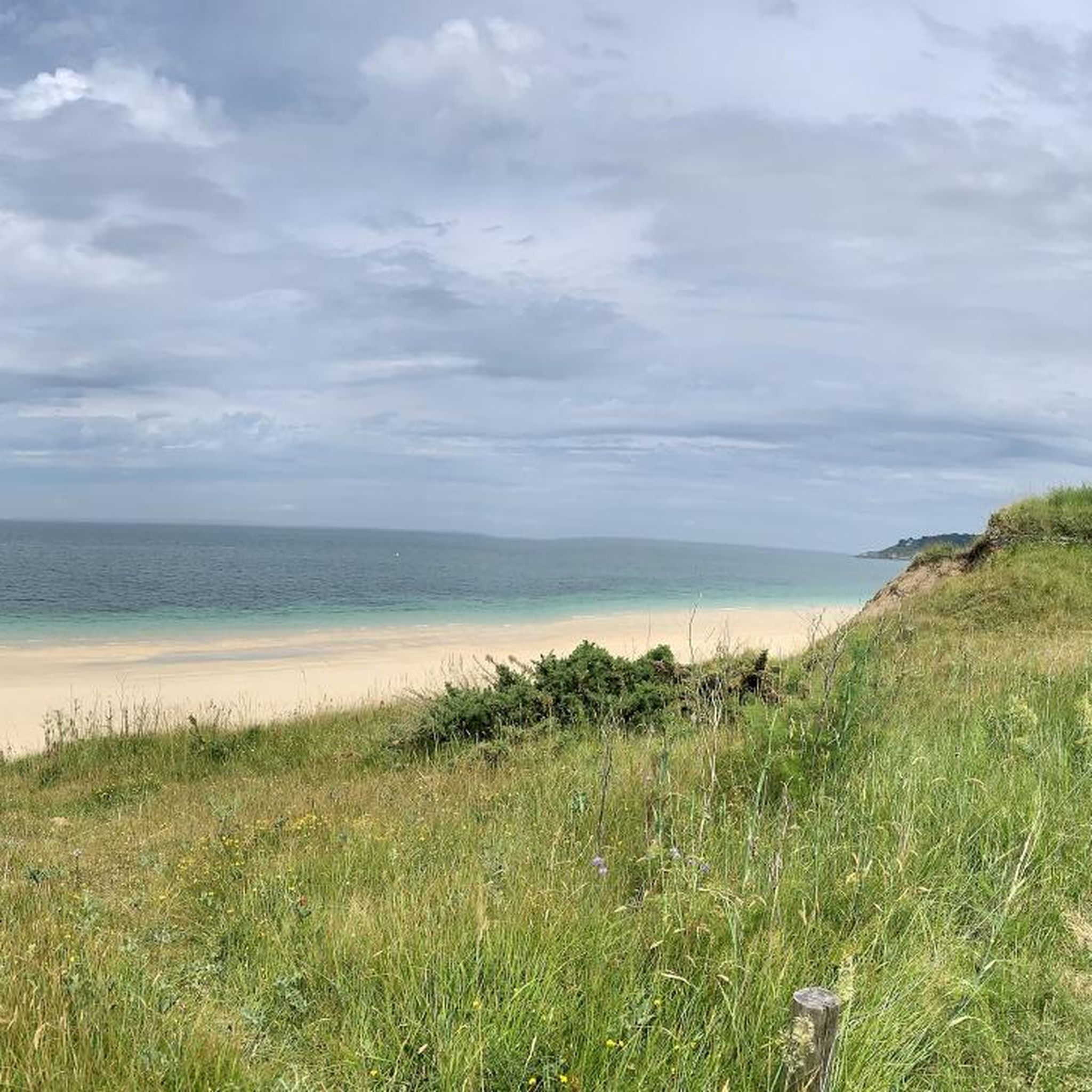
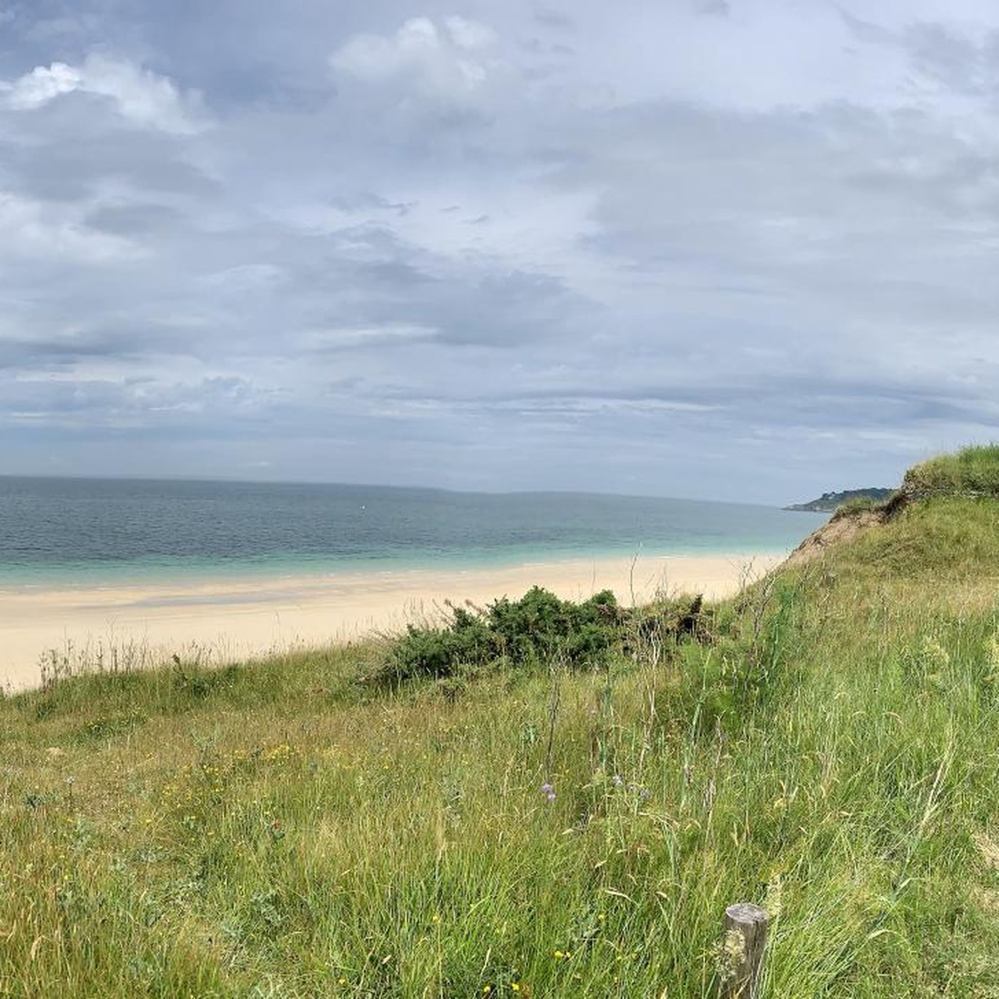
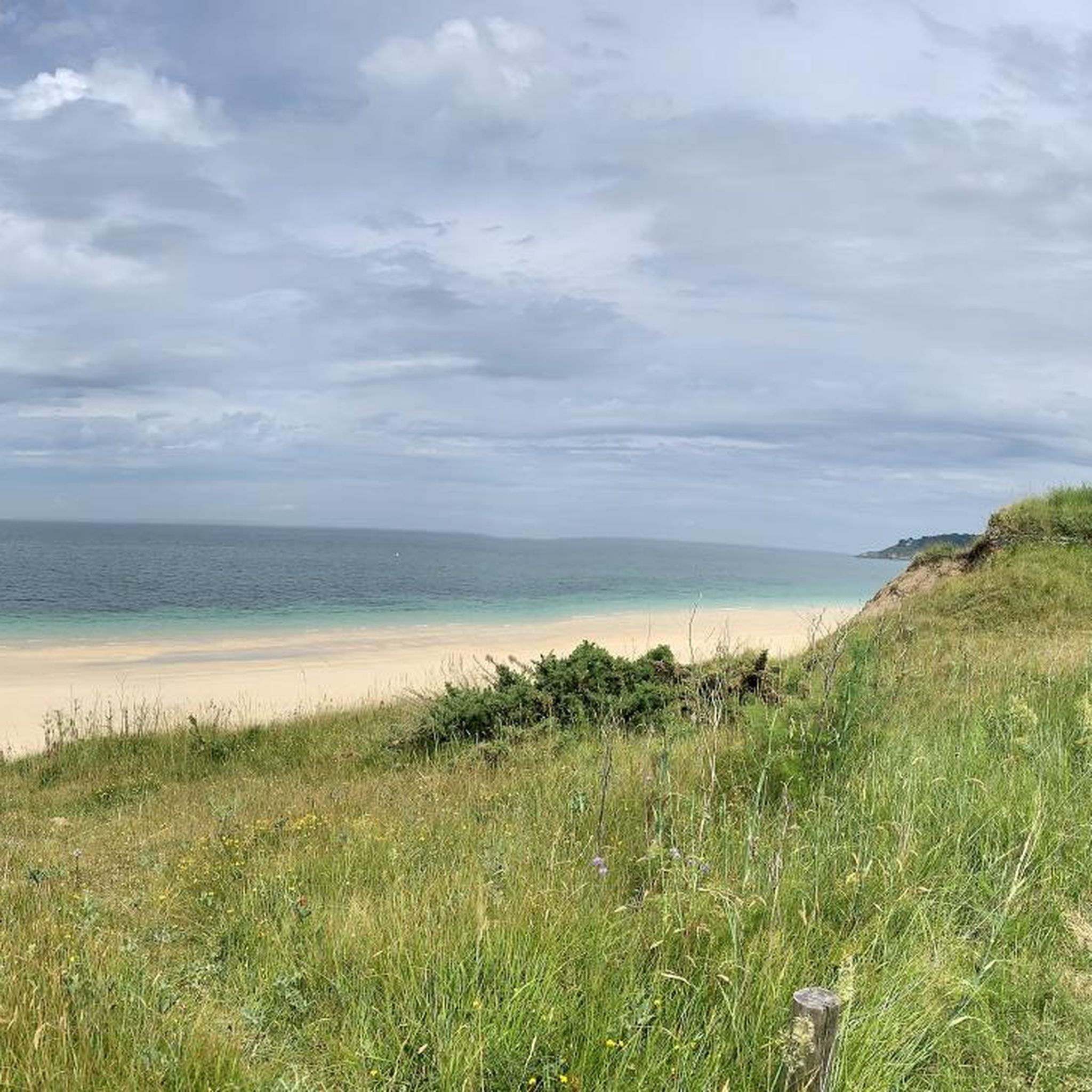
As you walk up the coastal path to the Panorama de la Plage d'Herlin, you'll be rewarded with breathtaking panoramic views of the breathtaking Brittany coastline. This iconic viewpoint offers stunning views of the turquoise waters of the Atlantic Ocean, the golden sands of Herlin Beach and the dramatic cliffs that frame the coastline.
0
0

Built in 1070, this church is the oldest on Belle-Île-en-Mer. It is located in Locmaria, in the east of the island.
1
0

Fine sand
0
0

The Aiguade was built in 1696 to collect water from a spring and provide drinking water for the king's ships. It was probably Vauban, Louis XIV's great military engineer, who took the initiative to build it during his stays on Belle-Île (between 1683 and 1689). This is why it is also called the Aiguade Vauban. Together with the Royal Fountain of St-Nazaire near Rochefort, the Belle Fontaine is the only building still standing in France! It was the first building on the island of Belle-Île to be listed as a historical monument in 1993. The reservoir, with a capacity of 850,000 litres, is 22.5 metres long, 6.5 metres wide and 6 metres deep. It is protected by a stone arched vault whose reflection in the water gives the impression of a cylindrical structure. From a small terrace, you have a beautiful view over the small bay where ships used to anchor and send their shallow-draft dinghies to the Aiguade to take in the water. In 2012, the entire ensemble was completely renovated. Several panels provide information about the history of the building.
2
0

This is a type of freshwater cistern for military shipping that was built in the 17th century. It is part of the Vauban facilities on Belle Ile.
2
0

This beautiful beach is one of the first when coming from Palais. Its translucent waters make it a very beautiful swimming spot but also a nice place to take a pleasant break.
1
0
With a length of approximately 600 meters, this point overlooks the sea by around fifty meters. Isolated at its end, we find the rock called Djuir.
1
0
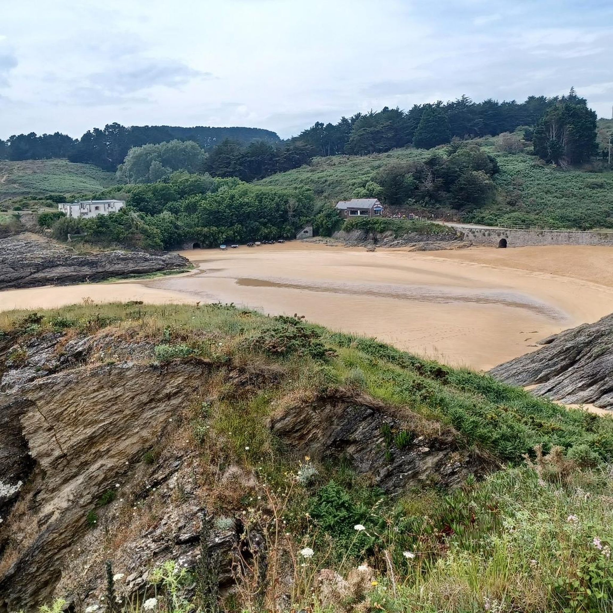
Magnificent little beach not far from the hamlet of the same name. Its turquoise waters invite you to take a nice break on the sand.
1
0
Frequently Asked Questions
How many hiking trails are available in Locmaria?
There are over 45 hiking routes around Locmaria, offering a wide variety of experiences. These include 28 easy trails, 15 moderate routes, and 6 more challenging options for experienced hikers.
What types of landscapes can I expect to see while hiking in Locmaria?
Locmaria offers incredibly diverse landscapes. You can explore wild coastlines with sandy beaches, dramatic cliffs, and deep valleys, particularly around Locmaria-Plouzané and Belle-Île-en-Mer. Inland, you'll find rural bocage, hedged farmland paths, and forested areas with unique rock formations and ancient mining heritage, especially near Mines De Locmaria-Berrien. Coastal trails also provide views of both the Atlantic Ocean and the calmer waters of the Gulf of Morbihan.
Are there easy hiking options in Locmaria suitable for beginners?
Yes, Locmaria offers 28 easy hiking trails. These routes are generally less demanding and perfect for beginners or those looking for a relaxed stroll. Many coastal paths and some inland routes provide gentle terrain and beautiful scenery without significant elevation changes.
Are there challenging long-distance hikes in Locmaria?
For experienced hikers seeking a challenge, Locmaria features 6 difficult routes. An example is the Plage des Galères – Port Andro Beach loop from Les Grands Sables, which is 16.1 miles (25.9 km) long and involves significant elevation changes along coastal sections. Another demanding option is the Port Blanc – Port Andro Beach loop from Grand Cosquet, covering 16.6 miles (26.7 km) with varied terrain.
What natural attractions or landmarks can I discover along the trails?
Hiking in Locmaria allows you to discover various natural attractions. You can enjoy stunning views from Panorama from Pouldon or View of Plage d'Herlin. The coastline also features unique formations like the Rock arch near Kerbéllec and the Rocher Percé Rippiler at Port Goulphar. Additionally, you can find serene spots like Port Maria Cove.
Are there any historical sites to explore while hiking in Locmaria?
Yes, particularly in Locmaria-Plouzané, you can encounter historical relics such as the Lesconvel chapel, the Kereven menhir, and the impressive Keriscoualc'h stele emerging from the vegetation along the paths. The Mines De Locmaria-Berrien area also offers trails that explore the region's ancient mining heritage.
Are there circular hiking routes in Locmaria?
Many of the trails in Locmaria are designed as circular routes, allowing you to start and end at the same point. For example, the Port Andro Beach – Plage des Galères loop from Locmaria is a moderate 6.9-mile (11.2 km) circular trail that takes you through coastal areas and beaches.
What do other hikers say about the trails in Locmaria?
The hiking routes in Locmaria are highly rated by the komoot community, with an average score of 4.6 stars from over 350 reviews. More than 4,000 hikers have used komoot to explore the varied terrain, often praising the wild coastlines, diverse landscapes, and well-maintained paths.
Is public transport available to reach hiking areas in Locmaria?
While specific public transport details vary by the exact 'Locmaria' location, areas like Belle-Île-en-Mer are accessible by ferry, and local bus services often connect the main towns and some coastal areas. It's advisable to check local transport schedules for the specific Locmaria you plan to visit, especially for reaching trailheads.
What is the best time of year to go hiking in Locmaria?
The best time for hiking in Locmaria is generally from spring through early autumn (April to October). During these months, the weather is typically mild and pleasant, with blooming flowers in spring and warmer temperatures in summer. The coastal paths on Belle-Île-en-Mer are particularly beautiful when the meadows are in bloom.
Are dogs allowed on the hiking trails in Locmaria?
Many outdoor areas in Brittany, including various Locmaria locations, are generally dog-friendly, especially on coastal paths and rural trails. However, it's always recommended to keep dogs on a leash, particularly in nature reserves, near livestock, or on popular beaches during peak season. Always check local signage for specific restrictions.
Are there opportunities for wild swimming near the hiking trails?
Yes, particularly along the coastlines of Locmaria-Plouzané and Belle-Île-en-Mer, you'll find numerous sandy beaches and coves suitable for wild swimming. Beaches like Porsmilin, Portez, and Trégana in Locmaria-Plouzané, and the beautiful beaches on Belle-Île-en-Mer, offer refreshing dips after a hike.
Most popular attractions around Locmaria

Get inspired with the komoot mobile app


Explore more
Browse the best Hikes in other regions.
