The best walks and hikes around Pierre-Bénite
4.4
(1080)
11,599
hikers
667
hikes
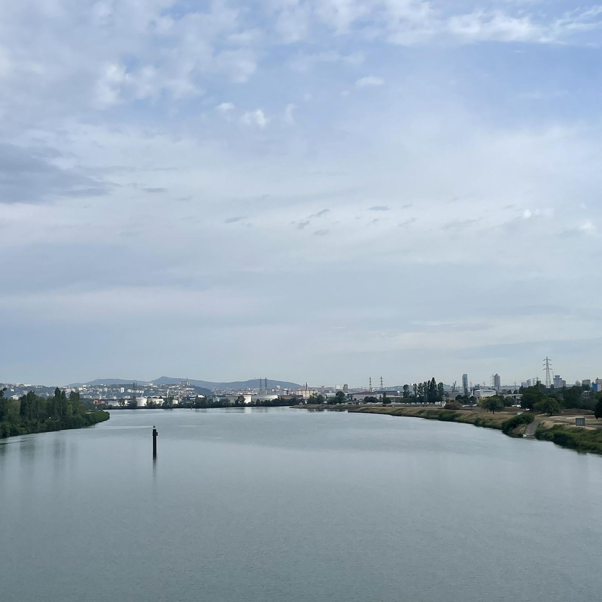
Hiking trails near Pierre-Bénite offer access to diverse landscapes along the Rhône river and within the town's green spaces. The area features riverside paths, urban parks, and provides a gateway to the more varied terrain of the Monts du Lyonnais. This region is characterized by its blend of natural riverine environments and accessible parklands, suitable for various outdoor activities.
Best hiking trails around Pierre-Bénite
- The most popular hiking route is Côte-Lorette Fort – Fort de Côte-Lorette Memorial loop from Oullins Centre, a 9.6 miles (15.5 km) trail that takes 4 hours 8 minutes to complete. This moderate route combines historical landmarks with natural paths.
- Another top favourite among local hikers is Along the Garon River – Château de Montaland washhouse loop from Saint-Genis-Laval Hôpital Lyon Sud, a difficult 12.3 miles (19.8 km) path. This trail follows the Garon River, offering varied scenery and a significant elevation gain.
- Local hikers also love the Côte-Lorette Fort – Lyon Observatory loop from Le Revoyet, a 5.2 miles (8.3 km) trail leading through suburban and natural areas, often completed in about 2 hours 15 minutes.
- Hiking around Pierre-Bénite is defined by riverside paths along the Rhône, accessible green spaces, and routes offering views towards the Monts du Lyonnais. The network offers options for easy walks to more challenging routes with significant elevation changes.
- The routes in Pierre-Bénite are highly rated by the komoot community with an average score of 4.4 stars from over 900 reviews. More than 10,000 hikers have used komoot to explore Pierre-Bénite's varied terrain.
Last updated: July 5, 2026
4.8
(5)
24
hikers
Moderate hike. Good fitness required. Easily-accessible paths. Suitable for all skill levels.
5.0
(2)
9
hikers
Hard hike. Very good fitness required. Easily-accessible paths. Suitable for all skill levels.

Sign up for free
5.0
(1)
13
hikers
Moderate hike. Good fitness required. Easily-accessible paths. Suitable for all skill levels.
5.0
(1)
8
hikers
12.6km
03:32
240m
240m
Moderate hike. Good fitness required. Easily-accessible paths. Suitable for all skill levels.
4
hikers
18.0km
04:53
260m
260m
Moderate hike. Good fitness required. Easily-accessible paths. Suitable for all skill levels.
Get access to more routes and recommendations from other explorers.
Sign up for free
Already have an account?
Our route recommendations are based on thousands of hikes, rides, and runs completed by other people on komoot.
Start today with a free account
Your next adventure awaits.
Login or Signup

Tips from the Community

It's not just the washhouse, the site and the path leading to it are superb, you must continue the path after the washhouse.
0
0

Edit The ancient aqueducts of Lyon supplied the Gallo-Roman city of Lugdunum. Located largely on Fourvière Hill, the city reached an altitude of 300 meters (compared to 160 meters for the lower town on the banks of the Saône). Furthermore, few springs emerged from the hill, and none above the Trion threshold. In order to provide drinking water throughout the city, it was necessary to draw water from the nearby mountain ranges (Monts d'Or, Monts du Lyonnais, Pilat massif) via a system of aqueducts.
0
0

Nice outing but very brittle 🥵
0
0

very impressive
0
0

Not far from the town, in this wood there are a multitude of very pleasant little trails
1
0

The washhouse of Montaland Castle is nestled in the heart of a green setting. This small stone building, located near a natural spring, bears witness to the importance of water in daily life in the past. Accessible via a pleasant path, the washhouse is surrounded by lush vegetation.
0
0

Frequently Asked Questions
How many hiking trails are available around Pierre-Bénite?
There are over 650 hiking routes available around Pierre-Bénite, catering to various skill levels. This includes more than 390 easy routes, 250 moderate trails, and 16 more challenging options for experienced hikers.
What types of landscapes can I expect to see on hikes near Pierre-Bénite?
Hikes around Pierre-Bénite offer a diverse mix of landscapes. You can explore pleasant riverside paths along the Rhône, enjoy the town's well-maintained green spaces like Georges Manillier Park, and find routes that provide views towards the more varied terrain of the Monts du Lyonnais. Some trails also blend urban and natural scenery.
Are there easy hiking options suitable for beginners or families in Pierre-Bénite?
Yes, Pierre-Bénite offers many easy hiking options perfect for beginners or families. With over 390 easy routes, you can find gentle walks through local parks or along the Rhône river. These trails are generally accessible and provide a pleasant outdoor experience without significant elevation changes.
Are there any challenging hikes for experienced trekkers near Pierre-Bénite?
For experienced trekkers seeking a challenge, there are 16 difficult routes available. An example is the Along the Garon River – Château de Montaland washhouse loop from Saint-Genis-Laval Hôpital Lyon Sud, which is a 12.3-mile path with significant elevation gain, following the Garon River and offering varied scenery.
Can I find circular hiking routes near Pierre-Bénite?
Yes, many hiking routes around Pierre-Bénite are circular. For instance, the Côte-Lorette Fort – Fort de Côte-Lorette Memorial loop from Oullins Centre is a popular moderate circular trail that combines historical landmarks with natural paths. Another option is the Côte-Lorette Fort – Aqueduct of the Gier loop from Oullins Centre.
Are there hikes that follow the Rhône river?
Pierre-Bénite is situated on the banks of the Rhône, offering excellent opportunities for riverside walks. Many routes allow you to explore both banks of the river, including wilder sections. The Feyssine Park, located along the Rhône, is also an ideal spot for walking and cycling.
Are there any historical sites or landmarks to explore on hikes?
Yes, some hiking routes near Pierre-Bénite integrate historical landmarks. The Côte-Lorette Fort – Fort de Côte-Lorette Memorial loop from Oullins Centre is a prime example, combining natural exploration with a visit to a significant historical site. You can also find traces of the ancient Aqueduct of the Gier on certain trails.
What green spaces or parks can I explore in Pierre-Bénite?
Pierre-Bénite is known for its pleasant green spaces. Georges Manillier Park is a significant area spanning over 28,000 m², featuring diverse tree species and recreational facilities. Parc Jean de la Fontaine also provides green areas with amenities like children's games and picnic tables, perfect for a leisurely stroll.
Are the hiking trails around Pierre-Bénite accessible by public transport?
Many hiking areas around Pierre-Bénite and the wider Lyon Metropolis are accessible by public transport. Pierre-Bénite's strategic location near Lyon means you can often reach trailheads using the local public transport network, though specific route details would require checking local transport schedules.
What do other hikers enjoy the most about hiking in Pierre-Bénite?
The hiking experience in Pierre-Bénite is highly rated by the komoot community, with an average score of 4.4 stars from over 900 reviews. Hikers often praise the blend of accessible riverside paths, the tranquility of the green spaces, and the varied terrain that provides options from easy walks to more challenging routes with views towards the Monts du Lyonnais.
Are there any attractions or points of interest near the hiking routes?
Yes, several attractions are accessible from hiking routes around Pierre-Bénite. You might encounter the Feyssine Park, a large park along the Rhône, or the picturesque Saône Gorge Promenade - St. Vincent Footbridge. Further afield, but still accessible, are landmarks like the Basilica of Fourvière and the Museum of Confluences.
Are there any dog-friendly hiking trails in Pierre-Bénite?
While specific regulations can vary, many natural areas and green spaces around Pierre-Bénite are generally dog-friendly, especially on leash. The riverside paths and local parks often welcome dogs, making it possible to enjoy a hike with your canine companion. Always check local signage for any specific restrictions.
Most popular routes around Pierre-Bénite
Most popular attractions around Pierre-Bénite

Get inspired with the komoot mobile app


Explore more
Browse the best Hikes in other regions.
