The best cycling routes around Sailly-Sur-La-Lys
4.5
(517)
3,485
riders
18
rides
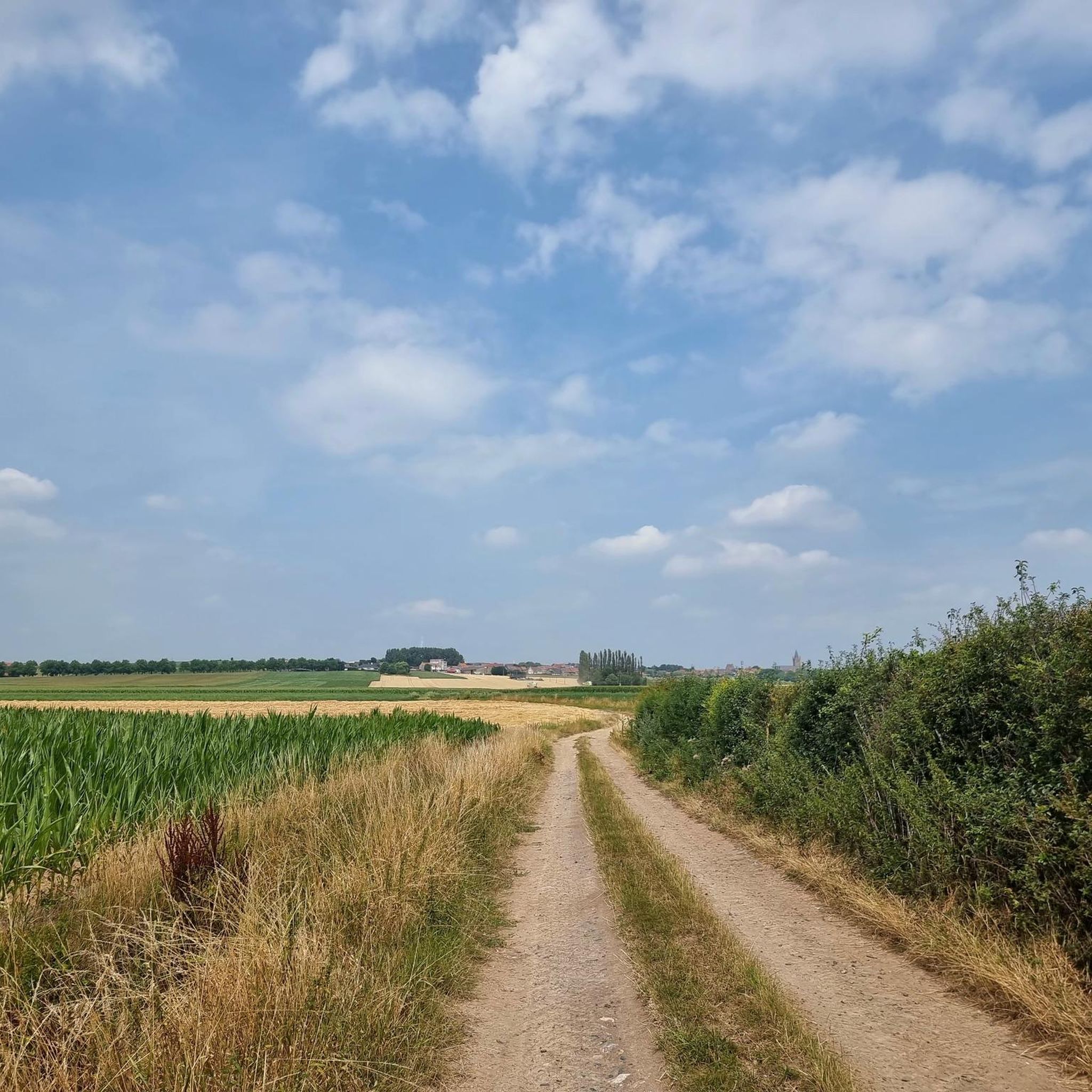
Touring cycling around Sailly-Sur-La-Lys offers routes through the Flemish countryside, characterized by expansive meadows and farmland. The region features gentle elevation changes, with some routes providing moderate climbs up to around 280 meters. The River Lys forms a significant natural boundary, providing tranquil riverside paths and contributing to the area's lush green setting. This landscape provides a blend of accessible cycling and varied terrain for touring cyclists.
Best touring cycling routes around Sailly-Sur-La-Lys
- The most popular touring cycling route is…
Last updated: July 4, 2026
16
riders
106km
06:10
170m
170m
Hard bike ride. Very good fitness required. You may need to push your bike for some segments of this route.
3
riders
56.0km
03:23
370m
370m
Moderate bike ride. Good fitness required. Mostly paved surfaces. Suitable for all skill levels.

Sign up for free
7
riders
53.1km
03:10
350m
350m
Moderate bike ride. Good fitness required. Mostly paved surfaces. Suitable for all skill levels.
5
riders
31.1km
02:00
40m
40m
Hard bike ride. Great for any fitness level. You may need to push your bike for some segments of this route.
3.3
(7)
3
riders
12.6km
00:44
20m
20m
Easy bike ride. Great for any fitness level. Mostly paved surfaces. Suitable for all skill levels.
Get access to more routes and recommendations from other explorers.
Sign up for free
Already have an account?
Our route recommendations are based on thousands of hikes, rides, and runs completed by other people on komoot.
Start today with a free account
Your next adventure awaits.
Login or Signup


Tips from the Community

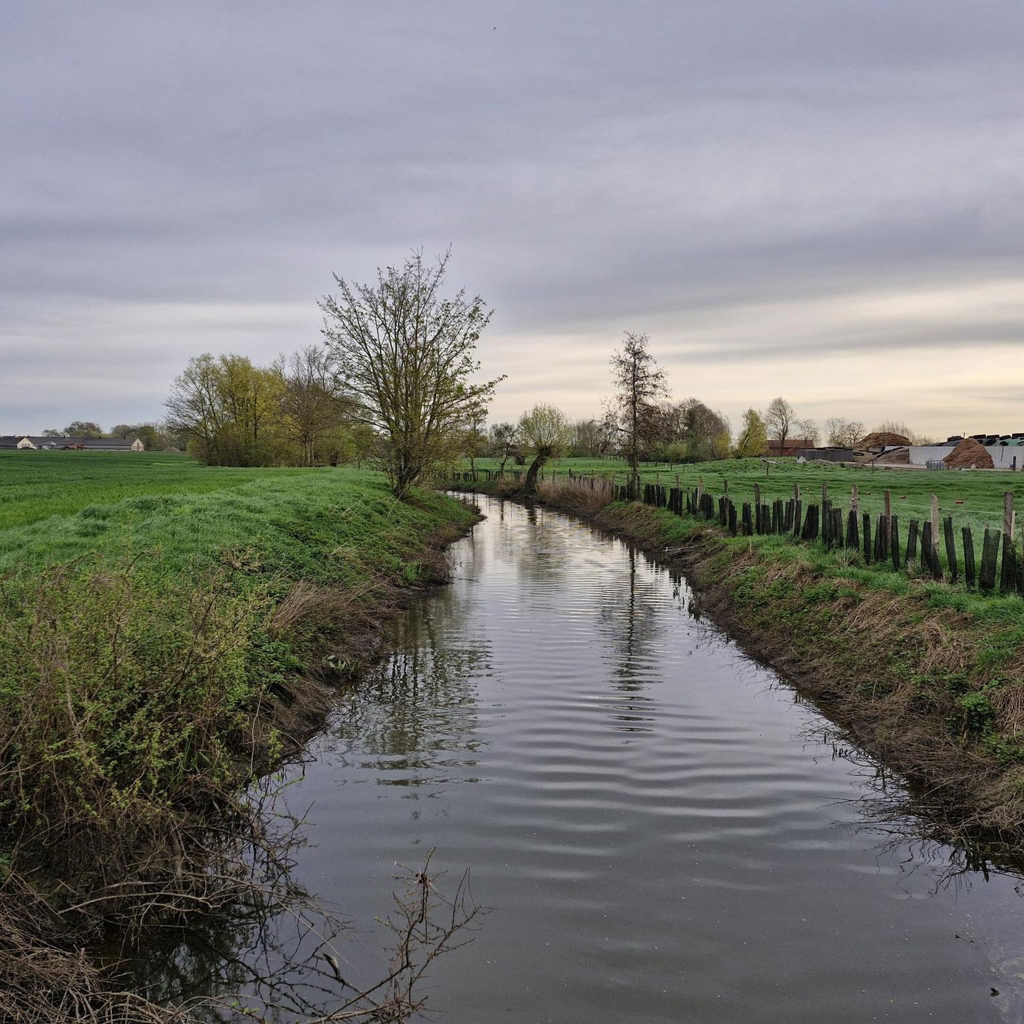
Narrow concrete cycle path along the Lys.
0
0

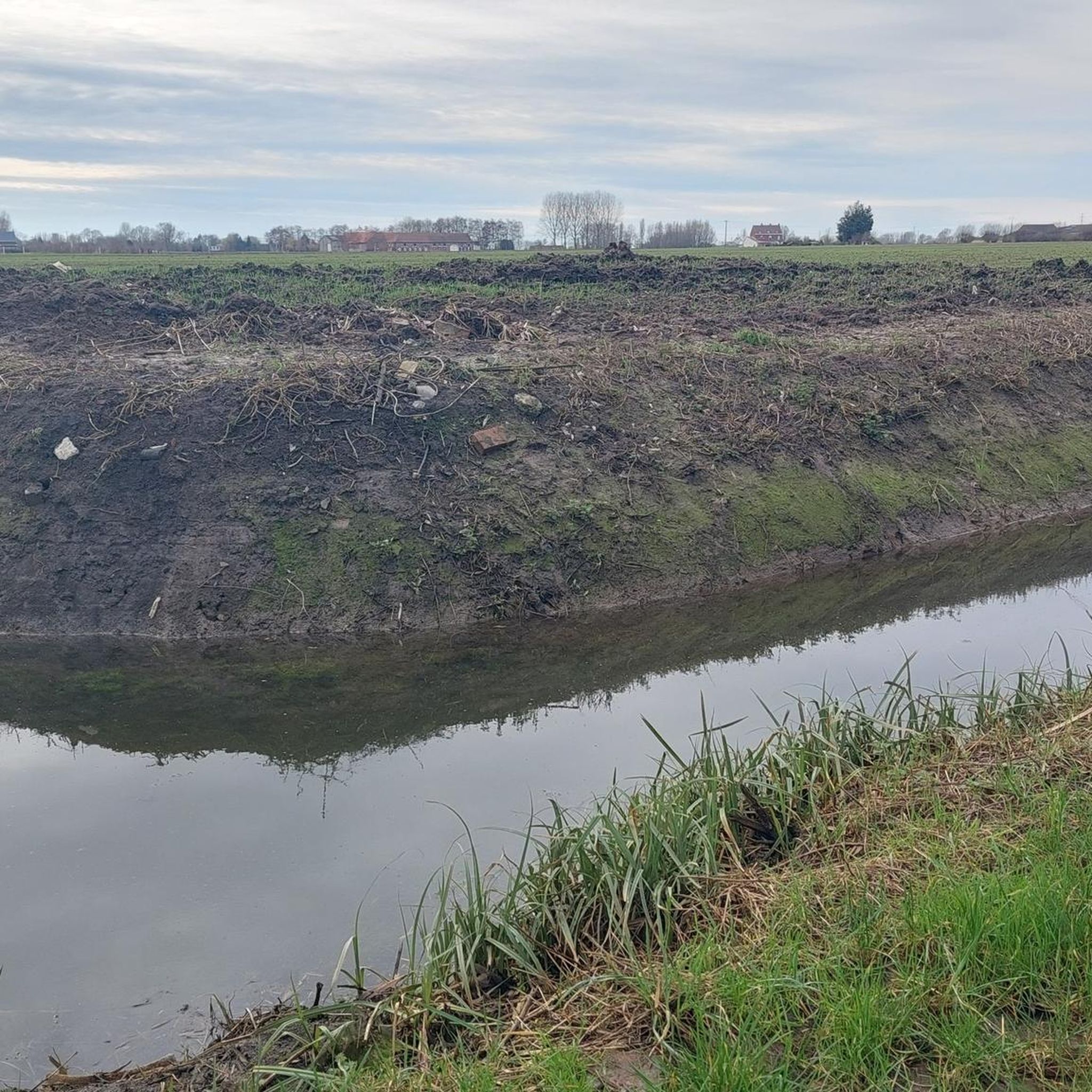
Armentieres is a nice place to go and visit at least once. Too bad the path along the Leie are not maintained, they are in so bad state...
0
0
German military cemetery.
0
0
Imposing monument and beautiful town hall.
0
0


At the top of the Belgium mountains. Hard climb up a cobbled street but worth the effort
0
0
from the main road a new section of cycle path to the Lys.
2
0

Armentières is located on the River Leie, close to the Belgian border. Historically, Armentières was known for its textile industry, particularly the production of linen. During World War I, Armentières was an important location due to its proximity to the front lines. The town was badly damaged during the war and was occupied by German troops from April to October 1918. It was also the site of the Battle of Armentières in October 1914. After the war, the town was rebuilt, and the red brick buildings give it a distinctive appearance. Armentières is also remembered in popular culture for the song "Mademoiselle from Armentières," which was sung by Allied soldiers during World War I.
7
0
Frequently Asked Questions
How many touring cycling routes are available in Sailly-Sur-La-Lys?
There are over 420 touring cycling routes around Sailly-Sur-La-Lys. These routes cater to various preferences, including nature routes, cultural routes, and classics, offering a diverse range of experiences for cyclists.
What kind of terrain can I expect on touring cycling routes in Sailly-Sur-La-Lys?
The terrain in Sailly-Sur-La-Lys is primarily characterized by the picturesque Flemish countryside, featuring expansive meadows and farmland. You'll find tranquil riverside paths along the River Lys, such as the "Chemin de Halage de la Lys". While generally having gentle elevation changes, some routes offer moderate climbs, with up to around 280 meters of elevation gain, providing a varied cycling experience.
Are there any easy touring cycling routes suitable for beginners or families?
Yes, Sailly-Sur-La-Lys offers over 220 easy touring cycling routes. An example is the VC Corner Cemetery and Memorial – Le Trou Aid Post Cemetery loop from Fleurbaix, which is 23.3 km long with only 28 meters of elevation gain, making it a comfortable ride through historical areas and rural scenery.
What are some notable natural features or landscapes I'll encounter on the routes?
You'll primarily experience the lush green setting of the Flemish countryside, with vast expanses of meadows and farmland. The River Lys is a central feature, offering tranquil riverside paths. The region is also in proximity to natural reserves and remarkable gardens, contributing to a relaxing and immersive cycling experience.
Are there any long-distance cycling paths or networks connected to Sailly-Sur-La-Lys?
Yes, Sailly-Sur-La-Lys is well-connected to broader cycling networks. A significant asset is the 33 km (one-way) "Véloroute de la Lys", which allows you to explore the banks of the Lys and the Flemish countryside. The area is also part of the "Véloroute des Flandres" (V364), extending for nearly 100 km from Dunkerque to Armentières, offering extensive journeys through green landscapes. For more information on the Véloroute de la Lys, you can visit tourisme-flandrelys.fr.
What historical sites or landmarks can I see along the touring cycling routes?
Many routes in Sailly-Sur-La-Lys incorporate historical sites. For instance, the White City Cemetery – Le Trou Aid Post Cemetery loop from Rue L'Alloeu takes you through significant historical areas. You can also visit the Australian Memorial Park Fromelles and Le Trou Aid Post Cemetery, which commemorate the region's past. Another route, the Rue-Petillon Military Cemetery – votive niches loop from Fleurbaix, also leads through historical areas.
What do other touring cyclists say about cycling in Sailly-Sur-La-Lys?
The touring cycling routes in Sailly-Sur-La-Lys are highly rated by the komoot community, with an average score of 4.5 stars from over 490 reviews. Cyclists often praise the blend of accessible cycling, the picturesque natural landscapes along the River Lys and through the Flemish countryside, and the integration of historical and cultural attractions into the routes.
Are there any routes with significant elevation gain for a more challenging ride?
Yes, while many routes are gentle, some offer a more challenging experience. For example, the Magnificent view – Katsberg loop from Sailly-sur-la-Lys is a moderate route spanning 53.5 km with an elevation gain of 375 meters, providing a good workout and rewarding views.
Can I find long-distance touring routes in the area?
Absolutely. For those seeking longer rides, the Lys Towpath – La ferme des templiers loop from Sailly-sur-la-Lys is a difficult 103.4 km path that follows the River Lys and traverses the Flemish countryside, offering an extensive touring experience.
What types of bikes are suitable for the cycling routes in Sailly-Sur-La-Lys?
The diverse terrain, including riverside paths and Flemish countryside, makes the routes suitable for various bike types. You can comfortably use VTT (mountain bikes), VTC (hybrid bikes), Gravel bikes, or Cyclocross bikes, depending on the specific route and your preference for off-road or paved sections.
Are there many moderate difficulty touring cycling routes available?
Yes, there are 131 moderate touring cycling routes in Sailly-Sur-La-Lys. These routes offer a good balance of distance and elevation, providing a satisfying challenge without being overly strenuous. The White City Cemetery – Le Trou Aid Post Cemetery loop from Rue L'Alloeu is a popular moderate option, covering 49.3 km with 97 meters of elevation.
Most popular routes around Sailly-Sur-La-Lys
Most popular attractions around Sailly-Sur-La-Lys

Get inspired with the komoot mobile app


Explore more
Browse the best Cycling routes in other regions.
