The best walks and hikes around Saint-Sigismond
4.2
(87)
498
hikers
70
hikes
Hiking around Saint-Sigismond offers a variety of routes through the region's landscape. The area is characterized by its proximity to the Loire River, featuring relatively flat terrain with gentle elevation changes. The hiking trails often follow riverbanks and pass through agricultural lands and small villages. The highest elevation gain on available routes is under 200 meters, indicating a landscape of hills and river valleys rather than mountains.
Best hiking trails around Saint-Sigismond
- The most popular hiking route is Suspension bridge…
Last updated: July 5, 2026
5.0
(2)
6
hikers
Hard hike. Very good fitness required. Easily-accessible paths. Suitable for all skill levels.
1.0
(1)
6
hikers
Moderate hike. Good fitness required. Easily-accessible paths. Suitable for all skill levels.

Sign up for free
1.0
(1)
9
hikers
Moderate hike. Good fitness required. Easily-accessible paths. Suitable for all skill levels.
5.0
(1)
4
hikers
Hard hike. Very good fitness required. Easily-accessible paths. Suitable for all skill levels.
5
hikers
Hard hike. Very good fitness required. Easily-accessible paths. Suitable for all skill levels.
Get access to more routes and recommendations from other explorers.
Sign up for free
Already have an account?
Our route recommendations are based on thousands of hikes, rides, and runs completed by other people on komoot.
Start today with a free account
Your next adventure awaits.
Login or Signup
Tips from the Community

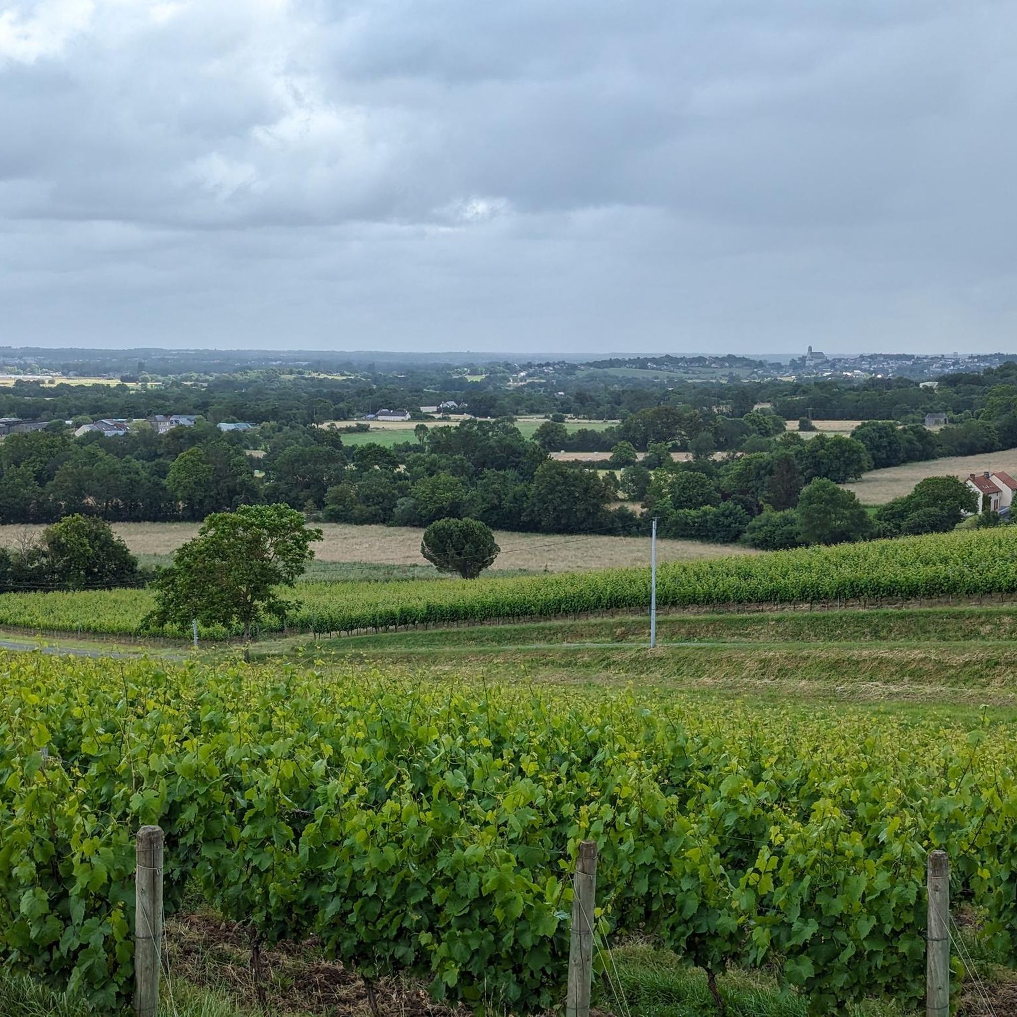
The Moulin de la Vierge in its meadow, overlooks the Auxence and offers a breathtaking view of the Villemoisan countryside
1
0
Dating from the 12th century, it includes a chapel, a main building with large windows surrounded by white tuffeau stone and a staircase tower, which gives it the appearance of a small castle.
1
0
The Champ-du-Ruisseau dolmen, also known as the Pontpiau covered alley, was only discovered in 1949 by Dr. J.-B. Glotin. The site was reused during the Gallo-Roman period. The building was listed as a historic monument in 1961. https://fr.wikipedia.org/wiki/Dolmen_du_Champ-du-Ruisseau
1
0
Building and chapel built in the 12th century by the Knights Templar. This particularly well-preserved chapel is unique in Anjou. https://angerslumiere.blogspot.com/2016/08/la-commanderie-de-villemoisan.html
0
0
The Saint-Charles Chapel, more often called the Cathelineau Chapel, is a small architectural gem that houses the tomb of the Vendée leader Jacques Cathelineau and his son. To explore the interior of the chapel and the tomb of General Cathelineau, the keys can be borrowed from the Saint-Florent-le-Vieil Tourist Office. OPEN ONLY FROM APRIL TO THE END OF SEPTEMBER. During your visit to the Petite Cité de Caractère® of Saint-Florent-le-Vieil, you can't miss the Saint-Charles Chapel, also called the Cathelineau Chapel. Listed as a Historic Monument, it is located on the site of the former Cordelières convent. In the context of the Vendée Wars, following the uprising of March 12, 1793, Jacques Cathelineau joined the Vendée Military Movement and participated in the battles where Vendée troops captured, among others, Jallais, Chemillé-en-Anjou, Cholet, Vihiers, Chalonnes-sur-Loire, and Thouars. His dedication was recognized by other Vendée leaders, who then recognized him as generalissimo of the Catholic and royal army. On June 29, 1793, during the attack on Nantes, Jacques Cathelineau was wounded at Place Viarme. He was then transferred and treated at the Sainte-Croix convent in Saint-Florent-le-Vieil (now the chapel). It was here that the Vendée general succumbed to his wounds on July 14, 1793. Erected between 1856 and 1858 by Count Théodore de Quatrebarbes, the chapel now houses the tomb of General Cathelineau and his son in one of its transepts. On his tomb, the general is represented by a cast plaster statue: standing, Cathelineau leans on a cross, which he wraps in his left arm and seems to be defending with a saber held in his other hand. The general's battles are commemorated on three sides of the base, as are the coat of arms and the motto "Dieu et le Roy." It is therefore natural that this chapel is more commonly known as the "Cathelineau Chapel" in homage to the Vendée general. https://www.anjou-tourisme.com/fr/diffusio/visites/chapelle-saint-charles-dite-cathelineau-mauge s-sur-loire_TFOPCUPDL049V5000WF?srsltid=AfmBOoqvIv1nzhZGxmoTCQNU_pqwA8_k8qhD_e2H4UPg1neiN7iQ4xQ-
0
0
The Julien Gracq House, the writer's former home, is located in Saint-Florent-le-Vieil on the banks of the Loire River. An association created by the Pays de la Loire Region and the town runs and manages the estate bequeathed by the author to the community to host writers and artists in residence. Visit the remarkable library, the map room, and Julien Gracq's estate. https://www.mauges-sur-loire.fr/se-divertir/culture-et-loisirs/lecture-litterature/maison-julien-gracq/
0
0
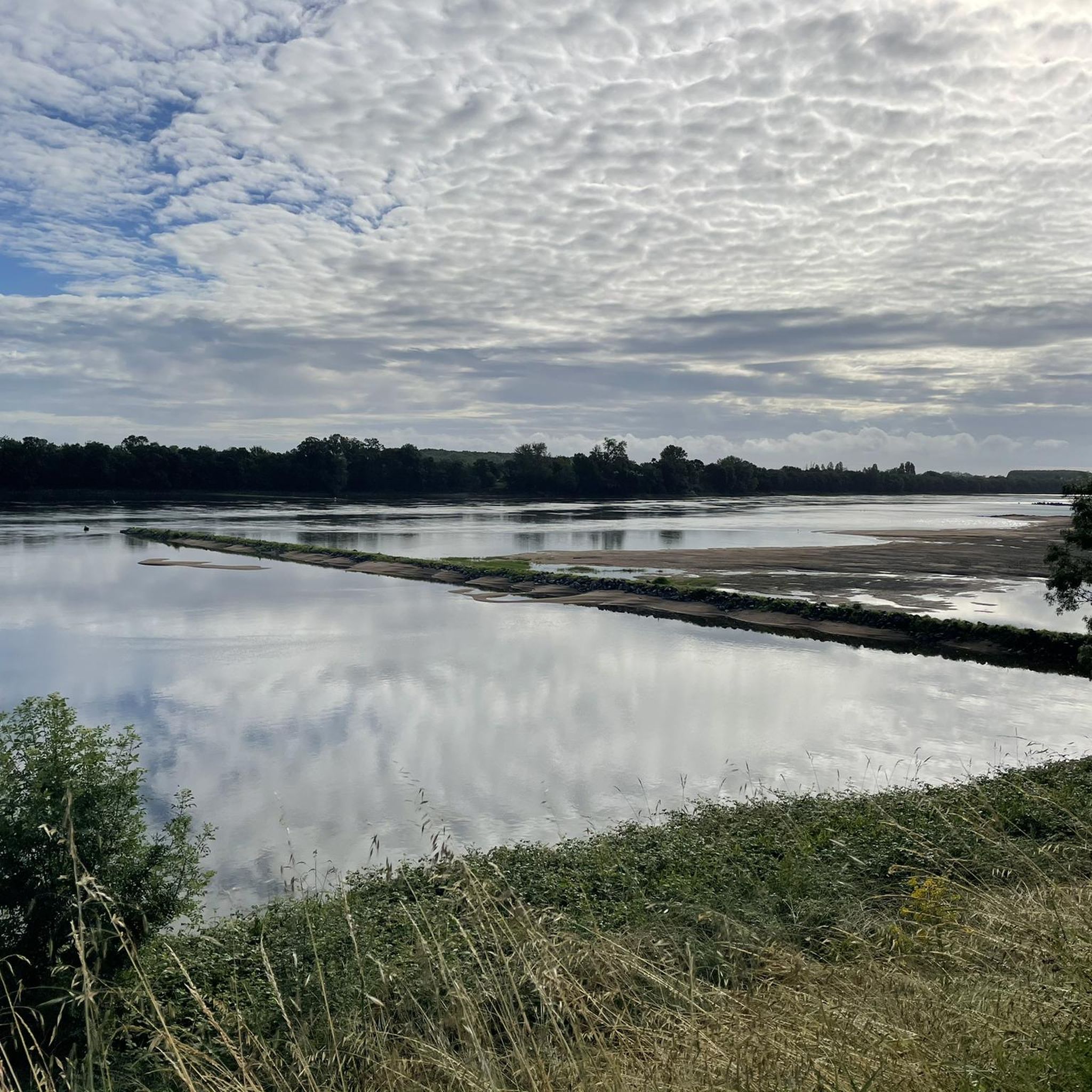
The walk along the Loire from Ingrandes to Montjean is only possible by crossing the river at Ingrandes, for this you must use the ferry made available to walkers.
0
0

Rest stop for drinks and best ever pancakes at Ma Roulette. Comfy sofas and shelters. Friendly hosts.
0
0
Frequently Asked Questions
How many hiking trails are available around Saint-Sigismond?
There are over 60 hiking trails around Saint-Sigismond. These routes offer a variety of experiences, from leisurely strolls along the Loire River to more challenging paths through the local countryside.
Are there easy hiking options suitable for beginners or casual walkers?
Yes, Saint-Sigismond offers nearly 30 easy hiking routes. These trails typically feature gentle elevation changes and follow riverbanks or agricultural paths, making them ideal for a relaxed outing. An example is the Suspension bridge over the Loire – Cale de Montrelais loop from Ingrandes-sur-Loire, which is a moderate 7.0 miles (11.3 km) path with minimal elevation.
What kind of terrain can I expect on hikes in Saint-Sigismond?
The terrain around Saint-Sigismond is characterized by its proximity to the Loire River, featuring relatively flat landscapes with gentle elevation changes. Trails often follow riverbanks, pass through agricultural lands, and connect small villages. The highest elevation gain on available routes is under 200 meters, indicating a landscape of river valleys rather than mountains.
Are there any circular hiking routes in the area?
Many of the trails around Saint-Sigismond are circular, allowing you to start and end at the same point. For instance, the Villemoisan Commandery – Le Prieuré de Villemoisan loop from Villemoisan is a moderate 8.8 km (5.5 miles) circular route that explores local historical sites.
What attractions or landmarks can I see while hiking near Saint-Sigismond?
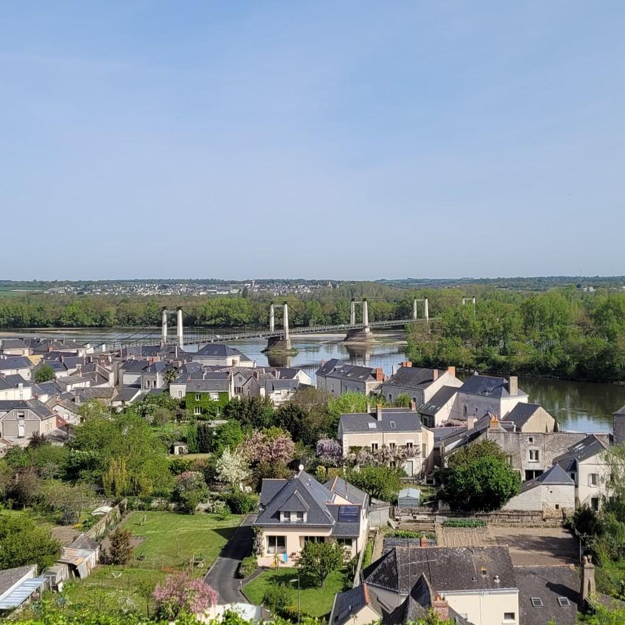
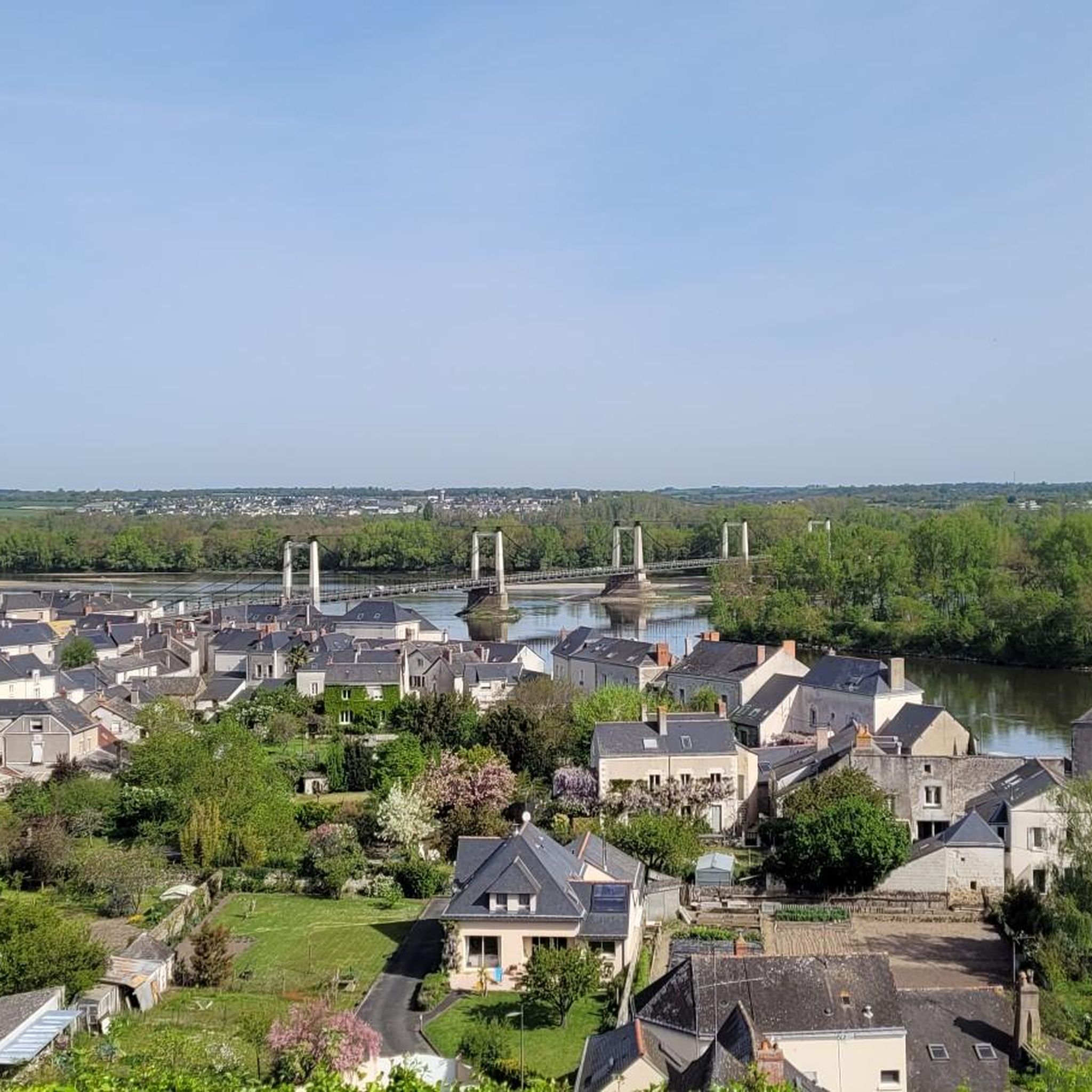
Hikers can discover several interesting landmarks. You might encounter the impressive Suspension bridge over the Loire, or explore historical sites like the Coal mine headframe and lime kiln. Other notable spots include the Abbey Church of Saint-Florent-le-Vieil and the Château de Champtocé s/Loire.
Are there more challenging or advanced hiking routes available?
Yes, for those seeking a greater challenge, there are 5 difficult routes around Saint-Sigismond. These trails, while still within the region's generally gentle topography, offer longer distances and slightly more varied terrain. An example is the Villemoisan Commandery – Dolmen du Champ-du-Ruisseau loop from Villemoisan, which covers nearly 19 km (12 miles).
Is Saint-Sigismond a good destination for family-friendly hikes?
Absolutely. The region's generally flat terrain and numerous easy to moderate routes make it suitable for families. Many trails follow the river or pass through quiet villages, offering pleasant and accessible walks for all ages.
What do other hikers enjoy most about the trails in Saint-Sigismond?
The trails in Saint-Sigismond are highly rated by the komoot community, with an average score of 4.3 stars from over 80 reviews. Hikers often praise the peaceful riverside paths, the charming village scenery, and the accessibility of the routes for various fitness levels.
Can I bring my dog on the hiking trails in Saint-Sigismond?
Many trails in the Saint-Sigismond area are suitable for dogs, especially those that follow riverbanks or agricultural paths. It's always recommended to keep your dog on a leash, especially when passing through villages or near livestock, and to check specific route details for any restrictions.
What is the best time of year to go hiking in Saint-Sigismond?
Spring and autumn are generally ideal for hiking in Saint-Sigismond, offering pleasant temperatures and beautiful scenery. Spring brings blooming wildflowers, while autumn showcases vibrant foliage along the Loire. Summer can also be enjoyable, particularly for riverside walks, but it's advisable to start early to avoid the midday heat.
Are there options for public transport to reach trailheads?
While specific public transport options to individual trailheads may vary, the region has local bus services that connect some of the villages. It's recommended to check local transport schedules in advance, especially if you plan to rely solely on public transport to access more remote starting points.
Is parking available near the hiking trails?
Parking is generally available in the villages and towns that serve as starting points for many of the trails, such as Ingrandes-sur-Loire or Villemoisan. Look for designated parking areas or public car parks, especially near popular trail access points.
Most popular routes around Saint-Sigismond
Most popular attractions around Saint-Sigismond

Get inspired with the komoot mobile app


Explore more
Browse the best Hikes in other regions.
