Saint-André-De-La-Roche
Saint-André-De-La-Roche
The best MTB trails around Saint-André-De-La-Roche
4.2
(436)
3,414
riders
159
rides
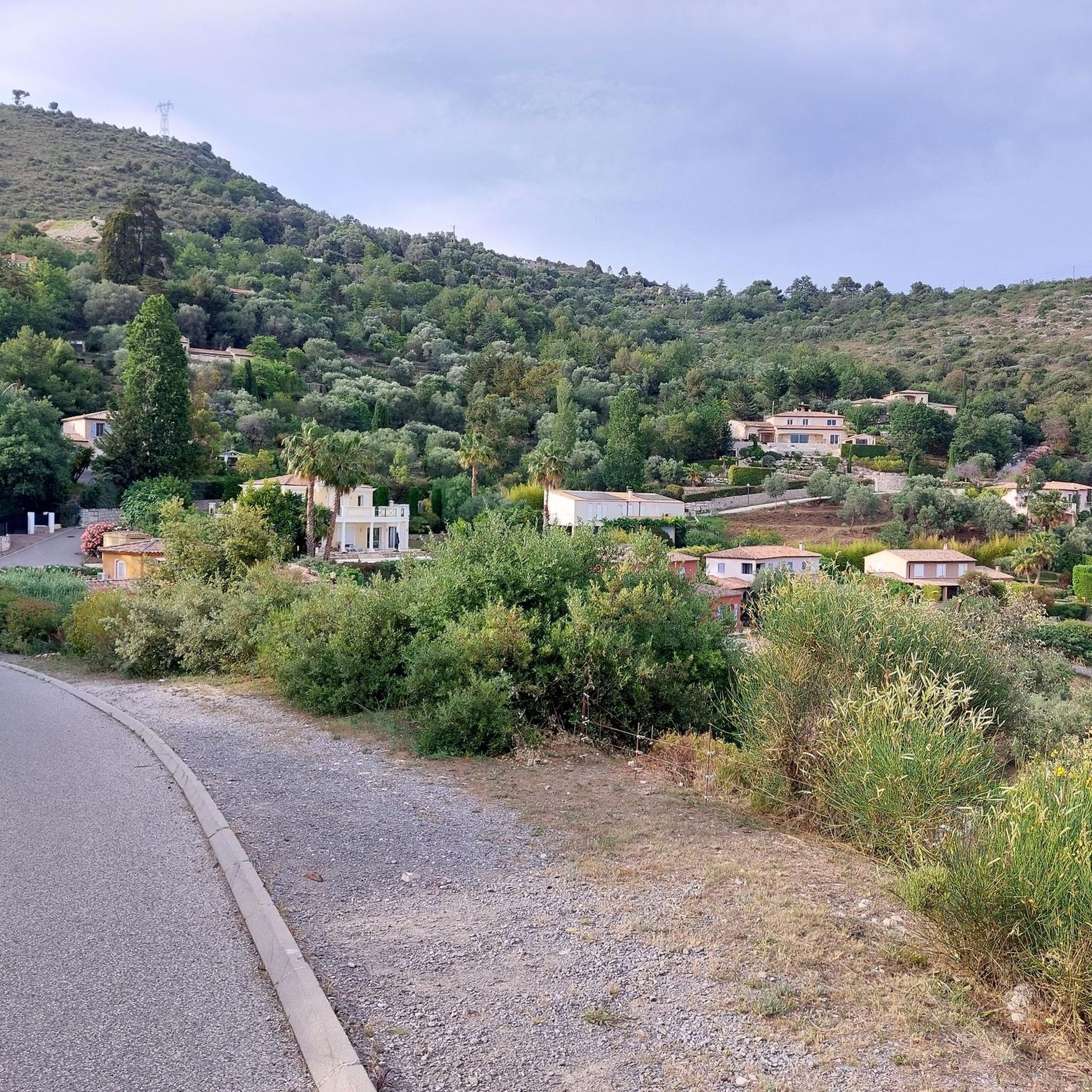
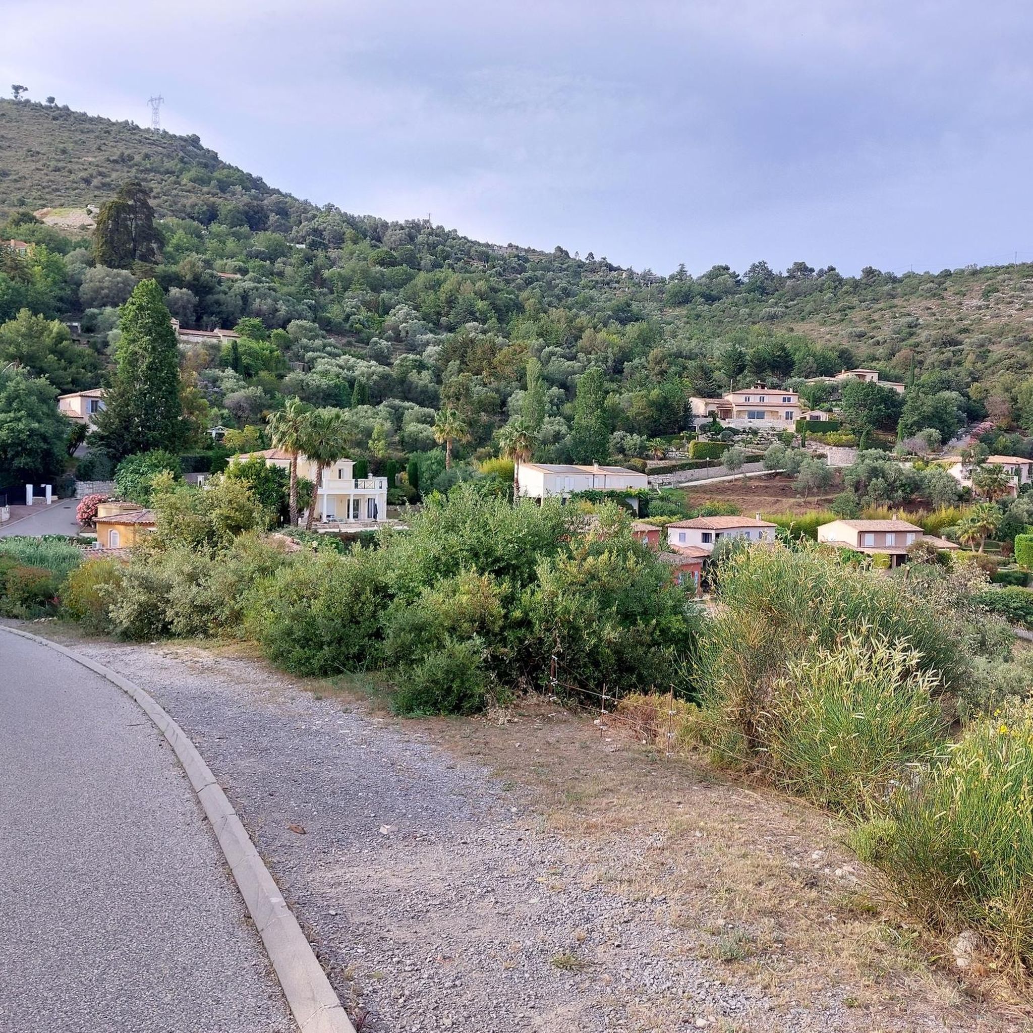
Mountain bike trails around Saint-André-De-La-Roche are set within a varied landscape of hills and wooded spaces, bordering Nice in the Alpes-Maritimes. The commune features terrain ranging from 43 to 383 meters in altitude, with the Banquière River adding to its natural features. This region offers numerous routes with significant elevation gains, providing challenging experiences for mountain bikers.
Best mountain bike trails around Saint-André-De-La-Roche
- The most popular mountain bike trail is Tour du Mont Chauve, a 12.6 miles (20.2 km)…
Last updated: August 23, 2026
2.0
(2)
10
riders
20.2km
02:21
770m
770m
Hard mountain bike ride. Good fitness required. Advanced riding skills necessary. Some portions of the route may require you to push your bike.
4.7
(7)
78
riders
33.5km
03:46
1,170m
1,170m
Hard mountain bike ride. Very good fitness required. Advanced riding skills necessary. Some portions of the route may require you to push your bike.

Sign up for free
4.8
(4)
22
riders
31.7km
03:35
1,130m
1,130m
Hard mountain bike ride. Very good fitness required. Advanced riding skills necessary. Some portions of the route may require you to push your bike.
4.0
(2)
23
riders
29.4km
02:41
690m
690m
Moderate mountain bike ride. Good fitness required. Advanced riding skills necessary.
5.0
(1)
19
riders
26.6km
02:46
970m
970m
Hard mountain bike ride. Very good fitness required. Suitable for all skill levels.
Get access to more routes and recommendations from other explorers.
Sign up for free
Already have an account?
Our route recommendations are based on thousands of hikes, rides, and runs completed by other people on komoot.
Start today with a free account
Your next adventure awaits.
Login or Signup
Tips from the Community


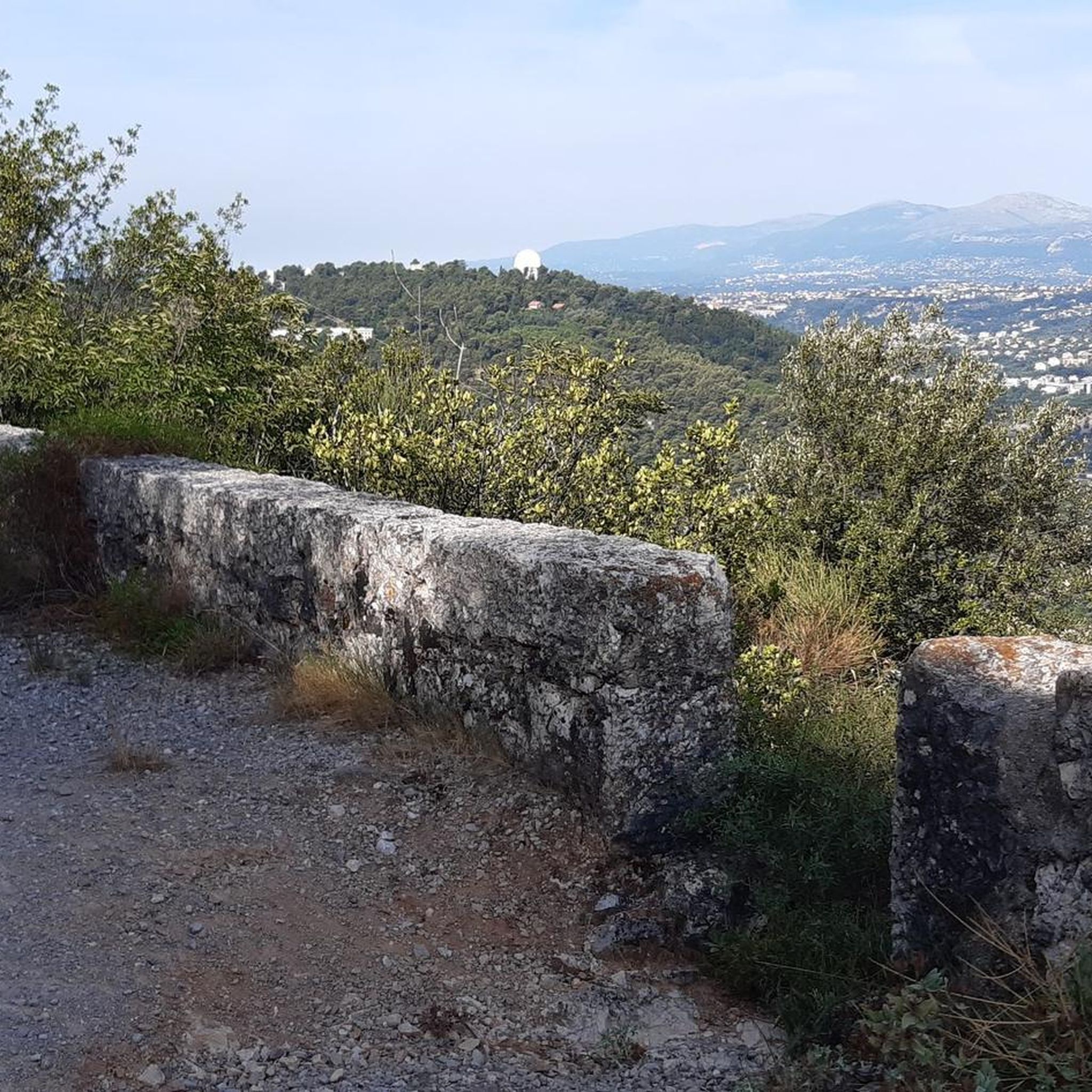
The Col d'Eze is located on the D2564, above the town of Eze-Bord de Mer on the Mediterranean coast. The southwest ramp, in particular, offers magnificent views of the coastline and is definitely preferable to the busier D6007 coastal road.
0
0

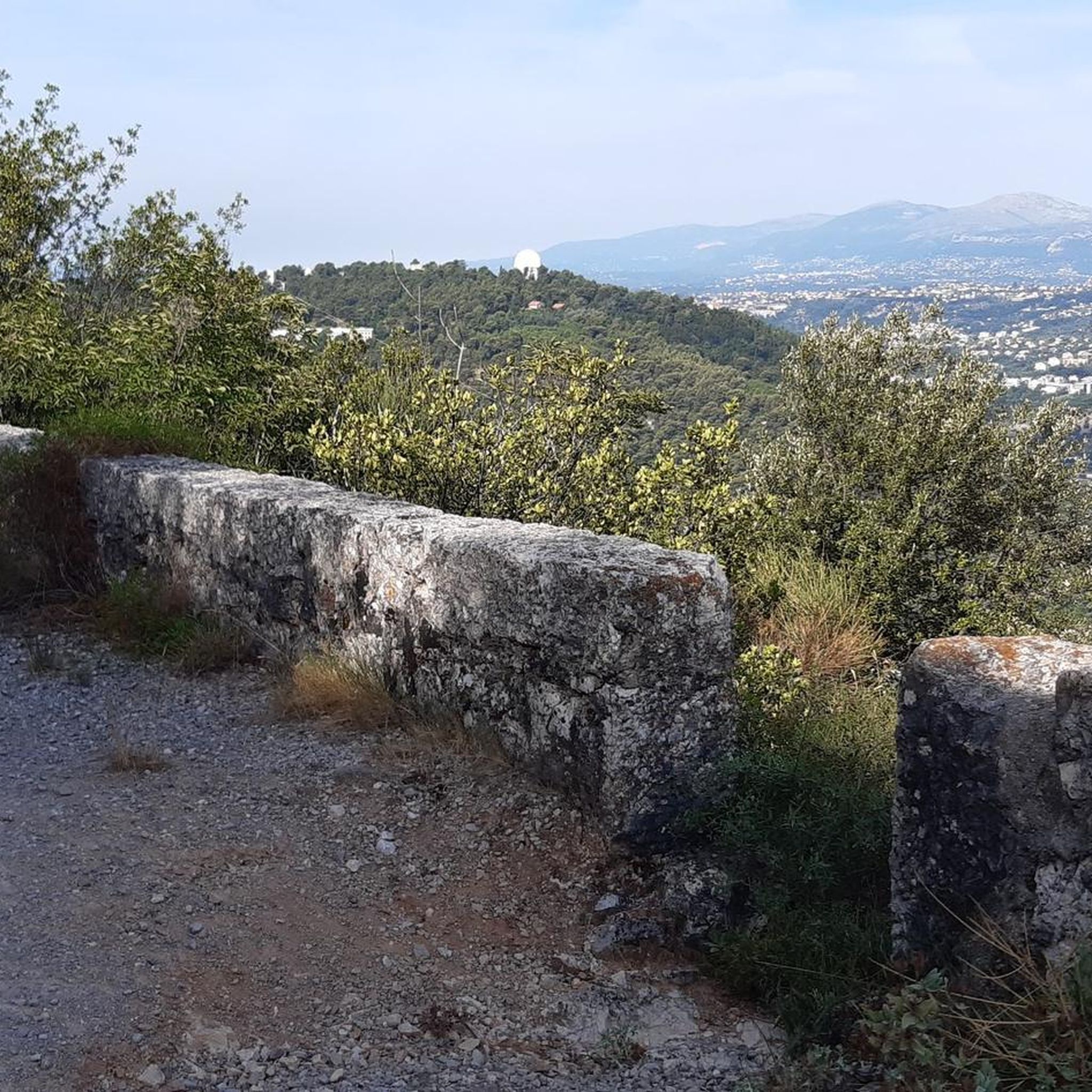
Beautiful view of the bay of Nice
0
0


Borrowed many times by the Tour de France and Paris-Nice, the Col d'Èze is a major venue in French cycling. To overcome it, you have to climb for eight kilometers at an average gradient of 6.1%.
0
0
Frequently Asked Questions
What kind of terrain can I expect on mountain bike trails around Saint-André-De-La-Roche?
The trails around Saint-André-De-La-Roche are characterized by varied terrain, including hills and wooded spaces, with altitudes ranging from 43 to 383 meters. Many routes feature significant elevation gains and unpaved segments, offering challenging and rewarding experiences for mountain bikers.
Are there mountain bike trails suitable for beginners or those looking for an easier ride?
Yes, while the region is known for its challenging routes, there are options for all skill levels. Out of 157 mountain bike trails, 11 are classified as easy, and 71 are moderate, providing a good range for beginners or those seeking a less strenuous ride.
What are some challenging mountain bike routes in the area?
For experienced riders seeking a challenge, the area offers 75 difficult trails. A notable option is the Tour du Mont Chauve, a 20.2 km route with substantial climbs. Another demanding ride is the Mount Macaron – Châteauneuf Pass loop from Falicon, which covers 32.3 km with significant ascents.
Are there any mountain bike routes that offer panoramic views of Nice or the Côte d'Azur?
Absolutely. Many trails in the region provide stunning vistas. The View of Nice – Rob's ball loop from La Trinité-Victor is a difficult 30.6 km path featuring over 1,100 meters of elevation gain, specifically designed to offer panoramic views of Nice. Additionally, the hills of Rimiez and Abadie provide scenic overlooks stretching over the Côte d'Azur and even to Cap d'Antibes.
What historical sites or landmarks can I see while mountain biking around Saint-André-De-La-Roche?
The region is rich in history and natural beauty. You can explore various mountain passes like Col d’Èze or historical sites such as the Fort du Mont Chauve d'Aspremont. The commune itself boasts the Château de Saint-André, local mills, and the chapel of Saint-André and Saint-Grat, offering glimpses into the area's past.
Are there any circular mountain bike routes available?
Yes, many of the mountain bike trails around Saint-André-De-La-Roche are designed as loops. For example, the Valley view – View of Nice loop from Falicon is a moderate 10.4 km route that offers a scenic circular ride.
What is the best time of year for mountain biking in Saint-André-De-La-Roche?
Given its Mediterranean climate, Saint-André-De-La-Roche is generally pleasant for mountain biking for much of the year. Spring and autumn offer mild temperatures and beautiful scenery, making them ideal. Summers can be hot, so early morning or late afternoon rides are recommended, while winters are generally mild, allowing for year-round activity, though some higher elevation trails might be affected by weather.
What do other mountain bikers say about the trails in Saint-André-De-La-Roche?
The mountain bike trails around Saint-André-De-La-Roche are highly regarded by the komoot community, with an average rating of 4.3 stars from over 400 reviews. Over 3,500 mountain bikers have explored the varied terrain, often praising the challenging ascents, panoramic views, and the preserved natural setting of the wooded hills.
Are there options for mountain biking near Saint-André-De-La-Roche that are suitable for families?
While many routes are challenging, the 11 easy and 71 moderate trails provide options that could be suitable for families with some biking experience. It's advisable to check the specific route details for distance, elevation, and terrain to ensure it matches your family's ability level.
Can I bring my dog on the mountain bike trails?
Many natural areas in France are dog-friendly, especially on trails. However, it's always recommended to keep dogs on a leash, especially in protected areas or where wildlife is present. Check local signage or specific trail regulations for any restrictions before heading out with your dog.
What is the typical duration for a mountain bike ride in this region?
Ride durations vary significantly based on the trail's difficulty and length. For example, a difficult route like the Tour du Mont Chauve (20.2 km) typically takes around 2 hours 21 minutes, while a longer, difficult route such as the View of Nice – Rob's ball loop from La Trinité-Victor (30.6 km) can take over 3 hours 30 minutes. Moderate routes like Col d’Èze – Magnificent view loop from L'Ariane - La Trinité (22.2 km) average around 2 hours 17 minutes.
Most popular routes around Saint-André-De-La-Roche
Most popular attractions around Saint-André-De-La-Roche

Get inspired with the komoot mobile app


Explore more
Browse the best MTB trails in other regions.
