The best walks and hikes around Aincille
4.3
(682)
4,289
hikers
129
hikes
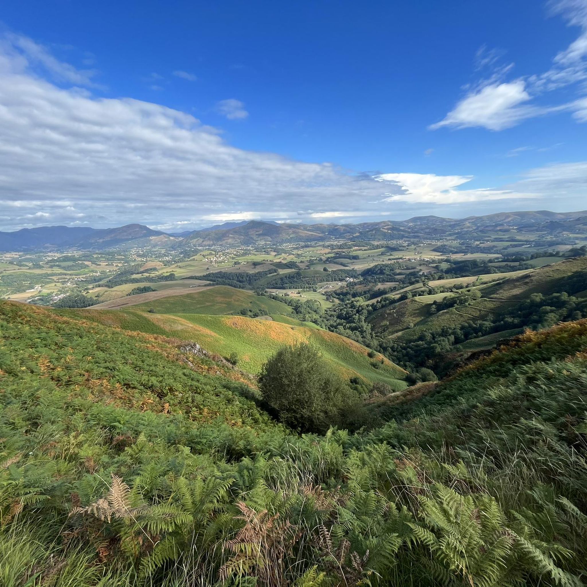
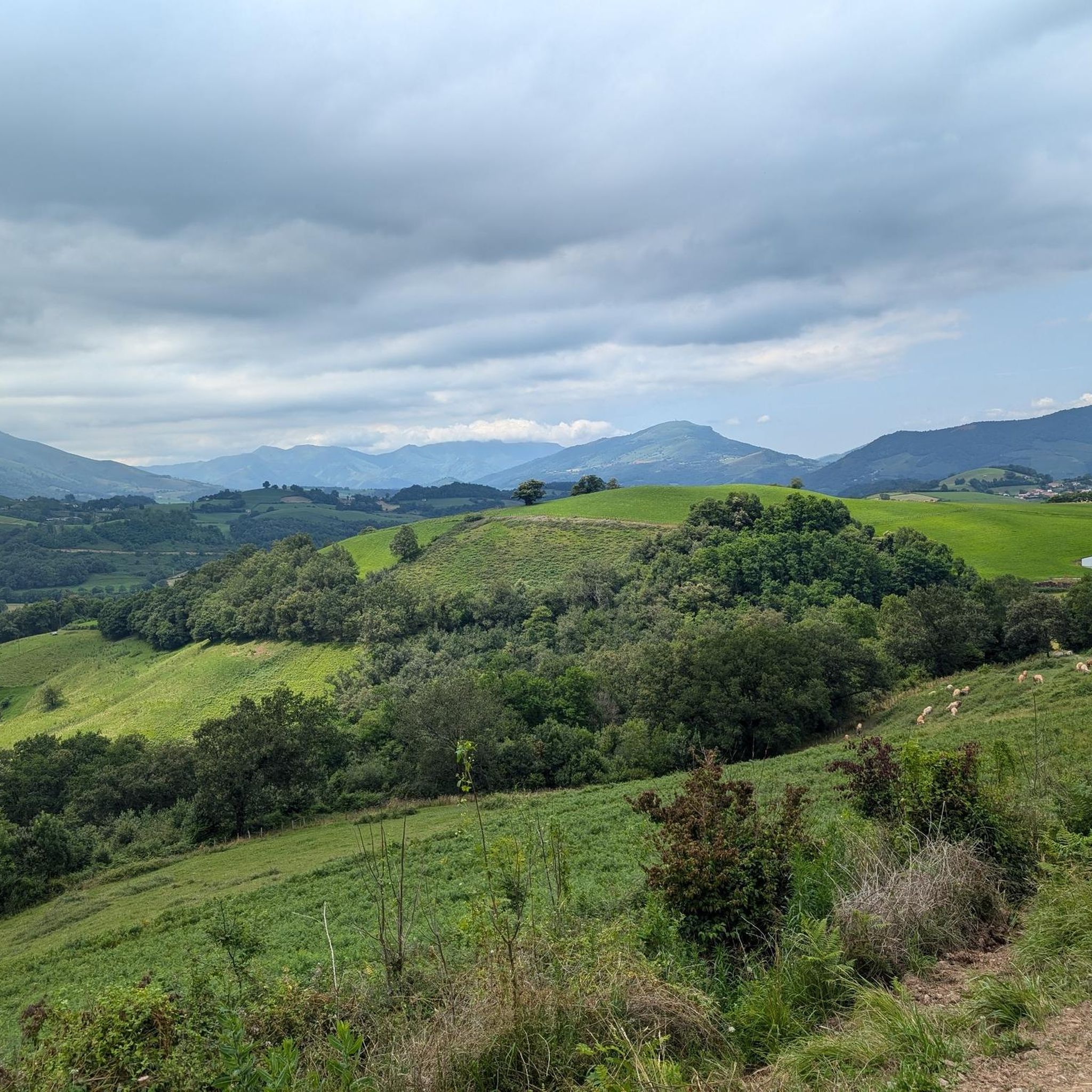
Hiking around Aincille offers a network of trails traversing varied terrain. The region features rolling hills and valleys, with routes often providing scenic viewpoints. Elevation gains on trails can range from moderate to significant, indicating a landscape with notable changes in altitude. Many paths are loops, starting and ending in villages such as Saint-Michel and Estérençuby.
Best hiking trails around Aincille
- The most popular hiking route is Porte Saint-Jacques – Pilgrims' office loop from Saint-Michel, a 6.2 miles (10.0…
Last updated: July 4, 2026
4.6
(27)
76
hikers
10.3km
02:58
260m
260m
Moderate hike. Good fitness required. Easily-accessible paths. Suitable for all skill levels.
4.1
(8)
100
hikers
26.4km
08:25
1,080m
1,080m
Hard hike. Very good fitness required. Easily-accessible paths. Suitable for all skill levels.

Sign up for free
4.6
(5)
22
hikers
6.34km
02:07
310m
310m
Moderate hike. Good fitness required. Easily-accessible paths. Suitable for all skill levels.
4.5
(2)
12
hikers
9.99km
03:23
510m
510m
Moderate hike. Good fitness required. Easily-accessible paths. Suitable for all skill levels.
4.4
(21)
266
hikers
21.6km
06:48
740m
740m
Hard hike. Very good fitness required. Mostly accessible paths. Sure-footedness required.
Get access to more routes and recommendations from other explorers.
Sign up for free
Already have an account?
Our route recommendations are based on thousands of hikes, rides, and runs completed by other people on komoot.
Start today with a free account
Your next adventure awaits.
Login or Signup
Tips from the Community

If you are walking past Refuge Orisson and it's cloudy don't worry. In another 5km you will walk through the cloud into glorious sunshine
0
0

The Pyrenees, when the weather is nice you have a great view.
0
0


Starting point for several climbs that allow you to cross the border and reach Spain. It is a very quiet town where you can take a break and get water. I remember that on hot summer days... the heat is oppressive because there is a lot of humidity. It is a typical town in the area where you will also find some bars where you can have a drink.
0
0

How do you find the route for the camino de santiago? Is that on here??
2
0

A steep climb to start the first leg of the Route Napoléon from St Jean Pied-de-Port, but the superb views over the valley are a good reward. The Route Napoléon (Saint-Jean-Pied-de-Port to Roncesvalles) is closed between November and March.
1
1

Magical place, one of my favorite French villages
2
0

Super beautiful! It is quite a climb (19 km) but worth it.
1
1
Frequently Asked Questions
How many hiking trails are available around Aincille?
Aincille offers a diverse network of over 100 hiking trails. These routes traverse varied terrain, including rolling hills and valleys, providing options for different skill levels.
Are there easy hiking trails suitable for beginners in Aincille?
Yes, Aincille has a good selection of trails suitable for beginners. There are over 30 easy routes available, perfect for those new to hiking or looking for a relaxed walk. These trails often feature gentle elevation changes and well-maintained paths.
Can I find challenging day hikes in the Aincille area?
Absolutely. For experienced hikers seeking a challenge, Aincille provides over 20 difficult routes. These trails often feature significant elevation gains and longer distances. An example is the Pilgrims' office – View from Ernagako Borda loop from Saint-Michel, which is over 21 km long and considered difficult.
Are there circular walks available around Aincille?
Many of the paths around Aincille are designed as circular loops, allowing you to start and end your hike in the same location, often in charming villages like Saint-Michel and Estérençuby. For instance, the Rest area with benches loop from Saint-Michel is a popular circular option.
What kind of viewpoints can I expect on hikes in Aincille?
Hiking trails in Aincille frequently lead to scenic viewpoints, offering expansive vistas over the rolling hills and valleys of the region. The View from Ernagako Borda – Estérençuby loop from Estérençuby is specifically known for its excellent scenic views from Ernagako Borda.
Are dogs allowed on the hiking trails in Aincille?
Generally, dogs are welcome on most hiking trails in Aincille, but it's always recommended to keep them on a leash, especially in areas with livestock or protected wildlife. Please ensure you follow local regulations and clean up after your pet.
Are there any family-friendly hiking routes in Aincille?
Yes, Aincille offers several routes suitable for families. Look for trails marked as 'easy' or 'moderate' with shorter distances and less significant elevation changes. These paths often provide a pleasant experience for all ages, allowing families to enjoy the natural beauty together.
What are some interesting landmarks or attractions to see near the hiking trails?
The Aincille region is rich in natural and historical points of interest. You can explore various mountain passes like Col d'Arnosteguy or the Aharza Pass. There are also unique natural monuments such as the Roland Fountain and the Munhoa Summit, offering diverse sights along your hikes.
Is public transport available to access hiking trailheads in Aincille?
While specific public transport options directly to every trailhead might be limited, some routes start and end in villages like Saint-Michel and Estérençuby, which may have local bus services. It's advisable to check local transport schedules for these villages if you plan to rely on public transport.
What do other hikers say about the trails in Aincille?
The hiking experience in Aincille is highly regarded by the komoot community, with an average rating of 4.4 stars from over 600 reviews. Hikers often praise the varied landscapes, scenic viewpoints, and the well-maintained nature of the paths, making it a popular destination for outdoor enthusiasts.
Are there any hidden gem hikes or less-known trails in Aincille?
Beyond the most popular routes, Aincille's extensive network of over 100 trails means there are many less-trafficked paths waiting to be discovered. Exploring some of the moderate or difficult routes that are not highlighted in the main guide can often lead to quieter, equally rewarding experiences and unique perspectives of the region.
What is the best time of year to go hiking in Aincille?
The best time to hike in Aincille generally spans from spring through autumn, when the weather is mild and the landscapes are vibrant. Summer offers longer daylight hours, while spring and autumn provide comfortable temperatures and beautiful seasonal colors. Winter hiking is possible, but some higher elevation trails may be affected by snow or ice, requiring appropriate gear.
Most popular attractions around Aincille

Get inspired with the komoot mobile app


Explore more
Browse the best Hikes in other regions.
