The best walks and hikes around Thiré
4.3
(12)
71
hikers
11
hikes
Hiking around Thiré provides access to the diverse landscapes of the Regional Natural Park of the Marais Poitevin. The region is characterized by an extensive network of canals and waterways, alongside varied marshland environments. Hikers can expect a mosaic of landscapes, including wet and dry marshland, plains, and verdant areas. The terrain generally features gentle elevation changes, with routes often following tree-lined canals or crossing open prairies.
Best hiking trails around Thiré
- The most popular hiking route is View of…
Last updated: July 5, 2026
4.3
(7)
25
hikers
9.09km
02:30
140m
140m
Moderate hike. Good fitness required. Easily-accessible paths. Suitable for all skill levels.
5.0
(2)
19
hikers
Easy hike. Great for any fitness level. Easily-accessible paths. Suitable for all skill levels.

Sign up for free
5.0
(2)
13
hikers
12.6km
03:25
180m
180m
Moderate hike. Good fitness required. Easily-accessible paths. Suitable for all skill levels.
5
hikers
28.6km
07:29
230m
220m
Hard hike. Very good fitness required. Easily-accessible paths. Suitable for all skill levels.
3
hikers
4.61km
01:19
100m
100m
Easy hike. Great for any fitness level. Easily-accessible paths. Suitable for all skill levels.
Get access to more routes and recommendations from other explorers.
Sign up for free
Already have an account?
Our route recommendations are based on thousands of hikes, rides, and runs completed by other people on komoot.
Start today with a free account
Your next adventure awaits.
Login or Signup

Tips from the Community

place called "the waterfall", but there is no waterfall!
0
0

Wonderful place to stay!
2
2
Frequently Asked Questions
What is the typical terrain like for hiking around Thiré?
Hiking around Thiré primarily involves exploring the diverse landscapes of the Regional Natural Park of the Marais Poitevin. You can expect a mosaic of environments, including wet and dry marshland, open plains, and verdant areas. Many trails follow the extensive network of canals and waterways, often referred to as 'Green Venice', providing tranquil, shaded paths. The terrain generally features gentle elevation changes, making for accessible walks.
Are there hiking trails for all skill levels near Thiré?
Yes, the area around Thiré, particularly within the Marais Poitevin Regional Natural Park, offers a wide range of trails suitable for various abilities. There are over 190 marked trails, including easy strolls perfect for families and beginners, as well as longer, more challenging routes for experienced walkers. For example, The Pond – Animals loop from Saint-Martin-Lars-en-Sainte-Hermine is an easy option, while Étang du Bois Gats loop from La Réorthe offers a more difficult experience.
How many hiking trails are available around Thiré?
Komoot lists 11 hiking routes directly around Thiré. However, given its proximity to the Regional Natural Park of the Marais Poitevin, you have access to a much wider network of over 190 marked trails within the park, offering extensive options for exploration.
What natural features can I expect to see on hikes near Thiré?
The primary natural feature you'll encounter is the extensive network of canals and waterways of the Marais Poitevin, often called 'Green Venice'. These tranquil waterways are lined with lush greenery and are home to abundant flora and fauna. You'll also experience diverse marshland environments, from wet marsh to dry plains, offering varied scenery and opportunities for wildlife observation.
Are there any specific landmarks or points of interest along the trails?
While hiking around Thiré, you might pass through charming villages that showcase local heritage. Within the broader Marais Poitevin Regional Natural Park, trails can lead you past historical sites such as the Donjon of the Château de Niort or through towns like Nieul-sur-l'Autise, known for its remarkable heritage. These offer cultural insights alongside natural beauty.
Are there family-friendly hiking options around Thiré?
Absolutely. The Marais Poitevin Regional Natural Park, easily accessible from Thiré, features many trails suitable for families. These often include easy, flat paths along canals and even specially designed child-friendly trails, such as the 'Sentier des Enfants à Saint-Hilaire-la-Palud', which incorporate interactive educational elements to engage younger hikers.
Are dogs allowed on hiking trails near Thiré?
Generally, dogs are welcome on many hiking trails in the region, especially if kept on a leash. The tranquil nature of the Marais Poitevin makes it a pleasant environment for walks with your canine companion. However, it's always advisable to check specific trail regulations or local signage, particularly in nature reserves, to ensure compliance.
What is the best time of year to hike around Thiré?
The spring and autumn months are generally considered the best times for hiking around Thiré. During these seasons, the weather is typically mild and pleasant, and the natural landscapes of the Marais Poitevin are particularly vibrant with blooming flora or rich autumnal colors. Summer can also be enjoyable, but it's best to start early to avoid the midday heat.
Are there circular hiking routes available near Thiré?
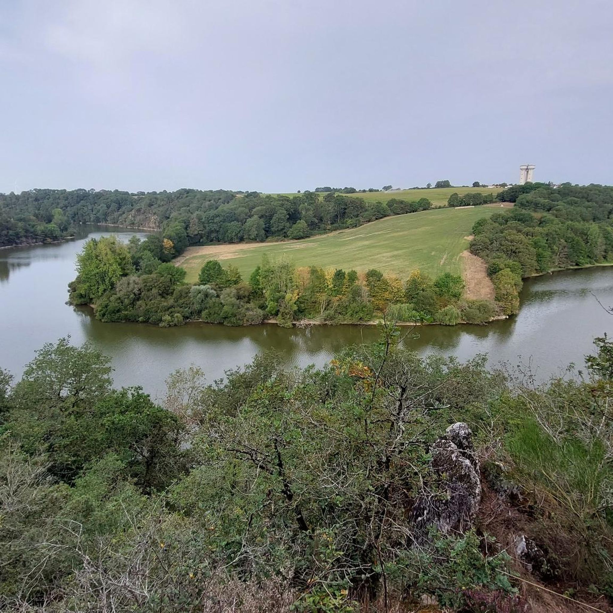
Yes, many of the trails in the region, including those within the Marais Poitevin Regional Natural Park, are designed as loops. This allows hikers to start and end at the same point without retracing their steps. For example, View of the River Yon loop from Libaud and Hiking loop from Saint-Vincent-Puymaufrais are popular circular options.
What do other hikers enjoy the most about hiking in Thiré?
The area is highly rated by the komoot community, with an average score of 4.3 stars. Reviewers often praise the tranquil waterways and diverse marshland environments, highlighting the unique 'Green Venice' experience. The well-maintained paths and the opportunity to observe local wildlife are also frequently mentioned as enjoyable aspects of hiking in the Thiré region.
Is parking available at trailheads around Thiré?
While specific parking information for every trailhead isn't always detailed, it is generally common to find designated parking areas in or near villages that serve as starting points for hikes within the Marais Poitevin Regional Natural Park. For popular routes or attractions, small car parks are usually provided to accommodate visitors.
How long do hikes around Thiré typically take?
The duration of hikes around Thiré varies significantly depending on the trail's length and your pace. Easy routes like The Pond – Animals loop from Saint-Martin-Lars-en-Sainte-Hermine (4.9 km) can be completed in under 2 hours. Moderate trails such as View of the River Yon loop from Libaud (9.1 km) might take around 2.5 to 3 hours, while longer, more difficult routes can extend to 5 hours or more.

Get inspired with the komoot mobile app


Explore more
Browse the best Hikes in other regions.
