The best walks and hikes around Cantenay-Épinard
4.4
(635)
5,207
hikers
282
hikes
Hiking around Cantenay-Épinard offers access to diverse natural landscapes at the gateway to the Basses Vallées Angevines. The region is characterized by floodable meadows, bocage landscapes, and forested areas, bordered by the Mayenne and Sarthe rivers. These features provide varied terrain for outdoor activities, with minimal elevation changes. Cantenay-Épinard is situated less than 10 km from Angers, allowing for both tranquil village experiences and proximity to urban amenities.
Best hiking trails around Cantenay-Épinard
- The most popular hiking route is The…
Last updated: July 9, 2026
4.8
(8)
44
hikers
9.66km
02:27
20m
20m
Moderate hike. Good fitness required. Easily-accessible paths. Suitable for all skill levels.
4.6
(8)
36
hikers
13.7km
03:34
100m
100m
Moderate hike. Good fitness required. Easily-accessible paths. Suitable for all skill levels.

Sign up for free
3.3
(3)
19
hikers
21.5km
05:34
130m
130m
Hard hike. Very good fitness required. Easily-accessible paths. Suitable for all skill levels.
3.0
(1)
18
hikers
10.2km
02:38
60m
70m
Moderate hike. Good fitness required. Easily-accessible paths. Suitable for all skill levels.
5.0
(2)
9
hikers
14.7km
03:43
30m
30m
Moderate hike. Good fitness required. Easily-accessible paths. Suitable for all skill levels.
Get access to more routes and recommendations from other explorers.
Sign up for free
Already have an account?
Our route recommendations are based on thousands of hikes, rides, and runs completed by other people on komoot.
Start today with a free account
Your next adventure awaits.
Login or Signup

Tips from the Community

Practical, easy, inexpensive!
0
0
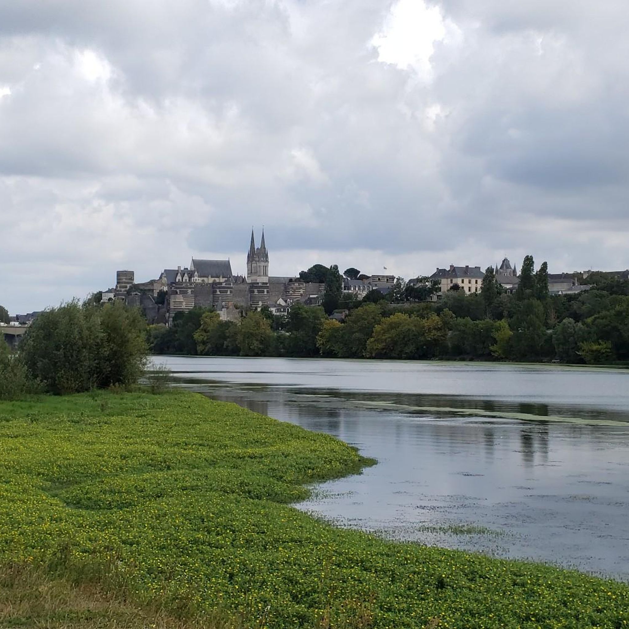
This path is magnificent.
0
0


The Étang des Sablières in Écouflant is located in a park which offers a variety of paths which wind through a forest of willows, wild fruit trees, heather and oaks, and around several ponds surrounded by gorse. The Sablières pond is an ideal place to enjoy nature and have fun with family or friends.
3
0
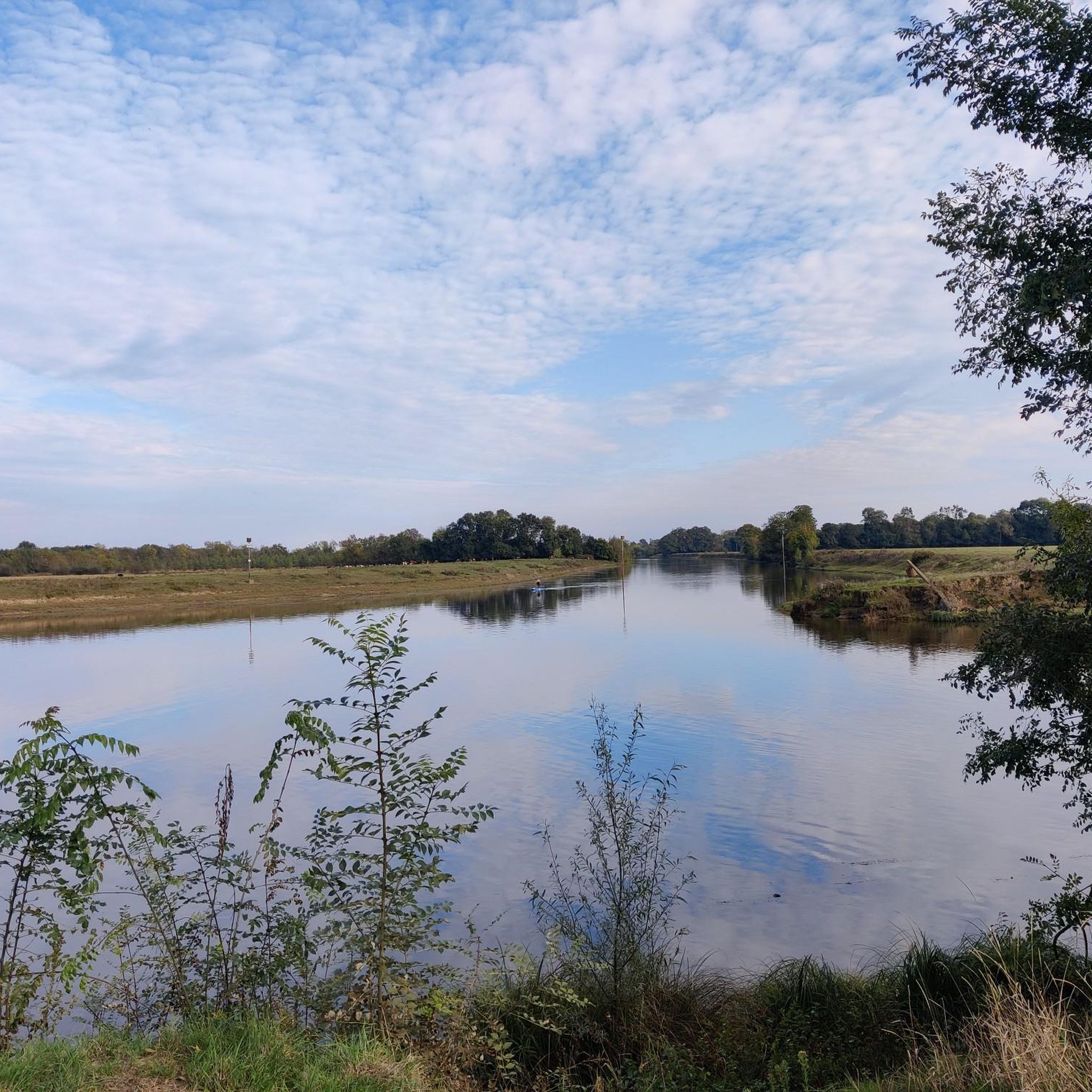
This trail alternates meadows and riverside paths, offering you an overview of the rich flora and fauna of the Basses Vallées Angevines. You can admire the remains of the old towpaths and bridges which bear witness to the history of river transport. It's a great way to experience the natural beauty and heritage of this region.
2
0

Saint-Aubin Island is an island formed by Old Maine, Sarthe and Mayenne, located north of Angers, in the Lower Angevin Valleys, of which the island represents 1/10th of the surface area. Covering an area of 600 hectares, it is essentially made up of natural meadows used for hay and regrowth grazing (regrowth after mowing). The territory of Saint-Aubin Island is entirely located in the commune of Angers. There is no bridge to access it; access is via a tray. The island has a very rich biodiversity for a site on the urban edge. It is a Natural Area of ecological, fauna and flora interest. Saint-Aubin Island is an urban natural area included in the Natura 2000 perimeter. It is part of the Special Protection Zone of the Lower Angevin Valleys. Source Wikipedia: https://fr.m.wikipedia.org/wiki/%C3%8Ele_Saint-Aubin
0
0

real end of the V47, 9 km from the "bec du Loir" where the Loir flows into the Sarthe (at Briollay) before quickly joining the Maine then the Loire south of Angers
1
0

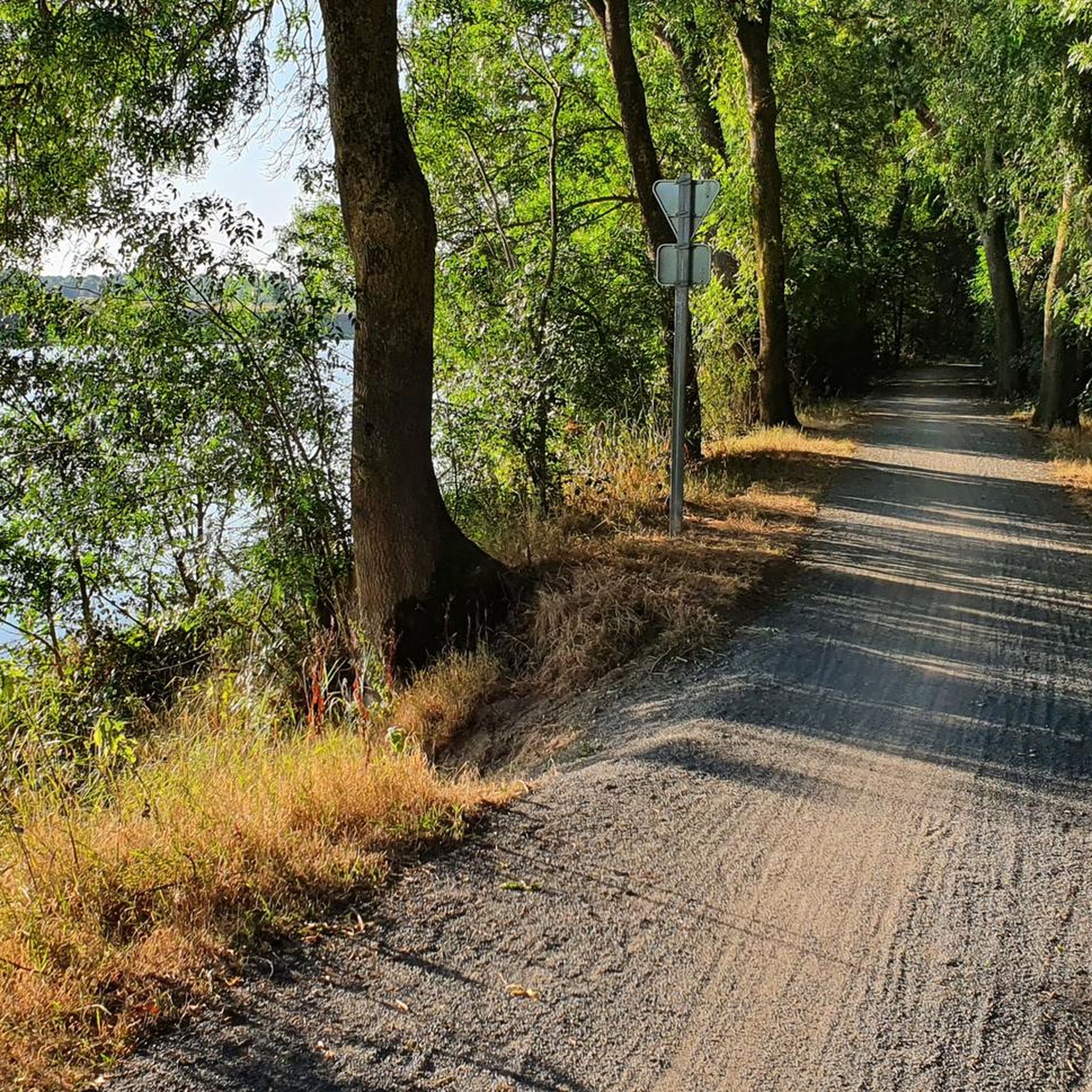
Landscaped rolling path, very pleasant
0
0
Frequently Asked Questions
How many hiking trails are available around Cantenay-Épinard?
There are over 270 hiking routes around Cantenay-Épinard, catering to various preferences. These include more than 130 easy routes, 135 moderate trails, and 11 more challenging options, ensuring there's something for every hiker.
Are there any easy, family-friendly walks in Cantenay-Épinard?
Yes, Cantenay-Épinard offers many easy routes suitable for families. The area's flat terrain, especially along the Mayenne and Sarthe rivers, makes for pleasant, accessible walks. Many trails pass through open meadows and bocage landscapes, providing a gentle outdoor experience.
What kind of natural landscapes can I expect to see while hiking here?
Hiking around Cantenay-Épinard offers diverse natural landscapes. You'll encounter the vast floodable meadows of the Basses Vallées Angevines, which are significant for migratory birds and wetland flora. Trails also follow the Mayenne and Sarthe rivers, pass through bocage landscapes with hedgerows and old oaks, and lead into forested areas like the Bois du Four. Ponds and streams add to the biodiversity.
Are there any circular hiking routes in the area?
Yes, many of the trails around Cantenay-Épinard are circular, allowing you to start and end at the same point. An example is The towpath of the Sarthe and Sablières — loop from Écouflant, which offers a moderate 9.7 km (6.0 miles) walk along riverside paths and through meadows.
Can I bring my dog on the hiking trails in Cantenay-Épinard?
Many trails in Cantenay-Épinard are dog-friendly, especially those through the open meadows and along the riverbanks. It's always recommended to keep your dog on a leash, particularly in areas with wildlife or near grazing animals in the Basses Vallées Angevines. Please ensure you clean up after your pet.
What are some interesting landmarks or attractions to see near the trails?
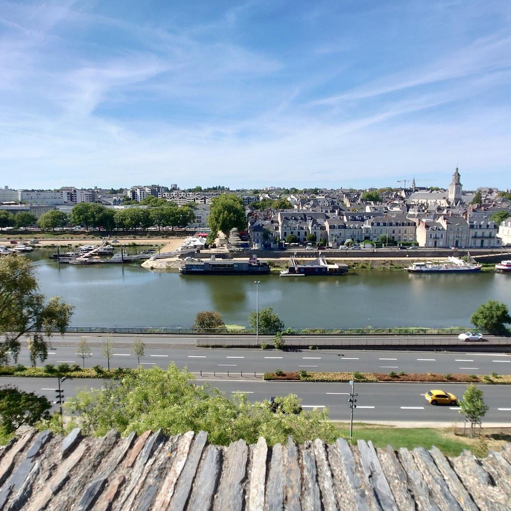
While hiking, you can explore various points of interest. The area is close to Angers, offering cultural sites like Angers Castle. You might also discover other castles such as Château de Villevêque. The Mayenne river features heritage sites like the lock at La Roussière and the port of Pruillé. For nature lovers, the Basses Vallées Angevines offer an observatory for birdwatching.
What do other hikers enjoy most about hiking in Cantenay-Épinard?
The hiking experience in Cantenay-Épinard is highly rated by the komoot community, with an average score of 4.4 stars from over 550 reviews. Hikers often praise the tranquil riverside paths, the expansive views across the Basses Vallées Angevines, and the well-maintained trails that offer a peaceful escape into nature.
Are there any longer, more challenging routes for experienced hikers?
Yes, for those seeking a longer challenge, routes like the Mayenne Riverside Path – Segré Bridge loop from Avrillé cover 21.5 km (13.3 miles) and are typically completed in about 5 hours 30 minutes. This route offers extensive riverside scenery and is classified as difficult due to its length.
Is there parking available near the trailheads?
Yes, parking is generally available in Cantenay-Épinard, especially near the village center and designated starting points for trails. There is a dedicated picnic area by the Mayenne river, near the reception pavilion, which often serves as a convenient starting point with parking facilities.
What is the best time of year to hike in Cantenay-Épinard?
The spring and autumn months are ideal for hiking in Cantenay-Épinard. Spring brings vibrant flora and active wildlife, while autumn offers beautiful colors. During flood seasons, the Basses Vallées Angevines become particularly attractive for birdwatching, with various migratory species present.
Are there opportunities for wildlife observation while hiking?
Absolutely. The natural environment of Cantenay-Épinard is rich in wildlife. The Basses Vallées Angevines are a haven for migratory birds, especially during flood seasons, where you might spot Little Egrets, Pintails, and Black-tailed Godwits. The bocage landscapes and forests are home to various species, and the rare Rosalie des Alpes beetle can be found on senescent trees.
Can I access the trails using public transport?
Cantenay-Épinard is less than 10 km from Angers, which is well-served by public transport. While direct public transport to specific trailheads within Cantenay-Épinard might be limited, you can likely reach the village from Angers and then access the trails on foot. Checking local bus schedules from Angers to Cantenay-Épinard is recommended for the most up-to-date information.
Most popular routes around Cantenay-Épinard
Most popular attractions around Cantenay-Épinard

Get inspired with the komoot mobile app


Explore more
Browse the best Hikes in other regions.
