The 20 Most Amazing Peaks around Saint-Martin-D'Arrossa
Best mountain peaks around Saint-Martin-D'Arrossa are located in the Pyrénées-Atlantiques department of southwestern France, nestled in the Basque Country. This region is characterized by its mountainous terrain, offering opportunities for hiking and exploration. The area provides panoramic views of the surrounding valleys and, on clear days, the Atlantic Ocean. Saint-Martin-D'Arrossa serves as a starting point for accessing several prominent peaks.
Best mountain peaks around Saint-Martin-D'Arrossa
- The most popular mountain peaks is Mondarrain, a summit that culminates at 749 meters.…
Last updated: July 7, 2026
Iparla Peak
Highlight • Summit
Translated by Google •
Tip by

Munhoa Summit
Highlight • Summit
Translated by Google •
Tip by

Sign up now to discover places like this
Get recommendations on the best single tracks, peaks, & plenty of other exciting outdoor places.
Sign up for free
Mont Artzamendi
Highlight • Summit
Translated by Google •
Tip by
Mondarrain
Highlight • Summit
Translated by Google •
Tip by
Elhorriko Kaskoa
Highlight • Summit
Translated by Google •
Tip by
Sign up for free to discover even more peaks around Saint-Martin-D'Arrossa.
Sign up for free
Already have an account?
Start today with a free account
Your next adventure awaits.
Login or Signup
Popular around Saint-Martin-D'Arrossa
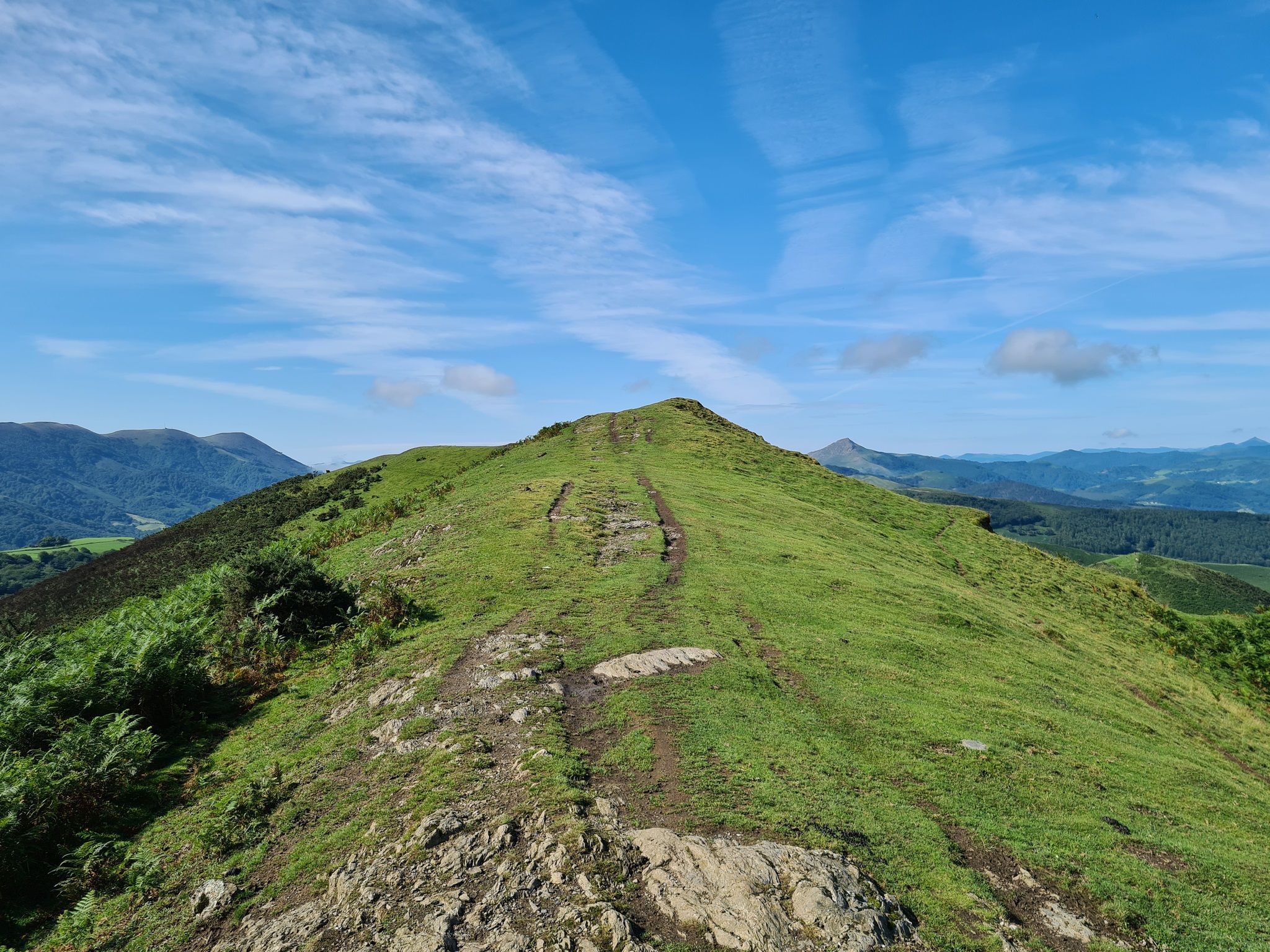
The Pyrenees to Biscay — La Grande Traversée MTB du Pays Basque
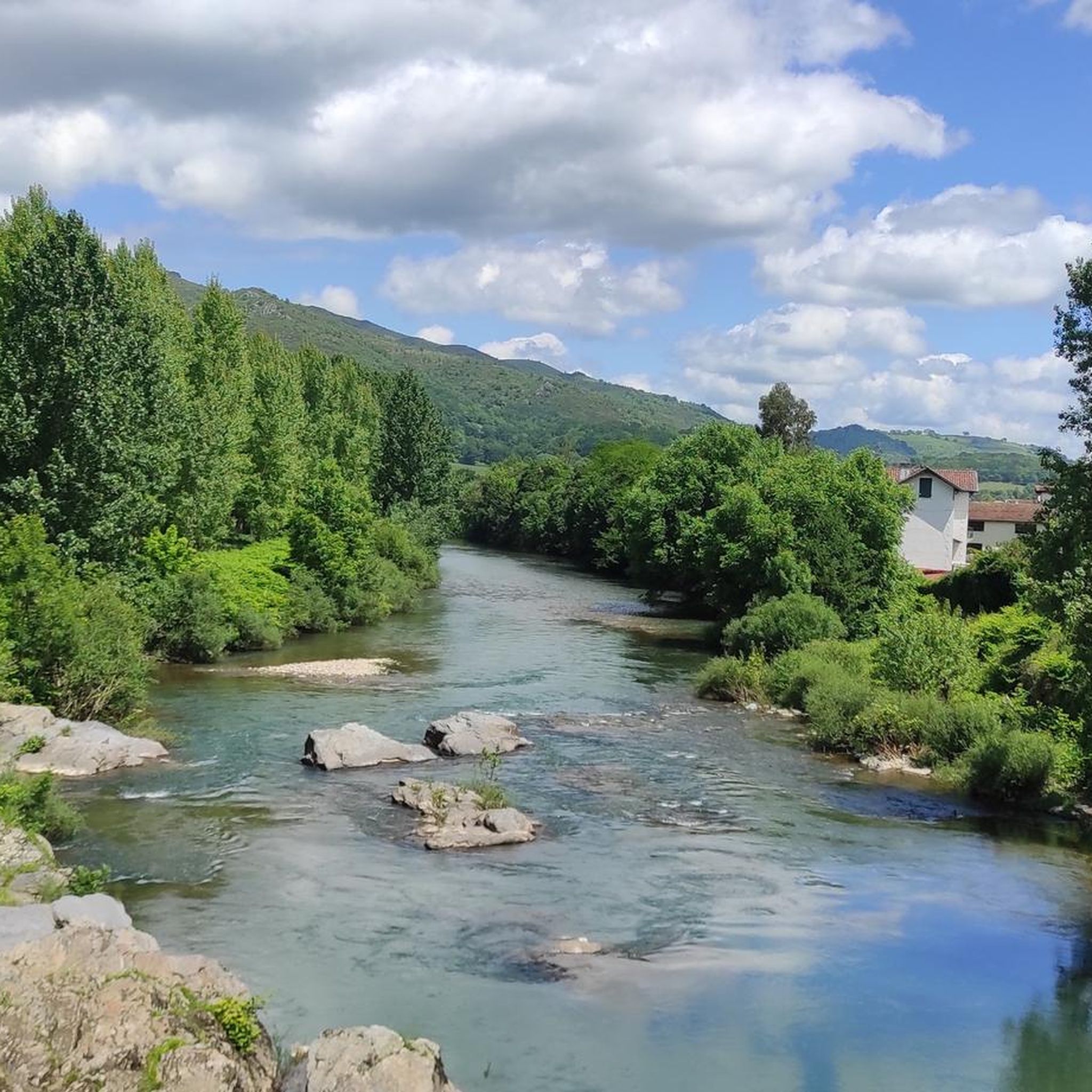
Hiking around Saint-Martin-D'Arrossa
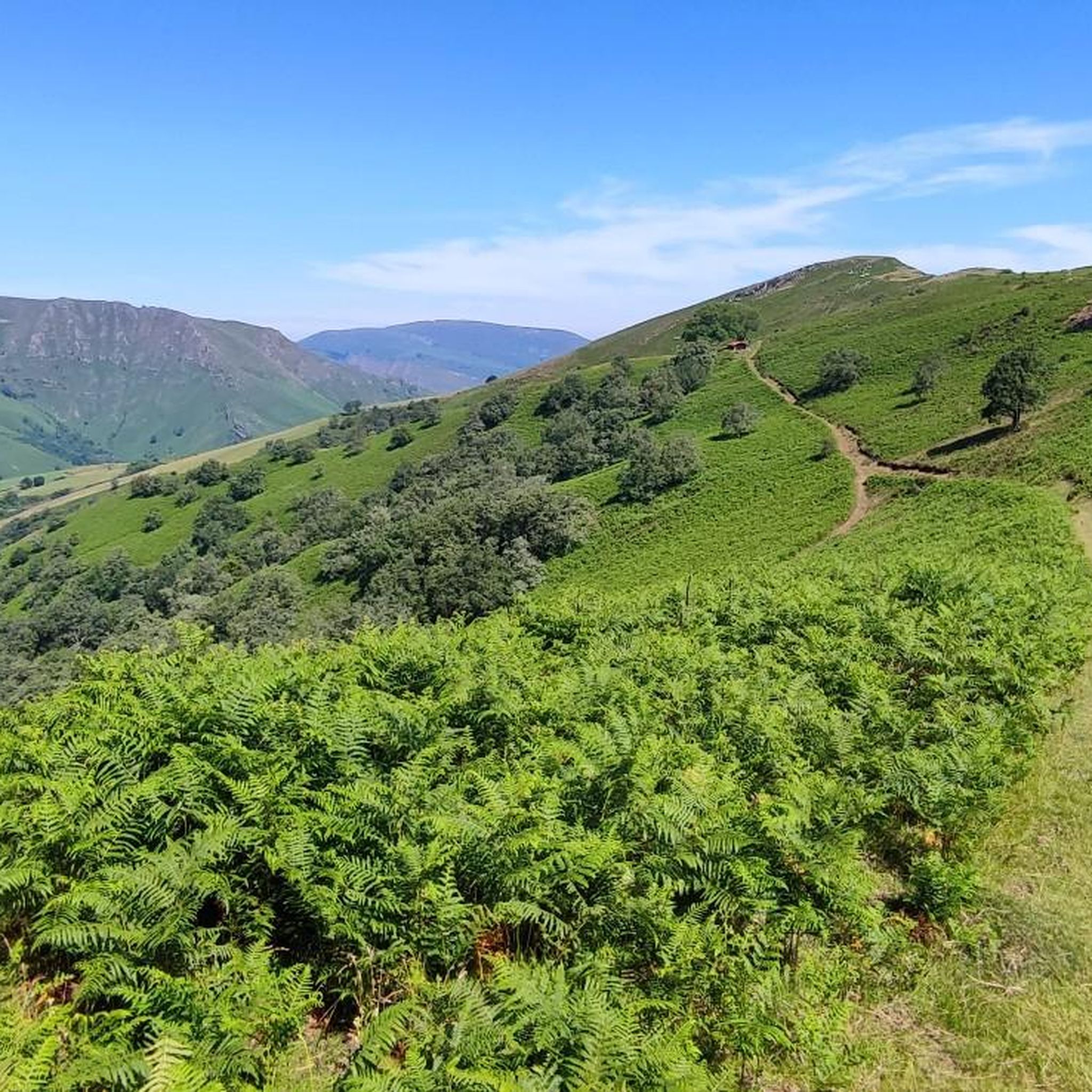
Road Cycling Routes around Saint-Martin-D'Arrossa
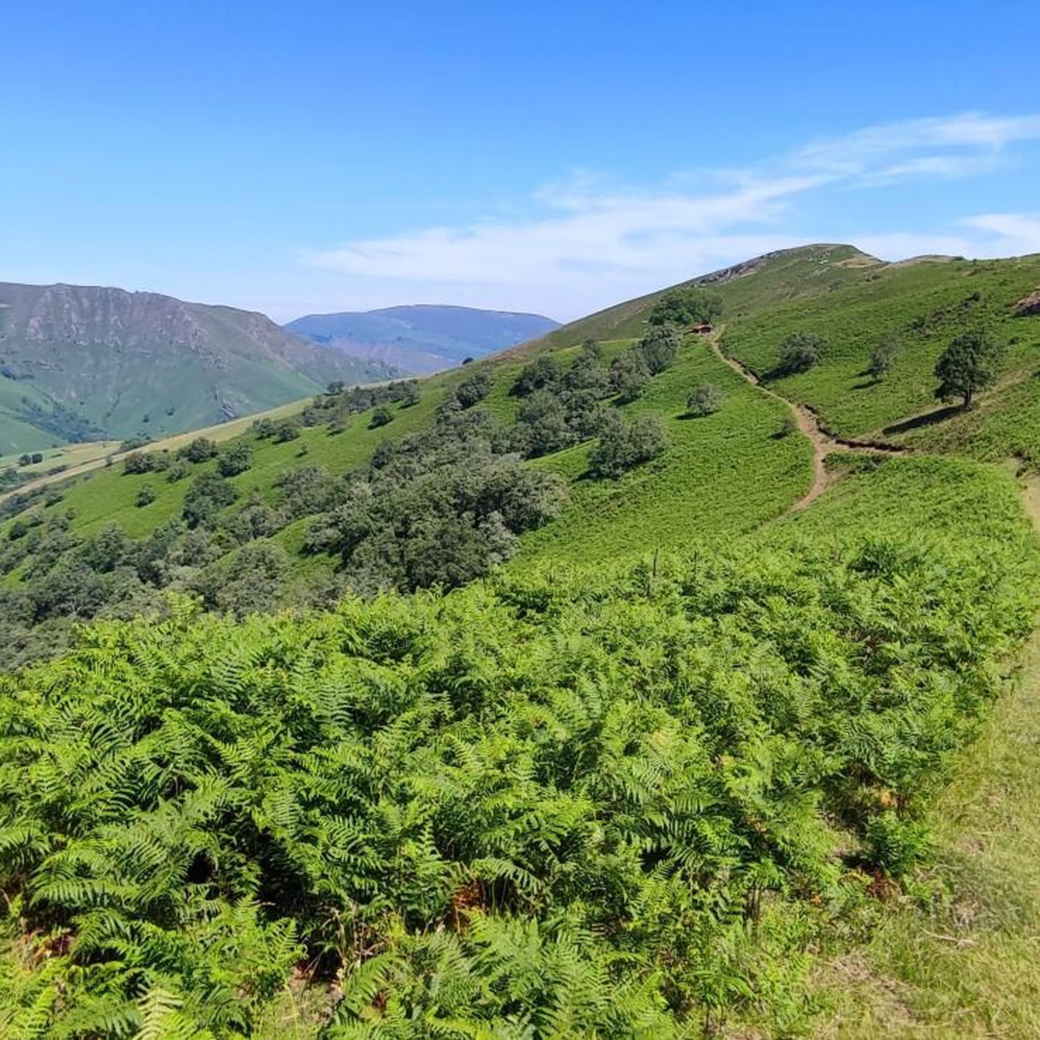
Cycling around Saint-Martin-D'Arrossa
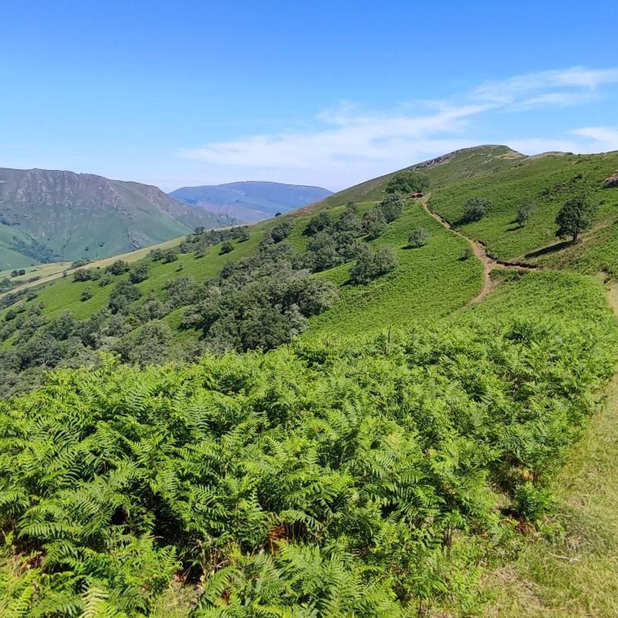
MTB Trails around Saint-Martin-D'Arrossa
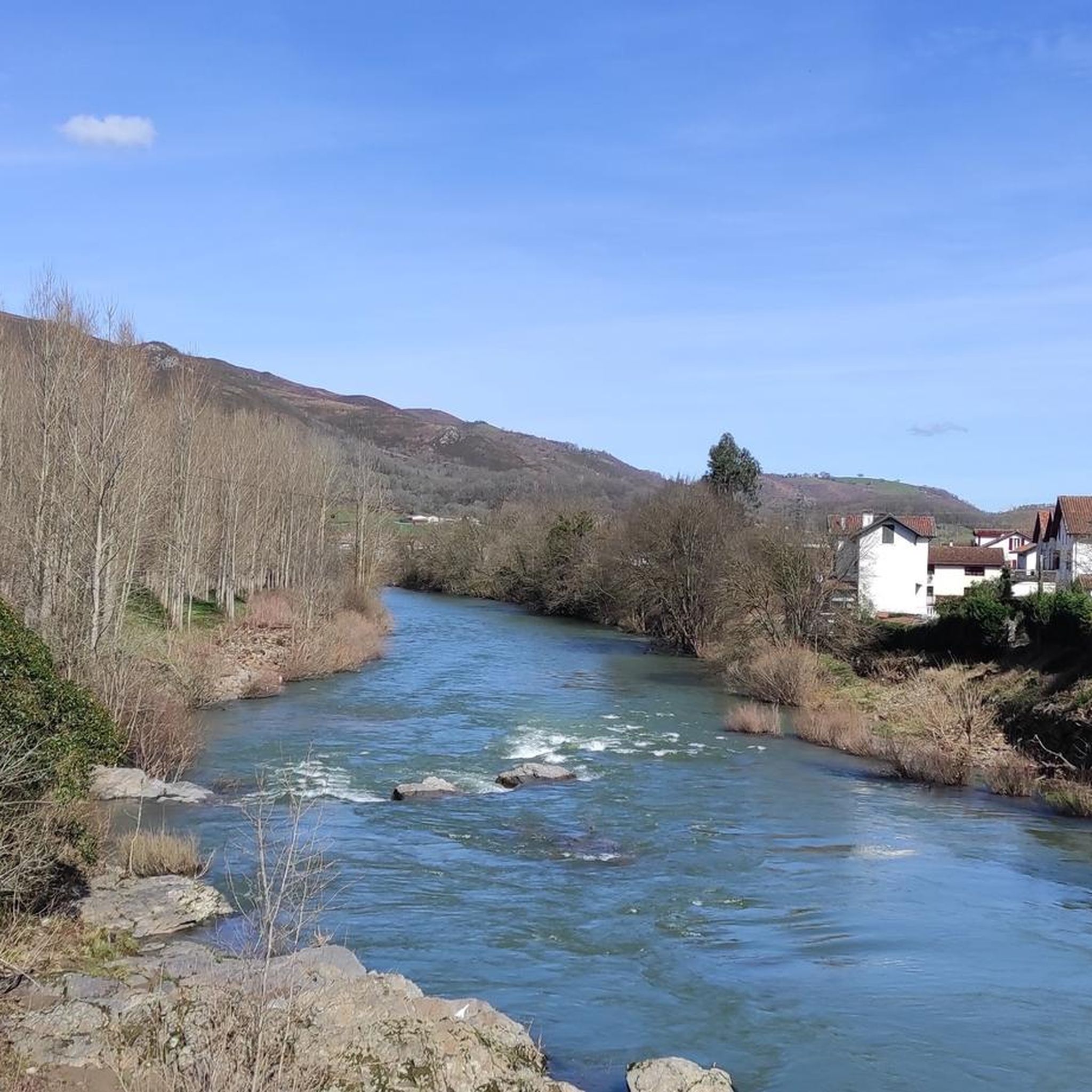
Running Trails around Saint-Martin-D'Arrossa

Gravel biking around Saint-Martin-D'Arrossa

Mountain Hikes around Saint-Martin-D'Arrossa
Other adventures around Saint-Martin-D'Arrossa

Tips from the Community

Munhoa is a peak in the French Basque Country which rises to 1,023 meters above sea level. Its toponymy finds its origin in the Basque word “muino” which means hill. From this mountain you can admire the valleys of Luzaide and Baïgorry separated by the Adartza massif.
1
0

Located at 987 meters above sea level, Elhorriko Kaskoa is a peak that is easily reached from the Ispeguy Pass. Dominating the village of Baigorri, it forms a great viewpoint over all the peaks of Iparla.
3
0
The Munhoa is a peak in the French Basque Country which culminates at 1,023 meters above sea level. Its toponymy finds its origin in the Basque word muino which means hill. From this mountain you can admire the valleys of Luzaide and Baïgorry separated by the Adartza massif.
2
1
Mount Artzamendi is reached by a short but particularly demanding climb. From Laxia, the climb is 5.6 kilometers at an average of 11% with passages at 19%. At the top, the panorama of the Basque Country extends practically to the Atlantic coast.
3
1
The peak of Iparla dominates the ridges of the same name, culminating at 1,044 meters above sea level. This magnificent natural wall symbolizes the separation between France and Spain. From the village of Bidarray the ascent is gradual without too much difficulty along the ridge.
4
0
The Artzamendi rises to 924 meters above sea level, making it the highest point in the province of Labourd. The "mountain of the bear" in Basque is identifiable by its large white ball which serves as a civilian radar station. This summit offers a very nice 360 degree panorama.
2
0
Culminating at 749 meters, Mondarrain is an iconic peak in the Basque Country. Its particular shape makes it easy to distinguish. The “Mount of Eagles” in Basque offers a magnificent view of the surrounding area including its neighbor, Artzamendi.
7
2

An impressive cliff. As you get closer to the void, you feel a current of air pushing you upwards
3
0
Frequently Asked Questions
What are some of the most popular mountain peaks to visit near Saint-Martin-D'Arrossa?
Some of the most appreciated peaks by the komoot community include Mondarrain, known for its iconic shape and views, and Baïgura, which offers an exceptional panorama of the Pyrenees. Iparla Peak is also highly rated, marking a natural separation between France and Spain.
What kind of views can I expect from the mountain peaks in this region?
The mountain peaks around Saint-Martin-D'Arrossa offer extensive panoramic views. From Mont Jara, you can enjoy a 360-degree vista of the surrounding valleys and, on clear days, even see the Atlantic Ocean. Peaks like Iparla Peak, Mont Artzamendi, and Baïgura provide breathtaking perspectives of the Basque mountains and the Pyrenees.
What makes Mont Jara a notable peak for hikers?
Mont Jara, at 812 meters, is a prominent peak offering a 360-degree panoramic view that can stretch to the Atlantic Ocean on clear days. The ascent from Saint-Martin-D'Arrossa is about 14 km with an elevation gain of 650 meters, taking around 4.5 hours. The trail features varied landscapes, from green pastures to rocky ridges, and allows observation of local flora and fauna like vultures and Pottoks (local horses).
Are there any peaks with historical significance near Saint-Martin-D'Arrossa?
Yes, Mont Jara was historically used as an observation post during the wars of the Convention in 1794. Additionally, the flanks of Pic de Larla feature an 'iron mine loop' trail, which allows visitors to explore the area's mining history, combining natural beauty with historical insight.
What is special about Iparla Peak?
Iparla Peak culminates at 1,044 meters and is known as a magnificent natural wall that marks the separation between France and Spain. It offers impressive cliffs and a sense of elevation, providing a challenging yet rewarding experience for hikers.
Can you tell me more about Mont Artzamendi?
Mont Artzamendi is reached by a short but particularly demanding climb, with sections reaching 19% gradient. From its summit, the panorama of the Basque Country extends practically to the Atlantic coast, making the challenging ascent worthwhile for the magnificent views.
What can I expect when hiking Munhoa Summit?
Munhoa Summit, at 1,023 meters, offers wonderful views, particularly of the valleys of Luzaide and Baïgorry. Hikers often encounter wild horses and sheep, adding to the natural charm of this intermediate-level peak.
What types of outdoor activities can I do near the mountain peaks of Saint-Martin-D'Arrossa?
The region offers a variety of outdoor activities. You can find numerous routes for mountaineering, such as the 'Erregelu loop from Blantzarte' or the 'Hautza – Arriurdin loop from Izpegiko lepoa'. There are also challenging MTB trails like 'De Bidarray à Artzamendi' and gravel biking routes, including the 'Roland Gorge – Route du Pas de Roland loop from Itxassou'. For more details, explore the Mountain Hikes, MTB Trails, and Gravel Biking guides for the area.
Are there challenging mountain hikes available around Saint-Martin-D'Arrossa?
Yes, several peaks and routes offer challenging experiences. Mont Artzamendi is known for its particularly demanding climb with steep gradients. Iparla Peak is also categorized as challenging. For specific routes, consider the 'Alkaxuri – Enterramenduko kaskoa loop from Harpeko Saindua' for mountaineering, or various difficult MTB and gravel biking trails.
When is the best time of year to hike the mountain peaks around Saint-Martin-D'Arrossa?
The region is generally suitable for hiking during spring, summer, and autumn. These seasons offer favorable weather conditions for exploring the trails and enjoying the panoramic views. Always check local weather forecasts before heading out, as conditions can change rapidly in mountainous areas.
Are there any intermediate-level peaks for hiking?
Yes, several peaks are suitable for intermediate hikers. Mondarrain and Munhoa Summit are both categorized as intermediate. The ascent of Mont Jara from Saint-Martin-D'Arrossa is also considered of medium difficulty, offering a rewarding experience without extreme challenges.
What natural features can I observe while hiking in this region?
Beyond the stunning mountain vistas, you can observe diverse natural features. The trails often pass through green pastures and rocky ridges. Keep an eye out for local wildlife such as vultures, sheep, goats, and the distinctive Pottok horses. The area's rich flora also adds to the natural beauty of the Basque Country.
Most popular routes around Saint-Martin-D'Arrossa
Most popular attractions around Saint-Martin-D'Arrossa

Get inspired with the komoot mobile app


Explore more
See even more amazing summits around Saint-Martin-D'Arrossa with these guides:
