The best walks and hikes around Macaye
4.3
(256)
1,746
hikers
25
hikes
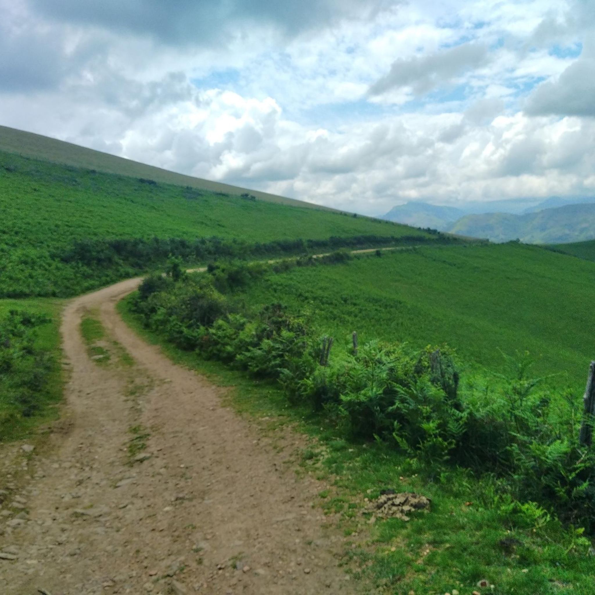
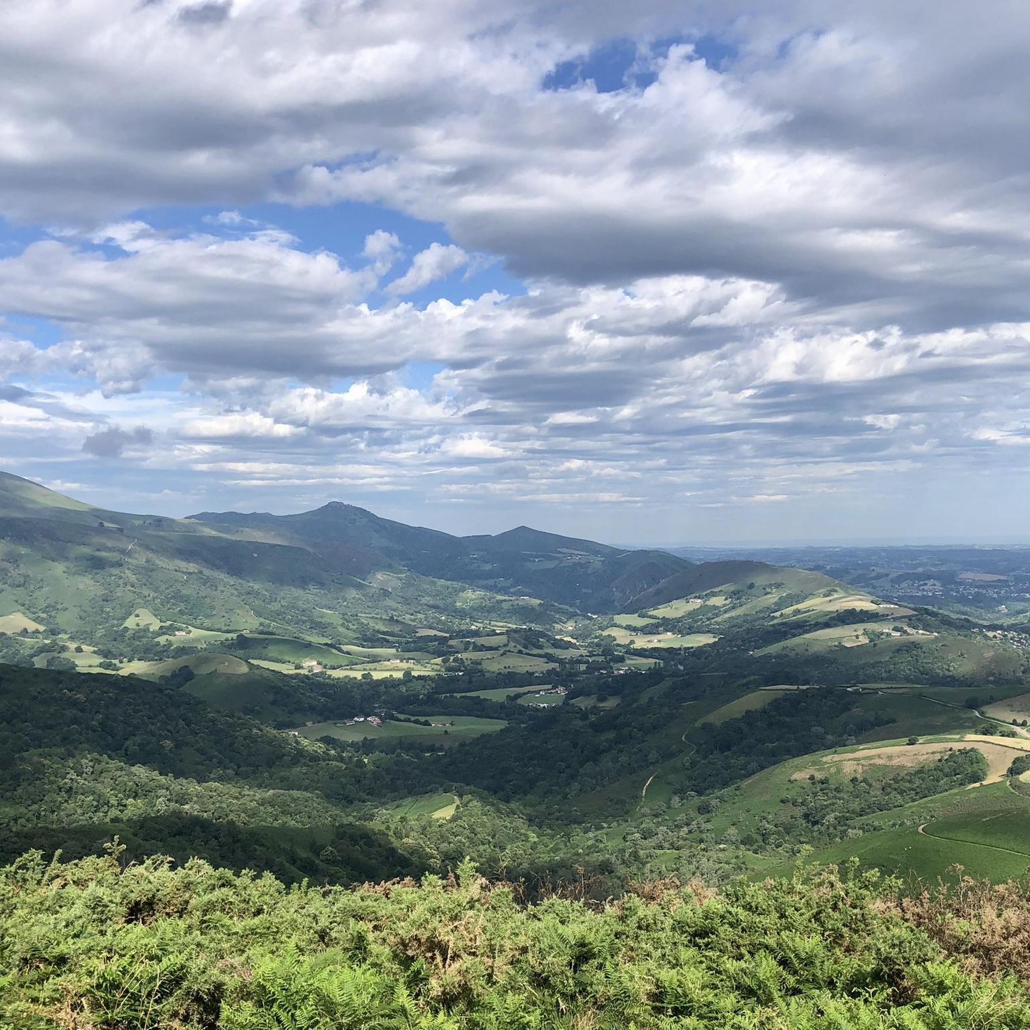
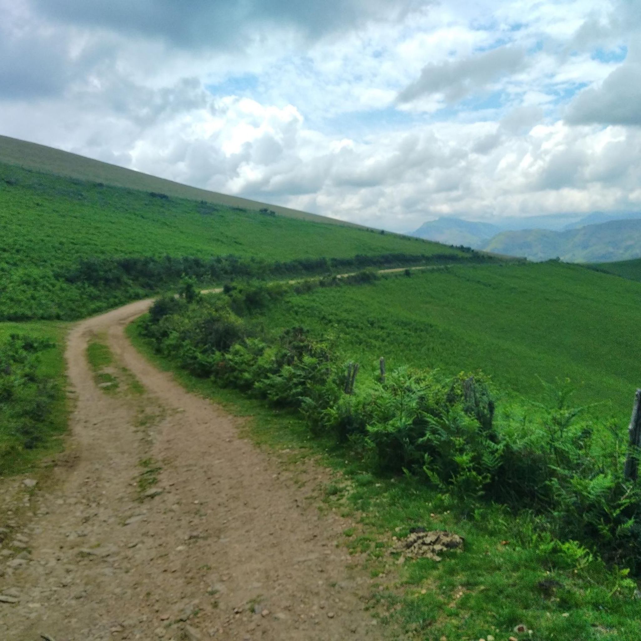
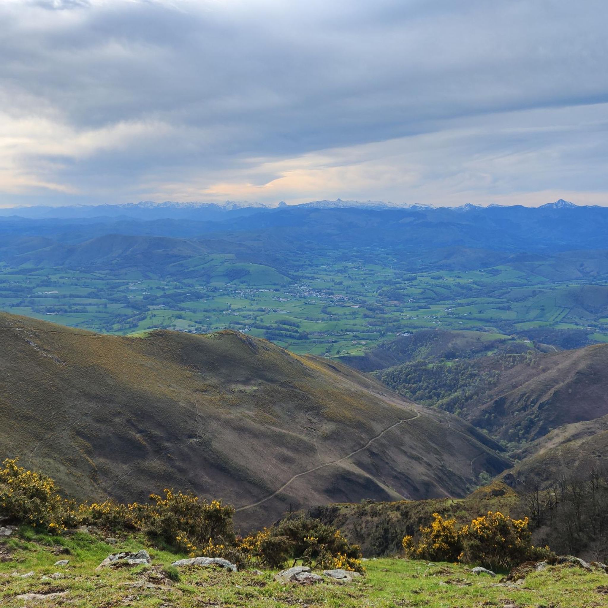
Hiking around Macaye offers a diverse landscape characterized by rolling hills, mountain passes, and open ridges. The region features a mix of forested paths and elevated trails, providing varied terrain for outdoor activities. Hikers can expect routes that traverse both lower valleys and higher elevations, with opportunities for scenic views. The area's topography supports a range of hiking experiences, from gentle walks to more challenging ascents.
Best hiking trails around Macaye
- The most popular hiking route is Ridge line 🤩😍…
Last updated: August 18, 2026
4.6
(37)
231
hikers
6.34km
02:07
300m
310m
Moderate hike. Good fitness required. Easily-accessible paths. Suitable for all skill levels.
4.3
(3)
61
hikers
9.01km
02:58
420m
420m
Moderate hike. Good fitness required. Easily-accessible paths. Suitable for all skill levels.

Sign up for free
4.6
(22)
160
hikers
14.1km
05:24
820m
820m
Hard hike. Very good fitness required. Mostly accessible paths. Sure-footedness required.
5.0
(11)
18
hikers
8.85km
03:00
450m
450m
Moderate hike. Good fitness required. Easily-accessible paths. Suitable for all skill levels.
5.0
(1)
20
hikers
4.18km
01:12
100m
100m
Easy hike. Great for any fitness level. Easily-accessible paths. Suitable for all skill levels.
Get access to more routes and recommendations from other explorers.
Sign up for free
Already have an account?
Our route recommendations are based on thousands of hikes, rides, and runs completed by other people on komoot.
Start today with a free account
Your next adventure awaits.
Login or Signup


Tips from the Community

When hiking or trail running at Urtsua, this stone table is the perfect spot for a break. Whether it’s a picnic or just a quick stretch, it’s a great place to pause for a moment, take a deep breath and enjoy the view.
0
0
Between the two peaks, Urtsua and Gaineko Ordokia, the elevated position means you have a wonderful view of the lower-lying areas all around you practically the whole way.
0
0

Its name in Basque is Makea, a town with a rich cultural scene
0
0

Route completed today, no problems along the entire route. Thank you.
1
0

You're talking about a trail I made in 2023. Some trails are more or less maintained. Go complain to the town hall if the path is no longer passable. I have several trails with complicated passages, I publish the trails anyway. If you're in sugar, don't follow my trails
2
0

This route is completely false and dangerous. You can go all the way to Baigura, but be careful, once you reach the top, follow the marked trail for the return journey. Above all, do not follow the loop from point 6; you'll find yourself in rocks and brambles, making it impossible to cross. Fortunately, I came across a farm with a farmer who took me back to the leisure center. It's a shame to publish such routes....
3
0

Avoid public holidays and vacation periods...
2
0

Very beautiful hike, quite easy even for families with a 360° view of the summit....Superb!
3
0
Frequently Asked Questions
How many hiking trails are available around Macaye?
The Macaye region offers a diverse network of over 25 hiking trails. These routes cater to various skill levels, including 10 easy, 13 moderate, and 3 difficult options, ensuring there's a suitable path for almost every hiker.
Are there family-friendly hiking routes suitable for children in Macaye?
Yes, Macaye has several easy hiking routes that are well-suited for families. These trails typically feature gentler terrain and shorter distances. You can find 10 easy routes in the area, perfect for a family outing.
Can I bring my dog on the hiking trails around Macaye?
Generally, dogs are welcome on many hiking trails in the Macaye region, especially if kept on a leash. However, it's always advisable to check specific trail regulations or local signage, particularly in nature reserves or protected areas, to ensure compliance.
What is the best season for hiking in Macaye?
The spring and autumn months are often considered ideal for hiking in Macaye, offering pleasant temperatures and vibrant landscapes. Summer can also be enjoyable, especially at higher elevations, but it's best to start early to avoid the midday heat. Winter hiking is possible, but some higher routes might be affected by snow or ice, requiring appropriate gear.
Are there many circular hiking routes in Macaye?
Yes, the Macaye area is well-suited for circular walks. Many routes are designed as loops, allowing you to start and finish at the same point. For example, the Mount Ursuia – Ridge line loop from Iramalda is a moderate 8.4 km circular trail that offers varied terrain.
What are some interesting places to see or landmarks near the trails?
The Macaye region is rich in natural beauty and cultural points of interest. You can explore landmarks such as Roland's Pass or the impressive Iparla Peak. The charming settlement of Espelette is also nearby, known for its unique architecture and local produce.
Which hikes offer the best scenic viewpoints in Macaye?
Many trails in Macaye provide excellent scenic viewpoints, particularly those traversing ridge lines and mountain passes. The Iramalda Pass – Mount Ursuia loop from Iturritxipiko Borda offers expansive views as it explores the area around these prominent features. Another great option is the Col d'Iramalda – Ridge line loop from Macaye, which provides panoramic vistas.
Is parking available at the trailheads in Macaye?
Parking is generally available at or near the starting points of many popular hiking trails in Macaye. Specific parking information can often be found on individual route descriptions on komoot, or by checking local signage upon arrival.
What do other hikers enjoy most about hiking in Macaye?
The Macaye area is highly rated by the komoot community, with an average score of 4.3 stars from over 200 reviews. Hikers frequently praise the diverse landscape, which includes rolling hills, prominent ridge lines, and varied elevation changes, offering a rewarding experience for all skill levels.
How long do easy hikes around Macaye typically take?
Easy hikes in Macaye vary in length and duration, but many can be completed within 1 to 2.5 hours. These routes are designed to be less strenuous, making them suitable for a leisurely walk or a quick outdoor escape.
Are permits required for hiking in the Macaye area?
For general hiking on established trails in the Macaye region, permits are typically not required. However, if you plan to access private land or specific protected areas, it's always best to check for any local regulations or requirements beforehand.
Are there opportunities for wild swimming near Macaye after a hike?
While Macaye itself is inland, the wider Basque Country region offers various rivers and coastal areas where wild swimming might be possible. It's recommended to research specific locations and ensure safety and legality before attempting any wild swimming.
Most popular routes around Macaye
Most popular attractions around Macaye

Get inspired with the komoot mobile app


Explore more
Browse the best Hikes in other regions.
