The best walks and hikes around Mallièvre
4.4
(351)
2,241
hikers
11
hikes
Hiking around Mallièvre offers diverse landscapes, including the Sèvre Nantaise river and its banks, characteristic bocage, and forested areas like the Forêt de Mervent. The region features hilly terrain and hidden valleys, providing varied hiking experiences. These natural features support rich biodiversity, making the trails engaging for wildlife observation. The area's network of trails caters to different fitness levels.
Best hiking trails around Mallièvre
- The most popular hiking route is From Mallièvre to Barbîn – Poupet Valley loop from Mallièvre…
Last updated: July 9, 2026
4.8
(19)
107
hikers
9.66km
02:36
120m
120m
Moderate hike. Good fitness required. Easily-accessible paths. Suitable for all skill levels.
4.5
(8)
28
hikers
8.77km
02:22
110m
110m
Moderate hike. Good fitness required. Easily-accessible paths. Suitable for all skill levels.

Sign up for free
4.3
(3)
17
hikers
3.09km
00:51
50m
50m
Easy hike. Great for any fitness level. Easily-accessible paths. Suitable for all skill levels.
4.5
(2)
12
hikers
14.8km
04:04
240m
240m
Moderate hike. Good fitness required. Easily-accessible paths. Suitable for all skill levels.
5.0
(2)
9
hikers
11.2km
03:00
130m
140m
Moderate hike. Good fitness required. Easily-accessible paths. Suitable for all skill levels.
Get access to more routes and recommendations from other explorers.
Sign up for free
Already have an account?
Our route recommendations are based on thousands of hikes, rides, and runs completed by other people on komoot.
Start today with a free account
Your next adventure awaits.
Login or Signup



Tips from the Community

Mallièvre, magnificent meeting place with the Sèvre Nantaise
1
0
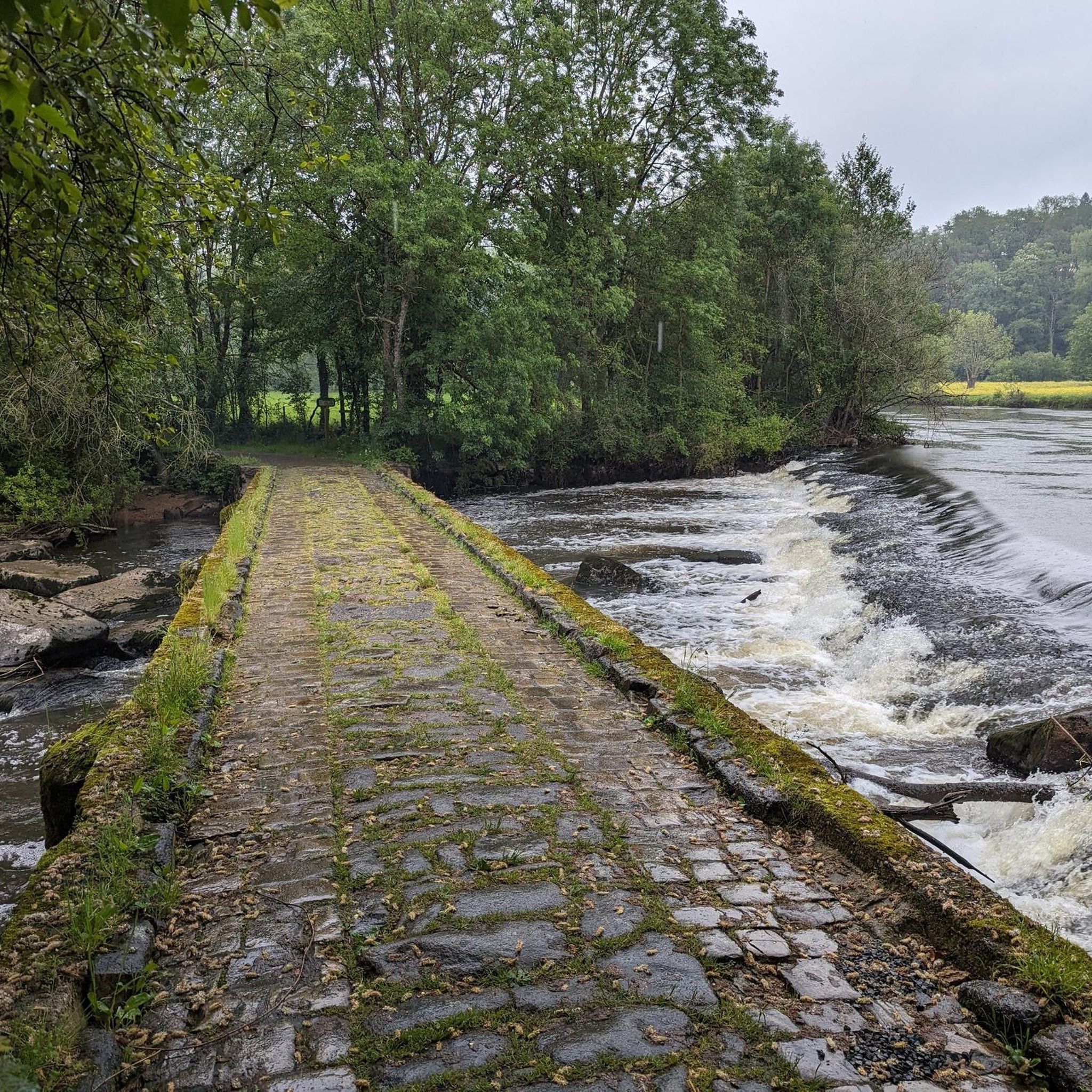
Nice loop to do especially when the POUPET ford is passable (Sèvre Nantaise in flood) to reduce the portions of bitumen.
1
0

This small lake is bordered by raised wooden walkways that give the impression of walking on water. A picnic area also allows you to take a break and enjoy your lunch if you feel like it.
4
0

A multitude of small paths run through this site of remarkable natural wealth. Notice to amateurs!!
1
0
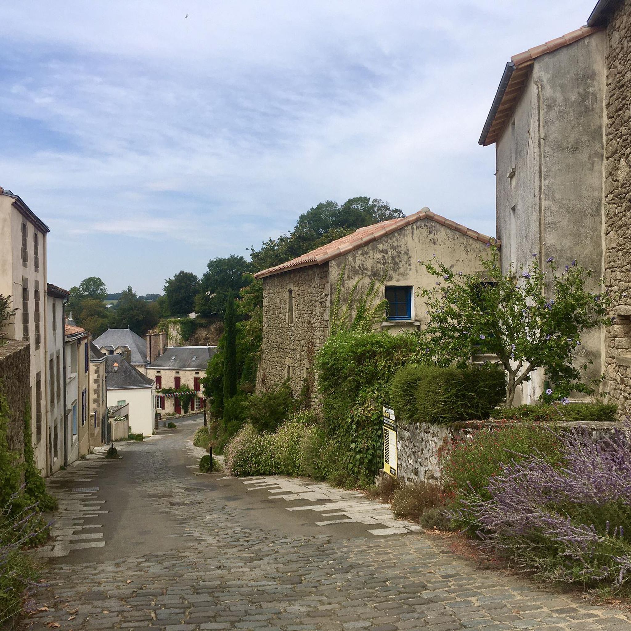
MALLIEVRE. Picturesque village nestled on the slopes of the Sèvre Nantaise. To visit absolutely.
1
0
Magnificent passage on the banks of the Sevre Nantaise.
0
0

Recreational, walking, and swimming area on the banks of the Sèvre Nantaise and site of the festival of the same name. The road to get there is a dead end, and to leave you will have to climb a dry hill with gradients of up to 16/17%, unless you continue on gravel along the river.
2
0
Frequently Asked Questions
How many hiking trails are available around Mallièvre?
Mallièvre offers a wide variety of hiking experiences, with over 110 trails recorded on komoot. These routes cater to different preferences, ranging from easy strolls to more challenging treks through the diverse landscape.
What kind of terrain can I expect on hikes in Mallièvre?
The terrain around Mallièvre is quite varied. You'll find picturesque paths along the Sèvre Nantaise river, through characteristic bocage landscapes with hedgerows and fields, and into forested areas like the Forêt de Mervent. The region also features gentle hills and hidden valleys, providing a dynamic hiking experience with some inclines and descents.
Are there easy hiking trails suitable for beginners or families in Mallièvre?
Yes, Mallièvre has plenty of options for easier hikes, with 52 trails rated as easy. These are often shorter loops or flatter sections, perfect for beginners or families. For example, the Poupet Valley – Chain tray loop from Mallièvre is an easy 3.6 km path that offers a pleasant walk.
Are there longer or more challenging hikes in the Mallièvre area?
For those seeking a longer adventure, Mallièvre offers 52 moderate and 6 difficult trails. A notable moderate option is the From Mallièvre to Barbîn – Poupet Valley loop from Mallièvre, which spans 14.8 km and takes approximately 4 hours to complete, featuring varied terrain through the scenic Poupet Valley.
Can I hike with my dog in Mallièvre?
Generally, the natural trails around Mallièvre, including riverside paths and forest routes, are suitable for hiking with dogs. It's always recommended to keep your dog on a leash, especially in areas with wildlife or near livestock, and to respect local regulations regarding pet access.
What kind of wildlife might I see while hiking around Mallièvre?
The Sèvre and Maine region boasts rich biodiversity. While hiking, you might spot various animals such as deer, wild boar, roe deer, and foxes. The river areas are home to otters and a variety of bird species, including swans, ducks, and herons, making for an engaging natural environment for wildlife observation.
Are there any circular walks available in Mallièvre?
Many of the hiking routes around Mallièvre are designed as circular loops, allowing you to start and end in the same location. An example is the Weaver's house – La Mallièvre loop from Mallièvre, a 8.5 km trail that takes you through the local countryside and the charming village itself.
What historical sites or attractions can I visit along the hiking trails?
Mallièvre is rich in history and charm. You can explore the picturesque village of Mallièvre itself, often referred to as a 'Small City of Character.' Along the trails, you might encounter sites like the historic Moulin de la Sagesse (Mill of Wisdom) or the impressive Viaduc de Barbin. The Saint-Michel-Mont-Mercure Bell Tower, the highest point in Vendée, also offers magnificent panoramic views.
What is the best time of year to go hiking in Mallièvre?
Mallièvre is enjoyable for hiking throughout much of the year. The shaded riverside paths along the Sèvre Nantaise are particularly pleasant during warmer months. Spring and autumn offer comfortable temperatures and beautiful scenery with changing foliage, while the bocage and forested areas provide diverse experiences in all seasons.
What do other hikers enjoy most about hiking in Mallièvre?
The hiking routes in Mallièvre are highly rated by the komoot community, with an average score of 4.5 stars from over 300 reviews. Hikers often praise the diverse landscapes, the charm of the village, and the well-maintained paths that offer a mix of riverside strolls, forest exploration, and gentle climbs through the hilly terrain.
Are there any specific trails that highlight the Sèvre Nantaise river?
Many trails in Mallièvre feature the beautiful Sèvre Nantaise river. The Chain tray – Poupet Valley loop from Mallièvre is a moderate 9.5 km path that explores the scenic Poupet Valley, offering delightful riverside sections and gentle ascents, showcasing the river's beauty.
Most popular routes around Mallièvre
Most popular attractions around Mallièvre

Get inspired with the komoot mobile app


Explore more
Browse the best Hikes in other regions.
