The best mountain hikes around Biriatou
5.0
(2)
8
hikers
2
hikes
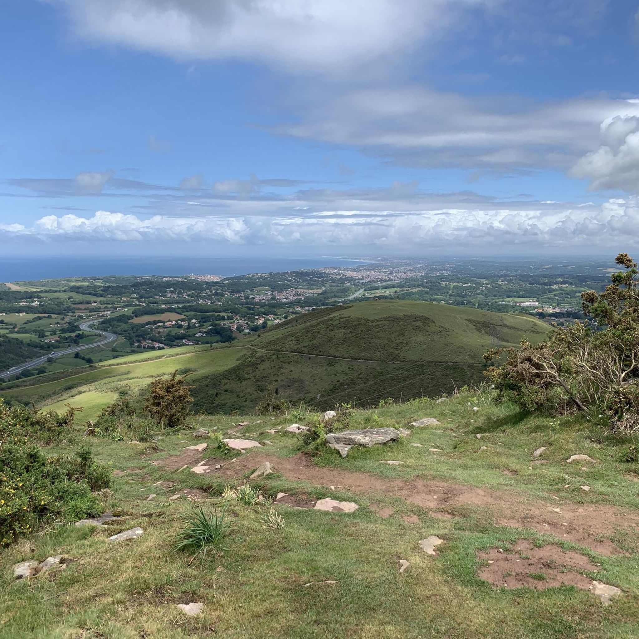
Mountaineering around Biriatou offers access to the western Pyrenees, characterized by rugged mountain terrain, diverse landscapes, and the scenic Bidassoa valley. The region features prominent peaks like Xoldokogaina and La Rhune, providing challenging ascents and panoramic views of the Basque Coast and the Bay of Biscay. Numerous mountain passes, including Col d'Ibardin and Col de Lizarrieta, serve as gateways to an extensive network of trails, some forming part of the long-distance GR10 route. This area provides a mountainous environment for…
Last updated: October 18, 2026
6
hikers
11.0km
04:25
530m
530m
Moderate mountaineering route. Good fitness required. Mostly walkable paths. Sure-footedness required.
5.0
(2)
1
hikers
Moderate mountaineering route. Good fitness required. Mostly walkable paths. Sure-footedness required.

1
hikers
12.0km
03:50
480m
470m
Moderate mountaineering route. Good fitness required. Easily walkable paths.
Our route recommendations are based on thousands of hikes, rides, and runs completed by other people on komoot.
Start today with a free account
Your next adventure awaits.
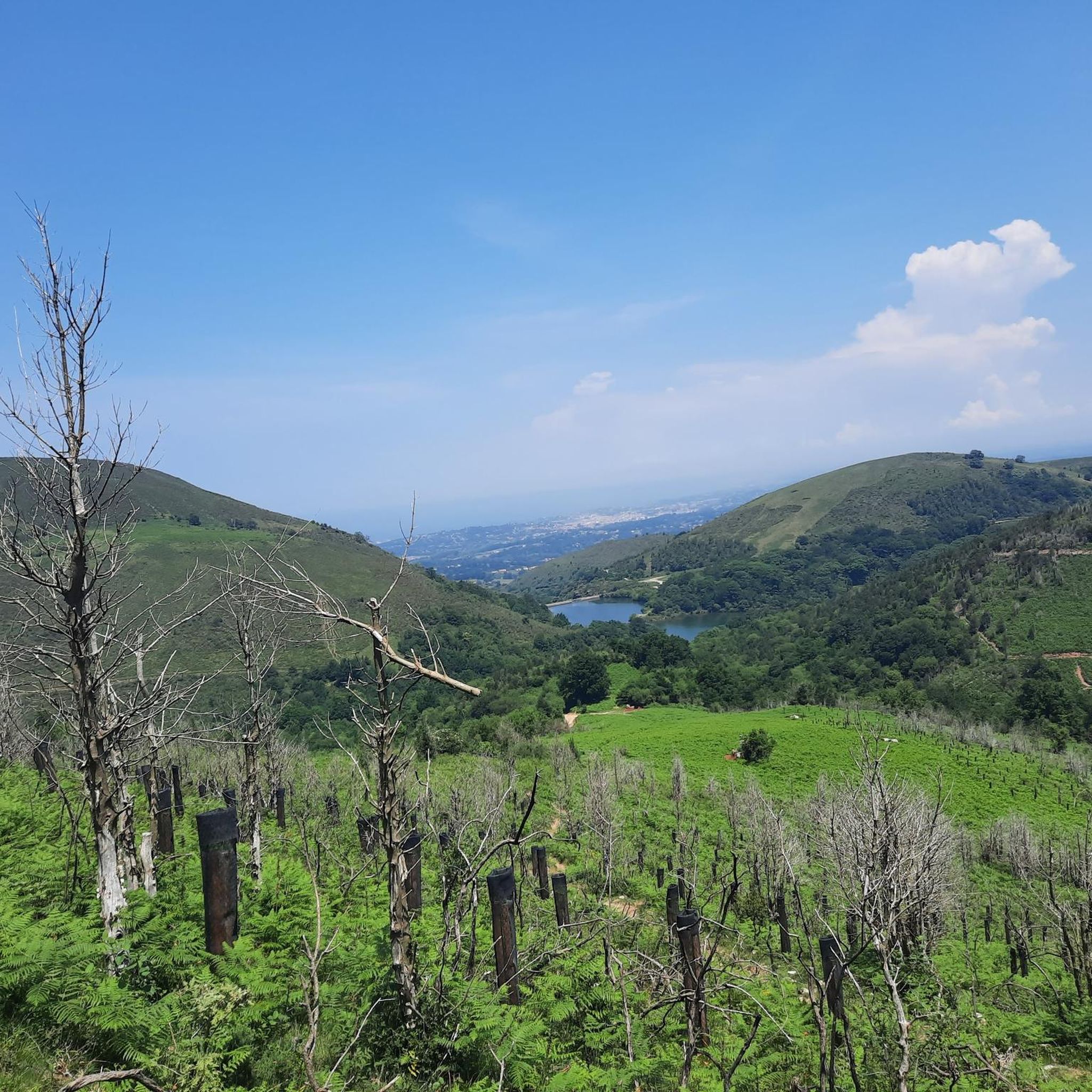
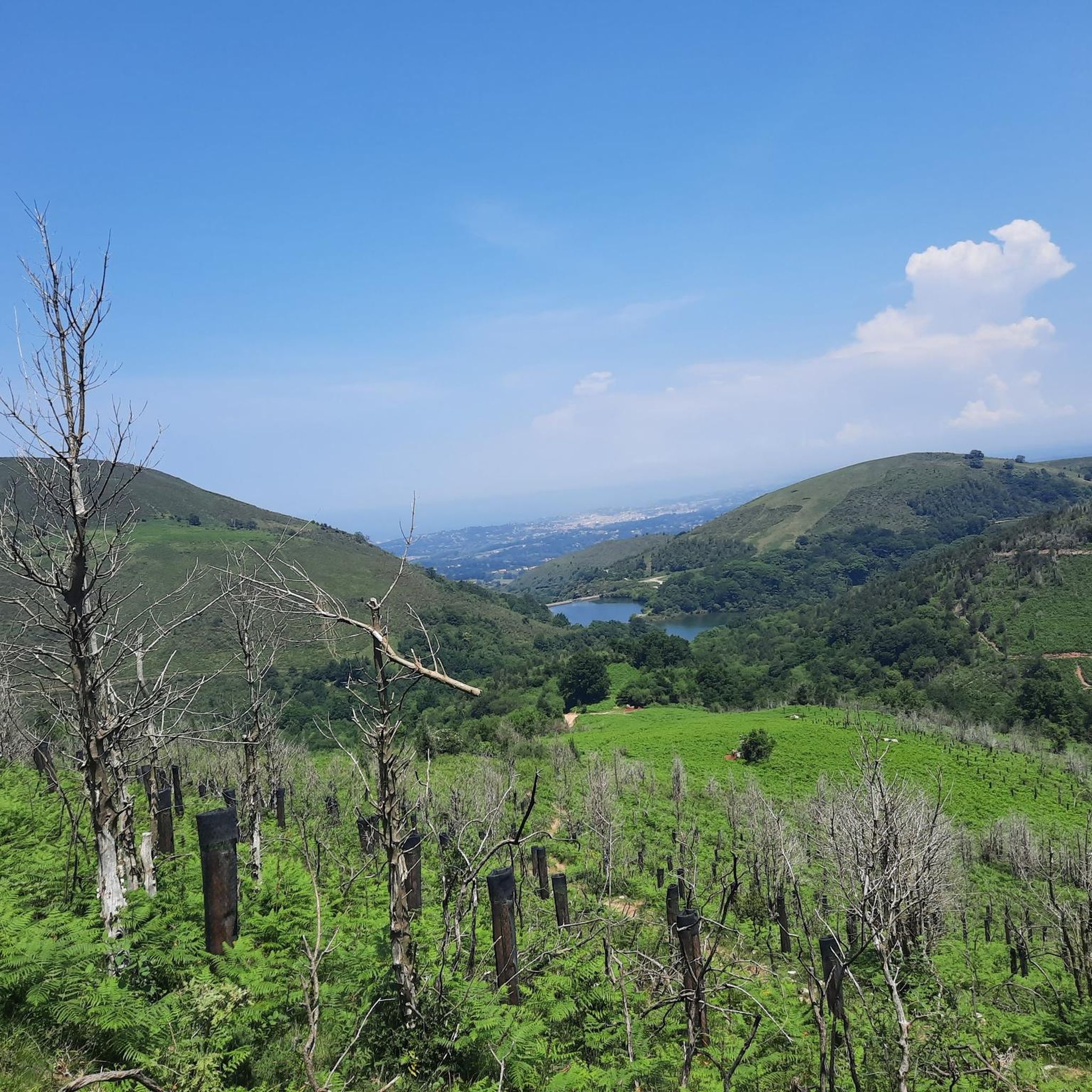
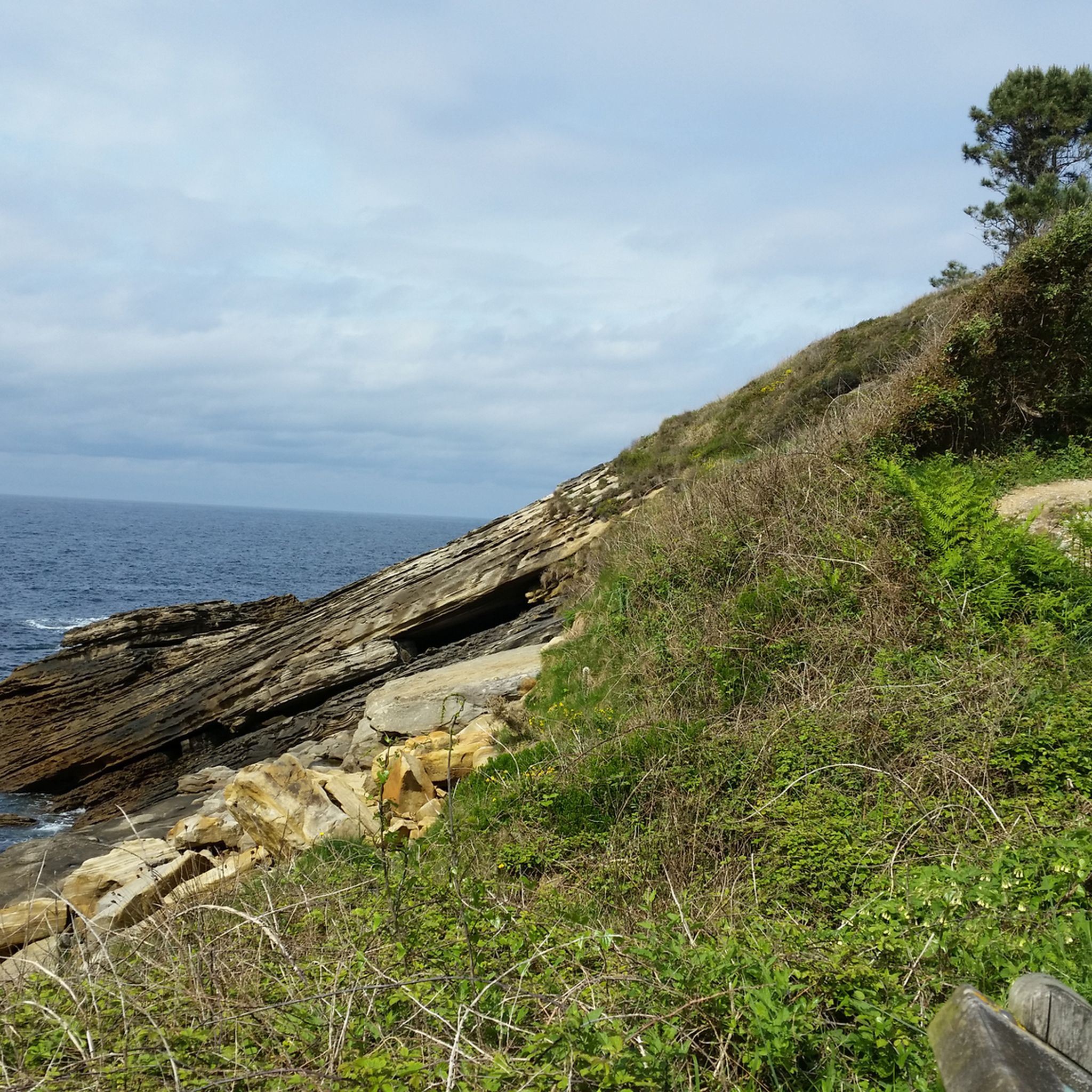
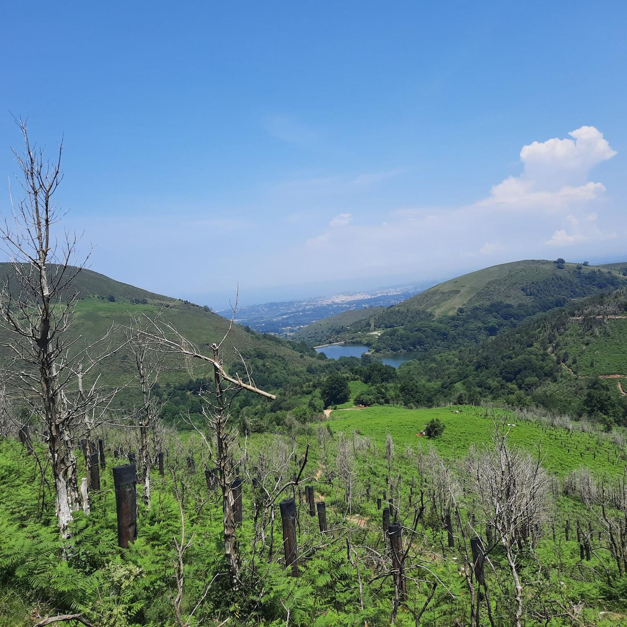

Tips from the Community

This is a great rest area where the Pyrenees HRP / GR11 trail intersects with a drivable road. There are two bars available, though only one is open in the morning, the second seems more geared towards the dinner crowd. They serve both food and drinks, but be warned: *payment is cash only* as they do not accept cards (information accurate as of 2026). Because of the easy road access, it's a lively spot where hikers and cyclists often cross paths. Best of all, right next to the road, there is a highly convenient drinking water fountain and public restrooms. Definitely a useful waypoint on the trail!
1
0

Near the end of the stream section, the concrete blocks covering the stream are as of September 2025 completely missing, leaving you two options forward: 1) walk on a 20cm wide path right next to a big cliff, 2) walk inside of the stream bed, knee-deep in water. We decided to turn back because it did not seem safe for us. Caution recommended!
1
0

People suffering from vertigo should avoid... It's not wide at all in places.
0
0

Route through the forest that connects the Elurretxe and Aritxulegi hills
0
0
A beautiful panoramic view that allows you to see the west face of Aiako Harria and the Arditurri valley
0
0

Beautiful hiking route claiming the Endara Valley surrounded by dense forests and streams on the eastern slope of the Aiako Harria massif.
1
0
The trail passes through this charming Japanese larch forest. Magnificent giants that cast shadows on the path.
0
0
Frequently Asked Questions
How many mountaineering routes are available around Biriatou?
There are several mountaineering routes around Biriatou, with komoot offering 8 distinct tours. These include a mix of moderate and difficult options, catering to various experience levels.
What kind of terrain can I expect on mountaineering routes near Biriatou?
Mountaineering around Biriatou offers rugged mountain terrain within the western Pyrenees. You'll encounter diverse landscapes, prominent peaks like Xoldokogaina and La Rhune, and the scenic Bidassoa valley. Routes often feature challenging ascents and provide panoramic views of the Basque Coast and the Bay of Biscay.
Are there any circular mountaineering routes in the Biriatou area?
Yes, many of the mountaineering routes around Biriatou are circular. For example, you can explore the challenging Txurrumurru Summit Sculpture loop from Endara or the moderate Aritxulegi loop from Lasaingana, both offering a return to your starting point.
What are some notable landmarks or viewpoints I can discover while mountaineering near Biriatou?
The region is rich in natural and historical landmarks. You can reach the iconic La Rhune summit for incredible views, or pass through the scenic Saint-Ignace Pass. The Ermita de Guadalupe also offers a point of interest along some routes. Many trails provide expansive views of the Basque Coast and the Bay of Biscay.
Are there any challenging mountaineering routes for experienced hikers?
Absolutely. Biriatou is known for its physically demanding treks. For a difficult challenge, consider the Txurrumurru Summit Sculpture loop from Endara, which covers 9.2 km with significant elevation gain. Another demanding option is the Pilotalekugaña – Larhun loop from Alkegiberea, spanning over 13 km.
What is the best time of year for mountaineering in Biriatou?
The best time for mountaineering in Biriatou is generally during the warmer months, from late spring to early autumn (May to October), when the weather is more stable and trails are clear of snow. Summer offers long daylight hours, but be prepared for potential heat. Always check local weather conditions before heading out.
Are there any huts or shelters available along the mountaineering routes?
Yes, there are several huts and shelters in the vicinity that can be useful for longer treks or as resting points. Examples include Gîte Trapero Baita, Lizarrietako lepoa, and Benta Beltza Shelter. These can offer a place to rest or take refuge.
What do other mountaineers say about the routes in Biriatou?
The mountaineering routes in Biriatou are highly regarded by the komoot community, with an impressive average score of 4.9 stars from over 10 reviews. Mountaineers often praise the varied terrain, the challenging ascents, and the stunning panoramic views of the Basque Coast and the Pyrenees.
Can I reach the mountaineering trailheads using public transport?
While Biriatou itself is a village, access to specific trailheads for mountaineering often requires a car due to the mountainous terrain and the dispersed nature of starting points. Public transport options might be limited directly to the more remote trailheads, so planning for private transport or a taxi is advisable for convenience.
Are there any easier or moderate mountaineering options for those with less experience?
Yes, not all routes are extremely difficult. There are several moderate options suitable for those building their mountaineering experience. For instance, the Larhun – Sugizeaga loop from Manttu Baïta is a moderate 10.5 km path exploring the surroundings of La Rhune, and the Mountaineering loop from Irun is a shorter moderate option at 7.3 km.
What are the typical durations for mountaineering routes around Biriatou?
The durations for mountaineering routes around Biriatou vary depending on the distance and difficulty. You can find routes ranging from approximately 2 hours for shorter moderate treks, such as the Mountaineering loop from Irun, to over 5 hours for more challenging and longer expeditions like the Pilotalekugaña – Larhun loop from Alkegiberea.
Most popular routes around Biriatou
Most popular attractions around Biriatou

Get inspired with the komoot mobile app


Explore more
Browse the best Mountain Hikes & Routes in other regions.
