The best walks and hikes around Bellegarde
4.6
(148)
583
hikers
72
hikes
Hiking around Bellegarde offers trails through a landscape characterized by forests, canals, and tranquil pond areas. The terrain is generally flat, with minimal elevation changes, making it suitable for accessible walks. This region provides opportunities to explore wooded paths and waterways, typical of the Loiret department.
Best hiking trails around Bellegarde
- The most popular hiking route is Canal et Brin d'Amour — Tour entre Sury-aux-Bois et Combreux, a 6.8 miles (11.0 km) trail that takes 2 hours 49 minutes…
Last updated: July 8, 2026
4.7
(20)
47
hikers
11.0km
02:49
50m
50m
Hike the moderate 6.8-mile Canal et Brin d'Amour loop through Orléans forest, past historic canals, charming villages, and scenic ponds.
4.3
(4)
13
hikers
7.09km
01:49
20m
30m
Easy hike. Great for any fitness level. Easily-accessible paths. Suitable for all skill levels.

Sign up for free
10
hikers
7.90km
02:02
30m
40m
Moderate hike. Good fitness required. Easily-accessible paths. Suitable for all skill levels.
5.0
(1)
5
hikers
7.87km
02:02
40m
40m
Moderate hike. Good fitness required. Easily-accessible paths. Suitable for all skill levels.
5.0
(1)
5
hikers
8.81km
02:14
20m
20m
Moderate hike. Good fitness required. Easily-accessible paths. Suitable for all skill levels.
Get access to more routes and recommendations from other explorers.
Sign up for free
Already have an account?
Our route recommendations are based on thousands of hikes, rides, and runs completed by other people on komoot.
Start today with a free account
Your next adventure awaits.
Login or Signup

Tips from the Community

Good morning, I'm looking for an idea for a hike of around 2/3 hours around the Combreux leisure center. Back and forth, before picnic. Thanks in advance. Sincerely.
1
0

The Caillettes belvedere is located in the heart of the Ingrannes massif. This 24 meter high lookout tower stands on the Caillettes hill at the highest point of the Orléans forest. It offers a breathtaking view of the entire surrounding massif and the forest canopy. An orientation table allows you to orient yourself when reading the surrounding points of interest.
0
0

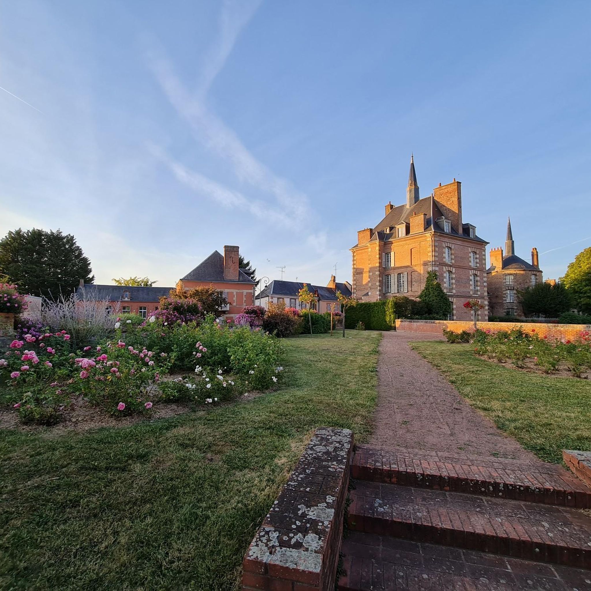
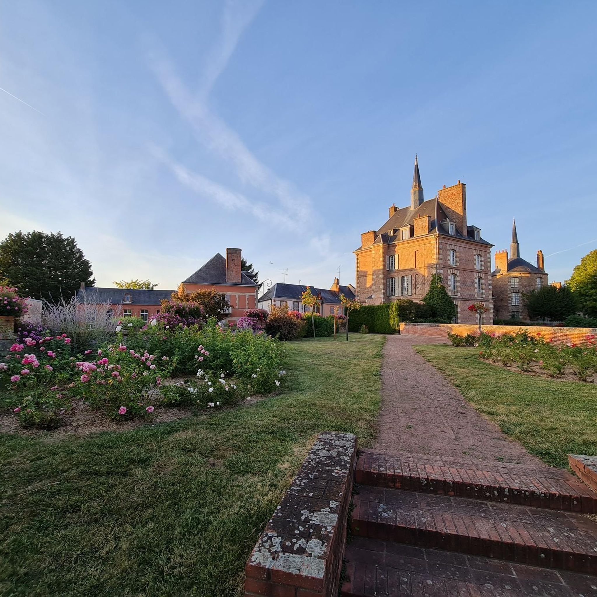
Keep and its pretty turrets, built between the 14th and 18th centuries and surrounded by a moat. Access to the exterior is free and is definitely worth a look when the rose gardens are in bloom in May-June.
0
0
The smallest pond around Combreux, which serve as reservoirs for the Orleans Canal
0
0
The Combreux lock marks the end, to the west, of the Orléans Canal dividing reach, a section constituting the highest point of the canal. It is 39.6 meters long and 5.2 meters wide. It is not functional as is.
1
0
Very pleasant pond, suitable for swimming and fishing. An equipped beach nearby
1
0

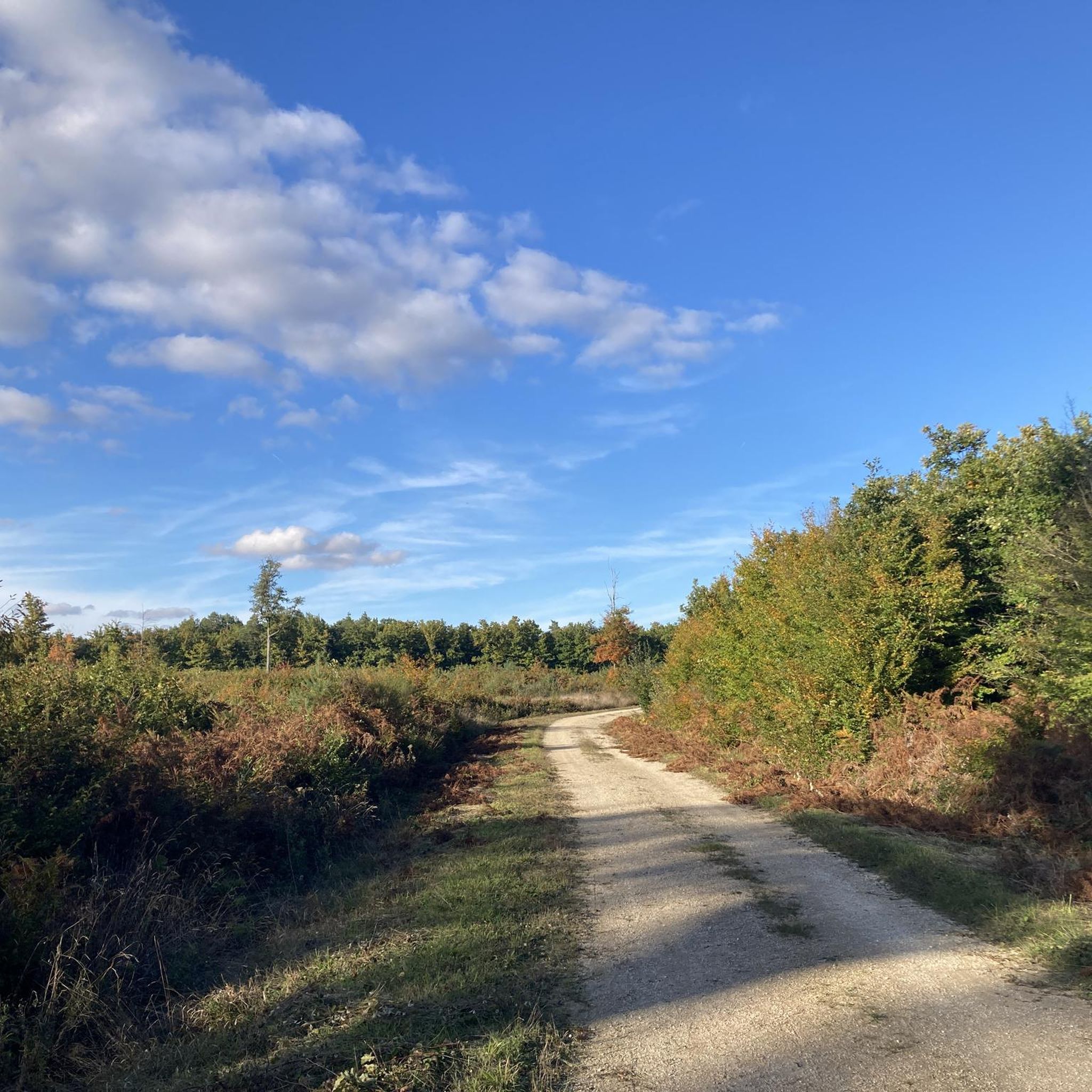
A beautiful place to be on the canopy of the forest of Orleans. There are beautiful tracks to discover around.
1
0

The castle was rebuilt on a 16th century building between 1887 and 1905 in a neo-medieval style. Subsequently, an additional floor decorated in the neo-Gothic style will be added to the building. A squat and massive tower is the only witness of the first construction of the castle.
1
0
Frequently Asked Questions
What kind of hiking terrain can I expect around Bellegarde?
Hiking around Bellegarde, located in the Loiret department, is characterized by generally flat terrain with minimal elevation changes. You'll find trails winding through forests, alongside canals, and around tranquil pond areas, offering accessible walks suitable for various fitness levels.
How many hiking trails are available in the Bellegarde area?
There are over 75 hiking trails around Bellegarde documented on komoot. These range from easy strolls to moderate excursions, ensuring options for different ability levels.
Are there any easy or family-friendly hiking routes in Bellegarde?
Yes, Bellegarde offers many easy and family-friendly routes due to its generally flat terrain. An excellent option is the Sentier de la rose — Loop in Bellegarde, an easy 4.4-mile (7.1 km) path that winds through local scenery with minimal elevation gain.
What are some notable natural features or viewpoints to discover on hikes?
The region is known for its wooded paths, canals, and tranquil pond areas. For a specific viewpoint, consider the Caillettes Viewpoint – Pond area loop from Sury-aux-Bois, which leads through scenic pond areas and offers a pleasant vista.
Are there any circular hiking routes around Bellegarde?
Yes, many routes in the area are circular. For example, the Sentier de la rose — Loop in Bellegarde is a popular easy loop, and the Combreux Castle loop from Sury-aux-Bois offers a moderate circular walk.
What do other hikers say about the trails in Bellegarde?
The trails in Bellegarde are highly rated by the komoot community, with an average score of 4.6 stars from over 100 reviews. Hikers often praise the quiet woodlands, peaceful canal paths, and the overall accessibility of the routes.
Are there any longer or more challenging hikes available?
While the region is generally flat, there are moderate options for longer excursions. The Canal et Brin d'Amour — Tour entre Sury-aux-Bois et Combreux is a moderate 6.8-mile (11.0 km) trail following canals and forest paths, taking around 2 hours 49 minutes to complete.
What kind of historical or cultural landmarks can I see near the hiking trails?
You can explore several interesting landmarks near the hiking trails. These include the Grignon Locks and the Lockkeeper's House, and the historic Combreux Castle. The Combreux Castle loop from Sury-aux-Bois is a route that passes by the castle.
Are there any trails that pass by water features like ponds or canals?
Yes, many trails in Bellegarde feature water elements. The region is known for its network of canals and tranquil pond areas. The Canal et Brin d'Amour — Tour entre Sury-aux-Bois et Combreux is a prime example, following scenic canal paths.
What is the average length and duration of hikes in Bellegarde?
Hikes in Bellegarde vary in length, but many popular routes are between 4 to 7 miles (7 to 11 km). For instance, the Sentier de la rose — Loop in Bellegarde is 4.4 miles (7.1 km) and takes about 1 hour 48 minutes, while the Canal et Brin d'Amour — Tour entre Sury-aux-Bois et Combreux is 6.8 miles (11.0 km) and takes approximately 2 hours 49 minutes.
Can I find trails that lead to recreational areas or leisure centers?
Yes, some trails can lead you to recreational spots. For example, the Étang de la Vallée Leisure Center is a nearby attraction that could be incorporated into a hike or visited after a walk.
Most popular attractions around Bellegarde

Get inspired with the komoot mobile app


Explore more
Browse the best Hikes in other regions.
