The best walks and hikes around Hauterive-La-Fresse
4.4
(258)
2,156
hikers
95
hikes
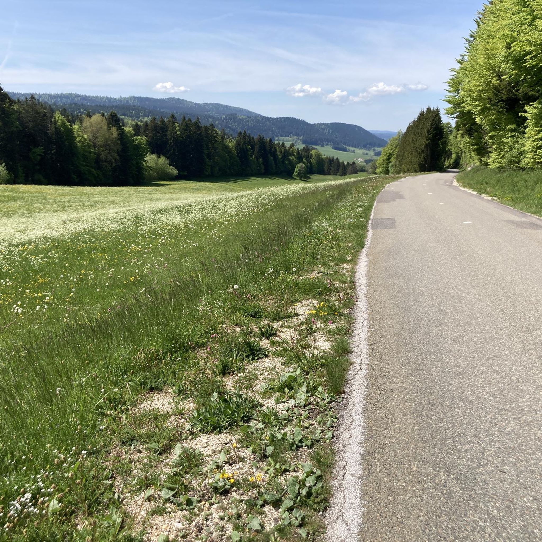
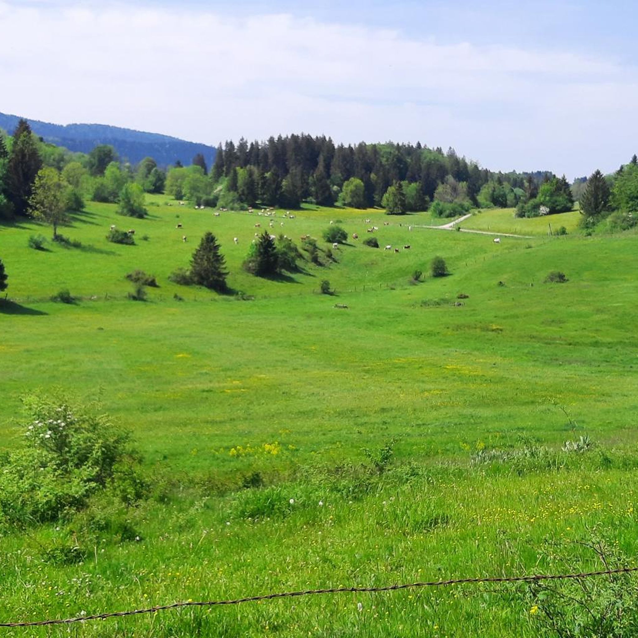
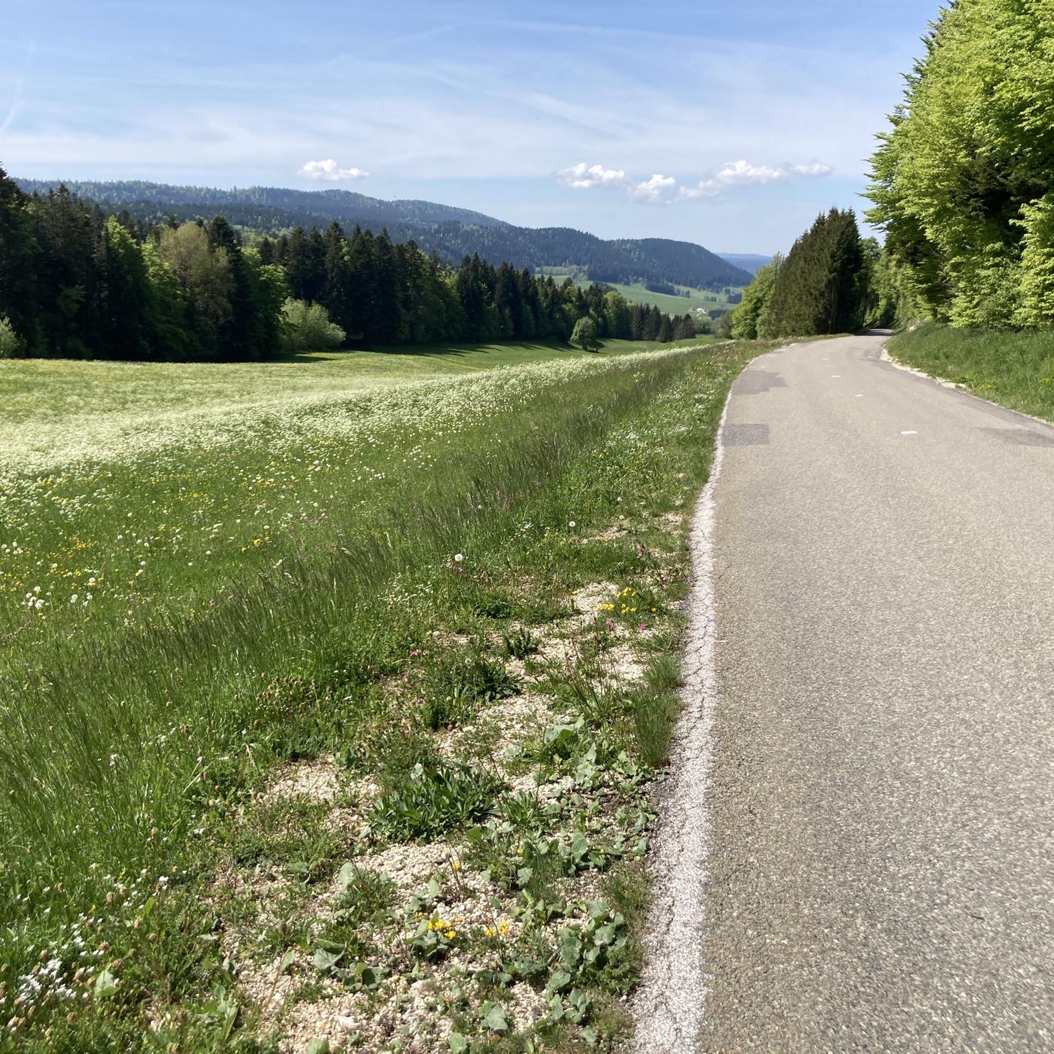
Hiking around Hauterive-La-Fresse offers access to the varied landscapes of the Doubs region in France. The terrain is characterized by rolling hills, dense forests, and river valleys, with notable features like waterfalls and elevated viewpoints. The area is part of the Parc naturel régional du Doubs Horloger, providing a natural setting for outdoor activities. Hikers can expect a mix of woodland paths and open sections, with some routes featuring moderate elevation changes.
Best hiking trails around Hauterive-La-Fresse
- The most popular…
Last updated: July 20, 2026
4.4
(24)
89
hikers
Moderate hike. Good fitness required. Mostly accessible paths. Sure-footedness required.
3.5
(4)
11
hikers
8.08km
02:27
280m
280m
Moderate hike. Good fitness required. Mostly accessible paths. Sure-footedness required.

Sign up for free
3.8
(8)
50
hikers
5.74km
01:43
180m
180m
Easy hike. Great for any fitness level. Easily-accessible paths. Suitable for all skill levels.
5.0
(1)
24
hikers
Moderate hike. Good fitness required. Easily-accessible paths. Suitable for all skill levels.
5.0
(2)
24
hikers
7.33km
02:14
260m
270m
Moderate hike. Good fitness required. Easily-accessible paths. Suitable for all skill levels.
Get access to more routes and recommendations from other explorers.
Sign up for free
Already have an account?
Our route recommendations are based on thousands of hikes, rides, and runs completed by other people on komoot.
Start today with a free account
Your next adventure awaits.
Login or Signup
Tips from the Community

Hiking trail only. No mountain biking
0
0

The highest point of the Larmont mountain range, the Grand Taureau, at an altitude of 1,323 m, offers panoramic views of the Alps. An orientation table helps you better decipher the landscape. For hikers, multiple trails cross this area.
2
0


Unguarded hut about 300m from the summit, directly on the GR5 / GTJ.
0
0

From a height of 120 m, this series of waterfalls descends from Mont Chateleu. Small but beautifully formed, these waterfalls are a feast for the eyes.
3
0
Crêt Monniot is a soft and extended summit, covered with pastures and offering panoramic views of the surroundings. Its gentle and even slopes make it an ideal place for kites and a destination for snowshoes in winter.
2
0

Le Grand Taureau is a beautiful peak that culminates at 1,323 meters above sea level. At its top, an orientation table allows you to better appreciate the surroundings. You will find a shelter nearby if you wish to spend the night there.
3
0
At 1,302 meters above sea level, Mont Châteleu offers a superb panorama of the Jura massif. You access by a beautiful path in the middle of a fir forest which culminates on a fairly clear summit.
2
0
Frequently Asked Questions
How many hiking trails are available around Hauterive-La-Fresse?
There are over 90 hiking trails in the Hauterive-La-Fresse area. This includes a diverse range of routes, with approximately 40 easy, 50 moderate, and a few more challenging options to explore the varied landscapes of the Doubs region.
Are there easy, family-friendly walks in Hauterive-La-Fresse?
Yes, Hauterive-La-Fresse offers several easy trails suitable for families. A good option is the Chaudières Falls – Wooden Bridge Over the Stream loop from Les Gras, which is about 3.6 miles (5.7 km) long and leads through forests and alongside a stream, perfect for a leisurely outing.
Can I bring my dog on the hiking trails?
Many trails in the Hauterive-La-Fresse area are dog-friendly, especially those within the Parc naturel régional du Doubs Horloger. It's always recommended to keep dogs on a leash, particularly in areas with wildlife or near livestock, and to check specific trail regulations if posted at trailheads.
Are there trails that feature waterfalls or scenic viewpoints?
Absolutely. The region is known for its natural beauty. The Cascade des Chaudières et mont Châteleu loop offers both a waterfall and elevated views from Mont Châteleu. Another route, Le Crêt Monniot — loop from la Chaux, provides excellent panoramic vistas from Crêt Monniot.
What kind of wildlife might I encounter while hiking?
The dense forests and natural park settings around Hauterive-La-Fresse are home to various wildlife. You might spot deer, wild boar, and a variety of bird species. Keep an eye out for local raptors soaring above the valleys. Respecting their habitat by staying on marked trails and keeping noise to a minimum increases your chances of a sighting.
Are there challenging hiking routes for experienced hikers?
Yes, for those seeking a more strenuous experience, there are a few challenging routes. The area offers trails with significant elevation changes, such as the Grand Taureau Shelter (1290 m) – Le Grand Taureau loop from Les Dames d'Entreportes, which covers over 13 km with considerable ascent, providing a rewarding workout and expansive views.
What is the best time of year to hike in Hauterive-La-Fresse?
The best time to hike is typically from late spring to early autumn (May to October). During these months, the weather is generally mild, and the trails are clear. Spring brings lush greenery and wildflowers, while autumn offers vibrant fall foliage. Summer is also popular, but trails can be busier.
Are there any circular walking routes available?
Many of the trails in the Hauterive-La-Fresse area are designed as circular routes, allowing you to return to your starting point without retracing your steps. Examples include the Cascade des Chaudières et mont Châteleu loop and the Rocher du Cerf loop from Le Théverot, which offers a moderate 7.3 km circuit.
What do other hikers enjoy most about the trails here?
The komoot community highly rates the hiking experience in Hauterive-La-Fresse, with an average score of 4.5 stars from over 200 reviews. Hikers frequently praise the diverse landscapes, including the quiet woodlands, the impressive waterfalls, and the well-maintained paths within the Parc naturel régional du Doubs Horloger.
Are there any interesting landmarks or attractions near the hiking trails?
Yes, the region offers several points of interest. You can explore natural wonders like the Glacière de Monlési Ice Cave or the Mont Châteleu summit. For cultural insights, consider visiting the Saint-Bénigne Church or the nearby town of Pontarlier.
Are there places to eat or drink along the hiking routes?
While many trails traverse natural and relatively undeveloped areas, some routes may pass near small villages or hamlets where you might find local eateries or cafes. It's advisable to carry sufficient water and snacks, especially on longer hikes, as facilities might not be directly on the trail. Checking local maps or guidebooks for specific amenities along your chosen route is recommended.
What are the winter hiking conditions like in Hauterive-La-Fresse?
Winter hiking in Hauterive-La-Fresse can be beautiful, with snow-covered landscapes, but it requires preparation. Trails can be icy or covered in deep snow, especially at higher elevations. Some paths may be closed or difficult to access. Snowshoes or microspikes might be necessary, and it's crucial to check local weather forecasts and trail conditions before heading out.
Is public transport available to reach trailheads?
Public transport options to reach specific trailheads directly might be limited, as many routes start from smaller villages or rural areas. It's often more convenient to access the region by car. However, some larger towns nearby may have bus services, and you might be able to combine a short walk from a bus stop to a trailhead. Planning your route in advance and checking local transport schedules is recommended.
Most popular routes around Hauterive-La-Fresse
Most popular attractions around Hauterive-La-Fresse

Get inspired with the komoot mobile app


Explore more
Browse the best Hikes in other regions.
