The best walks and hikes around Gellin
4.6
(1637)
13,655
hikers
268
hikes
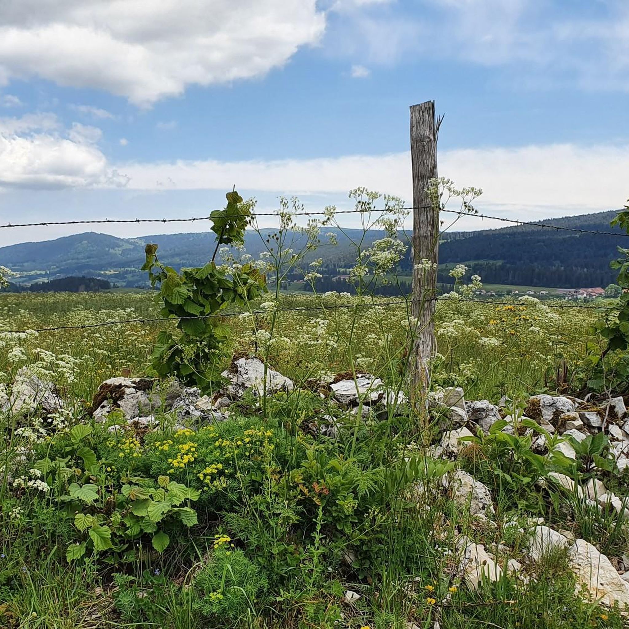
Hiking around Gellin offers a diverse landscape characterized by river valleys, elevated viewpoints, and alpine pastures. The region features a network of trails that explore the source of the Doubs river and surrounding natural areas. Terrain varies from gentle paths along waterways to more challenging ascents through hills and open country.
Best hiking trails around Gellin
- The most popular hiking route is Doubs Bridge – The source of the Doubs loop from Sarrageois, a 6.2 miles (9.9 km) moderate…
Last updated: July 6, 2026
4.6
(5)
58
hikers
3.68km
00:57
20m
20m
Easy hike. Great for any fitness level. Easily-accessible paths. Suitable for all skill levels.
3.9
(12)
34
hikers
9.71km
02:41
160m
160m
Moderate hike. Good fitness required. Easily-accessible paths. Suitable for all skill levels.

Sign up for free
5.0
(1)
39
hikers
1.26km
00:23
40m
40m
Easy hike. Great for any fitness level. Easily-accessible paths. Suitable for all skill levels.
4.5
(4)
25
hikers
21.7km
06:23
610m
610m
Hard hike. Very good fitness required. Easily-accessible paths. Suitable for all skill levels.
4.7
(3)
22
hikers
Easy hike. Great for any fitness level. Easily-accessible paths. Suitable for all skill levels.
Get access to more routes and recommendations from other explorers.
Sign up for free
Already have an account?
Our route recommendations are based on thousands of hikes, rides, and runs completed by other people on komoot.
Start today with a free account
Your next adventure awaits.
Login or Signup

Tips from the Community

Small bridge in the Doubs source area with a beautiful view of the water.
2
0
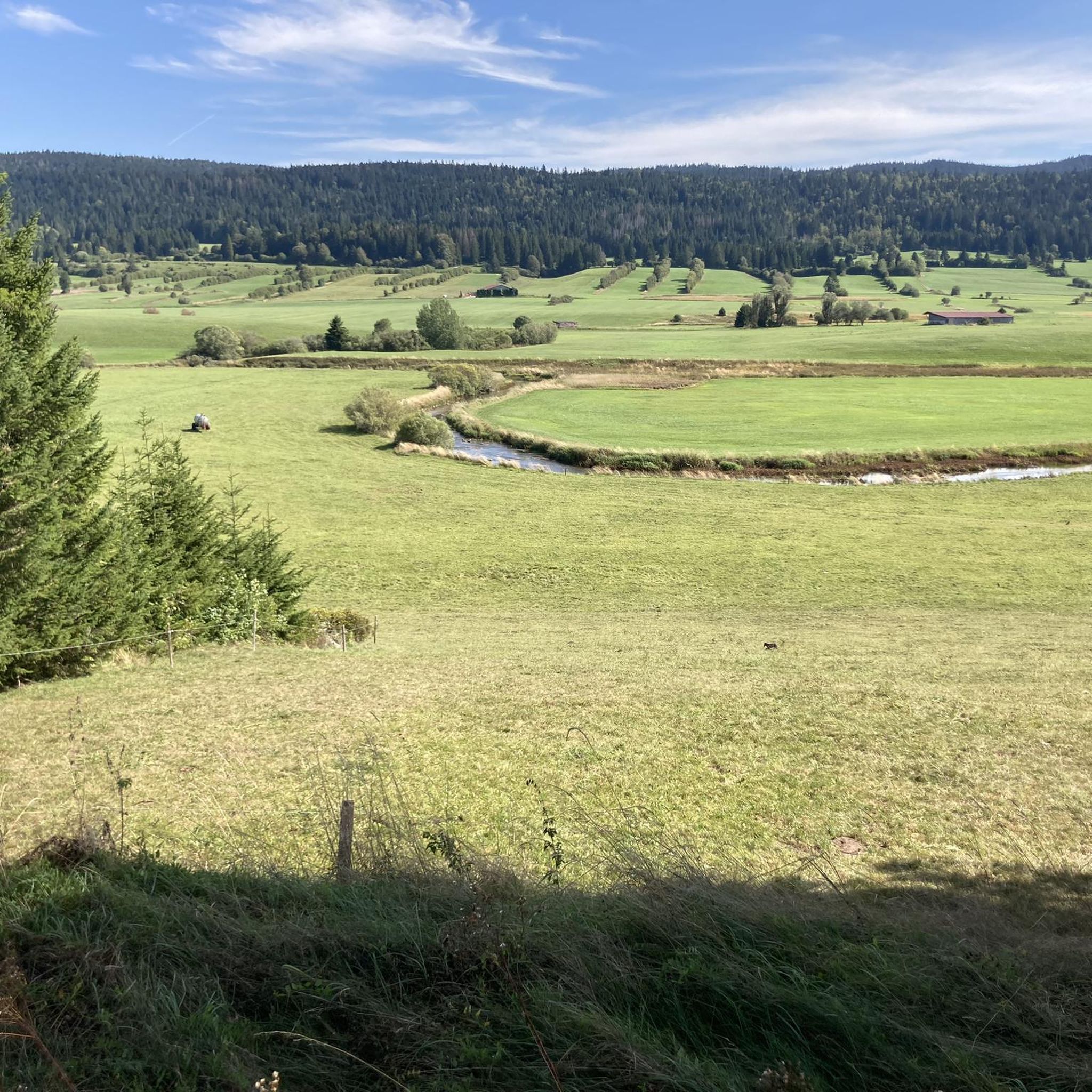
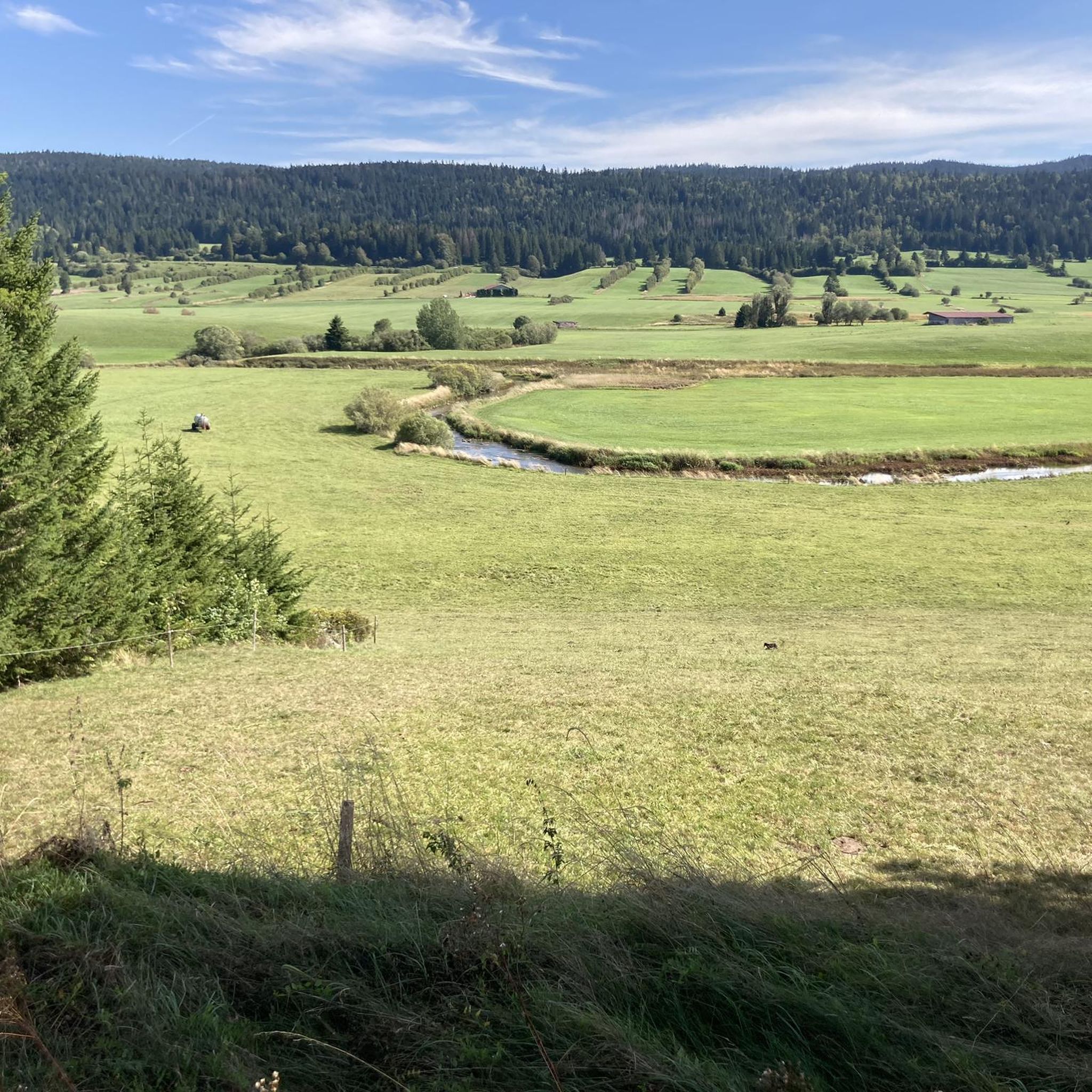
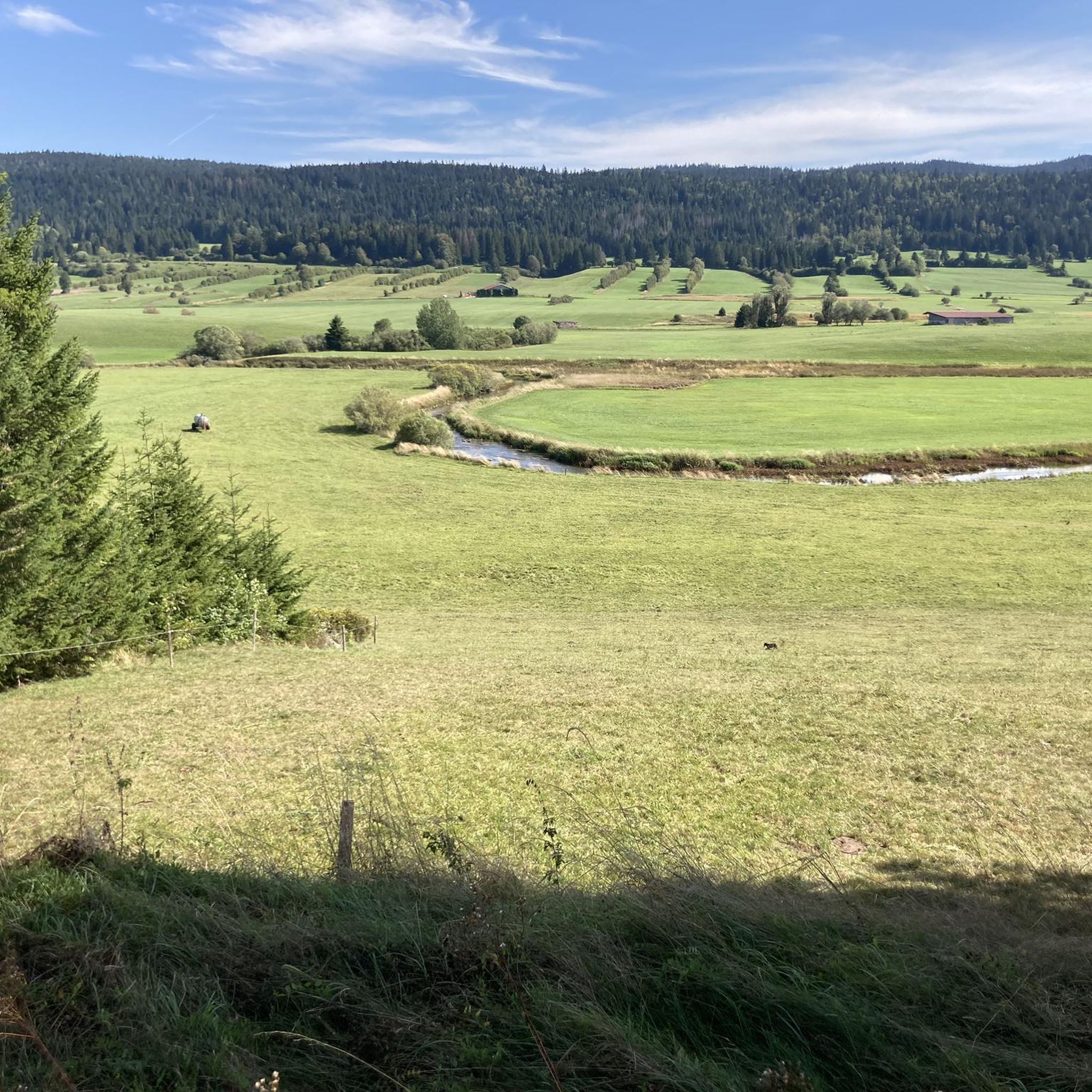
Viewpoint above the Doubs source with beautiful views through a forest clearing to Mouthe and the Doubs river.
6
0
The source of the Doubs River is a powerful karst spring in a heavily karstified area of the Jura Mountains. It lies at an altitude of 937 meters at the foot of the forested, up to 1,419-meter-high Mont Risoux mountain range, which straddles the border between France and Switzerland. The Doubs River rises from a small, approximately five-meter-deep spring basin in a cave in the rock.
6
0

superb view, technical climb to get there but not very long
0
0

Granges Raguin is a simple restaurant where you can refuel for very reasonable prices before continuing your walk or bike ride.
0
0


Frequently Asked Questions
How many hiking trails are available around Gellin?
Gellin offers a wide variety of hiking experiences, with over 260 routes recorded on komoot. This includes approximately 96 easy, 145 moderate, and 22 difficult trails, catering to all skill levels.
Are there any easy hikes suitable for beginners or families in Gellin?
Yes, Gellin has numerous easy trails perfect for beginners or families. A great option is The source of the Doubs – Doubs Bridge loop from Mouthe, an easy 0.8-mile (1.3 km) path that offers a direct experience of the Doubs river's source.
What are some challenging long-distance trails in the Gellin region?
For those seeking a challenge, Gellin offers several difficult routes. The The source of the Doubs – Alpage Granges Raguin loop from Mouthe is an 11.3-mile (18.2 km) trail with significant elevation changes, typically taking over 5 hours to complete.
Are there any circular walks around Gellin?
Many of the trails in Gellin are designed as circular routes, allowing you to start and end in the same location. An example is the Doubs Bridge – The source of the Doubs loop from Sarrageois, a moderate 6.2-mile (9.9 km) loop.
What kind of natural features or landmarks can I expect to see on hikes in Gellin?
Hiking in Gellin is characterized by river valleys, elevated viewpoints, and alpine pastures. A prominent feature is the source of the Doubs river. You can also find impressive mountain peaks like Dent de Vaulion and Mont d'Or nearby, offering stunning vistas.
Are there any viewpoints along the hiking trails in Gellin?
Yes, the region is known for its elevated viewpoints. The Belvédère des Deux Lacs – Two Lakes Viewpoint loop from Brey-et-Maison-du-Bois is an easy 3.3-mile (5.3 km) trail specifically designed to lead to a scenic overlook of two lakes.
Is Gellin a good destination for dog-friendly hikes?
Gellin's natural landscapes are generally welcoming for dogs. Most trails are suitable for well-behaved dogs on a leash. Always ensure your dog is under control and respect local wildlife and other hikers.
What is the best time of year to go hiking in Gellin?
The best time to hike in Gellin is typically from late spring through early autumn (May to October) when the weather is mild and trails are clear. Summer offers lush greenery, while autumn brings beautiful foliage. Winter hiking is possible but requires appropriate gear due to snow and colder temperatures.
Are there places to stay or rest along the trails in Gellin?
Yes, the area around Gellin features several huts and cabins that can serve as resting points or even overnight stays for longer treks. Notable options include the Clamagasin Hut and the Ma Belle Étoile Cabin.
What do other hikers say about the trails in Gellin?
The hiking trails in Gellin are highly regarded by the komoot community, with an average rating of 4.6 stars from over 1,500 reviews. Hikers frequently praise the diverse landscapes, well-maintained paths, and the serene beauty of the Doubs river source.
Is public transport available to reach the hiking trailheads in Gellin?
While specific public transport links directly to every trailhead might be limited, major towns like Mouthe, which serve as starting points for several routes, often have bus connections. It's advisable to check local transport schedules for the most up-to-date information when planning your trip.
Where can I park my car when hiking in Gellin?
Parking is generally available at or near the starting points of many popular trails, especially in villages like Mouthe and Sarrageois. Look for designated parking areas or roadside parking where permitted. Always check for local signage regarding parking regulations.
Most popular attractions around Gellin

Get inspired with the komoot mobile app


Explore more
Browse the best Hikes in other regions.
