The best cycling routes around Bouzigues
4.2
(2087)
15,167
riders
248
rides
Touring cycling around Bouzigues offers routes primarily along the Étang de Thau and its surrounding canals. The terrain is generally flat, characterized by coastal paths and greenways, with minimal elevation changes. This region provides a network of paths suitable for various cycling abilities, connecting coastal towns and offering views of the lagoon.
Best touring cycling routes around Bouzigues
- The most popular touring cycling route is Sète city – Sète Canal loop from Stade Louis Michel, an 11.4 miles (18.3…
Last updated: October 22, 2026
4.5
(161)
858
riders
30.5km
01:49
170m
170m
Moderate bike ride. Good fitness required. Mostly paved surfaces.
4.2
(24)
181
riders
21.3km
01:21
40m
40m
Easy bike ride. Mostly paved surfaces.

4.4
(13)
112
riders
12.9km
00:47
70m
70m
Easy bike ride. Mostly paved surfaces.
5.0
(1)
49
riders
Easy bike ride. Mostly paved surfaces.
4.1
(8)
43
riders
65.7km
04:10
720m
720m
Hard bike ride. Very good fitness required. Mostly paved surfaces.
Get access to more routes and recommendations from other explorers.
Already have an account?
Our route recommendations are based on thousands of hikes, rides, and runs completed by other people on komoot.
Start today with a free account
Your next adventure awaits.
Tips from the Community

And this time we are not driving through, but staying overnight in this attractive town at the Georges Hostel. The beautiful square with the music pavilion is totally "modernized" and sealed, all the old trees are gone and replaced by young ones. Presumably because there is now an underground car park underneath. Simply a shame and, given the heavy rainfall, certainly also unwise. In 2024 it was still much nicer.
0
0

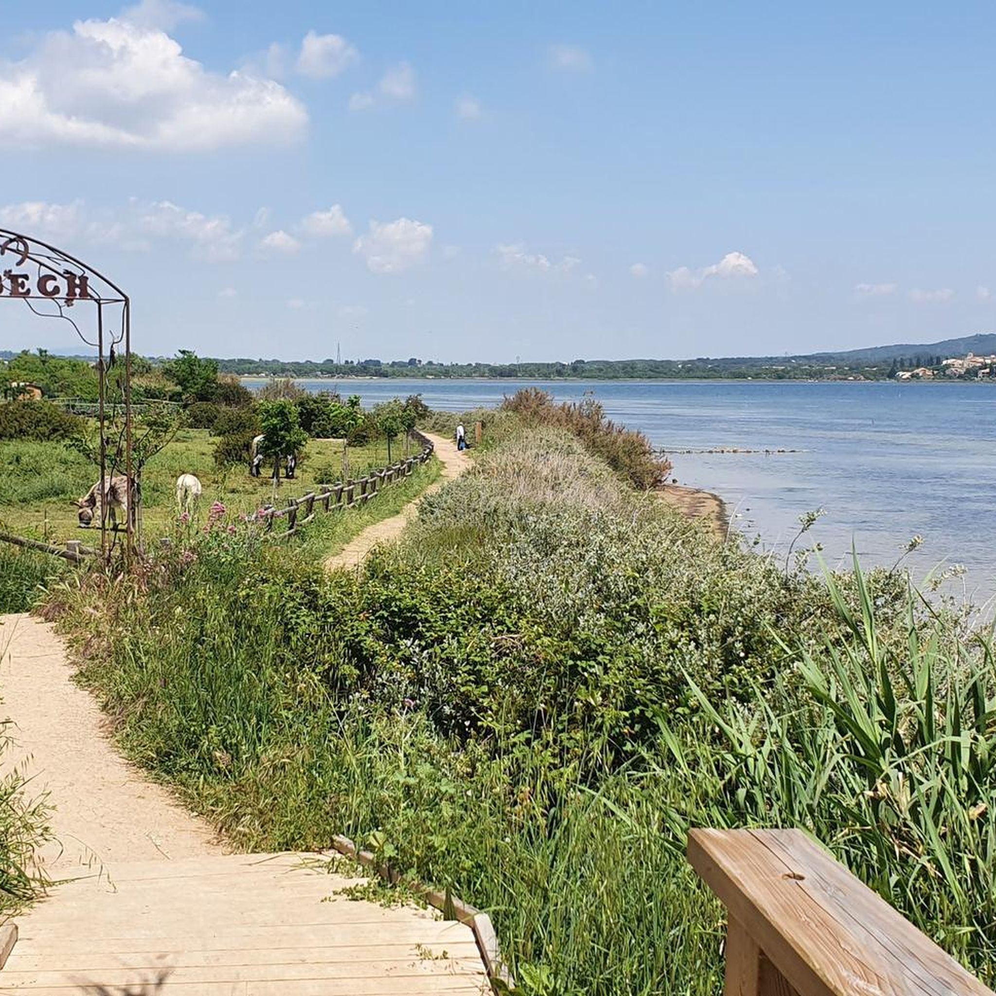
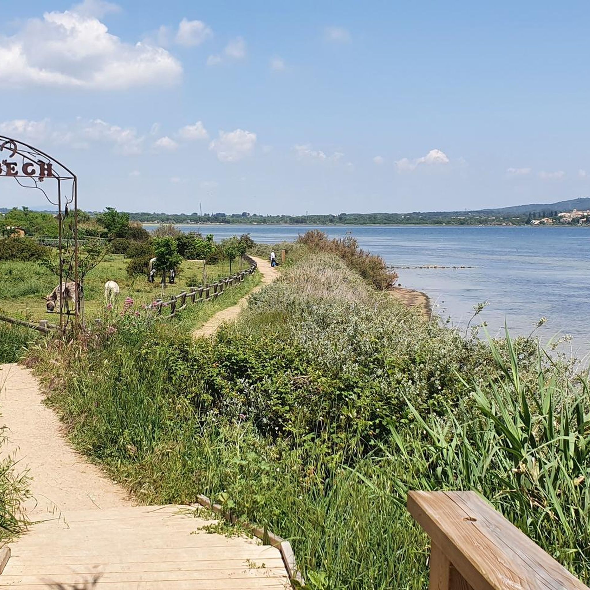
The path that crosses the Catonnière is developed and secured. Between Bouzigues and Balaruc-le-Vieux, this greenway partly follows the old railway line that once connected the two towns. It then gradually reaches the wetlands on the edge of the Thau lagoon. As you approach the Crique de l’Angle, the route becomes particularly unique: the path advances through the water, with ponds on either side. This wetland is a refuge for many birds, especially flamingos. Further on, the greenway returns to dry land in the direction of Balaruc-le-Vieux.
2
0
From the greenway, the gaze plunges over the Thau lagoon and its immense checkerboard of shellfish farming tables. These regular alignments are the breeding facilities where oysters and mussels from the lagoon are produced. Bouzigues holds a special place in this history: in 1925, Antoine Louis Tudesq and other Bouzigues oyster farmers developed the «Pyramide» technique, which contributed to the development of shellfish farming in the lagoon.
3
0
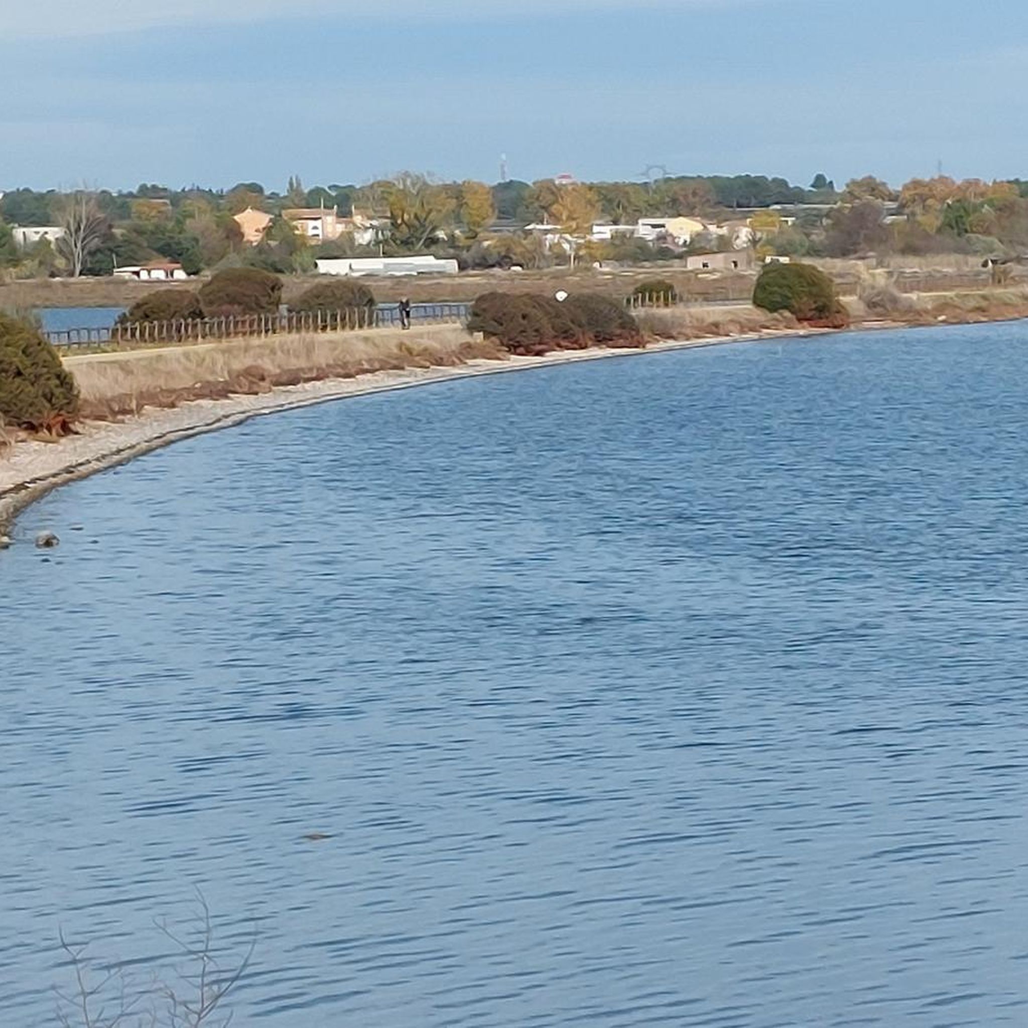
The voie verte runs here along a narrow strip of land between the étang de la Moulière to the north and the Crique de l’Angle to the south. The latter is a natural cove located at the eastern end of the étang de Thau, where the fresh waters of the Vène join the brackish waters of the lagoon. This wetland, classified as Natura 2000, is home to numerous water birds, among others. Beyond, the view also opens up onto the étang de Thau, then onto Sète, dominated by the silhouette of mont Saint-Clair (183 m).
3
0
From the greenway, your gaze plunges onto the Thau pond and its immense checkerboard of shellfish farming tables. These regular alignments are the farming facilities where the lagoon's oysters and mussels are produced. Bouzigues holds a special place in this story: in 1925, Antoine Louis Tudesq and other Bouzigues oyster farmers developed the "Pyramid" technique, which contributed to the development of shellfish farming in the pond.
2
0
From the greenway, your gaze plunges onto the Thau lagoon and its immense checkerboard of shellfish farms. These regular alignments are the farming facilities where the lagoon’s oysters and mussels are produced. Bouzigues holds a special place in this history: in 1925, Antoine Louis Tudesq and other Bouzigues shellfish farmers developed the "Pyramid" technique, which contributed to the development of shellfish farming in the lagoon.
3
0
Between Bouzigues and Balaruc-le-Vieux, this greenway partly follows the old railway line that once connected the two towns. After crossing landscapes of scrubland and vineyards, it gradually joins the wetlands on the edge of the Thau lagoon. As you approach the Crique de l’Angle, the route becomes particularly unique: the path advances through the water, with ponds on either side. This wetland is a refuge for many birds, especially flamingos. Further on, the greenway returns to dry land in the direction of Balaruc-le-Vieux.
3
0
The greenway runs here on a narrow strip of land between the Étang de la Moulière (to the north) and the Crique de l’Angle (to the south). The latter is a natural cove located at the eastern end of the Étang de Thau, where the fresh waters of the Vène meet the brackish waters of the lagoon. This wetland, classified as Natura 2000, hosts numerous water birds in particular. Facing south, the gaze crosses this cove to embrace the Étang de Thau, then Sète, dominated by the silhouette of Mont Saint-Clair (183 m).
3
0
Frequently Asked Questions
How many touring cycling routes are available around Bouzigues?
There are over 260 touring cycling routes around Bouzigues, offering a wide range of options for different skill levels and preferences. You'll find a mix of easy, moderate, and difficult trails to explore.
What is the best time of year for touring cycling in Bouzigues?
The best time for touring cycling in Bouzigues is typically during the spring (April to June) and early autumn (September to October). During these months, the weather is pleasantly mild, and the crowds are generally smaller than in the peak summer season. Summer can be very hot, especially in July and August, so early morning or late afternoon rides are recommended if cycling during this period.
Are there any easy touring cycling routes suitable for families in Bouzigues?
Yes, Bouzigues offers many easy touring cycling routes, with over 100 trails classified as easy. These routes often follow the flat coastal paths and greenways around the Étang de Thau, making them ideal for families. An example is the Royal Canal of Sète – Sète Canal loop from Balaruc-les-Bains, which is 17.5 miles (28.1 km) and features canal-side landscapes.
Where can I find more challenging touring cycling routes around Bouzigues?
For more advanced touring cyclists, Bouzigues has over 60 difficult routes. These often involve longer distances or slightly more varied terrain, though the region is generally flat. A challenging option is the Marseillan circuit – Beautiful view of the Étang de Thau. loop from Bouzigues, a 20.6 miles (33.2 km) path that provides expansive views across the lagoon.
Are there any circular touring cycling routes in the Bouzigues area?
Yes, many touring cycling routes around Bouzigues are circular, allowing you to start and end in the same location. For instance, the Sète city – Sète Canal loop from Stade Louis Michel is an 11.4 miles (18.3 km) loop that follows the Sète Canal, offering urban and waterside views.
What kind of views and attractions can I expect along the touring cycling routes?
The touring cycling routes around Bouzigues offer stunning views of the Étang de Thau, the Mediterranean Sea, and the surrounding coastal towns. You can also discover various attractions, such as the Bouzigues oyster farms, the Royal Canal of Sète, and the charming Port of Mèze. Many routes also pass by viewpoints like the Vue du Mont Saint-Clair sur l'étang de Thau.
Are touring cycling routes in Bouzigues dog-friendly?
Many of the touring cycling routes in Bouzigues, particularly those along dedicated greenways and quieter paths, can be dog-friendly. However, it's always recommended to keep your dog on a leash, especially in populated areas or near roads. Be mindful of the weather, as hot tarmac can be uncomfortable for paws, and ensure you carry enough water for both yourself and your dog.
What do other touring cyclists enjoy most about cycling in Bouzigues?
The touring cycling experience in Bouzigues is highly rated by the komoot community, with an average score of 4.3 stars from over 1700 reviews. Cyclists frequently praise the flat, accessible paths along the Étang de Thau, the beautiful coastal scenery, and the opportunity to explore charming towns and oyster farms. The well-maintained cycle paths and varied options for all skill levels are also often highlighted.
Are there any routes that offer views of Sète from Bouzigues?
Yes, several routes provide excellent views of Sète across the Étang de Thau. The Marseillan circuit – View of Sète loop from Bouzigues is an easy 16.4 miles (26.4 km) route specifically designed to showcase these panoramic vistas.
What kind of terrain can I expect on touring cycling routes around Bouzigues?
The terrain for touring cycling around Bouzigues is predominantly flat, characterized by coastal paths, dedicated greenways, and canal routes. There are minimal elevation changes, making it suitable for a relaxed cycling experience. The routes often feature paved surfaces or well-maintained gravel paths, ideal for touring bicycles.
Are there any long-distance touring cycling routes starting near Bouzigues?
For those seeking longer distances, routes like the Mas Vignosine – Greenway under the bridge loop from Balaruc-les-Bains offer a substantial challenge. This difficult route covers over 41 miles (66 km) and includes more significant elevation changes, providing an extended exploration of the wider region.
Most popular routes around Bouzigues
Most popular attractions around Bouzigues

Get inspired with the komoot mobile app


Explore more
Browse the best Cycling routes in other regions.
