The best running trails around Cieutat
4.7
(66)
4,000
runners
204
runs
Jogging around Cieutat offers a diverse landscape characterized by rolling hills and varied terrain, providing options for different fitness levels. The region features routes that traverse both open countryside and areas with notable elevation changes, such as those found near Mauvezin Castle. These running routes often follow established paths, allowing for exploration of the local environment.
Best jogging routes around Cieutat
- The most popular jogging route is Running loop from Bagnères-de-Bigorre, a 3.4 miles (5.5 km) trail that takes…
Last updated: July 4, 2026
4.5
(2)
14
runners
5.46km
00:39
140m
140m
Moderate run. Good fitness required. Mostly paved surfaces. Suitable for all skill levels.
11
runners
7.61km
00:59
250m
250m
Moderate run. Good fitness required. Mostly paved surfaces. Suitable for all skill levels.

Sign up for free
13
runners
13.0km
01:28
300m
300m
Moderate run. Good fitness required. Mostly paved surfaces. Suitable for all skill levels.
9
runners
7.00km
00:44
50m
50m
Moderate run. Good fitness required. Mostly paved surfaces. Suitable for all skill levels.
9
runners
11.7km
01:15
140m
140m
Moderate run. Good fitness required. Mostly paved surfaces. Suitable for all skill levels.
Get access to more routes and recommendations from other explorers.
Sign up for free
Already have an account?
Our route recommendations are based on thousands of hikes, rides, and runs completed by other people on komoot.
Start today with a free account
Your next adventure awaits.
Login or Signup

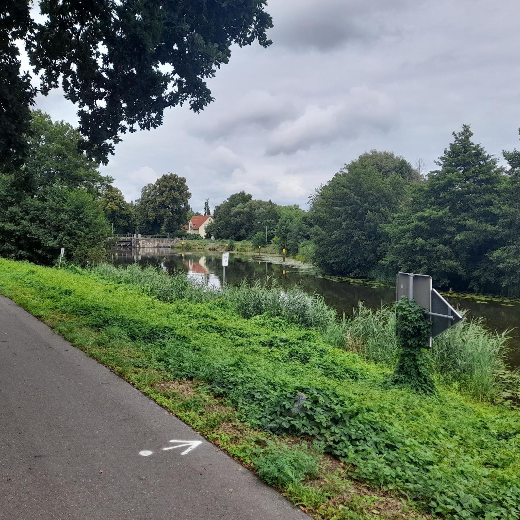
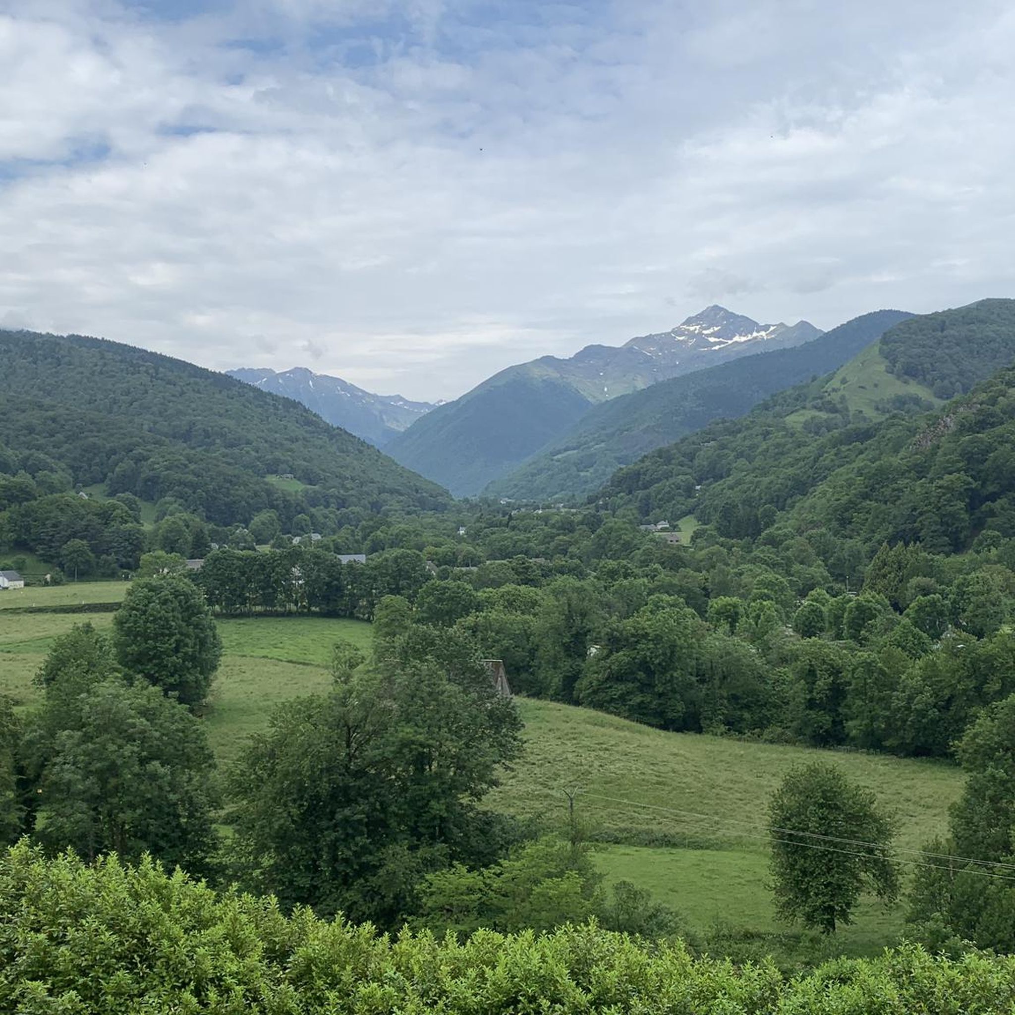
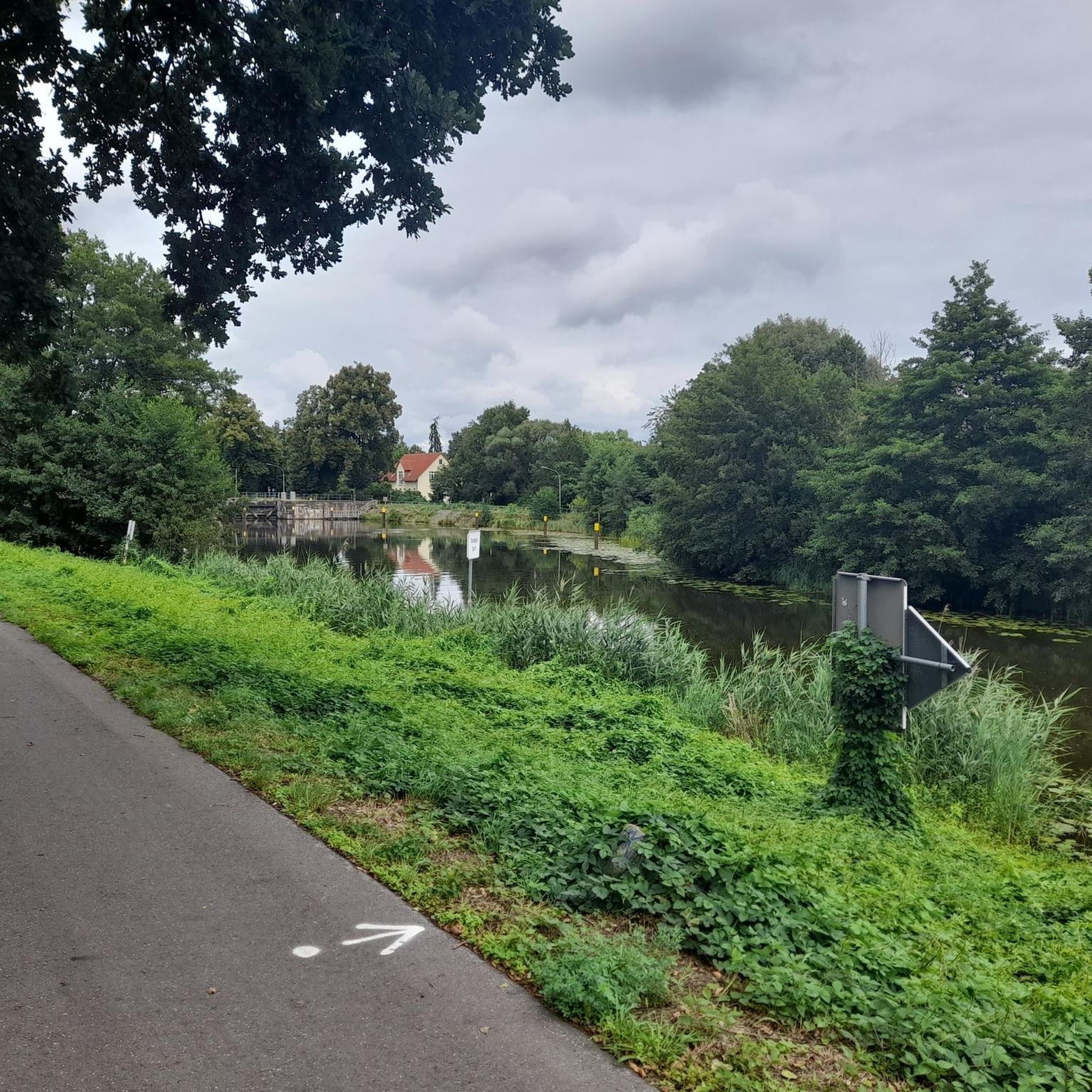

Tips from the Community

Bagnères-de-Bigorre is located at the foot of the emblematic Pic du Midi. This spa town, which dates back to ancient times, is located in a peaceful natural setting. The town is located about thirty kilometers from the Col du Tourmalet. The Col d'Aspin, another legend of the Tour de France, is also not very far away.
2
0

Mauvezin castle dominates the entire Toulouse-Bayonne road from its crenellated keep. The inner courtyard is a perfect example of medieval military architecture, in which replicas of war machines are exhibited. You can visit the castle during your hike!
2
1

Built on a rocky outcrop, this fortress built from the 12th century, was completed at the end of the 14th by Gaston Febus.
1
0
Frequently Asked Questions
How many running routes are available in Cieutat?
Cieutat offers a wide selection of running routes, with over 190 trails available for exploration. These routes cater to various fitness levels, ranging from easy strolls to more challenging runs.
Are there easy running routes suitable for beginners in Cieutat?
Yes, Cieutat has several easy running routes perfect for beginners. There are 6 routes specifically categorized as easy, providing gentle terrain to get started. For example, the Bagnères-de-Bigorre loop from Bagnères-de-Bigorre is a moderate 7 km path with minimal elevation gain, offering a pleasant experience.
What is the typical duration of running routes around Cieutat?
Running routes in Cieutat vary in duration. Shorter, moderate loops like the Running loop from Bagnères-de-Bigorre can be completed in about 40 minutes. Longer, more challenging trails, such as the Tournay loop from Tournay, might take around 1 hour 35 minutes or more, depending on your pace and the elevation.
Is parking available near the running trails in Cieutat?
While specific parking details vary by trailhead, many running routes in Cieutat start from villages or accessible points where public parking is generally available. It's advisable to check the route details on komoot for specific starting points and potential parking information before you go.
Are there family-friendly running options in Cieutat?
Yes, many of the easier and moderate routes in Cieutat are suitable for families looking to enjoy a run together. Trails with less elevation and well-maintained paths, like the Bagnères-de-Bigorre loop from Bagnères-de-Bigorre, can be a great choice for a family outing.
Can I bring my dog on the running trails in Cieutat?
Generally, dogs are welcome on many outdoor trails in the Cieutat region, especially in open countryside areas. However, it's always best to check local regulations or specific route details on komoot, as some protected areas or private lands may have restrictions. Always keep your dog on a leash and clean up after them.
What can I see along the running routes in Cieutat?
Many running routes in Cieutat offer scenic views and pass by interesting landmarks. For instance, the Mauvezin Castle – Mauvezin Castle loop from Bonnemazon provides views of the historic Abbaye de l'Escaladieu. Other routes might lead you past natural features like the Fontaine de Craste Descent or offer glimpses of the Bagnères-de-Bigorre area.
Are there any circular running routes in Cieutat?
Yes, many of the running routes in Cieutat are circular, allowing you to start and finish at the same point. Popular options include the Running loop from Bagnères-de-Bigorre and the Running loop from Tournay, which offer convenient round trips through varied landscapes.
What do other runners enjoy the most about jogging in Cieutat?
The running trails in Cieutat are highly rated by the komoot community, with an average score of 4.8 stars from over 50 reviews. Runners often praise the diverse landscape, which includes rolling hills and open countryside, as well as the variety of routes that cater to different ability levels. The well-maintained paths and scenic views are frequently highlighted as key attractions.
What is the best time of year for running in Cieutat?
The best time for running in Cieutat largely depends on personal preference. Spring and autumn offer pleasant temperatures and vibrant scenery, making them ideal for exploring the trails. Summer can be warm, so early morning or late afternoon runs are often preferred. Winter running is possible, but some higher elevation routes might be affected by weather conditions.
Are there any hidden gem running routes in Cieutat?
While the region is known for its popular trails, many of the 190+ routes offer unique experiences away from the busiest spots. Exploring some of the less-trafficked moderate or difficult trails can lead you to quieter sections of the countryside and provide a sense of discovery. Komoot's detailed maps can help you find these less-known paths.
What kind of wildlife might I encounter on the trails?
The rural and natural landscapes around Cieutat are home to various wildlife. Depending on the season and time of day, you might spot local bird species, small mammals, or even deer in the more secluded areas. Maintaining a respectful distance and keeping noise levels down will increase your chances of observing nature.
Most popular attractions around Cieutat

Get inspired with the komoot mobile app


Explore more
Browse the best Running Trails & Routes in other regions.
