The best walks and hikes around Balaiseaux
4.3
(36)
161
hikers
18
hikes
Hiking around Balaiseaux offers routes through a landscape characterized by ponds, gentle terrain, and areas around the Loue river. The region features low elevation changes, making many trails accessible. Hikers can expect paths that traverse natural areas, often looping around water features.
Best hiking trails around Balaiseaux
- The most popular hiking route is Étang Neuf – Watercress Pond loop from Les Deux-Fays, a 4.4 miles (7.1 km) trail that takes 1 hour 50 minutes to complete. This easy route…
Last updated: July 6, 2026
4.4
(19)
47
hikers
7.10km
01:50
40m
40m
Easy hike. Great for any fitness level. Easily-accessible paths. Suitable for all skill levels.
3.8
(5)
13
hikers
4.52km
01:10
20m
20m
Easy hike. Great for any fitness level. Easily-accessible paths. Suitable for all skill levels.

Sign up for free
5.0
(1)
9
hikers
12.7km
03:16
60m
60m
Moderate hike. Good fitness required. Easily-accessible paths. Suitable for all skill levels.
3.0
(1)
14
hikers
8.63km
02:11
10m
10m
Moderate hike. Good fitness required. Easily-accessible paths. Suitable for all skill levels.
5.0
(1)
6
hikers
3.91km
01:02
30m
30m
Easy hike. Great for any fitness level. Easily-accessible paths. Suitable for all skill levels.
Get access to more routes and recommendations from other explorers.
Sign up for free
Already have an account?
Our route recommendations are based on thousands of hikes, rides, and runs completed by other people on komoot.
Start today with a free account
Your next adventure awaits.
Login or Signup
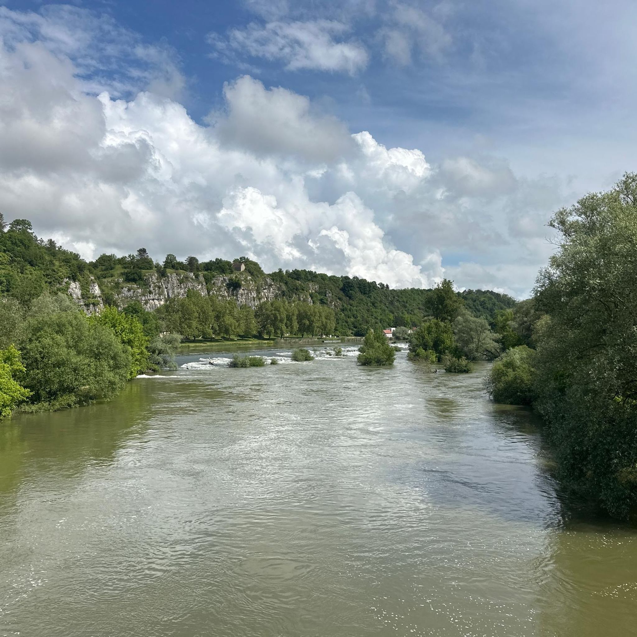

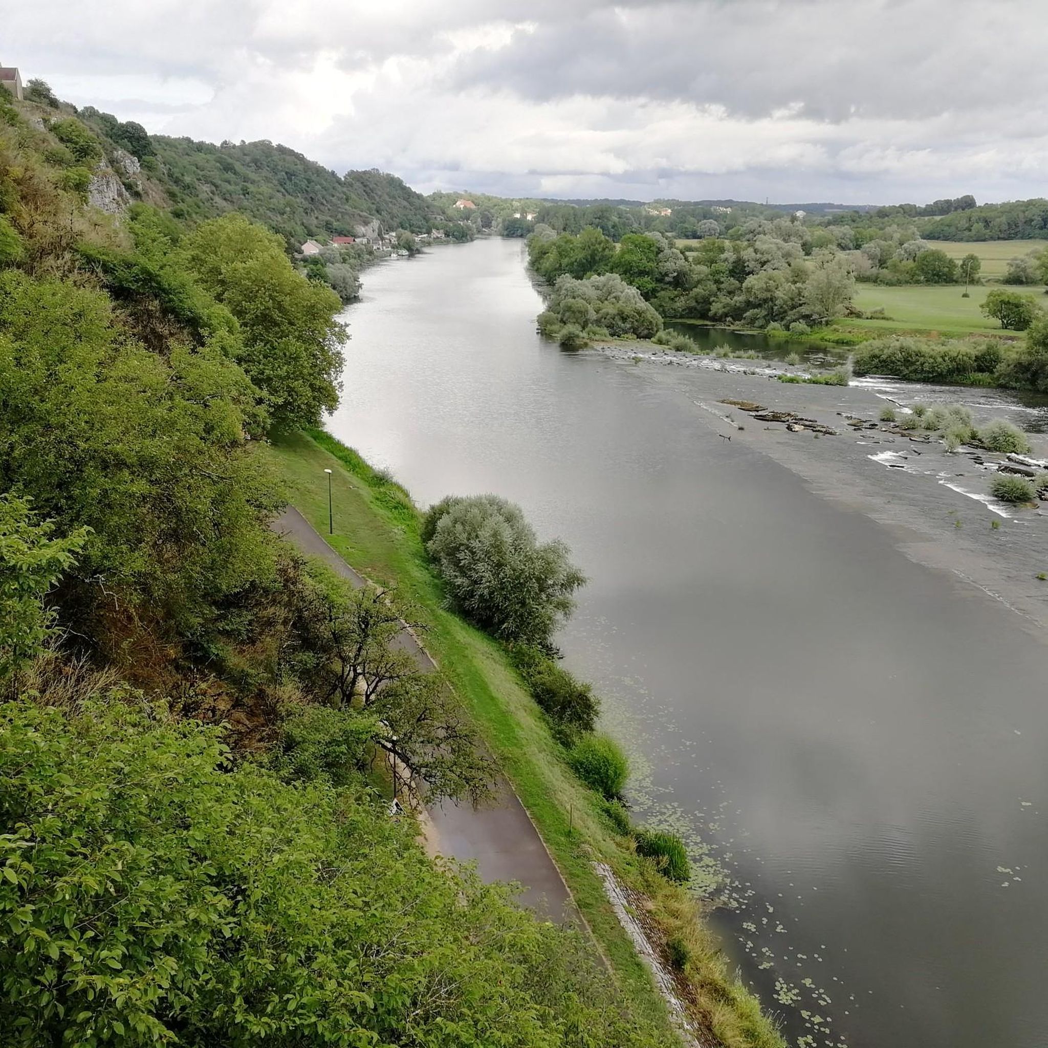


Tips from the Community

Maison des Étangs, before it was a railway station. The house of ponds is the starting point for several hiking trails in the Bresse-Revermont Community of Communes. This place has become a gîte that can accommodate 36 people. More info here: http://www.bresse-revermont.com/decouvert/la-maison-des-etangs.html
0
0

A large but beautiful campsite right on the Loue. Even has a small swimming pool.
1
0

Frequently Asked Questions
How many hiking trails are available in Balaiseaux?
Balaiseaux offers a selection of 19 hiking trails. These routes range from easy strolls around local ponds to more moderate explorations of the natural terrain.
Are there easy hiking trails suitable for beginners or casual walkers in Balaiseaux?
Yes, Balaiseaux features 10 easy hiking routes. A great option is the Watercress Pond – Étang Neuf loop from Les Deux-Fays, which is 2.8 miles (4.5 km) long and has minimal elevation changes.
What is the typical length and duration of hiking trails in Balaiseaux?
The hiking trails in Balaiseaux vary in length. For instance, the Jacquot Trail loop from Les Deux-Fays is about 2.4 miles (3.9 km) and takes around 1 hour, while the Watercress Pond – Maison des Étangs loop from Les Deux-Fays extends to 7.9 miles (12.7 km) and can take over 3 hours to complete.
Are there family-friendly hiking options in Balaiseaux?
Absolutely. The region's characteristic low elevation changes and gentle terrain make many of its easy routes ideal for families. These trails often loop around scenic water features, providing an enjoyable experience for all ages.
Can I bring my dog on the hiking trails in Balaiseaux?
While specific regulations can vary, generally, dogs are welcome on trails in Balaiseaux. We recommend keeping them on a leash, especially near wildlife or other hikers, and always cleaning up after them to preserve the natural environment.
What kind of terrain can I expect on hikes around Balaiseaux?
Hikers in Balaiseaux can expect paths that traverse natural areas with low elevation changes. The landscape is defined by numerous ponds, watercress areas, and gentle terrain, often following loops around these water features.
Are there any circular walks available in Balaiseaux?
Yes, many of the trails in Balaiseaux are designed as circular routes, allowing you to start and end at the same point. An example is the popular Étang Neuf – Watercress Pond loop from Les Deux-Fays.
What are some interesting places to explore or landmarks near the hiking trails?
Near the hiking trails, you can explore several points of interest. The Maison des Étangs is a notable facility, and there are also sections of the Voie de la Bresse Jurassienne at Gatey, which is a cycle way that can be explored.
What do other hikers enjoy most about hiking in Balaiseaux?
The area is highly rated by the komoot community, with an average score of 4.3 stars from over 30 reviews. Hikers often praise the tranquil atmosphere, the scenic ponds, and the gentle, accessible nature of the trails.
Are there any moderate hiking trails for those looking for a bit more challenge?
Yes, Balaiseaux offers 9 moderate routes for those seeking a longer or slightly more challenging experience. The Les Bords de la Loue Campsite loop from Parcey is a good example, covering 5.4 miles (8.6 km) with gentle elevation changes.
What is the best time of year to go hiking in Balaiseaux?
Given the region's gentle terrain and focus on water features, hiking in Balaiseaux is enjoyable throughout much of the year. Spring and autumn offer pleasant temperatures and beautiful scenery, while summer provides lush greenery. Winter hiking is also possible, though conditions may vary.
Where can I find parking for the hiking trails in Balaiseaux?
Many trails in Balaiseaux, particularly those starting from villages like Les Deux-Fays, typically have designated or informal parking areas nearby. Specific parking details are often available on individual route pages or through local signage at trailheads.
Most popular routes around Balaiseaux
Most popular attractions around Balaiseaux

Get inspired with the komoot mobile app


Explore more
Browse the best Hikes in other regions.
