The best running trails around Saint-Loup-Cammas
4.2
(414)
29,828
runners
13
runs
Jogging routes around Saint-Loup-Cammas are situated in the north of France's Haute-Garonne department, within the Occitanie region. The area features an average altitude of 200 meters, offering views over the Garonne valley and the city of Toulouse, with the Pyrenees visible on clear days. The terrain is characterized by a mix of rural landscapes, including fields, hills (coteaux), and paths through woods, providing varied running experiences.
Best jogging routes around Saint-Loup-Cammas
- The most popular jogging route is Wide Gravel Descent…
Last updated: July 10, 2026
3.0
(1)
76
runners
10.8km
01:09
130m
130m
Moderate run. Good fitness required. Mostly paved surfaces. Suitable for all skill levels.
39
runners
8.28km
00:52
40m
40m
Moderate run. Good fitness required. Mostly paved surfaces. Suitable for all skill levels.

Sign up for free
28
runners
Moderate run. Good fitness required. Mostly paved surfaces. Suitable for all skill levels.
14
runners
12.1km
01:16
80m
80m
Moderate run. Good fitness required. Mostly paved surfaces. Suitable for all skill levels.
6
runners
29.9km
03:30
310m
310m
Hard run. Very good fitness required. Mostly paved surfaces. Suitable for all skill levels.
Get access to more routes and recommendations from other explorers.
Sign up for free
Already have an account?
Our route recommendations are based on thousands of hikes, rides, and runs completed by other people on komoot.
Start today with a free account
Your next adventure awaits.
Login or Signup



Tips from the Community

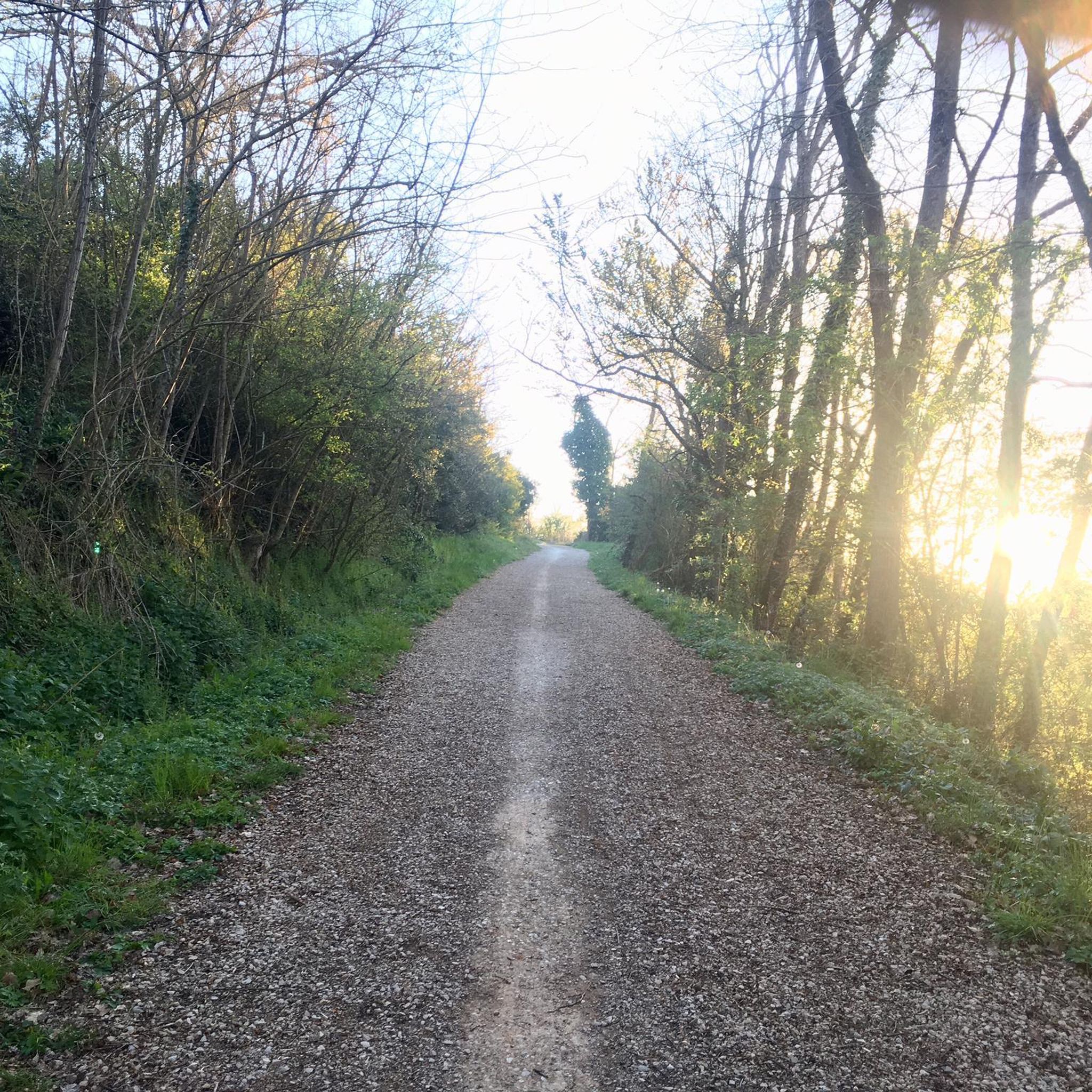
Dirt road. Definitely muddy in rainy weather.
0
0

Dirt road with large holes. we saw the feeling of being on a roller coaster.
0
0
Frequently Asked Questions
What kind of terrain can I expect on the running routes around Saint-Loup-Cammas?
The area offers a diverse mix of terrains, including paths through woods (sentiers dans les bois), rural landscapes with fields, and hills known as coteaux. This variety provides different running experiences, from pleasant forest runs to more challenging routes with varied gradients.
Are there many running routes available in the Saint-Loup-Cammas area?
Yes, komoot lists over 490 running routes around Saint-Loup-Cammas. These range from easy paths to more challenging trails, catering to various fitness levels.
What do other runners think about the trails in Saint-Loup-Cammas?
The running routes in Saint-Loup-Cammas are highly regarded by the komoot community, holding an average rating of 4.3 stars from over 370 reviews. More than 26,000 runners have used komoot to explore the varied terrain here, often praising the scenic rural landscapes and well-maintained paths.
Are there any family-friendly jogging routes in Saint-Loup-Cammas?
While specific 'family-friendly' designations aren't always explicit, the region offers a good number of easy and moderate routes. For example, the Chemin des Mottes – Wide Gravel Descent loop from Saint-Loup-Cammas is a moderate 5.3 km trail that can be completed in about 34 minutes, making it suitable for families looking for a shorter, accessible run.
Can I bring my dog on the running trails in Saint-Loup-Cammas?
Generally, dogs are welcome on many outdoor trails in France, especially in rural areas. However, it's always recommended to keep your dog on a leash, particularly when passing through agricultural land or near wildlife, and to check for any specific local regulations or signage on individual routes.
What are some notable landmarks or viewpoints I might encounter while running?
While running, you can enjoy picturesque views overlooking the Garonne valley and the city of Toulouse to the south. On clear days, the majestic Pyrenees mountains are visible. For specific attractions, the nearby city of Toulouse offers historical sites like Capitole Square and the Saint-Sernin Basilica.
Are there any circular running routes available?
Yes, many of the routes around Saint-Loup-Cammas are designed as loops. A popular option is the Wide Gravel Descent – Chemin des Mottes loop from Saint-Loup-Cammas, which is a 10.8 km moderate trail.
What is the best time of year for jogging in Saint-Loup-Cammas?
Spring and autumn generally offer the most pleasant conditions for jogging, with milder temperatures. While the trails are accessible year-round, some paths can become muddy during wet periods, so be prepared for varied conditions if running in winter or after heavy rain.
Is there parking available at the trailheads?
Information on specific parking facilities for each trailhead is often available on individual komoot route pages. Given the rural nature of Saint-Loup-Cammas, you can typically find parking in village centers or designated areas near popular starting points for trails.
How challenging are the running routes in this region?
The routes around Saint-Loup-Cammas cater to various abilities. You'll find a good mix, with 51 easy routes, 396 moderate routes, and 47 difficult routes. This means you can choose a path that matches your fitness level, from gentle runs to more demanding trails with varied elevation.
Are there any longer running routes for experienced runners?
Yes, for those seeking a longer challenge, the Chemin des Mottes loop from Pechbonnieu is a difficult 15.2 km route with over 114 meters of elevation gain, offering a more extensive running experience.
What kind of natural features can I expect to see on the trails?
The trails often traverse rural landscapes with fields and hills (coteaux), offering scenic views. You'll also find paths winding through woods, providing a natural and engaging running environment. The area's elevation allows for panoramic views over the Garonne valley.
Most popular routes around Saint-Loup-Cammas
Most popular attractions around Saint-Loup-Cammas

Get inspired with the komoot mobile app


Explore more
Browse the best Running Trails & Routes in other regions.
