The best walks and hikes around Behringersdorfer Forst
4.4
(175)
669
hikers
23
hikes
Hiking around Behringersdorfer Forst offers trails through dense forests and gentle topography, characteristic of the larger Sebalder and Nürnberger Reichswald areas. The terrain features sandy soil with conifers, birches, and alders, and elevations typically range between 348 and 371 meters above sea level. Water features such as the Behringersdorfer See, a re-naturalized former sand pit, and the Langwassergraben stream, add to the natural landscape. The area also includes historical elements like the Fabrikgut Hammer and archaeological finds.
Best hiking trails…
Last updated: October 1, 2026
3.5
(4)
32
hikers
Easy hike. Great for any fitness level. Easily-accessible paths. Suitable for all skill levels.
4.8
(5)
18
hikers
Moderate hike. Good fitness required. Easily-accessible paths. Suitable for all skill levels.

5.0
(6)
20
hikers
Easy hike. Great for any fitness level. Easily-accessible paths. Suitable for all skill levels.
4.7
(6)
19
hikers
Easy hike. Great for any fitness level. Easily-accessible paths. Suitable for all skill levels.
4.4
(5)
17
hikers
Moderate hike. Good fitness required. Easily-accessible paths. Suitable for all skill levels.
Get access to more routes and recommendations from other explorers.
Already have an account?
Our route recommendations are based on thousands of hikes, rides, and runs completed by other people on komoot.
Start today with a free account
Your next adventure awaits.
Tips from the Community

The lake is an old gravel pit lake from which the company Zapf extracted its raw material for sand-lime bricks. Today it is completely fenced off and a protected landscape area with a ban on swimming and entering.
0
0

A new biotope is being created here, with a lovely rest area and a large table.
0
0
Information board and bench at the Zapfsee about Bronze Age finds and the former sand mining area.
0
0


The paths between the forest roads are very exciting.
0
0

The former sand pit of the Behringersdorfer Zapfwerke was converted into a nature reserve. Also called Behringsersdorfer See - is a former sand pit of the Behringersdorfer Zapfwerke, which was renaturalized with EU funds. Today the lake is a nature reserve. Unfortunately, the entire lake is surrounded by a fence, so that you can only get a glimpse of this rather large lake in a few places. Part of the lake is leased to anglers.
3
0

Cool trail on the Langwassergraben. Reminds me a little of the Röthenbachklamm. Really recommended.
0
0

At the crossing island of various hiking trails there is a rest area with a table and other rest benches
0
0
Frequently Asked Questions
How many hiking trails are available in Behringersdorfer Forst?
Behringersdorfer Forst offers over 20 diverse hiking routes. These range from easy strolls through the forest to more moderate trails that require good basic fitness.
Are there any easy, family-friendly hikes in Behringersdorfer Forst?
Yes, the region is well-suited for families with many easy routes. An excellent option is the Picnic Area by the Pond – View Along the Forest Path loop, which features easily accessible paths and is suitable for all fitness levels.
Can I find circular hiking routes in Behringersdorfer Forst?
Many of the trails in Behringersdorfer Forst are circular routes, perfect for exploring without retracing your steps. For example, the Zeller Brünnlein – Wooden Bridge Over the Stream loop offers varied scenery along the Langwassergraben stream.
Are there any waterfalls or significant water features to see?
Yes, water features are a highlight. The Klingender Waterfall is a notable attraction that can be included in longer hikes, such as the 'Moritzberg Berggasthof – Klingender Wasserfall Runde ab Schönberg' mentioned in regional guides. You can also find the Langenbruckermühle Watermill and Waterfall and a Forest Spring and Mini Waterfall in the area.
What kind of terrain can I expect on the trails?
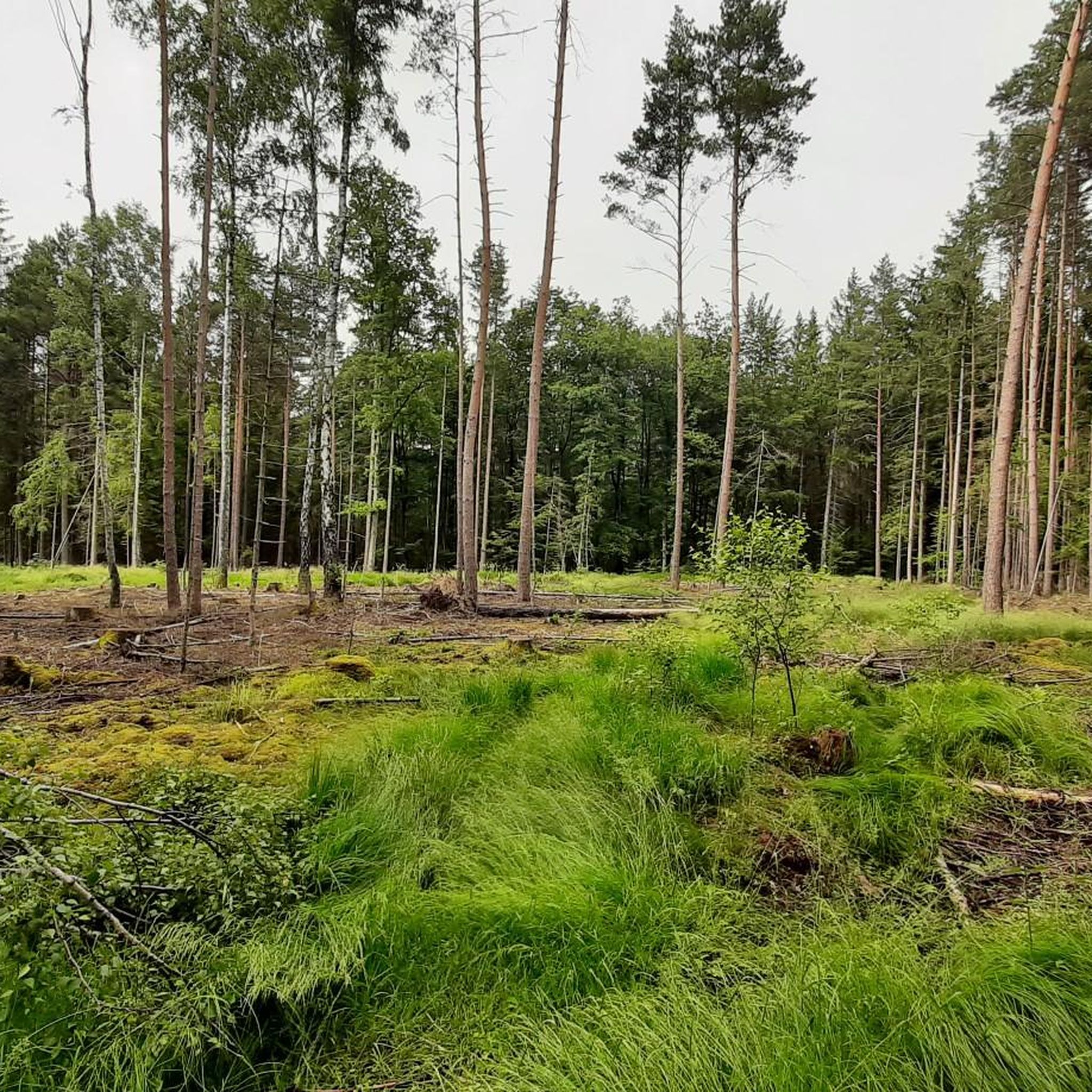
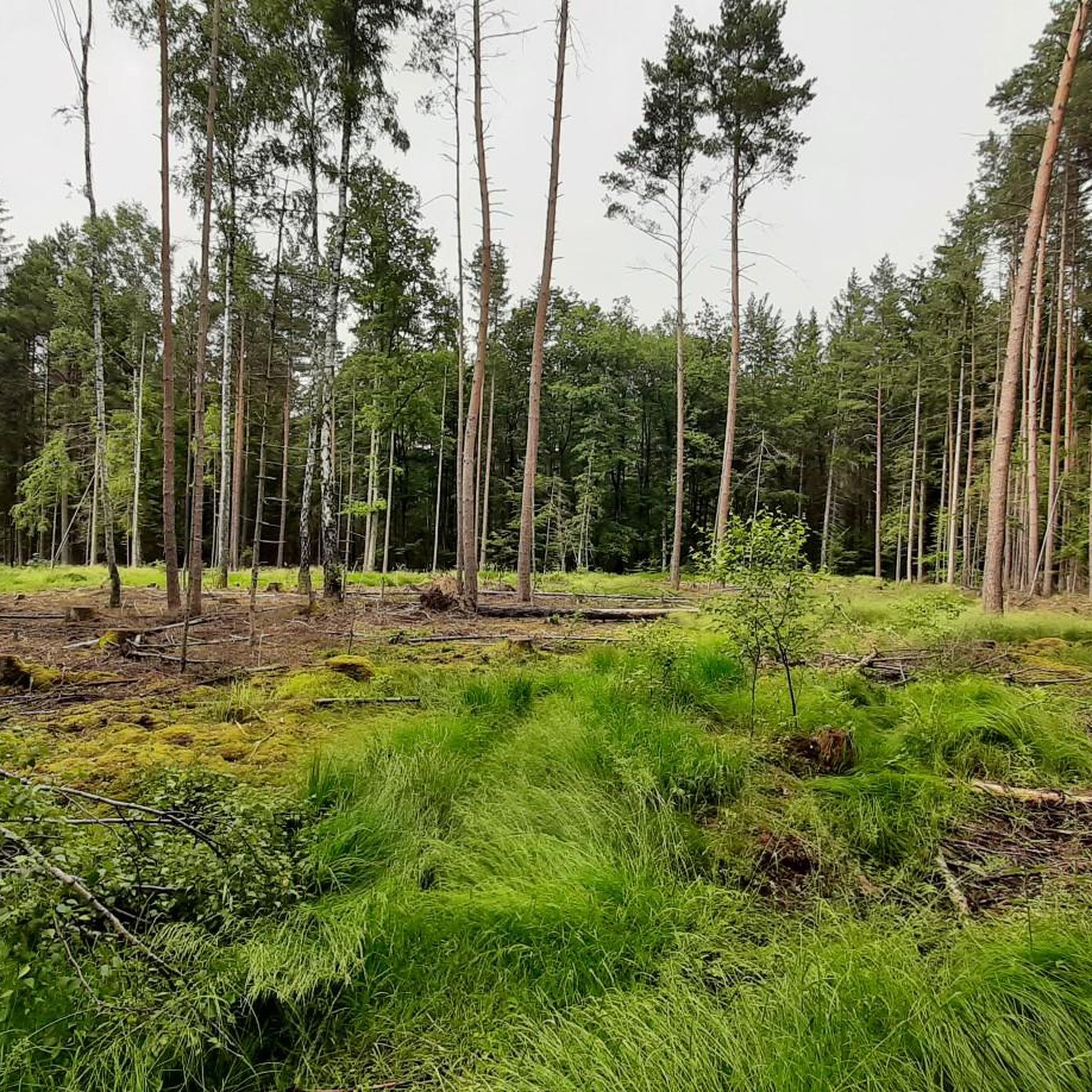
The terrain in Behringersdorfer Forst is characterized by dense forests, gentle topography, and sandy soil. You'll find a mix of conifers, birches, and alders. Elevations are generally moderate, ranging between 348 and 371 meters, with the Haidberg being the highest point at nearly 400 meters.
Are there any historical sites or landmarks along the hiking trails?
Beyond natural beauty, you can encounter historical elements. The Fabrikgut Hammer is an industrial-historical ensemble accessible year-round. Near the Zapfsee, information boards highlight archaeological finds from the Bronze Age. In nearby Behringersdorf, you can also see the Old and New Castles and the Parish Church of St. Maria Magdalena.
What do other hikers say about the trails in Behringersdorfer Forst?
The trails in Behringersdorfer Forst are highly regarded by the komoot community, with an average rating of 4.5 stars from over 150 reviews. Hikers often praise the quiet woodlands, well-maintained paths, and the diverse natural features like the Behringersdorfer See and the Langwassergraben stream.
Are there any moderate or more challenging routes for experienced hikers?
While many routes are easy, there are moderate options for those seeking more challenge. The Inn at Oedenberg Castle – Güntersbühl–Oedenberg Trail loop is a moderate 9.8 km route with varied forest terrain and some elevation changes.
Can I bring my dog on the hiking trails?
Behringersdorfer Forst is generally dog-friendly, with many trails suitable for walks with your canine companion. Always ensure your dog is under control, and check for any specific local regulations or protected areas, especially around nature reserves like the Behringersdorfer See.
Are there any specific natural reserves or protected areas to be aware of?
The Behringersdorfer See (also known as Zapfsee) is a notable natural reserve, a re-naturalized former sand pit that serves as a bird sanctuary. Access around the entire lake is somewhat limited by fencing to protect the wildlife, but there are paths offering views of this serene spot.
What is the best time of year to hike in Behringersdorfer Forst?
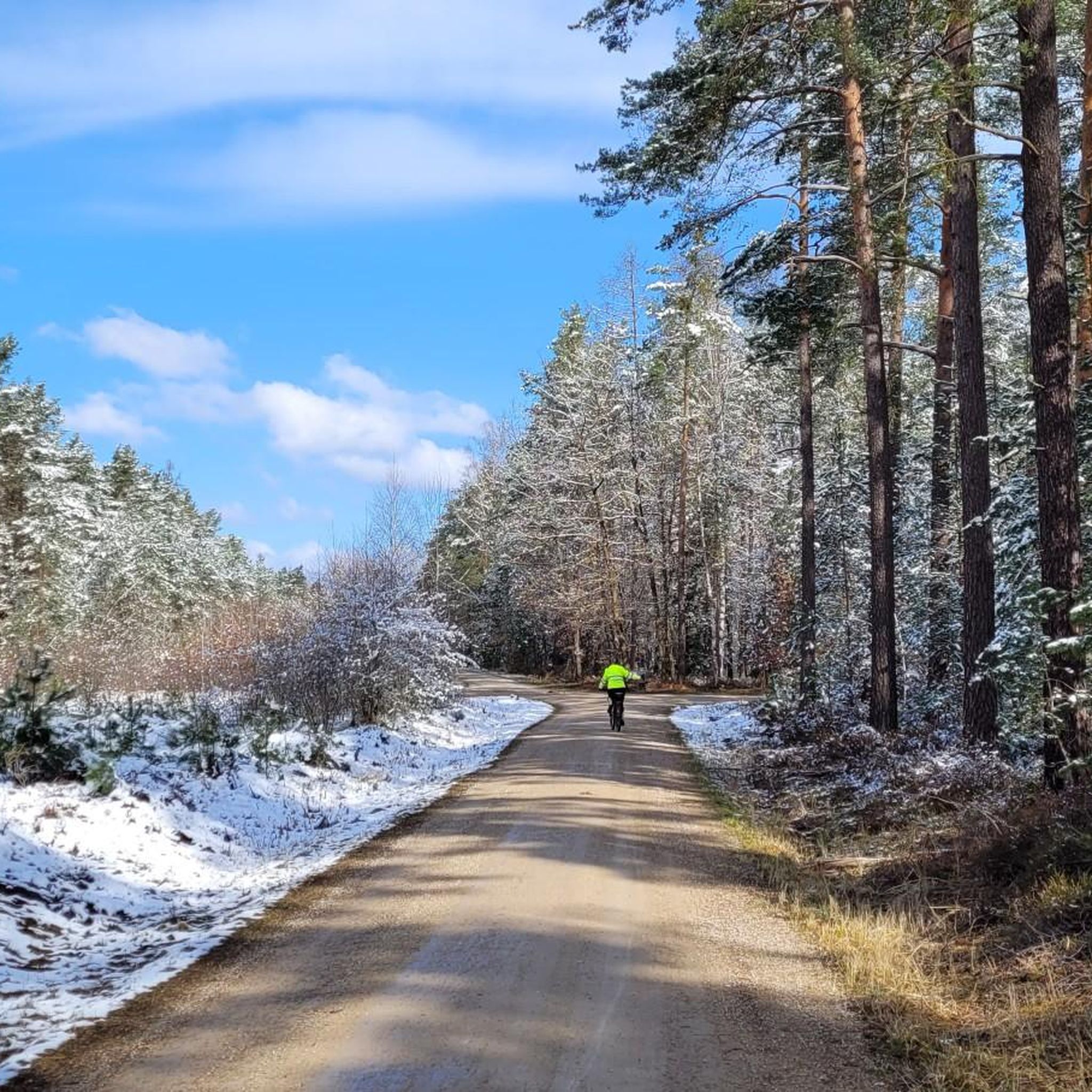
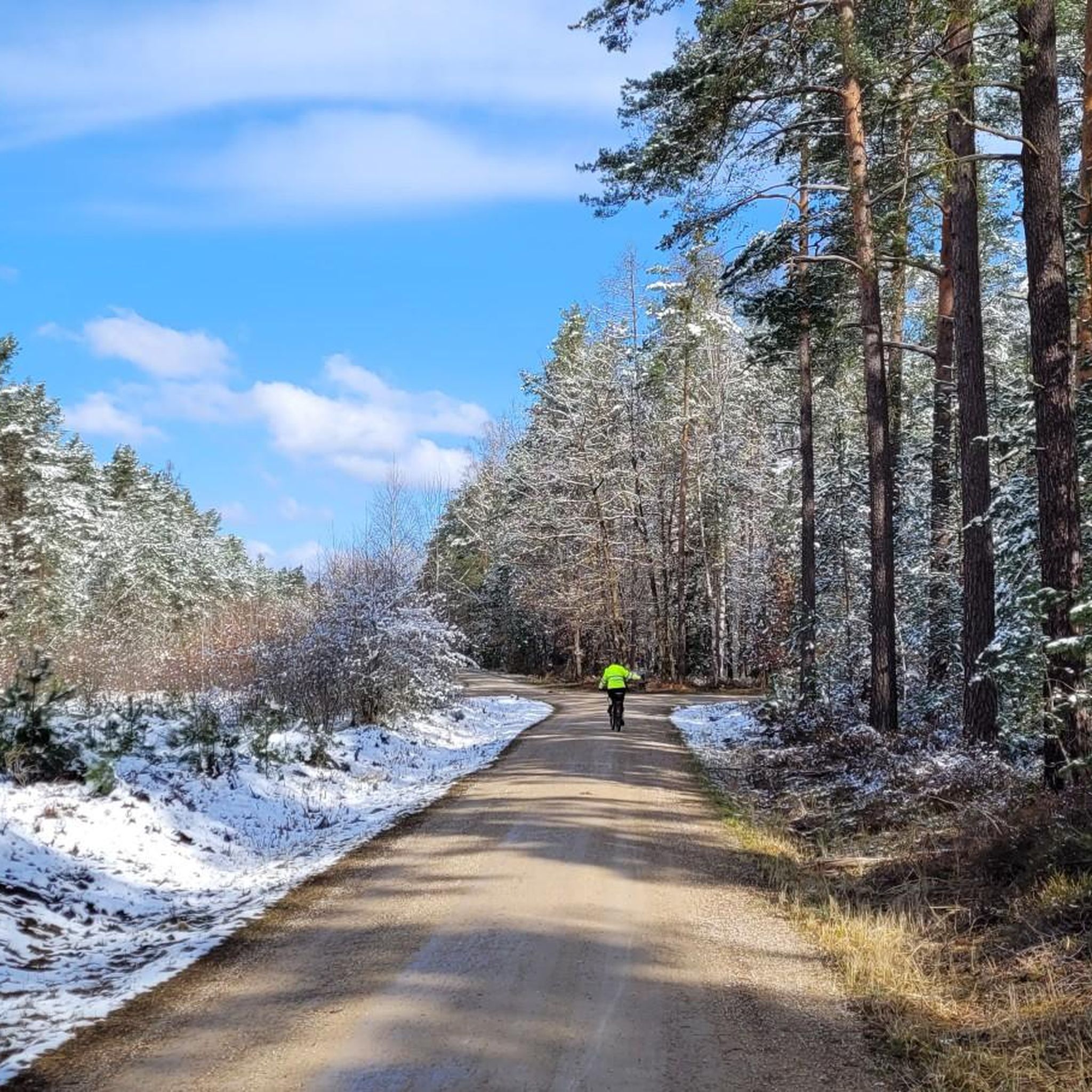
The Behringersdorfer Forst is enjoyable year-round. Spring brings lush greenery, summer offers shaded paths, and autumn provides beautiful foliage. Even in winter, the Langwassergraben stream can be particularly lively, offering a unique experience, though some paths might be muddy or icy.
Are there any other interesting natural features besides waterfalls?
Yes, the area features the Teufelsbadstube Gorge and the Brunngraben Cave, which add to the diverse natural landscape and offer unique points of interest for hikers.
Most popular routes around Behringersdorfer Forst
Most popular attractions around Behringersdorfer Forst

Get inspired with the komoot mobile app


Explore more
Browse the best Hikes in other regions.
